Higher Houses Moor
Downs, Moorland in Yorkshire Ribble Valley
England
Higher Houses Moor
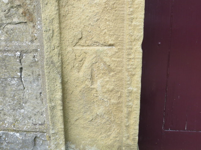
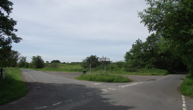
![Ordnance Survey Cut Mark with Rivet This mark and rivet can be found on the top of a boundary stone at Carr Moor crossroads.
The benchmark has a recorded height of 165.7167 metres above sea level.
For more detail see : <span class="nowrap"><a title="https://www.bench-marks.org.uk/bm124037" rel="nofollow ugc noopener" href="https://www.bench-marks.org.uk/bm124037">Link</a><img style="margin-left:2px;" alt="External link" title="External link - shift click to open in new window" src="https://s1.geograph.org.uk/img/external.png" width="10" height="10"/></span>
[Since the earlier picture <a title="https://www.geograph.org.uk/photo/6038091" href="https://www.geograph.org.uk/photo/6038091">Link</a> the boundary stone seems to have been involved in a RTA and is now leaning at a 45 degree angle]](https://s3.geograph.org.uk/geophotos/06/91/92/6919283_f9856956.jpg)
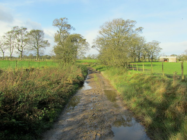
Higher Houses Moor is a picturesque area located in Yorkshire, England. Situated in the region known as the Yorkshire Downs, it is characterized by its stunning moorland landscape. Covering a vast expanse of land, Higher Houses Moor offers visitors a unique and captivating experience.
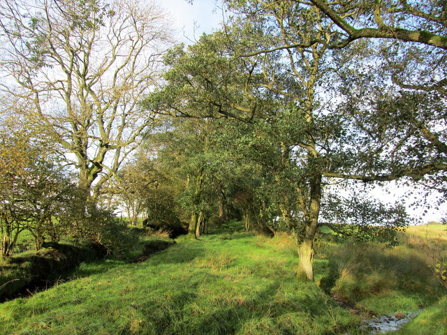
The moorland of Higher Houses Moor is defined by its rolling hills, heather-covered expanses, and scattered patches of woodland. The area boasts a rich variety of flora and fauna, making it a haven for nature enthusiasts and wildlife lovers. Visitors can spot a plethora of bird species, including the iconic red grouse, as well as mammals such as hares and roe deer.
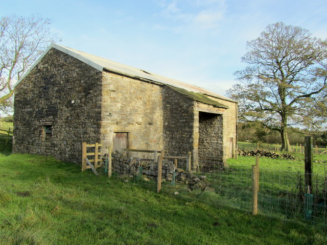
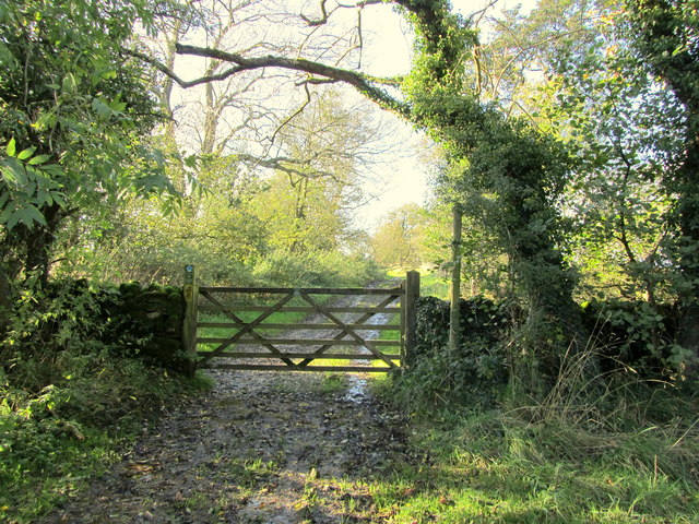
The landscape of Higher Houses Moor is dominated by its rugged terrain and dramatic vistas. As visitors explore the area, they will come across numerous walking trails and footpaths that offer breathtaking views of the surrounding countryside. The moorland is also home to several ancient archaeological sites, including burial mounds and stone circles, providing a glimpse into the area's rich history.
The climate of Higher Houses Moor is typical of the Yorkshire region, with mild summers and cool winters. The moorland is often subject to unpredictable weather conditions, including fog and strong winds, which only add to its wild and untamed charm.
Overall, Higher Houses Moor is a captivating destination for those seeking to immerse themselves in the beauty of Yorkshire's moorland landscapes. Its stunning vistas, diverse wildlife, and rich history make it a must-visit location for nature enthusiasts and history buffs alike.
If you have any feedback on the listing, please let us know in the comments section below.
Higher Houses Moor Images
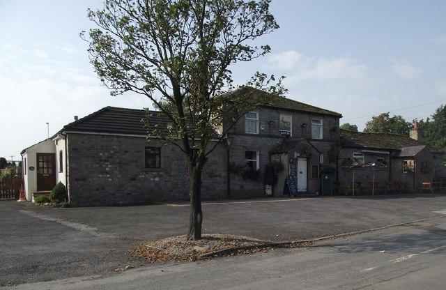
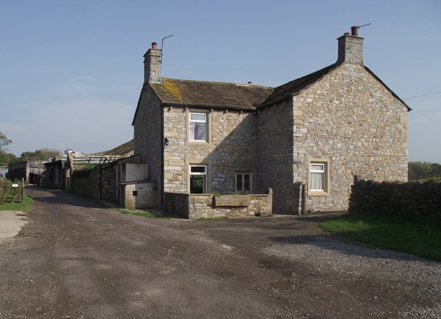
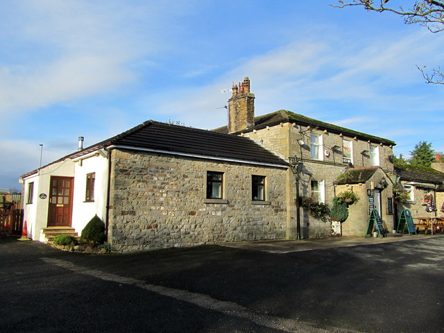
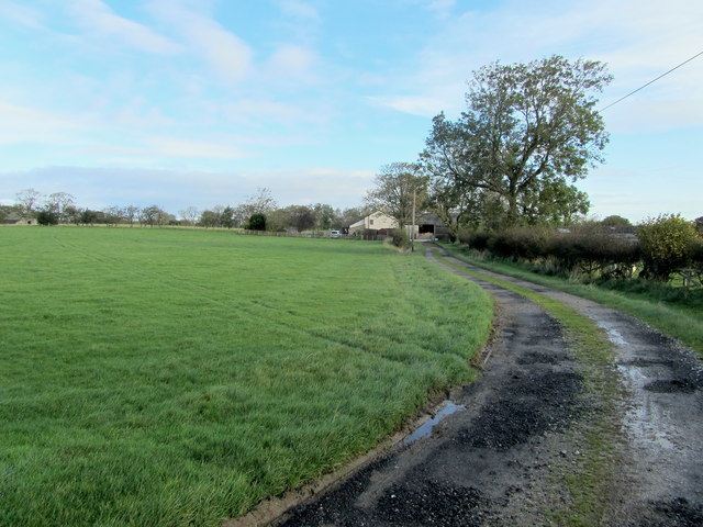
Images are sourced within 2km of 53.970064/-2.2835988 or Grid Reference SD8152. Thanks to Geograph Open Source API. All images are credited.

Higher Houses Moor is located at Grid Ref: SD8152 (Lat: 53.970064, Lng: -2.2835988)
Division: West Riding
Administrative County: Lancashire
District: Ribble Valley
Police Authority: Lancashire
What 3 Words
///epidemics.crossword.nourished. Near Hellifield, North Yorkshire
Nearby Locations
Related Wikis

Paythorne
Paythorne is a small village and civil parish in Ribble Valley, Lancashire, England. It is situated alongside the River Ribble, north-east of Clitheroe...

Newsholme railway station
Newsholme railway station was a railway station that served the small village of Newsholme in Lancashire. It was built by the Lancashire and Yorkshire...

Newsholme, Lancashire
Newsholme is a small village and civil parish in the Ribble Valley, Lancashire, England, but lies within the historic West Riding of Yorkshire. According...

Stock Beck
Stock Beck is a minor river in the West Craven area of Pendle, Lancashire (formerly in Yorkshire). It is 8.25 miles (13.27 km) long and has a catchment...

Halton West
Halton West is a village and civil parish in the Craven district of North Yorkshire, England. North Yorkshire County Council estimated the population in...

Gisburne Park
Gisburne Park is an 18th-century country house and associated park in Gisburn, Lancashire, England, in the Ribble Valley some 6 miles (10 km) north-east...

Manor House, Gisburn Forest
Manor House is an historic building in Gisburn Forest, Lancashire, England. It was built in the early 18th century, but contains a section that is believed...

Gisburn railway station
Gisburn railway station served the small village of Gisburn, which is now in Lancashire, England, but was in the West Riding of Yorkshire at the time....
Nearby Amenities
Located within 500m of 53.970064,-2.2835988Have you been to Higher Houses Moor?
Leave your review of Higher Houses Moor below (or comments, questions and feedback).