South Down
Downs, Moorland in Dorset
England
South Down
South Down, located in Dorset, England, is a vast and picturesque area known for its stunning downs and moorland landscapes. Stretching across the southern part of the county, it offers a diverse range of natural beauty and is a popular destination for outdoor enthusiasts and nature lovers.
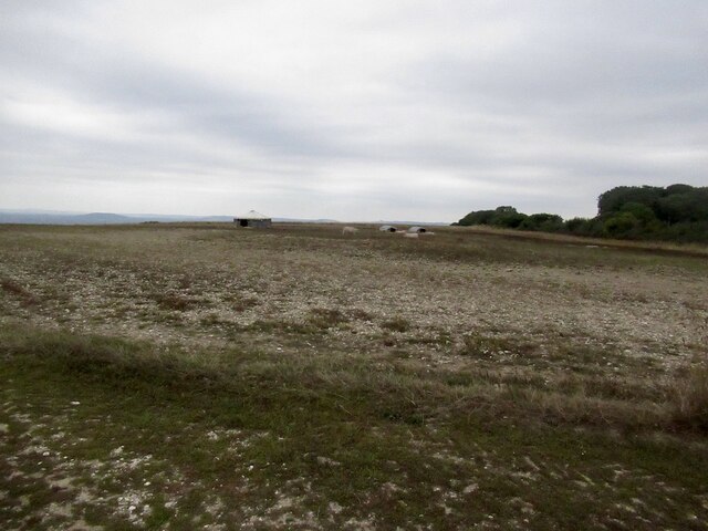
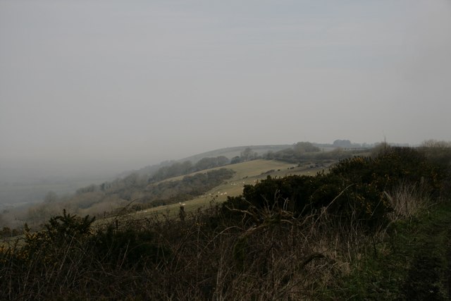
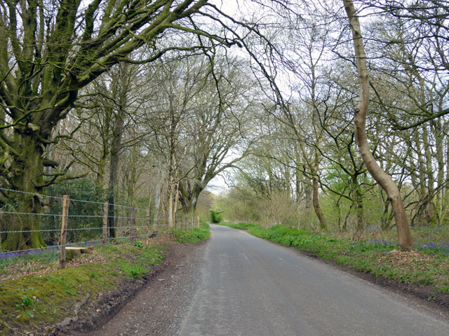
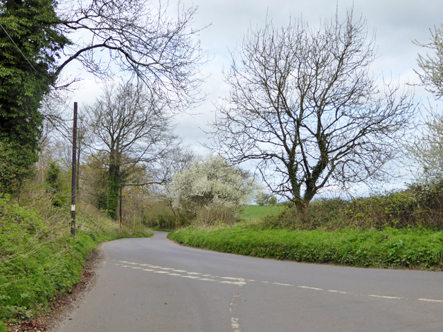
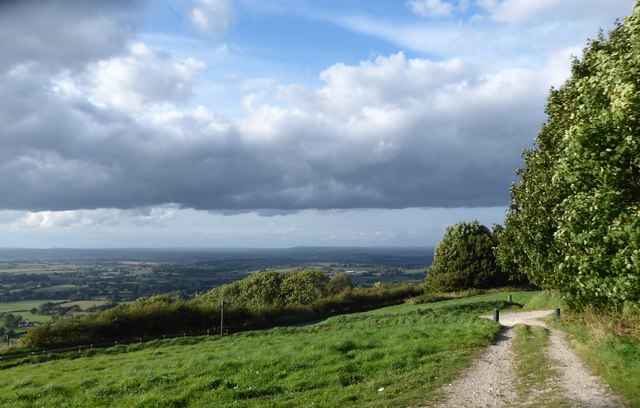
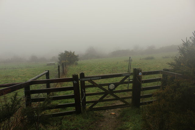
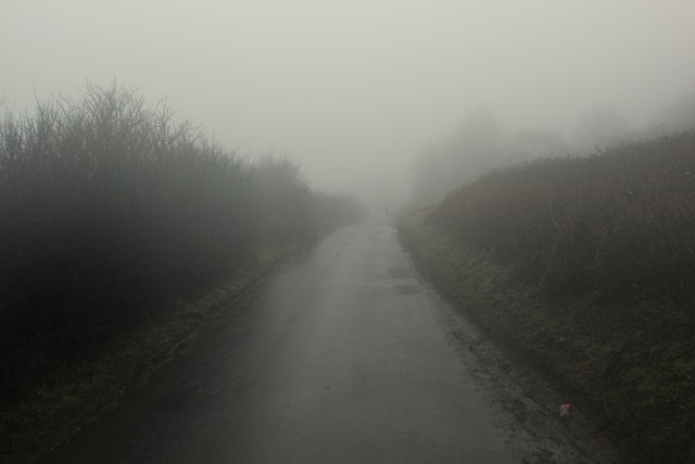
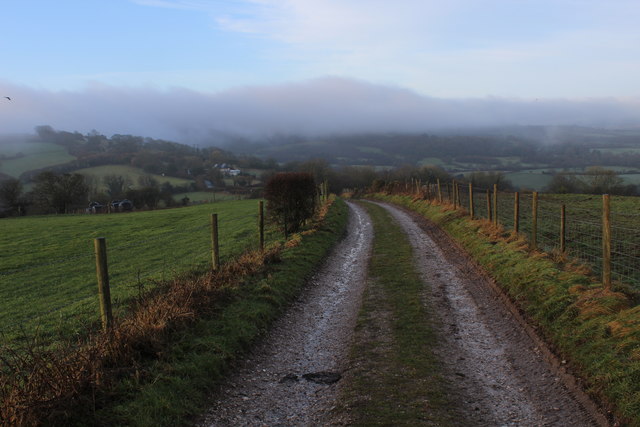
The downs in South Down are characterized by their rolling hills and expansive grasslands, providing breathtaking panoramic views of the surrounding countryside. The area is rich in biodiversity, with a variety of plant and animal species thriving in the open grassy slopes. Visitors can enjoy leisurely walks or hikes along the numerous trails that crisscross the downs, immersing themselves in the tranquil ambiance of the countryside.
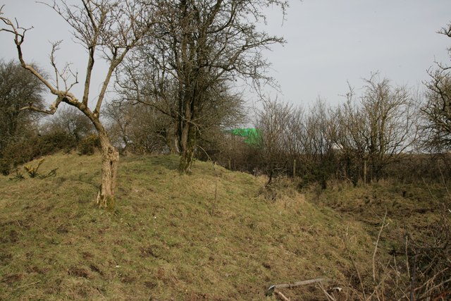
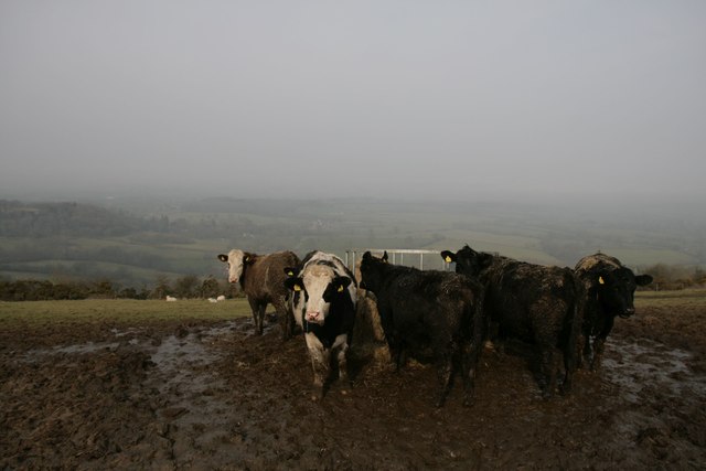
The moorland, on the other hand, adds a different dimension to South Down's natural wonders. Blanketed by heather and gorse, the moors create a rugged and wild atmosphere. The climate here is often harsher, with strong winds blowing across the open expanse. This unique environment supports a range of wildlife, including birds of prey, such as kestrels and buzzards, and rare species like the Dartford warbler.
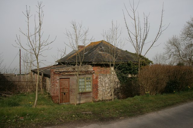
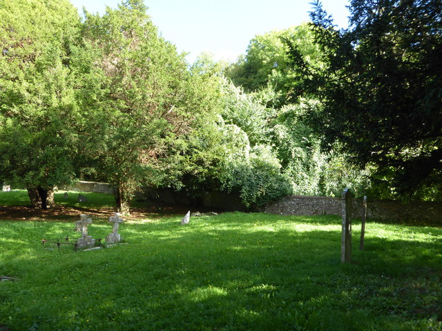
South Down is also home to several quaint villages, each with its own charm and character. These villages offer a glimpse into rural life, with their traditional thatched-roof cottages and historic landmarks. Visitors can explore local pubs, shops, and galleries, experiencing the warm hospitality of the local community.
In conclusion, South Down, Dorset, is a remarkable area boasting both downs and moorland, offering visitors a chance to immerse themselves in the beauty of the countryside, explore diverse ecosystems, and experience the timeless charm of traditional English villages.
If you have any feedback on the listing, please let us know in the comments section below.
South Down Images
Images are sourced within 2km of 50.859647/-2.2790354 or Grid Reference ST8006. Thanks to Geograph Open Source API. All images are credited.


South Down is located at Grid Ref: ST8006 (Lat: 50.859647, Lng: -2.2790354)
Unitary Authority: Dorset
Police Authority: Dorset
What 3 Words
///briskly.deriving.elder. Near Shillingstone, Dorset
Nearby Locations
Related Wikis

Bell Hill, Dorset
At 258 metres, Bell Hill is one of the highest hills in the county of Dorset, England and a high point on the Wessex Ridgeway. == Location == Bell Hill...

Church of St Eustace, Ibberton
The Parish Church of St Eustace is a Grade II* listed Anglican church in the village of Ibberton, Dorset. It stands to the south of the village, on a steep...

Turnworth
Turnworth is a small village and civil parish in north Dorset, England, situated on the Dorset Downs five miles (eight kilometres) west of Blandford Forum...

Ringmoor
The Ringmoor settlement is an Iron Age/Romano-British farming settlement in Dorset, England. It is between the villages of Okeford Fitzpaine and Turnworth...

Ibberton
Ibberton is a village and civil parish in the county of Dorset in southern England. It is situated in the Blackmore Vale under the scarp face of the Dorset...

Delcombe Manor
Delcombe Manor is a Grade II*-listed manor in Milton Abbas, Dorset, England. == History == The manor was built circa 1750 using flint and stone from Milton...

Belchalwell Street
Belchalwell Street is a village in Dorset, England, at the foot of Bell Hill, generally included in the village of Belchalwell. == External links == Belchalwell

Winterborne Houghton
Winterborne Houghton is a village and civil parish in north Dorset, England. It is situated in a winterbourne valley on the Dorset Downs, five miles (eight...
Related Videos
Top of Dorset
Top of Dorset.

Trig Point fun
Climbing a trig point.

Hard 75 day 73
Shorts #Discipline #NearlyFinished.

Find peace with us in Dorset
DORSET COUNTRY HOUSE RETREAT is here, we are back at beautiful Springfield for our luxury weekend of yoga and sound ...
Nearby Amenities
Located within 500m of 50.859647,-2.2790354Have you been to South Down?
Leave your review of South Down below (or comments, questions and feedback).