Ibberton Long Down
Downs, Moorland in Dorset
England
Ibberton Long Down
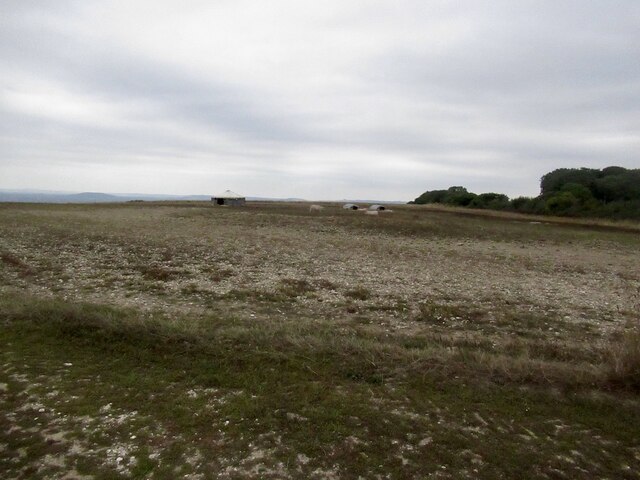
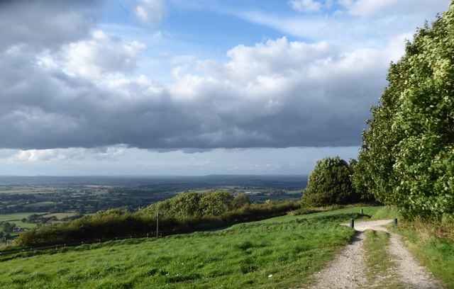
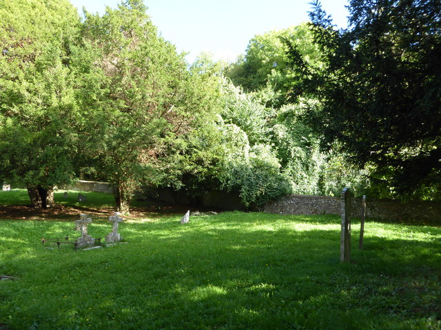
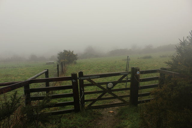
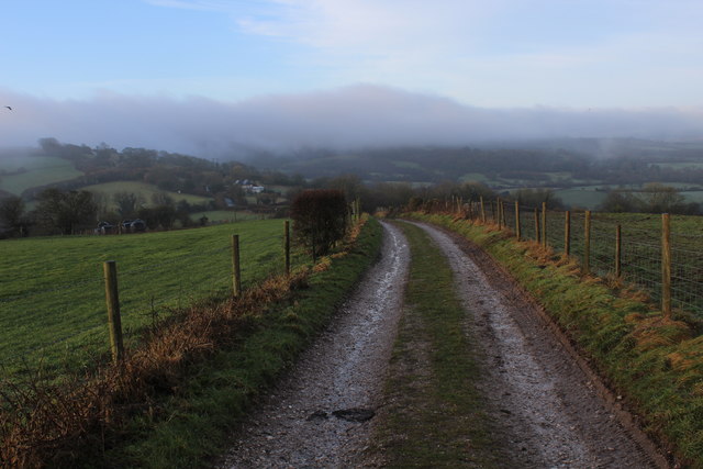
Ibberton Long Down is a picturesque area located in Dorset, England. This beautiful landscape is characterized by its rolling hills, wide open spaces, and stunning views. Covering an area of approximately 2,000 acres, Ibberton Long Down is part of the larger Dorset Downs and is known for its diverse flora and fauna.
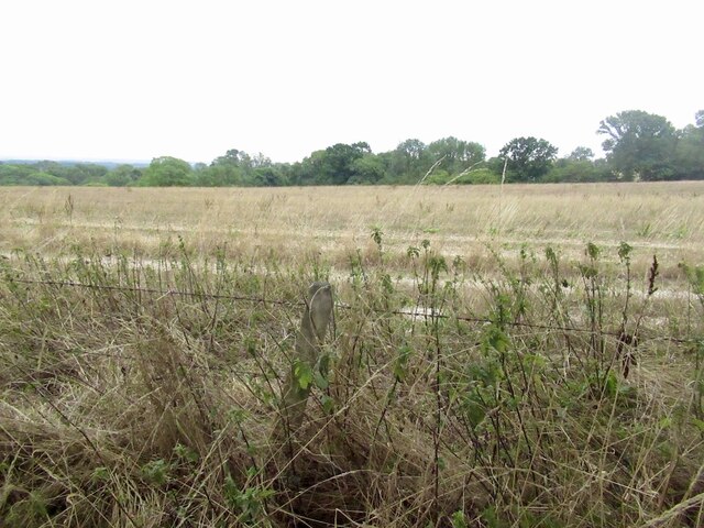
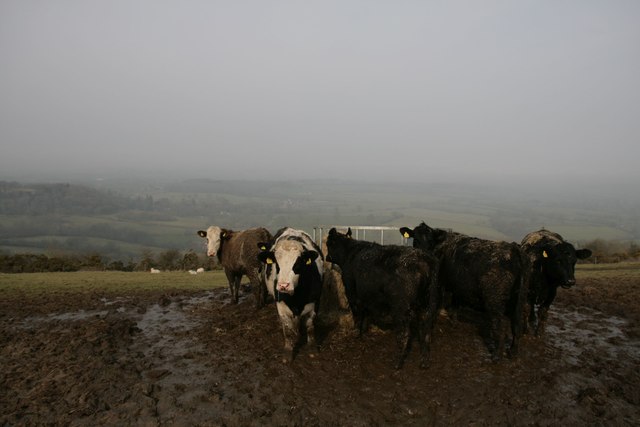
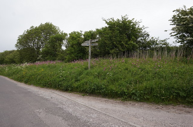
The downs are primarily made up of chalk grassland, which is home to a wide range of plant species. Visitors to Ibberton Long Down can expect to see an array of colorful wildflowers, including orchids, harebells, and cowslips. The area also supports a variety of bird species, such as skylarks and meadow pipits, making it a popular spot for birdwatching enthusiasts.
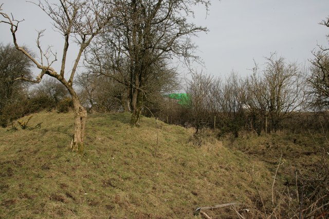
One of the unique features of Ibberton Long Down is its ancient earthworks. These ancient forts, known as hillforts, were constructed during the Iron Age and provide a glimpse into the area's rich history. The most prominent hillfort in the area is Rawlsbury Camp, which offers panoramic views of the surrounding countryside.
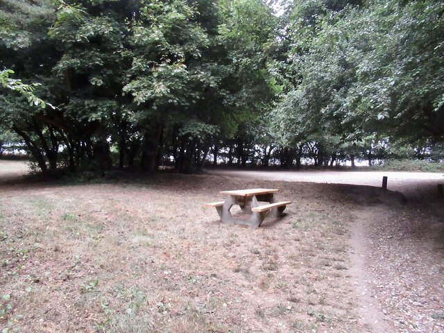
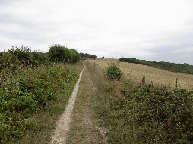
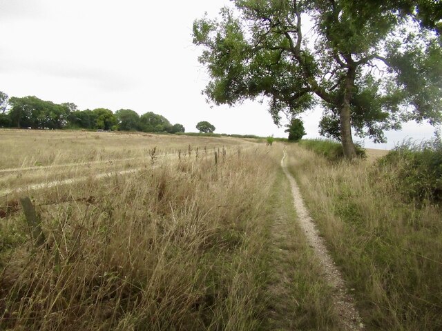
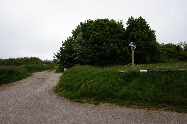
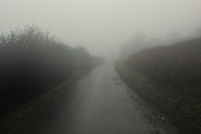
Outdoor enthusiasts will also appreciate the many walking and hiking trails that crisscross Ibberton Long Down. These trails provide an opportunity to explore the area's natural beauty and take in the breathtaking vistas. On a clear day, visitors can see as far as the Isle of Wight from certain vantage points.
Overall, Ibberton Long Down is a tranquil and unspoiled area that offers a wealth of natural beauty and historical significance. Whether it's enjoying a leisurely walk, observing wildlife, or learning about the region's past, there is something for everyone to appreciate in this stunning part of Dorset.
If you have any feedback on the listing, please let us know in the comments section below.
Ibberton Long Down Images
Images are sourced within 2km of 50.867571/-2.2820669 or Grid Reference ST8007. Thanks to Geograph Open Source API. All images are credited.
Ibberton Long Down is located at Grid Ref: ST8007 (Lat: 50.867571, Lng: -2.2820669)
Unitary Authority: Dorset
Police Authority: Dorset
What 3 Words
///wildfires.bubble.stuffing. Near Shillingstone, Dorset
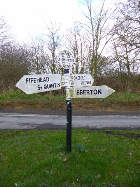
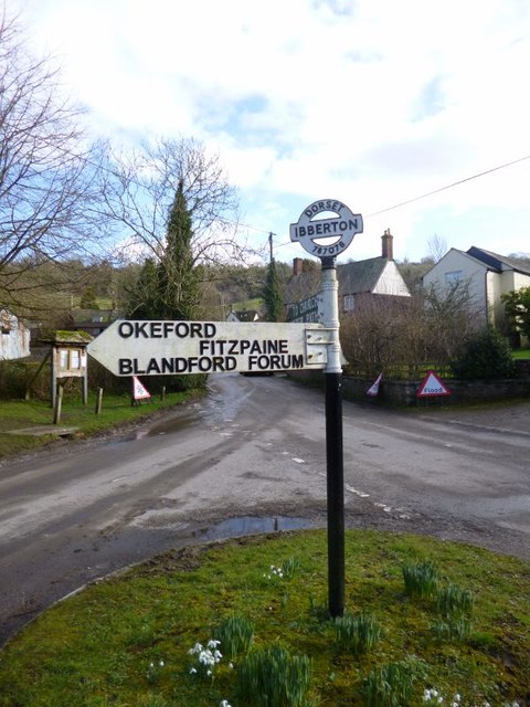
Nearby Locations
Related Wikis

Bell Hill, Dorset
At 258 metres, Bell Hill is one of the highest hills in the county of Dorset, England and a high point on the Wessex Ridgeway. == Location == Bell Hill...

Ringmoor
The Ringmoor settlement is an Iron Age/Romano-British farming settlement in Dorset, England. It is between the villages of Okeford Fitzpaine and Turnworth...

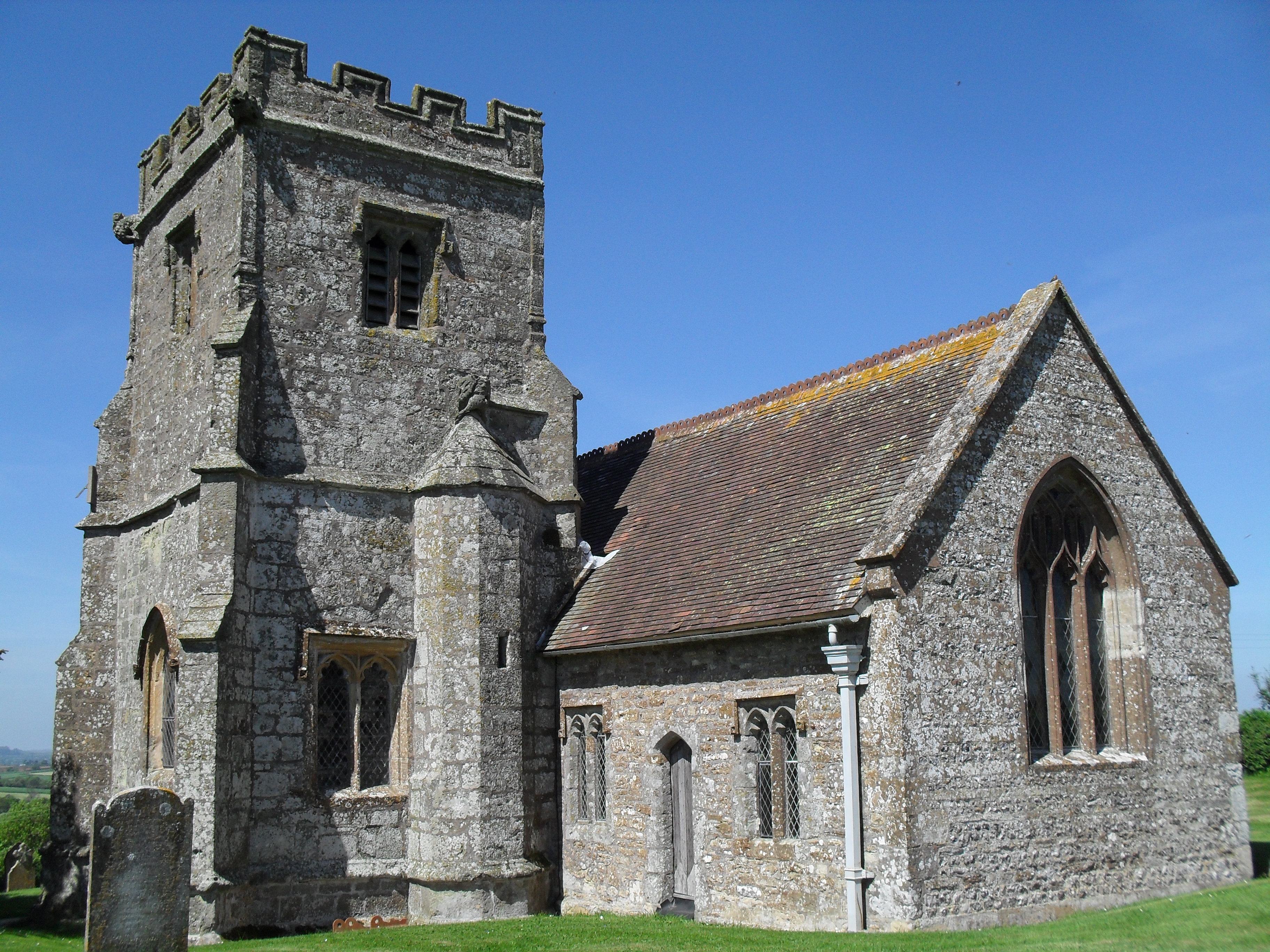
Church of St Eustace, Ibberton
The Parish Church of St Eustace is a Grade II* listed Anglican church in the village of Ibberton, Dorset. It stands to the south of the village, on a steep...

Belchalwell Street
Belchalwell Street is a village in Dorset, England, at the foot of Bell Hill, generally included in the village of Belchalwell. == External links == Belchalwell

Ibberton
Ibberton is a village and civil parish in the county of Dorset in southern England. It is situated in the Blackmore Vale under the scarp face of the Dorset...

Turnworth
Turnworth is a small village and civil parish in north Dorset, England, situated on the Dorset Downs five miles (eight kilometres) west of Blandford Forum...

St Aldhelm's Church, Belchalwell
St Aldhelm's Church is a Grade II* listed Anglican church in the village of Belchalwell, Dorset. It is in the ecclesiastical parish of Belchalwell, which...
Belchalwell
Belchalwell is a small village and former civil parish, now in the parish of Okeford Fitzpaine in the Blackmore Vale, in the Dorset district, in the ceremonial...
Related Videos

Trig Point fun
Climbing a trig point.


Top of Dorset
Top of Dorset.
Nearby Amenities
Located within 500m of 50.867571,-2.2820669Have you been to Ibberton Long Down?
Leave your review of Ibberton Long Down below (or comments, questions and feedback).