Calf Moss
Downs, Moorland in Yorkshire Richmondshire
England
Calf Moss

Calf Moss is a small village situated in the picturesque region of Yorkshire, England. Nestled within the Yorkshire Downs and Moorland, the village is renowned for its stunning natural beauty and tranquil atmosphere.
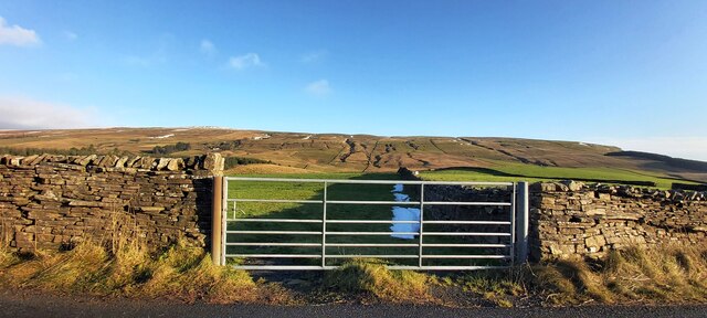
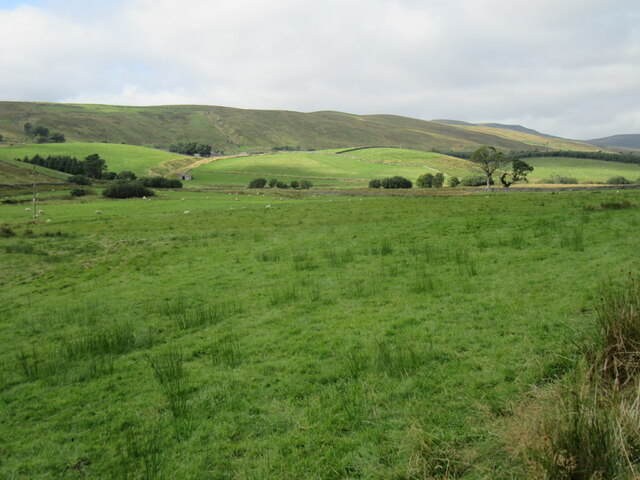
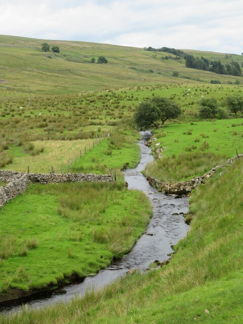
Surrounded by rolling hills and lush green pastures, Calf Moss offers breathtaking views of the surrounding countryside. The area is characterized by its diverse flora and fauna, making it an ideal destination for nature enthusiasts and hikers. The nearby moorland provides ample opportunities for outdoor activities, such as walking, cycling, and birdwatching.
The village itself is a charming and close-knit community, with a population of around 200 residents. The local architecture is predominantly traditional, with stone-built houses and quaint cottages adding to the village's rustic charm. A small, welcoming pub serves as the social hub, offering a cozy atmosphere and a selection of local ales.
Calf Moss is also known for its agricultural heritage, with many residents involved in farming activities. The village is dotted with picturesque farms, where visitors can witness the traditional farming practices that have shaped the landscape for generations.
Despite its rural location, Calf Moss is conveniently situated within easy reach of nearby towns and cities. The vibrant city of Leeds is just a short drive away, offering a wide range of amenities, shopping opportunities, and cultural attractions.
Overall, Calf Moss is a hidden gem in the heart of Yorkshire. Its idyllic surroundings, friendly community, and rich natural heritage make it an ideal destination for those seeking a peaceful retreat or a taste of authentic rural England.
If you have any feedback on the listing, please let us know in the comments section below.
Calf Moss Images
Images are sourced within 2km of 54.35104/-2.3096802 or Grid Reference SD7995. Thanks to Geograph Open Source API. All images are credited.


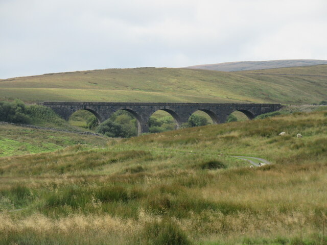


![Low West End This could be described as the last [or first] farm in Wensleydale, but then there's some dispute as to whether Wensleydale extends 'round the corner' from the Moorcock to the watershed.](https://s0.geograph.org.uk/geophotos/07/55/91/7559164_a39f1a62.jpg)

Calf Moss is located at Grid Ref: SD7995 (Lat: 54.35104, Lng: -2.3096802)
Division: North Riding
Administrative County: North Yorkshire
District: Richmondshire
Police Authority: North Yorkshire
What 3 Words
///dried.questions.harnessed. Near Kirkby Stephen, Cumbria
Nearby Locations
Related Wikis

Lunds, North Yorkshire
Lunds is a hamlet in North Yorkshire, England, near to the watershed of the Eden and Ure rivers. It is on the border between Cumbria and North Yorkshire...
Hawes Junction rail crash
The Hawes Junction rail crash occurred at 5.49 am on 24 December 1910, just north of Lunds Viaduct between Hawes Junction (now known as Garsdale station...
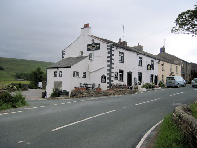
Moorcock Inn
The Moorcock Inn is a public house at the watershed of the Eden, Clough and Ure rivers, in Upper Wensleydale, North Yorkshire, England. It is adjacent...

Aisgill
Aisgill is the southernmost of the hamlets that form the parish of Mallerstang in the English county of Cumbria. It is on the B6259 road, at the head of...

Eden Sike Cave
Eden Sike Cave is a small cave in Mallerstang in the Eden valley in Cumbria, England 400 metres (440 yd) north of Hell Gill. The entrance is 391 metres...

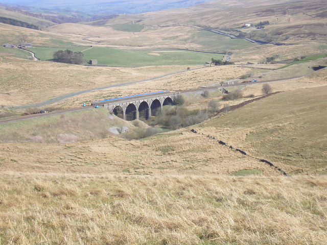
Dandry Mire Viaduct
Dandry Mire Viaduct, (or Dandrymire Viaduct), is a railway viaduct on the Settle & Carlisle line in Cumbria, England. It is just north of Garsdale station...

Grisedale
Grisedale (sometimes Grisdale, or Grizedale [archaic]) is a south east facing Dale in Cumbria, England, 8 miles (13 km) east of Sedbergh, and 7 miles...

1913 Ais Gill rail accident
The Ais Gill rail accident occurred on the Settle–Carlisle line in Northwest England on 2 September 1913. Two long trains were both ascending a steep gradient...
Nearby Amenities
Located within 500m of 54.35104,-2.3096802Have you been to Calf Moss?
Leave your review of Calf Moss below (or comments, questions and feedback).