Hapsford

Settlement in Cheshire

England

Hapsford

Chester Services Late evening and starting to get dark we stopped a break having been travelling since about 9 o'clock in a car or on a ferry.
Chester Services Credit: Malcolm Neal

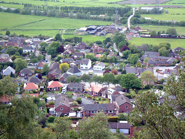
Hapsford is a small village located in the county of Cheshire, in the northwest region of England. Situated approximately 5 miles southeast of the town of Ellesmere Port, Hapsford is nestled in the picturesque countryside and is known for its tranquil and idyllic setting.

With a population of around 400 residents, Hapsford exudes a charming and close-knit community atmosphere. The village is primarily residential, consisting of traditional stone-built houses and cottages that add to its quaint appeal. Surrounding the village, lush green fields and rolling hills create a scenic backdrop.

Hapsford benefits from its proximity to major transport links, making it an attractive location for commuters. The M56 motorway is just a short distance away, providing easy access to nearby towns and cities. The village also benefits from a railway station in the neighboring village of Ince & Elton, offering regular services to destinations including Chester, Manchester, and Liverpool.

Despite its small size, Hapsford boasts a few amenities for its residents. The village has a local pub, which serves as a popular meeting place for locals and visitors alike. Additionally, there are several community groups and organizations that provide opportunities for socializing and engagement within the village.

Surrounded by natural beauty, Hapsford offers various outdoor activities for nature enthusiasts. The village is close to the Delamere Forest, a popular destination for hiking, cycling, and wildlife spotting. The nearby River Weaver also offers opportunities for boating and fishing.

Overall, Hapsford is a charming and peaceful village with a strong sense of community, offering a delightful countryside retreat for its residents.

If you have any feedback on the listing, please let us know in the comments section below.
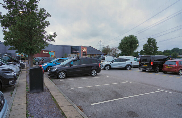
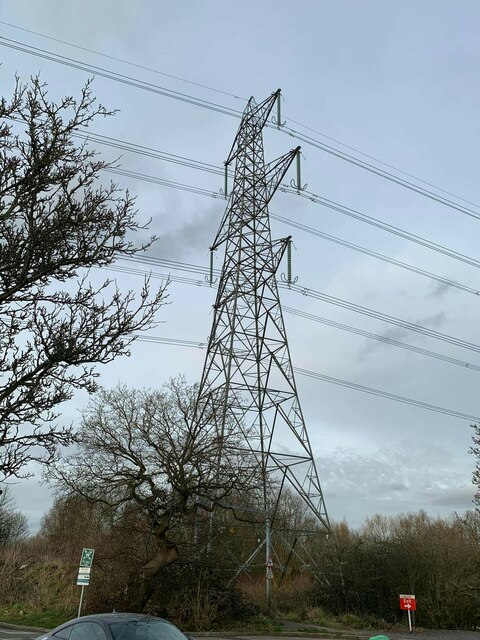
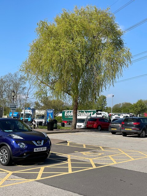
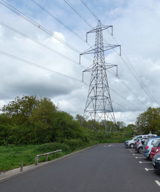
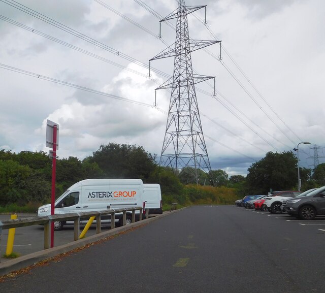
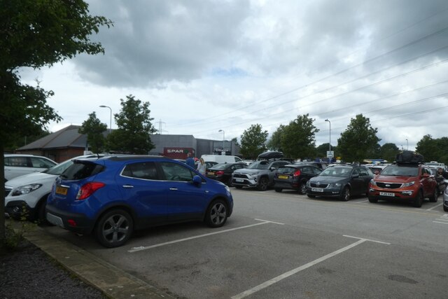
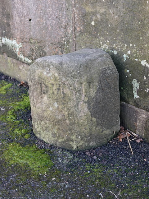
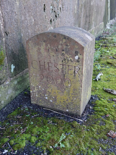
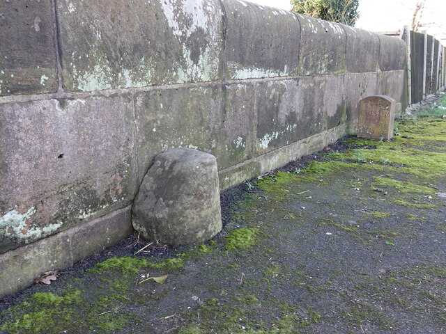
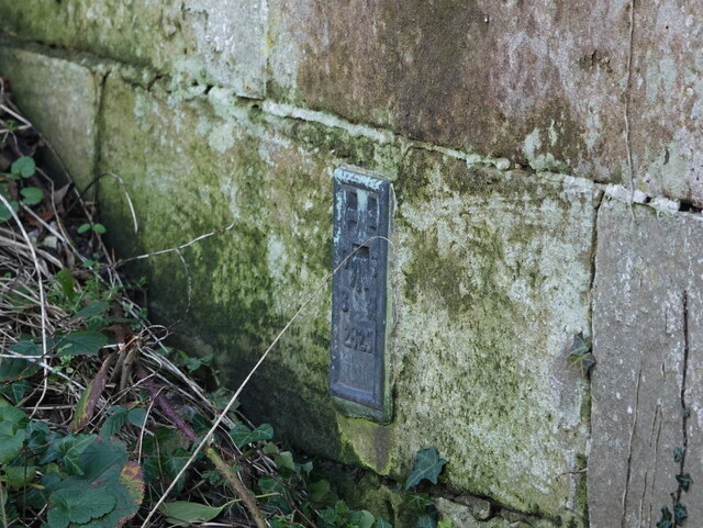
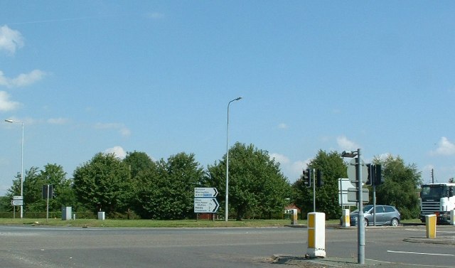
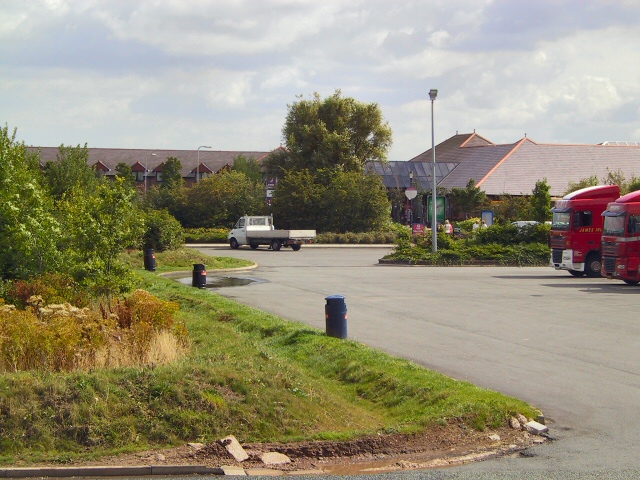
Hapsford Images

Images are sourced within 2km of 53.263367/-2.7909182 or Grid Reference SJ4774. Thanks to Geograph Open Source API. All images are credited.

Chester Services Late evening and starting to get dark we stopped a break having been travelling since about 9 o'clock in a car or on a ferry.
Chester Services
Late evening and starting to get dark we stopped a break having been travelling since about 9 o'clock in a car or on a ferry.
Large warehouse, Helsby
Heat Trace
Heat Trace
Electricity pylon at Chester services, Hapsford
Spring tree in the car park At Chester Services on the M56
Spring tree in the car park
At Chester Services on the M56
Pylons at Chester Services
Chester Services
Chester Services
Chester Services Looking across the car park at the services at Hopsford Interchange.
Chester Services
Looking across the car park at the services at Hopsford Interchange.
Self service ordering McDonalds self ordering stations at the motorway services.
Self service ordering
McDonalds self ordering stations at the motorway services.
Old Milepost by the A56, Chester Road, Helsby Cast iron post by the A56, Chester Road in the parish of Helsby, on the verge, on East side of road. Cast iron CCC1898, erected by the County Council in the 19th century. For a wider view see <a href="https://www.geograph.org.uk/photo/7686563">SJ4875 : Old Milepost by the A56, Chester Road, Helsby</a>

Inscription reads:-
: DUNHAM HILL / 2 MILES / CHESTER 8 : : CHESHIRE / 1898 / COUNTY COUNCIL : : FRODSHAM / 3 MILES / WARRINGTON 12 :
Maker:-
: W H SMITH & CO / MAKER / WHITCHURCH :

Milestone Society National ID: CH_CHWA08
Old Milepost by the A56, Chester Road, Helsby
Cast iron post by the A56, Chester Road in the parish of Helsby, on the verge, on East side of road. Cast iron CCC1898, erected by the County Council in the 19th century. For a wider view see SJ4875 : Old Milepost by the A56, Chester Road, Helsby Inscription reads:- : DUNHAM HILL / 2 MILES / CHESTER 8 : : CHESHIRE / 1898 / COUNTY COUNCIL : : FRODSHAM / 3 MILES / WARRINGTON 12 : Maker:- : W H SMITH & CO / MAKER / WHITCHURCH : Milestone Society National ID: CH_CHWA08
Old Milepost by the A56, Chester Road, Helsby Looking south along the A56, Chester Road, Helsby, by the cast iron milepost erected by Cheshire County Council in the 19th century.

See: <a href="https://www.geograph.org.uk/photo/7686551">SJ4875 : Old Milepost by the A56, Chester Road, Helsby</a>

Milestone Society National ID: CH_CHWA08
Old Milepost by the A56, Chester Road, Helsby
Looking south along the A56, Chester Road, Helsby, by the cast iron milepost erected by Cheshire County Council in the 19th century. See: SJ4875 : Old Milepost by the A56, Chester Road, Helsby Milestone Society National ID: CH_CHWA08
Boundary stone on Horn's Mill Bridge, Dunham-on-the-Hill An old boundary stone in the middle of the bridge that carries the A56 over Peckmill Brook/Hornsmill Brook. The west side of the stone seems to be inscribed 'DUNHAM', but the east side is damaged and doesn't seem to be inscribed. Although modern maps show the West side is in Dunham on the Hill and Hapsford and the East side is now in Helsby (since 1936)... so the east side would have been in Alvanley. 

There is also a more modern 'CHESTER 2000' boundary stone a few metres to the west <a href="https://www.geograph.org.uk/photo/7686762">SJ4874 : Modern boundary stone on Horn's Mill Bridge, Dunham-on-the-Hill</a>

Milestone Society National ID: CH_DUHAHE01pb
Boundary stone on Horn's Mill Bridge, Dunham-on-the-Hill
An old boundary stone in the middle of the bridge that carries the A56 over Peckmill Brook/Hornsmill Brook. The west side of the stone seems to be inscribed 'DUNHAM', but the east side is damaged and doesn't seem to be inscribed. Although modern maps show the West side is in Dunham on the Hill and Hapsford and the East side is now in Helsby (since 1936)... so the east side would have been in Alvanley. There is also a more modern 'CHESTER 2000' boundary stone a few metres to the west SJ4874 : Modern boundary stone on Horn's Mill Bridge, Dunham-on-the-Hill Milestone Society National ID: CH_DUHAHE01pb
Modern boundary stone on Horn's Mill Bridge, Dunham-on-the-Hill A modern boundary stone on the west side  of the bridge that carries the A56 over Peckmill Brook/Hornsmill Brook. The inscription reads 'CHESTER 2000', so presumably it is to commemorate the millennium. This stone is a few metres to the west of the old boundary stone <a href="https://www.geograph.org.uk/photo/7686760">SJ4874 : Boundary stone on Horn's Mill Bridge, Dunham-on-the-Hill</a> so isn't actually on the boundary, which is the centre of the brook.

Milestone Society National ID: CH_DUNHAP01cm
Modern boundary stone on Horn's Mill Bridge, Dunham-on-the-Hill
A modern boundary stone on the west side of the bridge that carries the A56 over Peckmill Brook/Hornsmill Brook. The inscription reads 'CHESTER 2000', so presumably it is to commemorate the millennium. This stone is a few metres to the west of the old boundary stone SJ4874 : Boundary stone on Horn's Mill Bridge, Dunham-on-the-Hill so isn't actually on the boundary, which is the centre of the brook. Milestone Society National ID: CH_DUNHAP01cm
Two boundary stones on Horn's Mill Bridge, Dunham-on-the-Hill There are two boundary stones on Horn's Mill Bridge, Dunham-on-the-Hill - one old <a href="https://www.geograph.org.uk/photo/7686760">SJ4874 : Boundary stone on Horn's Mill Bridge, Dunham-on-the-Hill</a> and one modern <a href="https://www.geograph.org.uk/photo/7686762">SJ4874 : Modern boundary stone on Horn's Mill Bridge, Dunham-on-the-Hill</a>
Two boundary stones on Horn's Mill Bridge, Dunham-on-the-Hill
There are two boundary stones on Horn's Mill Bridge, Dunham-on-the-Hill - one old SJ4874 : Boundary stone on Horn's Mill Bridge, Dunham-on-the-Hill and one modern SJ4874 : Modern boundary stone on Horn's Mill Bridge, Dunham-on-the-Hill
Flush bracket 2825 on Horn's Mill Bridge, Dunham-on-the-Hill Flush bracket 2825 is on the south face of Horn's Mill Bridge, so is only visible from the field and across Peckmill Brook. The bridge carries the A56 Chester road across the brook.

Benchmark Database: <span class="nowrap"><a title="https://www.bench-marks.org.uk/bm2018" rel="nofollow ugc noopener" href="https://www.bench-marks.org.uk/bm2018">Link</a><img style="margin-left:2px;" alt="External link" title="External link - shift click to open in new window" src="https://s1.geograph.org.uk/img/external.png" width="10" height="10"/></span>
Flush bracket 2825 on Horn's Mill Bridge, Dunham-on-the-Hill
Flush bracket 2825 is on the south face of Horn's Mill Bridge, so is only visible from the field and across Peckmill Brook. The bridge carries the A56 Chester road across the brook. Benchmark Database: LinkExternal link
Helsby Sports and Social Club On the A56 at Helsby, and overlooked by Helsby Hill
Helsby Sports and Social Club
On the A56 at Helsby, and overlooked by Helsby Hill
Elton Green Elton Green taken from the junction with Cryers Lane and the A5117
Elton Green
Elton Green taken from the junction with Cryers Lane and the A5117
Chester Services The service station buildings on the M56 outside Chester.
Chester Services
The service station buildings on the M56 outside Chester.
Show me another place!

Hapsford is located at Grid Ref: SJ4774 (Lat: 53.263367, Lng: -2.7909182)

Unitary Authority: Cheshire West and Chester

Police Authority: Cheshire

What 3 Words

///they.orders.elsewhere. Near Elton, Cheshire

Nearby Locations

Hapsford

Related Wikis

Hapsford Hall

Hapsford Hall is a country house about 1 mile (1.6 km) south-west of Helsby, Cheshire, England. It was built in the late 18th or early 19th century and...

Hapsford

Hapsford is a village and former civil parish, now in the parish of Dunham-on-the-Hill and Hapsford, in the unitary authority area of Cheshire West and...

Chester services

Chester services is a motorway service area on the M56 motorway in Cheshire, England. The site is approximately 10 mi (16 km) from Chester city centre...

St Luke's Church, Dunham on the Hill

St Luke's Church is in the village of Dunham on the Hill, Cheshire, England. It is an active Anglican parish church in the deanery of Frodsham, the archdeaconry...

Helsby and Alvanley railway station

Helsby and Alvanley railway station was one of two railway stations serving the village of Helsby in Cheshire. The station was the terminus of the Helsby...

Dunham Hill railway station

Dunham Hill railway station was a railway station in Dunham-on-the-Hill, Cheshire. It was opened in 1850 and closed in 1952. Near to the station was a...

Helsby

Helsby is a village, civil parish and electoral ward in the unitary authority of Cheshire West and Chester and the ceremonial county of Cheshire, England...

Dunham-on-the-Hill

Dunham-on-the-Hill is a village and former civil parish, now in the parish of Dunham-on-the-Hill and Hapsford, in the unitary authority of Cheshire West...

Nearby Amenities

Located within 500m of 53.263367,-2.7909182
Hapsford
Place: hamlet
Lat/Long: 53.2641719/-2.790562
Bus Stop
Hapsford, A5117 / Moor Lane
Bus: yes
Naptan AtcoCode: 0610CH1219
Naptan Bearing: SE
Naptan CommonName: Moor Lane
Naptan Crossing: Moor Lane
Naptan Indicator: opp
Naptan Landmark: Hapsford Hall
Naptan LocalityName: Hapsford
Naptan NaptanCode: chwdadm
Naptan ShortCommonName: Moor Lane
Naptan Street: A5117
Naptan Verified: no
Public Transport: platform
Public Transport Version: 2
Source: naptan_import
Lat/Long: 53.2632149/-2.7906178
Bus Stop
Hapsford, A5117 / Hapsford Lane
Bus: yes
Naptan AtcoCode: 0610CH1220
Naptan Bearing: NW
Naptan CommonName: Hapsford Lane
Naptan Crossing: Hapsford Lane
Naptan Indicator: cnr
Naptan Landmark: Manor Farm
Naptan LocalityName: Hapsford
Naptan NaptanCode: chwdadp
Naptan ShortCommonName: Hapsford Lane
Naptan Street: A5117
Naptan Verified: no
Public Transport: platform
Public Transport Version: 2
Source: naptan_import
Lat/Long: 53.2631224/-2.7914384
Post Box
Ref: WA6 288
Lat/Long: 53.2633168/-2.7907039
Crossing
Lat/Long: 53.2630856/-2.7894786
Crossing
Lat/Long: 53.2630066/-2.7889086
Crossing
Lat/Long: 53.2618529/-2.7849212
Crossing
Lat/Long: 53.263059/-2.7892862
The data included in this document is from www.openstreetmap.org. The data is made available under ODbL.

Have you been to Hapsford?

Leave your review of Hapsford below (or comments, questions and feedback).