Hanthorpe

Settlement in Lincolnshire South Kesteven

England

Hanthorpe

St.John the Baptist's church, Morton, Lincs. A grand cruciform church looking down on the village of Morton. Perpendicular tower, decorated chancel and south arcade, but the 4 bay north arcade is late 13th century Early English and has particularly good capitals.
St.John the Baptist's church, Morton, Lincs. Credit: Richard Croft

Hanthorpe is a small village situated in the county of Lincolnshire, England. Located approximately 7 miles south-east of the market town of Grantham, it lies within the South Kesteven district. Hanthorpe is a tranquil and picturesque village, known for its rural charm and beautiful surrounding countryside.

The village is home to a relatively small population, with around 300 residents. It boasts a close-knit and friendly community, where neighbors often come together for various social events and gatherings. The village is primarily residential, with a mix of traditional cottages and more modern houses, providing a diverse range of housing options.

Hanthorpe is surrounded by lush green fields, making it an ideal location for those seeking a peaceful and idyllic countryside setting. The village is well-connected to nearby towns and cities, with good road links, including the A1, which provides easy access to Grantham and other major cities in the region.

Despite its small size, Hanthorpe benefits from a number of amenities and facilities. These include a village hall, a primary school, and a pub, which serves as a central meeting point for locals. The village also has several footpaths and bridleways, allowing residents and visitors to explore the beautiful countryside on foot or horseback.

Overall, Hanthorpe offers a charming and quiet lifestyle within a close-knit community, surrounded by the natural beauty of the Lincolnshire countryside.

If you have any feedback on the listing, please let us know in the comments section below.
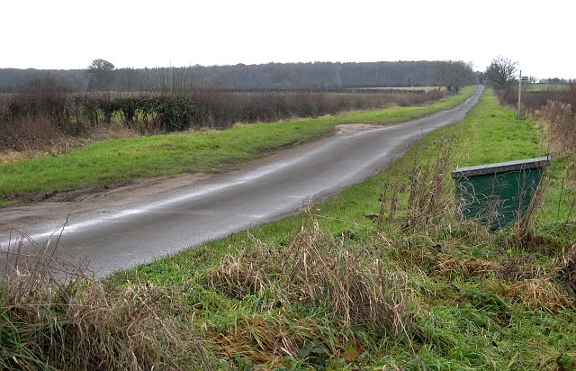
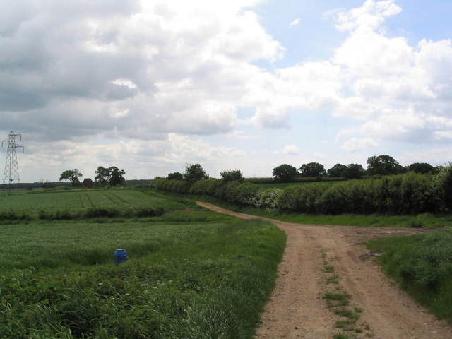
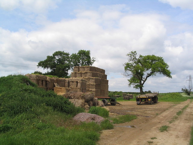
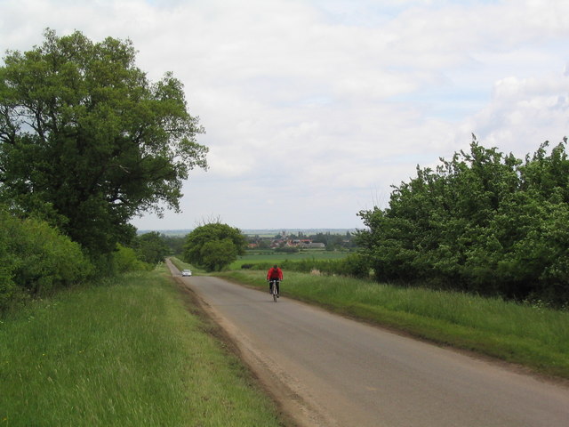
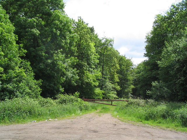
Hanthorpe Images

Images are sourced within 2km of 52.802627/-0.391998 or Grid Reference TF0824. Thanks to Geograph Open Source API. All images are credited.

St.John the Baptist's church, Morton, Lincs. A grand cruciform church looking down on the village of Morton. Perpendicular tower, decorated chancel and south arcade, but the 4 bay north arcade is late 13th century Early English and has particularly good capitals.
St.John the Baptist's church, Morton, Lincs.
A grand cruciform church looking down on the village of Morton. Perpendicular tower, decorated chancel and south arcade, but the 4 bay north arcade is late 13th century Early English and has particularly good capitals.
In the Woods Midday on Christmas Day 2005.  The weather was overcast and cold but not freezing.  This is Fox Wood, near Bourne.
In the Woods
Midday on Christmas Day 2005. The weather was overcast and cold but not freezing. This is Fox Wood, near Bourne.
Footpaths Everywhere Taken at a junction of footpaths between Fox Wood and Hanthorpe looking east over the grid square.
Footpaths Everywhere
Taken at a junction of footpaths between Fox Wood and Hanthorpe looking east over the grid square.
The Road West A minor road near Hanthorpe.
The Road West
A minor road near Hanthorpe.
Hanthorpe The farm building in the foreground is built of the local Jurassic limestone.
Hanthorpe
The farm building in the foreground is built of the local Jurassic limestone.
Morton Village On the junction with the A15 trunk road.
Morton Village
On the junction with the A15 trunk road.
An Overgrown Bus Shelter On the A15 road at the junction with the road to the village of Dyke.
An Overgrown Bus Shelter
On the A15 road at the junction with the road to the village of Dyke.
Quarry debitage in a field near Dyke
Footpath to Stainfield This footpath leads from the A15 to Stainfield.
Footpath to Stainfield
This footpath leads from the A15 to Stainfield.
Track south from Hangmans Lane
Straw bales on track south from Hangman's lane One of a number of bale 'deposits' on this track through barley fields. When will we find a way of using them for energy?
Straw bales on track south from Hangman's lane
One of a number of bale 'deposits' on this track through barley fields. When will we find a way of using them for energy?
The road to Hanthorpe A ridge of high ground (for Lincolnshire) between the valley of the East Glen river and the Fens affords good views and generally quiet cycling roads
The road to Hanthorpe
A ridge of high ground (for Lincolnshire) between the valley of the East Glen river and the Fens affords good views and generally quiet cycling roads
Entrance to Gunboro Wood One of many woods on the elevated ground bounding the west side of the Fens
Entrance to Gunboro Wood
One of many woods on the elevated ground bounding the west side of the Fens
Morton church Morton church on a sunny November afternoon
Morton church
Morton church on a sunny November afternoon
Stainfield Spa In 1720 a Dr Edward Greathead of Lincoln discovered the existence of mineral springs in the vicinity and a well house was built for the convenience of the many visitors, but nothing of this exists now apart from the name Spa Farm: a livery stable. The gap in the hedge is where the footpath exits onto the Kirky Underwood road.
Stainfield Spa
In 1720 a Dr Edward Greathead of Lincoln discovered the existence of mineral springs in the vicinity and a well house was built for the convenience of the many visitors, but nothing of this exists now apart from the name Spa Farm: a livery stable. The gap in the hedge is where the footpath exits onto the Kirky Underwood road.
Elsthorpe Road, Stainfield
Kirkby Underwood Road Looking towards Stainfield with Ringstone Wood to the left and Dunsby Wood straight ahead.
Kirkby Underwood Road
Looking towards Stainfield with Ringstone Wood to the left and Dunsby Wood straight ahead.
Stainfield Spa from the footpath access Standing on the stile on Kirkby Underwood Road.
Stainfield Spa from the footpath access
Standing on the stile on Kirkby Underwood Road.
Show me another place!

Hanthorpe is located at Grid Ref: TF0824 (Lat: 52.802627, Lng: -0.391998)

Division: Parts of Kesteven

Administrative County: Lincolnshire

District: South Kesteven

Police Authority: Lincolnshire

What 3 Words

///circle.regulates.crossings. Near Bourne, Lincolnshire

Nearby Locations

Hanthorpe

Related Wikis

Stainfield near Bourne

Stainfield is a hamlet in the South Kesteven district of Lincolnshire, England. It is 3 miles (5 km) north from Bourne and 1 mile (1.6 km) west from the...

Morton and Hanthorpe

Morton and Hanthorpe is a civil parish, formerly known as Morton by Bourne in the South Kesteven district of Lincolnshire, England. It is situated 2 miles...

Morton Road railway station

Morton Road railway station was a station serving the village of Morton, Lincolnshire on the Great Northern Railway Bourne and Sleaford railway. It opened...

Cawthorpe

Cawthorpe is a hamlet in the civil parish of Bourne, in the South Kesteven district of Lincolnshire, England. Cawthorpe holds four Grade II listed buildings...

Nearby Amenities

Located within 500m of 52.802627,-0.391998
Hanthorpe
Is In: Lincolnshire, England, UK
Place: village
Lat/Long: 52.8021037/-0.389785
Bus Stop
The Grove
Bus: yes
Naptan AtcoCode: 2700LH002572
Naptan Bearing: W
Naptan CommonName: The Grove
Naptan Indicator: W - bound
Naptan Landmark: The Grove
Naptan NaptanCode: linatgjd
Naptan Street: Stainfield Road
Naptan Verified: no
Public Transport: platform
Source: naptan_import
Lat/Long: 52.8026122/-0.3914471
Bus Stop
The Grove
Bus: yes
Naptan AtcoCode: 2700LHG01922
Naptan Bearing: E
Naptan CommonName: The Grove
Naptan Indicator: E - bound
Naptan Landmark: The Grove
Naptan NaptanCode: linamwma
Naptan Street: Stainfield Road
Naptan Verified: no
Public Transport: platform
Source: naptan_import
Lat/Long: 52.8027348/-0.3915104
Post Box
Hanthorpe post box
Lat/Long: 52.8015696/-0.3912195
Telephone
Hanthorpe Telephone box
Booth: K6
Covered: booth
Lat/Long: 52.8018793/-0.3851115
Turning Circle
Lat/Long: 52.8038732/-0.3873107
Turning Circle
Lat/Long: 52.8027095/-0.3871931
Power: pole
Lat/Long: 52.8017989/-0.3856099
Turning Circle
Lat/Long: 52.8025899/-0.3852606
Give Way
Direction: backward
Source: Bing
Lat/Long: 52.8019922/-0.3883566
Give Way
Direction: forward
Lat/Long: 52.8016371/-0.392286
Give Way
Direction: backward
Source: Bing
Lat/Long: 52.8019416/-0.388574
Give Way
Direction: forward
Source: Bing
Lat/Long: 52.802058/-0.3885923
Araucaria Farm
Place: farm
Lat/Long: 52.8030598/-0.3911948
Brackens Farm
Place: farm
Lat/Long: 52.8007377/-0.392375
Give Way
Direction: forward
Source: Bing
Lat/Long: 52.8025485/-0.3919361
Give Way
Direction: forward
Source: Bing
Lat/Long: 52.8025412/-0.38918
Give Way
Direction: backward
Source: Bing
Lat/Long: 52.802664/-0.391649
Give Way
Direction: backward
Source: Bing
Lat/Long: 52.802741/-0.3919684
Generator Method: photovoltaic
Generator Output Electricity: yes
Generator Source: solar
Generator Type: solar_photovoltaic_panel
Location: yes
Power: generator
Lat/Long: 52.8034207/-0.3853385
Generator Method: photovoltaic
Generator Output Electricity: yes
Generator Source: solar
Generator Type: solar_photovoltaic_panel
Location: yes
Power: generator
Lat/Long: 52.8024446/-0.3855035
The data included in this document is from www.openstreetmap.org. The data is made available under ODbL.

Have you been to Hanthorpe?

Leave your review of Hanthorpe below (or comments, questions and feedback).