Charnes Park

Downs, Moorland in Staffordshire Stafford

England

Charnes Park

Free Gospel Chapel The Chapel, built in 1874 according to the stone above the door, appears to be under development for residential use.
Free Gospel Chapel Credit: Peter Fleming

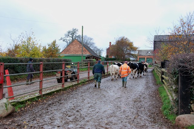
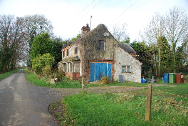
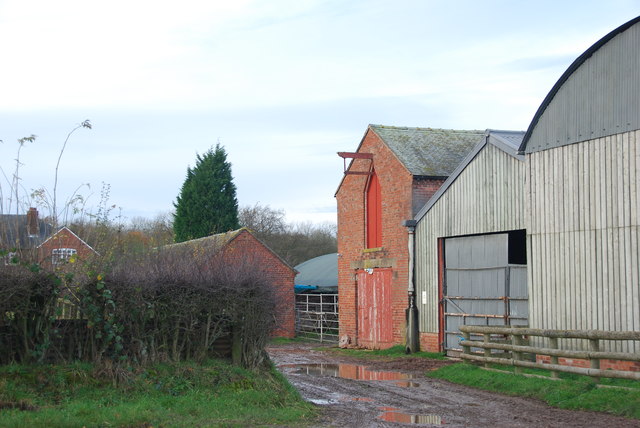
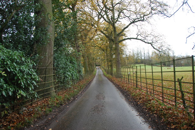
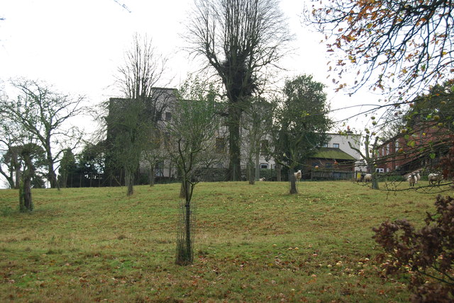
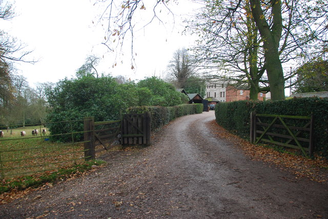
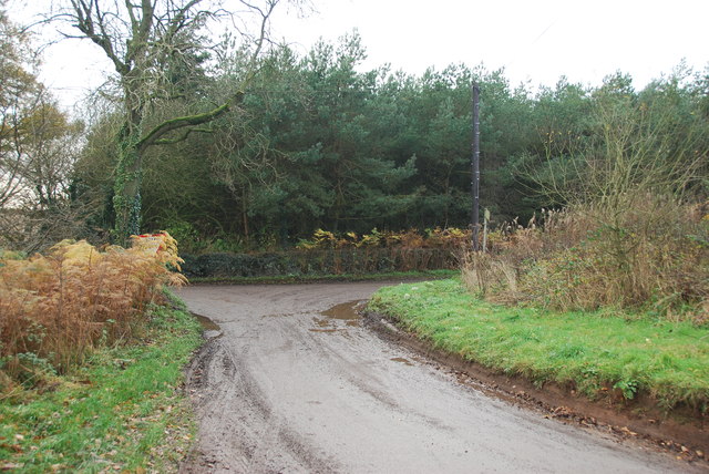
Charnes Park is a picturesque and expansive park located in the county of Staffordshire, England. Known for its stunning natural beauty and diverse landscape, the park is situated in the Downs and Moorland region, offering visitors a unique and captivating experience.

Covering an area of approximately 100 hectares, Charnes Park boasts a combination of rolling hills, lush meadows, and dense woodlands. The park is home to a wide variety of flora and fauna, making it a popular destination for nature enthusiasts and wildlife lovers. Rare species of plants and animals can often be spotted here, adding to the park's allure.

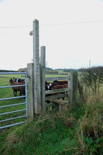
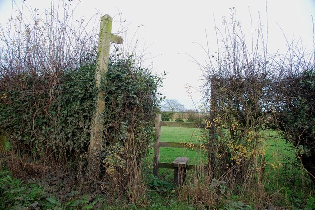
The park offers a range of recreational activities for visitors of all ages. It features well-maintained walking trails, perfect for leisurely strolls and invigorating hikes. Additionally, there are designated areas for picnics and barbecues, allowing families and friends to enjoy a delightful outdoor meal amidst the serene surroundings.

Charnes Park also caters to sports enthusiasts, with facilities for football, cricket, and tennis available. The park's open spaces provide ample room for various outdoor games and activities, ensuring that there is something for everyone.

Moreover, the park has a small lake, which serves as a focal point for tranquil boat rides and fishing opportunities. The serene waters and surrounding greenery create a peaceful ambiance, ideal for unwinding and relaxation.

With its natural charm and diverse recreational offerings, Charnes Park in Staffordshire is a haven for those seeking an escape from the hustle and bustle of everyday life.

If you have any feedback on the listing, please let us know in the comments section below.
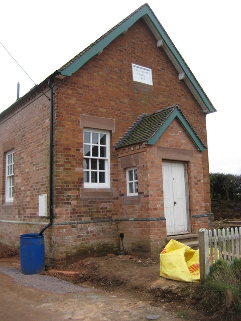
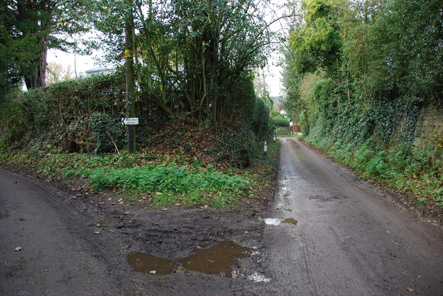
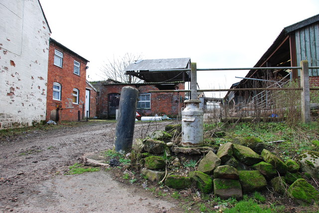
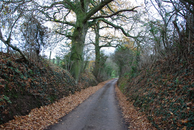
Charnes Park Images

Images are sourced within 2km of 52.899993/-2.3235037 or Grid Reference SJ7833. Thanks to Geograph Open Source API. All images are credited.

Free Gospel Chapel The Chapel, built in 1874 according to the stone above the door, appears to be under development for residential use.
Free Gospel Chapel
The Chapel, built in 1874 according to the stone above the door, appears to be under development for residential use.
Storage Yard for Farm Implements in Croxton
Side Streets in Croxton The lane straight on rejoins the B5026 just outside the village, the lane to the left goes to Woodwall Green.
Side Streets in Croxton
The lane straight on rejoins the B5026 just outside the village, the lane to the left goes to Woodwall Green.
Small Farm in Croxton This farm has a very inventive post box, it is an old milk churn, with a waterproof slot near the top, and a door has been cut lower down to enable the post to be removed.
Small Farm in Croxton
This farm has a very inventive post box, it is an old milk churn, with a waterproof slot near the top, and a door has been cut lower down to enable the post to be removed.
Country Lane near Croxton
Narrow Lane heading towards Newhouse Farm The lanes round here don't seem to get much wider, but at least they are not getting narrower. They must be rough when there is snow about.
Narrow Lane heading towards Newhouse Farm
The lanes round here don't seem to get much wider, but at least they are not getting narrower. They must be rough when there is snow about.
Cattle Drive English Style at Newhouse Farm These young cattle were being brought back to the farm, from a field down the lane.
Cattle Drive English Style at Newhouse Farm
These young cattle were being brought back to the farm, from a field down the lane.
Derelict house on the road to Chatcull I wonder what stories this house has to tell.
Derelict house on the road to Chatcull
I wonder what stories this house has to tell.
Crossroads near Chatcull
Bridge over a small stream near Whittington
Red brick barn at Brooklyn Farm
Stile and footpath with rare breed sheep A rare breed of small black and white sheep called Balwen, looking like Border Collies. They are marked with a white stripe on the head (hence the name), have four white feet and long tails with a white tip.     see link  <span class="nowrap"><a title="http://lifeasahuman.com/2010/humor/a-rare-breed-of-sheep-and-civil-servants/" rel="nofollow ugc noopener" href="http://lifeasahuman.com/2010/humor/a-rare-breed-of-sheep-and-civil-servants/">Link</a><img style="margin-left:2px;" alt="External link" title="External link - shift click to open in new window" src="https://s1.geograph.org.uk/img/external.png" width="10" height="10"/></span>
Stile and footpath with rare breed sheep
A rare breed of small black and white sheep called Balwen, looking like Border Collies. They are marked with a white stripe on the head (hence the name), have four white feet and long tails with a white tip. see link LinkExternal link
Stile and footpath to Chatcull
Entrance to Charnes Old Hall farm
Road through Charnes estate This road with its metal fences and avenue of trees, gives the impression that there is large estate nearby.   see link  <span class="nowrap"><a title="http://www.britishlistedbuildings.co.uk/en-272232-charnes-hall-eccleshall" rel="nofollow ugc noopener" href="http://www.britishlistedbuildings.co.uk/en-272232-charnes-hall-eccleshall">Link</a><img style="margin-left:2px;" alt="External link" title="External link - shift click to open in new window" src="https://s1.geograph.org.uk/img/external.png" width="10" height="10"/></span>
Road through Charnes estate
This road with its metal fences and avenue of trees, gives the impression that there is large estate nearby. see link LinkExternal link
Charnes Hall, Eccleshall It is a pity that this old hall is partly covered by trees.  see link  <span class="nowrap"><a title="http://www.britishlistedbuildings.co.uk/en-272232-charnes-hall-eccleshall" rel="nofollow ugc noopener" href="http://www.britishlistedbuildings.co.uk/en-272232-charnes-hall-eccleshall">Link</a><img style="margin-left:2px;" alt="External link" title="External link - shift click to open in new window" src="https://s1.geograph.org.uk/img/external.png" width="10" height="10"/></span>
Charnes Hall, Eccleshall
It is a pity that this old hall is partly covered by trees. see link LinkExternal link
The driveway to Charnes Hall
Looking back to a road junction near the Ashley Road Plantation
Show me another place!

Charnes Park is located at Grid Ref: SJ7833 (Lat: 52.899993, Lng: -2.3235037)

Administrative County: Staffordshire

District: Stafford

Police Authority: Staffordshire

What 3 Words

///laminate.snails.volcano. Near Standon, Staffordshire

Related Wikis

Croxton, Staffordshire

Croxton is a village on the B5026 between Eccleshall and Loggerheads. Population details for the 2011 census can be found under Eccleshall. It is notable...

Armsdale

Armsdale is a village in Staffordshire, England. Population details for the 2011 census can be found under Eccleshall.

Bowers, Staffordshire

Bowers is a village in Staffordshire, England. For population details as taken in the 2011 census see Standon.

Standon, Staffordshire

Standon is a village and civil parish in the Stafford district, in the county of Staffordshire, England. Standon has a church called Church of All Saints...

Ashley, Staffordshire

Ashley is a village and former civil parish, now in the parish of Loggerheads, in the Newcastle-under-Lyme district, in the county of Staffordshire, England...

Jackson's Coppice and Marsh

Jackson's Coppice and Marsh is a nature reserve of the Staffordshire Wildlife Trust. It is along the River Sow, near the village of Bishop's Offley and...

Outlands, Staffordshire

Outlands is a hamlet in the English county of Staffordshire. It lies 1 km eas of Bishop's Offley. == External links == Map sources for Outlands, Staffordshire

Coombesdale

Coombesdale is a small settlement in Staffordshire, England. It is near the A51 road and is 6 kilometres (4 mi) southwest of the city of Stoke-on-Trent...

Nearby Amenities

Located within 500m of 52.899993,-2.3235037
Power: tower
Source: Bing
Lat/Long: 52.8977831/-2.3214104
Power: tower
Source: Bing
Lat/Long: 52.8999834/-2.3188721
Power: tower
Lat/Long: 52.8957014/-2.3237945
Charnes
Place: hamlet
Lat/Long: 52.9011344/-2.3301301
Power: pole
Lat/Long: 52.9030934/-2.3261297
The data included in this document is from www.openstreetmap.org. The data is made available under ODbL.

Have you been to Charnes Park?

Leave your review of Charnes Park below (or comments, questions and feedback).