Stockton Moors

Downs, Moorland in Shropshire

England

Stockton Moors

Woodcote Hall Currently a nursing home for elderly people, Woodcote Hall as seen now is primarily a late 19th century building, constructed in Jacobean style to replace an earlier house which was destroyed by fire. A few traces of the earlier building's fabric remain in parts, but much was burnt beyond repair. As it stands now, it was Grade II listed <span class="nowrap"><a title="https://britishlistedbuildings.co.uk/101351992-woodcote-hall-chetwynd-aston-and-woodcote" rel="nofollow ugc noopener" href="https://britishlistedbuildings.co.uk/101351992-woodcote-hall-chetwynd-aston-and-woodcote">Link</a><img style="margin-left:2px;" alt="External link" title="External link - shift click to open in new window" src="https://s1.geograph.org.uk/img/external.png" width="10" height="10"/></span> & <span class="nowrap"><a title="https://historicengland.org.uk/listing/the-list/list-entry/1351992" rel="nofollow ugc noopener" href="https://historicengland.org.uk/listing/the-list/list-entry/1351992">Link</a><img style="margin-left:2px;" alt="External link" title="External link - shift click to open in new window" src="https://s1.geograph.org.uk/img/external.png" width="10" height="10"/></span> in 1981, and retains a number of worthy internal features.
Woodcote Hall Credit: Richard Law

Stockton Moors is a picturesque area located in the county of Shropshire, England. Situated amidst the stunning scenery of the Shropshire Hills, this region showcases a unique blend of downs and moorland landscapes. It covers an expansive area of approximately 10 square miles, offering visitors a tranquil and idyllic countryside experience.

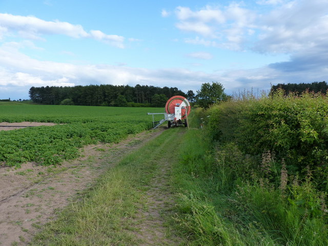
The moorland in Stockton Moors is characterized by its vast open spaces and rolling hills, covered in heather and gorse. These heathlands provide a haven for a diverse range of wildlife, including birds such as curlews, lapwings, and skylarks. The moors are also home to various species of butterflies and other insects, adding to the area's natural biodiversity.

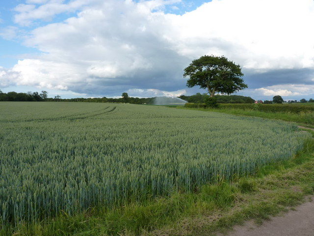
In contrast to the moorland, Stockton Downs boast lush green pastures and gentle slopes. These downs are primarily used for grazing livestock, contributing to the region's agricultural heritage. The presence of sheep and cattle grazing on the downs is a common sight, enhancing the pastoral charm of the area.

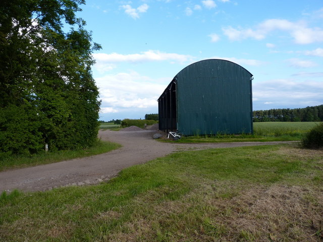
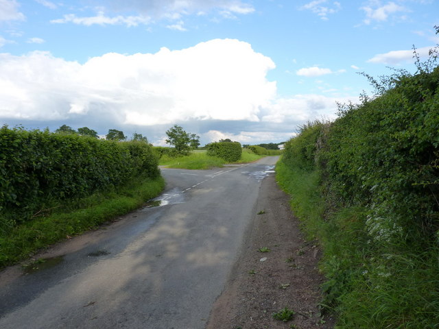
Stockton Moors is a popular destination for outdoor enthusiasts and nature lovers alike. Visitors can enjoy long walks or hikes along the numerous footpaths and bridleways that crisscross the landscape, providing breathtaking views of the surrounding countryside. The moors are also ideal for birdwatching, photography, and enjoying a peaceful picnic amidst nature.

Overall, Stockton Moors in Shropshire offers a delightful combination of moorland and downs, providing a serene and picturesque escape from the hustle and bustle of everyday life. Its natural beauty and diverse wildlife make it a cherished destination for those seeking a connection with nature in the heart of England.

If you have any feedback on the listing, please let us know in the comments section below.

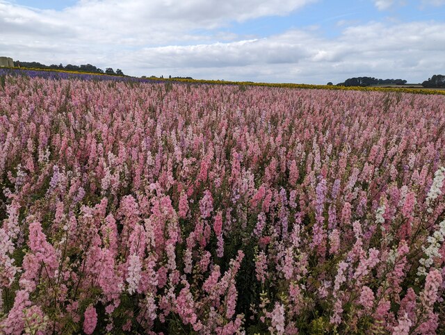
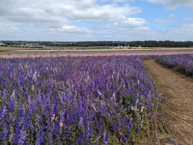
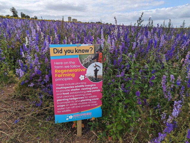
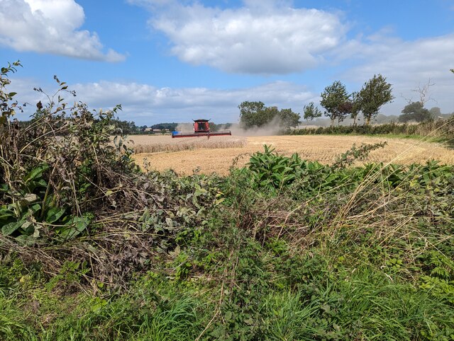
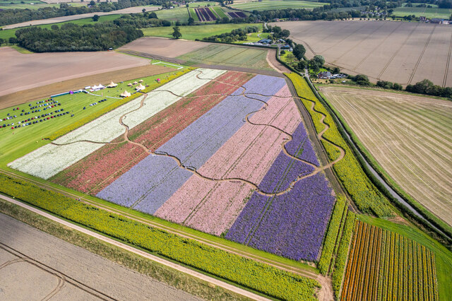
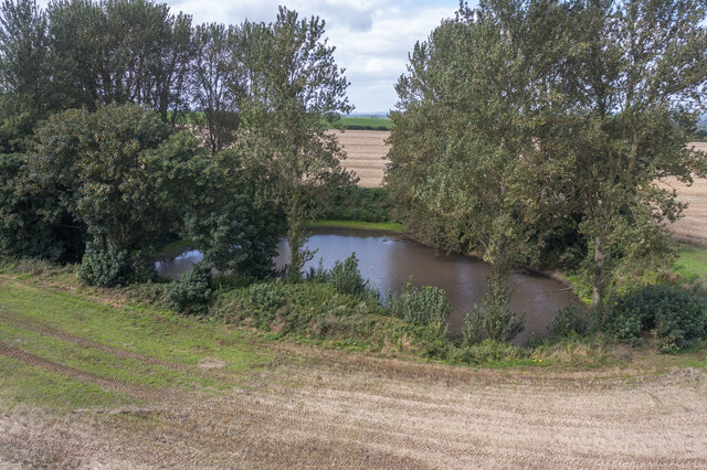
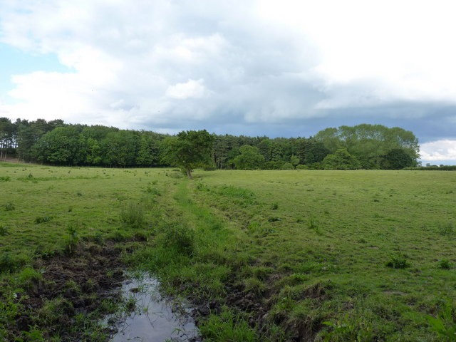
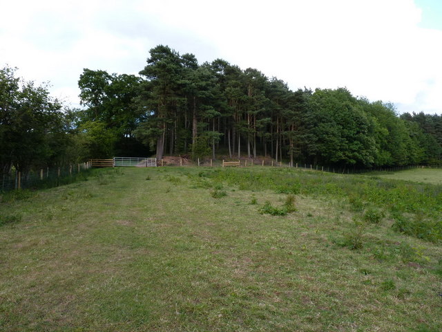
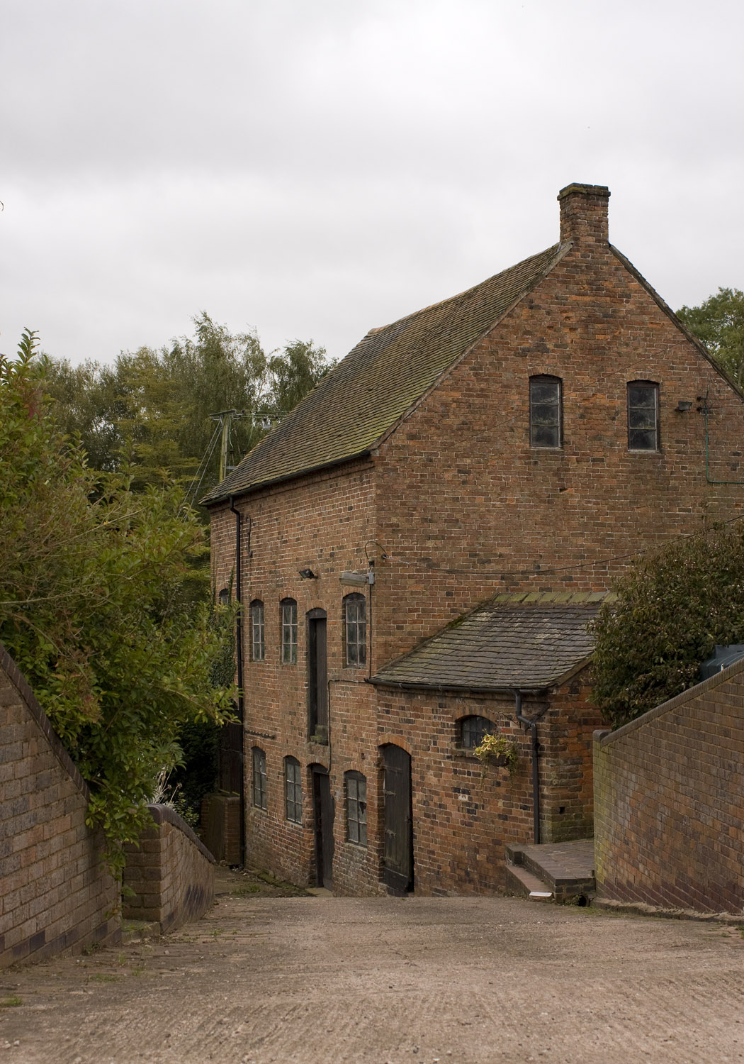
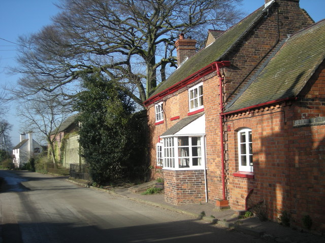
Stockton Moors Images

Images are sourced within 2km of 52.749225/-2.3256146 or Grid Reference SJ7816. Thanks to Geograph Open Source API. All images are credited.

Woodcote Hall Currently a nursing home for elderly people, Woodcote Hall as seen now is primarily a late 19th century building, constructed in Jacobean style to replace an earlier house which was destroyed by fire. A few traces of the earlier building's fabric remain in parts, but much was burnt beyond repair. As it stands now, it was Grade II listed <span class="nowrap"><a title="https://britishlistedbuildings.co.uk/101351992-woodcote-hall-chetwynd-aston-and-woodcote" rel="nofollow ugc noopener" href="https://britishlistedbuildings.co.uk/101351992-woodcote-hall-chetwynd-aston-and-woodcote">Link</a><img style="margin-left:2px;" alt="External link" title="External link - shift click to open in new window" src="https://s1.geograph.org.uk/img/external.png" width="10" height="10"/></span> & <span class="nowrap"><a title="https://historicengland.org.uk/listing/the-list/list-entry/1351992" rel="nofollow ugc noopener" href="https://historicengland.org.uk/listing/the-list/list-entry/1351992">Link</a><img style="margin-left:2px;" alt="External link" title="External link - shift click to open in new window" src="https://s1.geograph.org.uk/img/external.png" width="10" height="10"/></span> in 1981, and retains a number of worthy internal features.
Woodcote Hall
Currently a nursing home for elderly people, Woodcote Hall as seen now is primarily a late 19th century building, constructed in Jacobean style to replace an earlier house which was destroyed by fire. A few traces of the earlier building's fabric remain in parts, but much was burnt beyond repair. As it stands now, it was Grade II listed LinkExternal link & LinkExternal link in 1981, and retains a number of worthy internal features.
Churchyard walls to St Peter's chapel Dated to the late 17th or early 18th century, and built of local sandstone with a coping. The wall surrounds the chapel, and was Grade II listed <span class="nowrap"><a title="https://britishlistedbuildings.co.uk/101033340-churchyard-boundary-wall-chetwynd-aston-and-woodcote" rel="nofollow ugc noopener" href="https://britishlistedbuildings.co.uk/101033340-churchyard-boundary-wall-chetwynd-aston-and-woodcote">Link</a><img style="margin-left:2px;" alt="External link" title="External link - shift click to open in new window" src="https://s1.geograph.org.uk/img/external.png" width="10" height="10"/></span> & <span class="nowrap"><a title="https://historicengland.org.uk/listing/the-list/list-entry/1033340" rel="nofollow ugc noopener" href="https://historicengland.org.uk/listing/the-list/list-entry/1033340">Link</a><img style="margin-left:2px;" alt="External link" title="External link - shift click to open in new window" src="https://s1.geograph.org.uk/img/external.png" width="10" height="10"/></span> in 1981.
Churchyard walls to St Peter's chapel
Dated to the late 17th or early 18th century, and built of local sandstone with a coping. The wall surrounds the chapel, and was Grade II listed LinkExternal link & LinkExternal link in 1981.
Woodcote Coach House A rear view of the building that was once the coach house to the main hall, now converted to residential use. It consists of an 18th century brick construction over a (possibly older) sandstone plinth or foundation, with stone quoins and a hipped, tiled roof, and was Grade II listed <span class="nowrap"><a title="https://britishlistedbuildings.co.uk/101210109-stable-and-coach-house-range-immediately-west-north-west-of-woodcote-hall-chetwynd-aston-and-woodcote" rel="nofollow ugc noopener" href="https://britishlistedbuildings.co.uk/101210109-stable-and-coach-house-range-immediately-west-north-west-of-woodcote-hall-chetwynd-aston-and-woodcote">Link</a><img style="margin-left:2px;" alt="External link" title="External link - shift click to open in new window" src="https://s1.geograph.org.uk/img/external.png" width="10" height="10"/></span> & <span class="nowrap"><a title="https://historicengland.org.uk/listing/the-list/list-entry/1210109" rel="nofollow ugc noopener" href="https://historicengland.org.uk/listing/the-list/list-entry/1210109">Link</a><img style="margin-left:2px;" alt="External link" title="External link - shift click to open in new window" src="https://s1.geograph.org.uk/img/external.png" width="10" height="10"/></span> in 1981, along with the associated former stable buildings. Those are not visible from this direction.
Woodcote Coach House
A rear view of the building that was once the coach house to the main hall, now converted to residential use. It consists of an 18th century brick construction over a (possibly older) sandstone plinth or foundation, with stone quoins and a hipped, tiled roof, and was Grade II listed LinkExternal link & LinkExternal link in 1981, along with the associated former stable buildings. Those are not visible from this direction.
Old Milestone by A41, Brandon House, East of Woodcote Hall The Milestone is located against wall on the West of the road.  Parish of Chetwynd Aston And Woodcote (Telford & Wrekin District). Cast iron post, erected by the Wolverhampton, Albrighton district turnpike trust in the 19th Century. An earlier photograph can be found here: <a title="https://www.geograph.org.uk/photo/6044196" href="https://www.geograph.org.uk/photo/6044196">Link</a> 

Inscription reads: 
TO / NEWPORT / 3 MILES : : TO / IVETSEY / BANK / 5 MILES: : BRANDON / HOUSE 

Milestone Society National ID: SA_NPIV03
Old Milestone by A41, Brandon House, East of Woodcote Hall
The Milestone is located against wall on the West of the road.  Parish of Chetwynd Aston And Woodcote (Telford & Wrekin District). Cast iron post, erected by the Wolverhampton, Albrighton district turnpike trust in the 19th Century. An earlier photograph can be found here: Link  Inscription reads: TO / NEWPORT / 3 MILES : : TO / IVETSEY / BANK / 5 MILES: : BRANDON / HOUSE Milestone Society National ID: SA_NPIV03
Teepees set up for the Shropshire Petal Fields event The Shropshire Petal Fields is an event which this year is open for just one week, from 4 August to 13 August, allowing people to walk around the flower-filled fields which are grown for Confetti.
Teepees set up for the Shropshire Petal Fields event
The Shropshire Petal Fields is an event which this year is open for just one week, from 4 August to 13 August, allowing people to walk around the flower-filled fields which are grown for Confetti.
Field of pink flowers The Shropshire Petal Fields is an event which this year is open for just one week, from 4 August to 13 August, allowing people to walk around the flower-filled fields which are grown for Confetti.
Field of pink flowers
The Shropshire Petal Fields is an event which this year is open for just one week, from 4 August to 13 August, allowing people to walk around the flower-filled fields which are grown for Confetti.
Field of purple flowers The Shropshire Petal Fields is an event which this year is open for just one week, from 4 August to 13 August, allowing people to walk around the flower-filled fields which are grown for Confetti.
Field of purple flowers
The Shropshire Petal Fields is an event which this year is open for just one week, from 4 August to 13 August, allowing people to walk around the flower-filled fields which are grown for Confetti.
Sign in a field of purple flowers The Shropshire Petal Fields is an event which this year is open for just one week, from 4 August to 13 August, allowing people to walk around the flower-filled fields which are grown for Confetti.
Sign in a field of purple flowers
The Shropshire Petal Fields is an event which this year is open for just one week, from 4 August to 13 August, allowing people to walk around the flower-filled fields which are grown for Confetti.
Harvesting the crops
Shropshire Petal Fields The Shropshire Petal Fields is an event which this year is open for just one week, from 4 August to 13 August, allowing people to walk around the flower-filled fields which are grown for Confetti.
Shropshire Petal Fields
The Shropshire Petal Fields is an event which this year is open for just one week, from 4 August to 13 August, allowing people to walk around the flower-filled fields which are grown for Confetti.
Pond in a field
Pond in a field
Bolamsbrook cottages
The Orslow Brook at Coneygreaves Little more than a boggy ditch at this point, especially in near-drought conditions, it eventually runs into the Back Brook.
The Orslow Brook at Coneygreaves
Little more than a boggy ditch at this point, especially in near-drought conditions, it eventually runs into the Back Brook.
Bridleway at Coneygreaves Looking along the bridleway from Great Chatwell to Bromstead, towards the point where another splits off towards Moreton at the gate 100 yards away.
Bridleway at Coneygreaves
Looking along the bridleway from Great Chatwell to Bromstead, towards the point where another splits off towards Moreton at the gate 100 yards away.
A good attempt to block the bridleway A raingun was watering the potatoes just off shot to the left here; its hose reel had been left right across the bridleway, although a bike (or horse) could just about squeeze through against the hedge.
A good attempt to block the bridleway
A raingun was watering the potatoes just off shot to the left here; its hose reel had been left right across the bridleway, although a bike (or horse) could just about squeeze through against the hedge.
Mixed crops at Moreton Wheat in the foreground, potatoes under the raingun in the distance.
Mixed crops at Moreton
Wheat in the foreground, potatoes under the raingun in the distance.
Dutch barn at Sand Bank A large, isolated barn at the corner of Chapman's Wood.
Dutch barn at Sand Bank
A large, isolated barn at the corner of Chapman's Wood.
Lane junction near Moreton
Show me another place!

Stockton Moors is located at Grid Ref: SJ7816 (Lat: 52.749225, Lng: -2.3256146)

Unitary Authority: Telford and Wrekin

Police Authority: West Mercia

What 3 Words

///exposing.mere.nicer. Near Woodcote, Shropshire

Nearby Locations

Stockton Moors

Related Wikis

Outwoods, Stafford

Outwoods is a hamlet in the English county of Staffordshire. Outwoods is located in the extreme west of the county near to the town of Newport, Shropshire...

Moreton, Staffordshire

Moreton is a small rural village in the borough of Stafford in Staffordshire, England, near the border with Shropshire. It lies 3.5 miles (5.6 km) south...
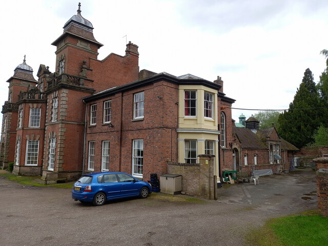
Woodcote Hall

Woodcote Hall is a nursing home situated on the edge of Newport, Shropshire, England, on the Staffordshire border. == House == It was until the early 20th...

Pave Lane

Pave Lane is a hamlet in Shropshire, England, 1.5 miles (2.4 km) south of Newport, just outside the small village of Chetwynd Aston. It is an affluent...

Beffcote

Beffcote is a village in Staffordshire, England. For the population taken at the United Kingdom Census 2011 see Gnosall.

Chadwell, Shropshire

Chadwell is a hamlet in the county of Shropshire, England. It lies 1/2 mile west of the village of Great Chatwell over the Staffordshire border and comprises...

Great Chatwell

Great Chatwell is a small village within the civil parish of Blymhill and Weston-under-Lizard, in the South Staffordshire district of Staffordshire, England...

Aqualate Hall

Aqualate Hall, a 20th-century country house, is located in Forton, Staffordshire, England, some 2 miles (3.2 km) east of the market town of Newport, Shropshire...

Nearby Amenities

Located within 500m of 52.749225,-2.3256146
Give Way
Direction: forward
Lat/Long: 52.747184/-2.3223103
Newport Dog Park
Leisure: dog_park
Lat/Long: 52.7469417/-2.3254884
The data included in this document is from www.openstreetmap.org. The data is made available under ODbL.

Have you been to Stockton Moors?

Leave your review of Stockton Moors below (or comments, questions and feedback).