Burleston Down

Downs, Moorland in Dorset

England

Burleston Down

Layby on the A35 Near Burleston looking west on a wet August morning.
Layby on the A35 Credit: Trevor Harris

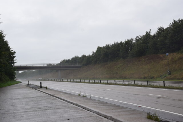
Burleston Down is a picturesque area located in Dorset, England. It encompasses an extensive landscape of downs and moorland, offering visitors a unique and diverse natural experience. The site is known for its stunning scenery, rich wildlife, and historical significance.

The downs of Burleston Down are characterized by rolling hills covered in lush grass and wildflowers, creating a vibrant and colorful backdrop. The area is popular with hikers and walkers, who come to explore the numerous trails that wind through the downs, offering breathtaking views of the surrounding countryside.

In addition to its natural beauty, Burleston Down is home to a diverse range of wildlife. The moorland provides a habitat for various bird species, including the rare Dartford warbler and the elusive nightjar. Visitors may also spot rabbits, foxes, and even deer as they explore the area.

The history of Burleston Down is equally captivating. The site was once used for farming and grazing, and evidence of ancient settlements can still be found in the form of ancient burial mounds and stone circles. These remnants of the past add an air of mystery and intrigue to the landscape.

Overall, Burleston Down in Dorset is a haven for nature enthusiasts, history lovers, and those seeking tranquility in a breathtaking setting. Whether it's exploring the downs, observing the wildlife, or delving into the area's rich history, visitors are sure to be captivated by the beauty and charm of this remarkable natural treasure.

If you have any feedback on the listing, please let us know in the comments section below.

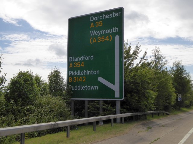
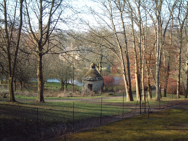
Burleston Down Images

Images are sourced within 2km of 50.760318/-2.3167665 or Grid Reference SY7795. Thanks to Geograph Open Source API. All images are credited.

Layby on the A35 Near Burleston looking west on a wet August morning.
Layby on the A35
Near Burleston looking west on a wet August morning.
Athelhampton House Dorset is blessed with some fine country houses.
Athelhampton House
Dorset is blessed with some fine country houses.
A35 bridge
A35 bridge
A354 turning to Langham wine estate
Athelhampton House One of West Dorset's finest country houses set by the River Piddle.
Athelhampton House
One of West Dorset's finest country houses set by the River Piddle.
Tolpuddle Revisited (a) Statue at the Martyrs Museum. Of course, the martyrs are now long since gone. Departing this month were: One)  boxer Ken Buchanan, Two)  Tory big beast Nigel Lawson, Three)  S Club 7's Paul Cattermole, Four)   Johnny Rotten's wife Nora,  Five)  Fashion's Mary Quant,  Six) housewife and superstar Dame Edna Everage, SEVEEERRRNNNN!) Strictly's Len Goodman, Eight) singer Harry Belafonte, Nine)  Jerreeee Springer, and Ten, but would he have got a 'Ten from Len'?) Olympian Jim Fox.
Tolpuddle Revisited (a)
Statue at the Martyrs Museum. Of course, the martyrs are now long since gone. Departing this month were: One) boxer Ken Buchanan, Two) Tory big beast Nigel Lawson, Three) S Club 7's Paul Cattermole, Four) Johnny Rotten's wife Nora, Five) Fashion's Mary Quant, Six) housewife and superstar Dame Edna Everage, SEVEEERRRNNNN!) Strictly's Len Goodman, Eight) singer Harry Belafonte, Nine) Jerreeee Springer, and Ten, but would he have got a 'Ten from Len'?) Olympian Jim Fox.
Tolpuddle Revisited (2) Inside Tolpuddle Martyrs Museum
Tolpuddle Revisited (2)
Inside Tolpuddle Martyrs Museum
Tolpuddle Revisited (3) Phone box near the museum
Tolpuddle Revisited (3)
Phone box near the museum
Tolpuddle Revisited (4) Egdon Gardens
Tolpuddle Revisited (4)
Egdon Gardens
Tolpuddle Revisited (5) The parish church on a dull morning. The weather this month has been....seasonal <span class="nowrap"><a title="https://www.metoffice.gov.uk/binaries/content/assets/metofficegovuk/pdf/weather/learn-about/uk-past-events/summaries/mwr_2023_04_for_print.pdf" rel="nofollow ugc noopener" href="https://www.metoffice.gov.uk/binaries/content/assets/metofficegovuk/pdf/weather/learn-about/uk-past-events/summaries/mwr_2023_04_for_print.pdf">Link</a><img style="margin-left:2px;" alt="External link" title="External link - shift click to open in new window" src="https://s1.geograph.org.uk/img/external.png" width="10" height="10"/></span>
Tolpuddle Revisited (5)
The parish church on a dull morning. The weather this month has been....seasonal LinkExternal link
Tolpuddle Revisited (6) Rush hour
Tolpuddle Revisited (6)
Rush hour
Tolpuddle Revisited (7) The Green
Tolpuddle Revisited (7)
The Green
Bridge over A35 north of Tolpuddle The minor road crossing the bridge links Tolpuddle and Tolpuddle Common
Bridge over A35 north of Tolpuddle
The minor road crossing the bridge links Tolpuddle and Tolpuddle Common
Phone mast north of Tolpuddle
Bridge over A35 north of Burleston It carries a farm track and public footpath over the shallow cutting.  The A35 is dropping to the stream known as Devil's Brook
Bridge over A35 north of Burleston
It carries a farm track and public footpath over the shallow cutting. The A35 is dropping to the stream known as Devil's Brook
A35 north-west of Burleston The end of a lay-by on the westbound carriageway, and a farm bridge with footpath in the background.  The nearer parapet of the bridge crosses the north-south gridline
A35 north-west of Burleston
The end of a lay-by on the westbound carriageway, and a farm bridge with footpath in the background. The nearer parapet of the bridge crosses the north-south gridline
Sign by the A35 ahead of A354 junction The A35 is a 97 mile long trunk road between Honiton and Southampton, via Poole and Bournemiouth. <span class="nowrap"><a title="http://www.sabre-roads.org.uk/wiki/index.php?title=A35" rel="nofollow ugc noopener" href="http://www.sabre-roads.org.uk/wiki/index.php?title=A35">Link</a><img style="margin-left:2px;" alt="External link" title="External link - shift click to open in new window" src="https://s1.geograph.org.uk/img/external.png" width="10" height="10"/></span>
Sign by the A35 ahead of A354 junction
The A35 is a 97 mile long trunk road between Honiton and Southampton, via Poole and Bournemiouth. LinkExternal link
Athelhampton House main entrance
Show me another place!

Burleston Down is located at Grid Ref: SY7795 (Lat: 50.760318, Lng: -2.3167665)

Unitary Authority: Dorset

Police Authority: Dorset

What 3 Words

///blazing.footpath.pram. Near Puddletown, Dorset

Related Wikis

Devils Brook (Dorset)

The Devils Brook is a Dorset watercourse of that rises near Higher Ansty (on Pleck Farm, in Pleck or Little Ansty), near to the source of the River Divelish...
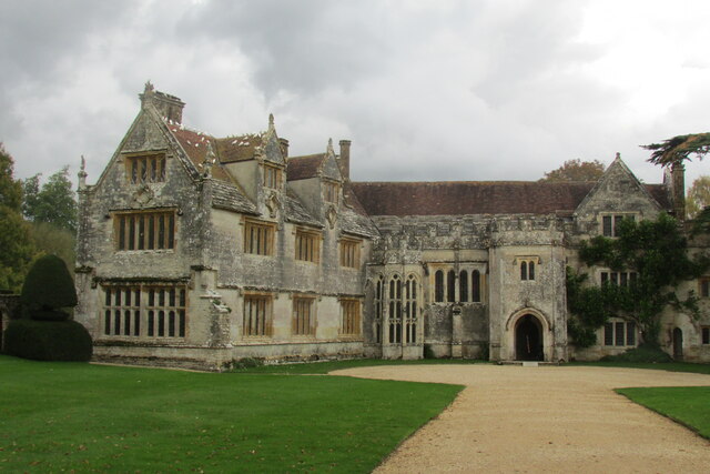
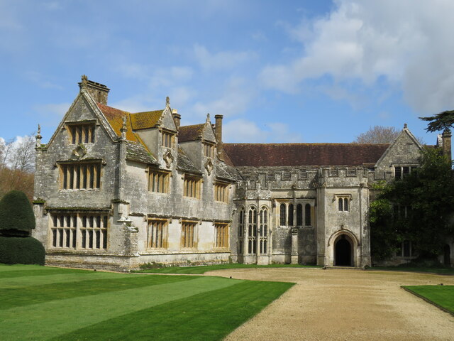
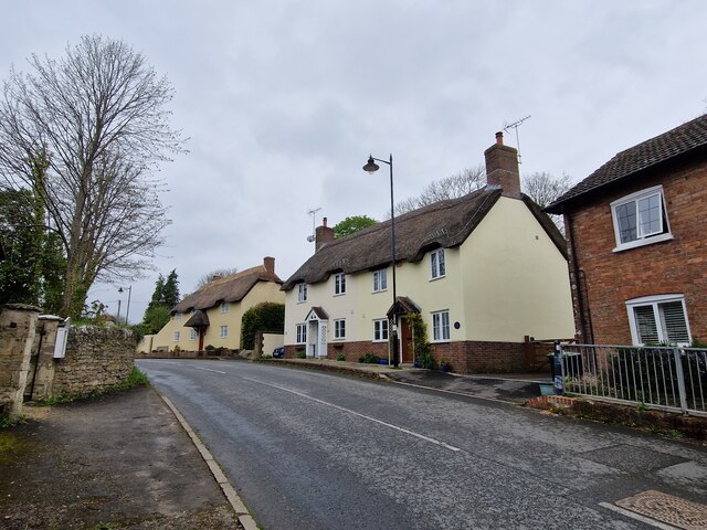
Athelhampton

Athelhampton (also known as Admiston or Adminston) is a settlement and civil parish in Dorset, England, situated approximately 5 miles (8 km) east of Dorchester...

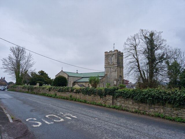
St John's Church, Tolpuddle

The Church of Saint John the Evangelist is a Church of England parish church in Tolpuddle, Dorset. The church is a Grade I listed building. == History... ==

Dewlish House

Dewlish House is a country house near Dewlish in Dorset. It is a Grade I Listed building. == History == Dewlish House, built in 1702, became the home of...

Nearby Amenities

Located within 500m of 50.760318,-2.3167665
tumulus
Historic: archaeological_site
Source: NPE
Lat/Long: 50.7631752/-2.3156669
Material: wood
Power: pole
Source: bing
Lat/Long: 50.7638963/-2.3176016
Material: wood
Power: pole
Source: bing
Lat/Long: 50.7646431/-2.3155039
Power: pole
Source: bing
Lat/Long: 50.7641788/-2.3168479
Power: pole
Source: bing
Lat/Long: 50.7563189/-2.3165421
Power: pole
Source: bing
Lat/Long: 50.7569892/-2.316577
Power: pole
Source: bing
Lat/Long: 50.7576755/-2.316636
Power: pole
Source: bing
Lat/Long: 50.7590456/-2.3167379
Power: pole
Source: bing
Lat/Long: 50.7597056/-2.3167862
Power: pole
Source: bing
Lat/Long: 50.76094/-2.3170088
Power: pole
Source: bing
Lat/Long: 50.7618511/-2.3171979
Power: pole
Source: bing
Lat/Long: 50.7627655/-2.3173857
Power: pole
Source: bing
Lat/Long: 50.7632864/-2.3174594
The data included in this document is from www.openstreetmap.org. The data is made available under ODbL.

Have you been to Burleston Down?

Leave your review of Burleston Down below (or comments, questions and feedback).