Batty Moss

Downs, Moorland in Yorkshire Craven

England

Batty Moss

Ruined building on the slope of Whernside See <a href="https://www.geograph.org.uk/photo/4533242">SD7580 : Ruin by Little Dale Beck</a> for a closer view.
Ruined building on the slope of Whernside Credit: Stephen Craven

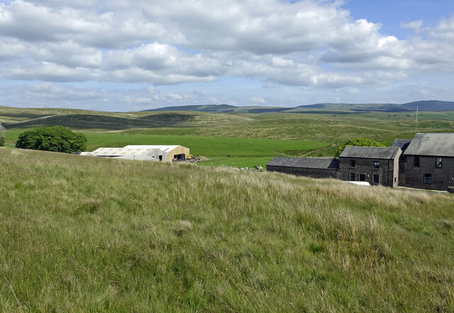
Batty Moss is a stunning area located in the county of Yorkshire, England. Situated amidst the Yorkshire Downs and Moorland, it offers breathtaking natural beauty, making it a popular destination for nature enthusiasts and hikers.

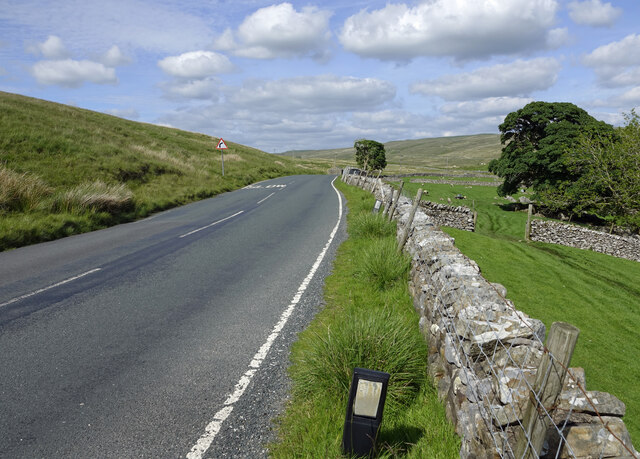
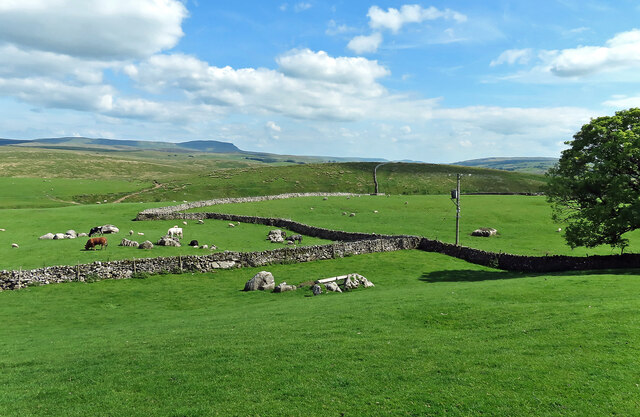
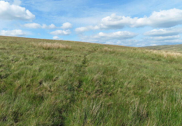
The moss is characterized by its vast expanses of open grassland, dotted with heather and wildflowers, creating a colorful and picturesque landscape. This serene environment provides a haven for a variety of wildlife, including birds, small mammals, and insects, making it an ideal spot for birdwatching and wildlife observation.

The area is also famous for its well-preserved stone structures, such as ancient cairns and stone circles, which provide a glimpse into the region's rich history and heritage. These archaeological remnants attract history buffs and visitors interested in exploring the area's past.

Batty Moss offers an extensive network of walking trails and paths, allowing visitors to immerse themselves in the tranquil surroundings and enjoy panoramic views of the surrounding countryside. The trails cater to all levels of fitness, from leisurely strolls to more challenging hikes, ensuring there is something for everyone.

In addition to its natural beauty, Batty Moss is known for its enchanting sunsets, which paint the sky with vibrant hues of orange and pink. Many visitors flock to the area during the evening hours to witness this awe-inspiring spectacle.

Overall, Batty Moss is a captivating destination that showcases the diverse and captivating landscapes of Yorkshire, offering visitors a chance to reconnect with nature and experience the region's natural wonders.

If you have any feedback on the listing, please let us know in the comments section below.
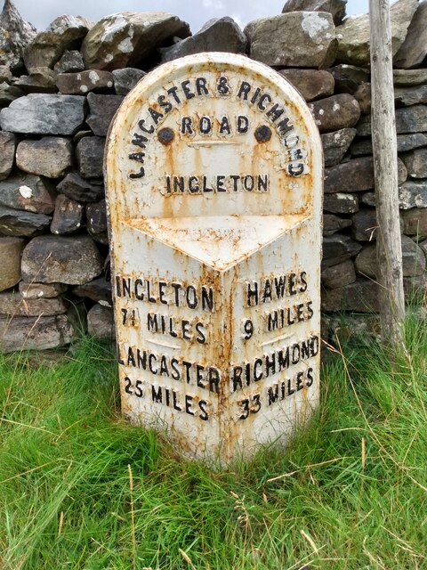
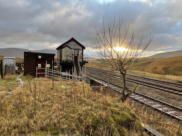
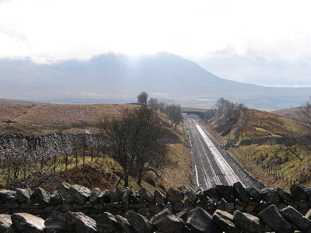
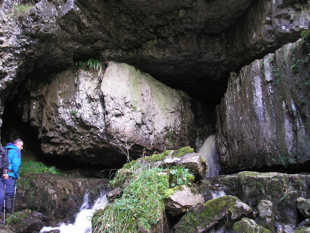
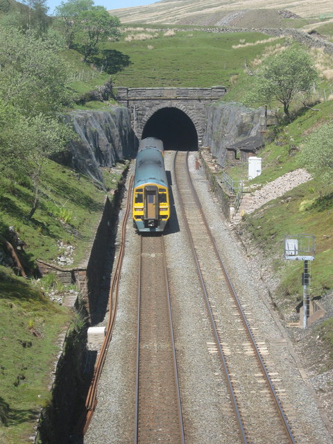
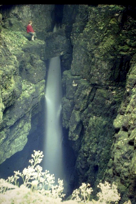
Batty Moss Images

Images are sourced within 2km of 54.210363/-2.358258 or Grid Reference SD7679. Thanks to Geograph Open Source API. All images are credited.

Ruined building on the slope of Whernside See <a href="https://www.geograph.org.uk/photo/4533242">SD7580 : Ruin by Little Dale Beck</a> for a closer view.
Ruined building on the slope of Whernside
See SD7580 : Ruin by Little Dale Beck for a closer view.
Blea Moor Cottage and Signal Box Buildings at Blea Moor Summit on the Settle and Carlisle Railway, viewed from a passing train.
Blea Moor Cottage and Signal Box
Buildings at Blea Moor Summit on the Settle and Carlisle Railway, viewed from a passing train.
Blea Moor Signal Box Viewed from a south bound train
Blea Moor Signal Box
Viewed from a south bound train
Passing Far Gearstones The B6255 climbs up the moor from Ribblehead before descending into Widdale.
Passing Far Gearstones
The B6255 climbs up the moor from Ribblehead before descending into Widdale.
At Far Gearstones Fields near the farm buildings, marked out by traditional dry-stone walls.
At Far Gearstones
Fields near the farm buildings, marked out by traditional dry-stone walls.
On Green Slack Hill A sort of a path on the moor near Gearstones.
On Green Slack Hill
A sort of a path on the moor near Gearstones.
From Green Slack Hill This view taken from the edge of the hill shows Far Gearstones on the left and Gearstones Lodge on the right.
From Green Slack Hill
This view taken from the edge of the hill shows Far Gearstones on the left and Gearstones Lodge on the right.
Blea Moor sidings and signal box Viewed from Smithy Hill on the ascent of Whernside.
Blea Moor sidings and signal box
Viewed from Smithy Hill on the ascent of Whernside.
Old milestone The 13 mile section of the route from Burton in Lonsdale to the old West Riding/North Riding boundary was, prior to 1974, in the West Riding but is now  North Yorkshire.   The previous photograph of this stone at the entrance to Far Gearstones Farm <a href="https://www.geograph.org.uk/photo/6044877">SD7880 : Old Milestone by the B6255, Blea Moor Road, Ingleton Parish</a> was actually taken in April 2015 not as stated.   It has been painted since then but rust is once again showing through.   Grade II listed 1132231.
Old milestone
The 13 mile section of the route from Burton in Lonsdale to the old West Riding/North Riding boundary was, prior to 1974, in the West Riding but is now North Yorkshire. The previous photograph of this stone at the entrance to Far Gearstones Farm SD7880 : Old Milestone by the B6255, Blea Moor Road, Ingleton Parish was actually taken in April 2015 not as stated. It has been painted since then but rust is once again showing through. Grade II listed 1132231.
Walled Track at Winterscales Approaching Winterscales Farm along the bridleway from Blea Sidings
Walled Track at Winterscales
Approaching Winterscales Farm along the bridleway from Blea Sidings
Blea Moor signal box, Settle-Carlisle railway line A very isolated spot, about a kilometre from the nearest road.
Blea Moor signal box, Settle-Carlisle railway line
A very isolated spot, about a kilometre from the nearest road.
The Settle and Carlisle Railway through Little Dale With the bulk of Ingleborough ahead.
The Settle and Carlisle Railway through Little Dale
With the bulk of Ingleborough ahead.
Bleamoor signal box
Bleamoor signal box
Blea moor signal box. The Settle to Carlisle line.
Blea moor signal box.
The Settle to Carlisle line.
Plank bridge over Little Dale Beck Not needed on this summer day, and has been subsequently replaced by a permanent footbridge a little upstream. The ex-signalman's house is visible on the right, currently (2023) on sale for a reduced £200,000, with a caveat of needing full refurbishment and, unsurprisingly, has no mains services.
Plank bridge over Little Dale Beck
Not needed on this summer day, and has been subsequently replaced by a permanent footbridge a little upstream. The ex-signalman's house is visible on the right, currently (2023) on sale for a reduced £200,000, with a caveat of needing full refurbishment and, unsurprisingly, has no mains services.
Rivet - Railway Bridge - Blea Moor - Ribblehead Rivet on abutment of railway bridge, Settle to Carlisle line over Blea Moor, Ribblehead
Rivet - Railway Bridge - Blea Moor - Ribblehead
Rivet on abutment of railway bridge, Settle to Carlisle line over Blea Moor, Ribblehead
Railway Bridge - Blea Moor - Ribblehead Rivet on abutment of railway bridge, Settle to Carlisle line over Blea Moor, Ribblehead
Railway Bridge - Blea Moor - Ribblehead
Rivet on abutment of railway bridge, Settle to Carlisle line over Blea Moor, Ribblehead
Signpost and semaphore signal at Bleamoor
Show me another place!

Batty Moss is located at Grid Ref: SD7679 (Lat: 54.210363, Lng: -2.358258)

Division: West Riding

Administrative County: North Yorkshire

District: Craven

Police Authority: North Yorkshire

What 3 Words

///dares.unusable.curries. Near Ingleton, North Yorkshire

Related Wikis

Nearby Amenities

Located within 500m of 54.210363,-2.358258
Barrier: cattle_grid
Bicycle: yes
Foot: yes
Motorcar: yes
Motorcycle: yes
Lat/Long: 54.2077534/-2.3573311
Barrier: cattle_grid
Lat/Long: 54.207095/-2.3630414
Blea Moor Common
Board Type: history
Description: Ribblehead Railway Construction Camp, Scheduled Monument
Information: board
Tourism: information
Lat/Long: 54.20739/-2.3622195
Natural: spring
Source: Bing
Lat/Long: 54.2107074/-2.3558238
Ribblehead
Is In: Craven, North Yorkshire, Yorkshire, England, UK
Place: hamlet
Lat/Long: 54.2069537/-2.3625706
Runscar Scars
Place: locality
Source: npe
Lat/Long: 54.2132894/-2.3551125
RIBBLEHEAD
Ele: 293.0854492
Wpt Description: BUTTY VAN
Wpt Symbol: Picnic Area
Lat/Long: 54.2088098/-2.360925
Barrier: stile
Source: local_knowledge; gpx
Lat/Long: 54.207321/-2.3636296
Barrier: stile
Fixme: estimated position
Lat/Long: 54.2070222/-2.3547111
Give Way
Direction: backward
Lat/Long: 54.2086109/-2.3613996
Historic: milepost
Lat/Long: 54.2106754/-2.3548132
Natural: sinkhole
Source: EsriWorldImageryClarity
Lat/Long: 54.2096063/-2.3632066
Natural: sinkhole
Source: EsriWorldImageryClarity
Lat/Long: 54.2092734/-2.3640971
Natural: sinkhole
Source: EsriWorldImageryClarity
Lat/Long: 54.2063058/-2.3555141
Natural: sinkhole
Source: EsriWorldImageryClarity
Lat/Long: 54.2086714/-2.3648052
Natural: sinkhole
Source: EsriWorldImageryClarity
Lat/Long: 54.2117075/-2.3645478
Natural: sinkhole
Source: EsriWorldImageryClarity
Lat/Long: 54.2082695/-2.3646014
Natural: sinkhole
Source: EsriWorldImageryClarity
Lat/Long: 54.2081067/-2.3634856
Natural: sinkhole
Source: EsriWorldImageryClarity
Lat/Long: 54.2090667/-2.3652559
Natural: sinkhole
Source: EsriWorldImageryClarity
Lat/Long: 54.2063871/-2.3552566
Natural: sinkhole
Source: EsriWorldImageryClarity
Lat/Long: 54.2114942/-2.3653417
Natural: sinkhole
Source: EsriWorldImageryClarity
Lat/Long: 54.2115761/-2.3648589
Thistle Cave
Fixme: position not exact
Natural: cave_entrance
Source: NLS-OS-1st_Series
Lat/Long: 54.2124488/-2.3633338
Natural: sinkhole
Source: EsriWorldImageryClarity
Lat/Long: 54.2060422/-2.3561471
Natural: sinkhole
Source: EsriWorldImageryClarity
Lat/Long: 54.2095432/-2.3652988
Natural: sinkhole
Source: EsriWorldImageryClarity
Lat/Long: 54.2121031/-2.3540979
Natural: sinkhole
Source: EsriWorldImageryClarity
Lat/Long: 54.211444/-2.3656314
Natural: sinkhole
Source: EsriWorldImageryClarity
Lat/Long: 54.2092047/-2.3641722
Natural: sinkhole
Source: EsriWorldImageryClarity
Lat/Long: 54.2062681/-2.3552029
Natural: sinkhole
Source: EsriWorldImageryClarity
Lat/Long: 54.2079372/-2.3641508
Natural: sinkhole
Source: EsriWorldImageryClarity
Lat/Long: 54.2116448/-2.3646765
Sandy Hill
Ele: 297.2
Natural: peak
Source: OS sheet 96, publ. 1851
Lat/Long: 54.2090245/-2.3580254
Natural: sinkhole
Source: EsriWorldImageryClarity
Lat/Long: 54.2093173/-2.3640328
Natural: sinkhole
Source: EsriWorldImageryClarity
Lat/Long: 54.2119086/-2.3644405
Natural: sinkhole
Source: EsriWorldImageryClarity
Lat/Long: 54.2079118/-2.3646336
Natural: sinkhole
Source: EsriWorldImageryClarity
Lat/Long: 54.2092235/-2.3647731
Natural: sinkhole
Source: EsriWorldImageryClarity
Lat/Long: 54.2061552/-2.3556214
Natural: sinkhole
Source: EsriWorldImageryClarity
Lat/Long: 54.2079181/-2.3643439
Batty-wife Hole
Place: locality
Source: OS sheet 96, publ. 1851
Lat/Long: 54.2086806/-2.3612001
Cold Spring
Natural: spring
Source: OS sheet 96, publ. 1851
Lat/Long: 54.2082226/-2.3595854
Natural: sinkhole
Source: EsriWorldImageryClarity
Lat/Long: 54.2103465/-2.3516997
Natural: sinkhole
Source: EsriWorldImageryClarity
Lat/Long: 54.2096218/-2.3522415
Natural: sinkhole
Source: EsriWorldImageryClarity
Lat/Long: 54.2103683/-2.3520806
Natural: sinkhole
Source: EsriWorldImageryClarity
Lat/Long: 54.211021/-2.3509165
Natural: sinkhole
Source: EsriWorldImageryClarity
Lat/Long: 54.2108328/-2.3513403
Natural: sinkhole
Source: EsriWorldImageryClarity
Lat/Long: 54.2106351/-2.3530676
Natural: sinkhole
Source: EsriWorldImageryClarity
Lat/Long: 54.2098916/-2.3522522
Natural: sinkhole
Source: EsriWorldImageryClarity
Lat/Long: 54.2103873/-2.3519036
Natural: sinkhole
Source: EsriWorldImageryClarity
Lat/Long: 54.2101583/-2.3532929
Natural: sinkhole
Source: EsriWorldImageryClarity
Lat/Long: 54.2105314/-2.3511686
Natural: sinkhole
Source: EsriWorldImageryClarity
Lat/Long: 54.2101926/-2.3517802
Natural: sinkhole
Source: EsriWorldImageryClarity
Lat/Long: 54.2104469/-2.3517104
Natural: sinkhole
Source: EsriWorldImageryClarity
Lat/Long: 54.2106351/-2.3528906
Natural: sinkhole
Source: EsriWorldImageryClarity
Lat/Long: 54.210682/-2.3520484
Natural: sinkhole
Source: EsriWorldImageryClarity
Lat/Long: 54.2116702/-2.3599027
Natural: sinkhole
Source: EsriWorldImageryClarity
Lat/Long: 54.2107548/-2.36531
Natural: sinkhole
Source: EsriWorldImageryClarity
Lat/Long: 54.210566/-2.364838
Bicycle Parking
Bicycle Parking: stands
Covered: no
Lat/Long: 54.2071177/-2.3634627
Drinking Water
Source: survey
Lat/Long: 54.2070993/-2.3634103
Bench: yes
Leisure: picnic_table
Material: wood
Source: survey
Lat/Long: 54.2071213/-2.3634289
Source: survey
Tourism: camp_site
Lat/Long: 54.2073475/-2.3638938
Rest Area
Lat/Long: 54.2117595/-2.3512712
Batty Green
Place: locality
Lat/Long: 54.2098901/-2.3629156
Natural: cave_entrance
Lat/Long: 54.20821/-2.3593468
Natural: sinkhole
Lat/Long: 54.2093607/-2.3633995
Natural: sinkhole
Lat/Long: 54.2100301/-2.3644151
Natural: sinkhole
Lat/Long: 54.2105234/-2.3634512
Natural: sinkhole
Lat/Long: 54.2103724/-2.3631586
Natural: sinkhole
Lat/Long: 54.2106895/-2.364527
Natural: sinkhole
Lat/Long: 54.2090638/-2.3643893
Natural: sinkhole
Lat/Long: 54.2087265/-2.3642946
Natural: sinkhole
Lat/Long: 54.2083188/-2.3626594
Natural: sinkhole
Lat/Long: 54.2088071/-2.3625131
Natural: sinkhole
Lat/Long: 54.2095872/-2.3623926
Natural: sinkhole
Lat/Long: 54.2094966/-2.3628401
Natural: sinkhole
Lat/Long: 54.2122403/-2.3632284
Natural: sinkhole
Lat/Long: 54.2122283/-2.3633729
Natural: sinkhole
Lat/Long: 54.2118565/-2.3627578
Natural: sinkhole
Lat/Long: 54.2116731/-2.3634265
Natural: sinkhole
Lat/Long: 54.2119627/-2.3636825
Natural: sinkhole
Lat/Long: 54.2117286/-2.3637733
Natural: sinkhole
Lat/Long: 54.2120472/-2.3645411
Natural: sinkhole
Lat/Long: 54.2120545/-2.3636659
Natural: sinkhole
Lat/Long: 54.2120665/-2.3635669
Natural: sinkhole
Lat/Long: 54.2123104/-2.3637196
Natural: sinkhole
Lat/Long: 54.2132396/-2.3624918
Natural: sinkhole
Lat/Long: 54.2131858/-2.3625647
Natural: sinkhole
Lat/Long: 54.2130153/-2.3630096
Natural: sinkhole
Lat/Long: 54.2130018/-2.3632474
Natural: sinkhole
Lat/Long: 54.2126766/-2.362814
Natural: sinkhole
Lat/Long: 54.2129929/-2.3637652
Natural: sinkhole
Lat/Long: 54.2130108/-2.3639186
Natural: sinkhole
Lat/Long: 54.2130175/-2.3640644
Natural: sinkhole
Lat/Long: 54.2130669/-2.364191
Natural: sinkhole
Lat/Long: 54.213105/-2.36426
Natural: sinkhole
Lat/Long: 54.2128648/-2.3611963
Natural: sinkhole
Lat/Long: 54.2130518/-2.3609325
Natural: sinkhole
Lat/Long: 54.2135756/-2.3623319
Natural: sinkhole
Lat/Long: 54.2137439/-2.3629077
Natural: sinkhole
Lat/Long: 54.2140385/-2.3616522
Natural: sinkhole
Lat/Long: 54.213627/-2.3609404
Natural: sinkhole
Lat/Long: 54.2142536/-2.3605566
Natural: sinkhole
Lat/Long: 54.2141835/-2.3606286
Natural: sinkhole
Lat/Long: 54.2142957/-2.359541
Natural: sinkhole
Lat/Long: 54.2144547/-2.3593091
Natural: sinkhole
Lat/Long: 54.2144173/-2.3591892
Man Made: monitoring_station
Monitoring Snow: yes
Monitoring Wind Direction: yes
Monitoring Wind Speed: yes
Operator: North Yorkshire County Council
Website: https://www.northyorks.gov.uk/road-cameras-and-weather-conditions#heading_xkWB30EA_6
Lat/Long: 54.2111573/-2.352863
Runscar
Direction: 215
Natural: cave_entrance
Lat/Long: 54.2122581/-2.3617714
Runscar
Direction: 30
Natural: cave_entrance
Wikimedia Commons: File:Runscar Cave Exit.jpg
Lat/Long: 54.2128546/-2.3612065
The data included in this document is from www.openstreetmap.org. The data is made available under ODbL.

Have you been to Batty Moss?

Leave your review of Batty Moss below (or comments, questions and feedback).