Aisgill Moor

Downs, Moorland in Westmorland Eden

England

Aisgill Moor

Barn in field on east side of B6259 at junction with footpath to How Beck Bridge The barn is now losing its roof: compare with 2013 photo <a href="https://www.geograph.org.uk/photo/3771178">SD7895 : Barn beside B6259 opposite White Birch Cottage</a>
Barn in field on east side of B6259 at junction with footpath to How Beck Bridge Credit: Luke Shaw

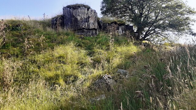
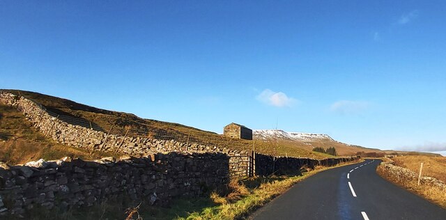
Aisgill Moor is a picturesque area located in Westmorland, a historic county in northwestern England. Stretching across a vast expanse of rolling hills and moorland, it is a place of natural beauty and tranquility. The moorland is characterized by its open grassy plains, dotted with occasional patches of heather and bracken, creating a mosaic of colors throughout the year.

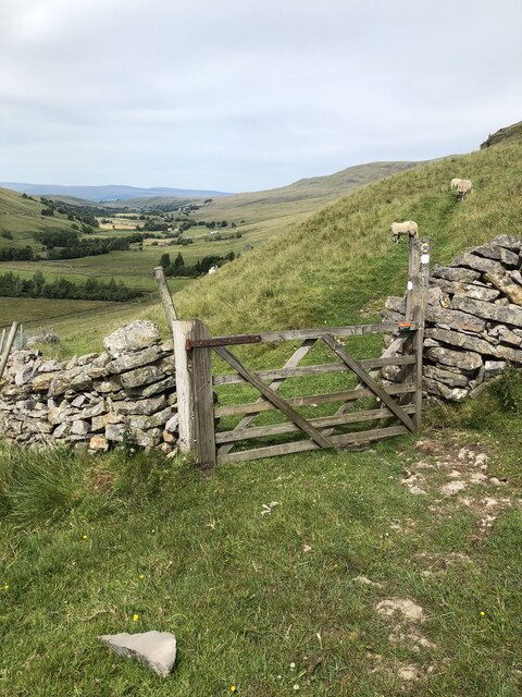
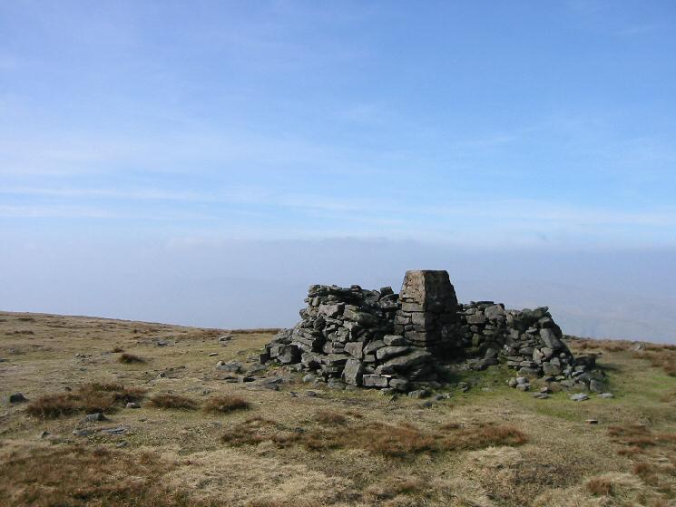
The terrain of Aisgill Moor comprises undulating slopes, with some areas rising to higher elevations offering breathtaking panoramic views of the surrounding countryside. The moorland is crisscrossed by numerous footpaths and trails, allowing visitors to explore the area and experience its unique charm. These paths provide access to the rugged beauty of the moor, enabling hikers and nature enthusiasts to witness the diverse wildlife that calls this place home.

The flora and fauna of Aisgill Moor are rich and varied, with species such as red grouse, curlews, and skylarks inhabiting the moorland. The area is also known for its diverse plant life, including cotton grass and bilberry bushes, which thrive in the acidic conditions of the moor.

Aisgill Moor's remote location adds to its appeal, as it offers visitors a chance to escape the hustle and bustle of everyday life and immerse themselves in the peacefulness of nature. Whether it be a leisurely stroll or a challenging hike, Aisgill Moor presents an opportunity to connect with the natural world and appreciate the unspoiled beauty of Westmorland's landscapes.

If you have any feedback on the listing, please let us know in the comments section below.

Aisgill Moor Images

Images are sourced within 2km of 54.365884/-2.362366 or Grid Reference SD7696. Thanks to Geograph Open Source API. All images are credited.

Barn in field on east side of B6259 at junction with footpath to How Beck Bridge The barn is now losing its roof: compare with 2013 photo <a href="https://www.geograph.org.uk/photo/3771178">SD7895 : Barn beside B6259 opposite White Birch Cottage</a>
Barn in field on east side of B6259 at junction with footpath to How Beck Bridge
The barn is now losing its roof: compare with 2013 photo SD7895 : Barn beside B6259 opposite White Birch Cottage
Rock outcrop and rowan tree on SE bank of Far Cote Gill The 1898 1:2500 Map shows an Ordnance Survey benchmark levelled at 1277.4 feet above Liverpool Datum near here, but unable to locate it
Rock outcrop and rowan tree on SE bank of Far Cote Gill
The 1898 1:2500 Map shows an Ordnance Survey benchmark levelled at 1277.4 feet above Liverpool Datum near here, but unable to locate it
Looking down Far Cote Gill to bridge taking B6259 over Settle-Carlisle Railway
Section of Ais Gill with flat bed near White Kirk
The B6259 near White Birch Cottage
Aisgill Moor Cottage
Telecoms Tower near Cotegill Railway Bridge
Aisgill Farm
Aisgill Farm
Rose Cottage at Angrholme
Arches of Aisgill Viaduct The viaduct is on the Settle to Carlisle line. The view is from the B6259 at Aisgill Farm across the property at Beckside Barn.
Aisgill is known for being the location of a crash in 1913 which killed 16 people, it happened just to the south of the viaduct - left in the image.
Arches of Aisgill Viaduct
The viaduct is on the Settle to Carlisle line. The view is from the B6259 at Aisgill Farm across the property at Beckside Barn. Aisgill is known for being the location of a crash in 1913 which killed 16 people, it happened just to the south of the viaduct - left in the image.
Hell Gill above Hellgill Force
Hellgill Force
Hellgill Force
Tree growing out of old kiln on Slade Edge
Gate on bridleway below Hanging Lund Scar
View along Mallerstang over Aisgill Farm Just visible, the smoke from 46100 Royal Scot heading a charter train from Carlisle to Crewe.
View along Mallerstang over Aisgill Farm
Just visible, the smoke from 46100 Royal Scot heading a charter train from Carlisle to Crewe.
Southbound steam charter passing Wild Boar Fell The locomotive is 46100 Royal Scot
Southbound steam charter passing Wild Boar Fell
The locomotive is 46100 Royal Scot
View towards Swarth Fell Pike
View from Nettle Brow towards Swarth Fell
Show me another place!

Aisgill Moor is located at Grid Ref: SD7696 (Lat: 54.365884, Lng: -2.362366)

Administrative County: Cumbria

District: Eden

Police Authority: Cumbria

What 3 Words

///heartened.apples.canines. Near Sedbergh, Cumbria

Nearby Locations

Aisgill Moor Foulmart Hill

Related Wikis

Related Videos

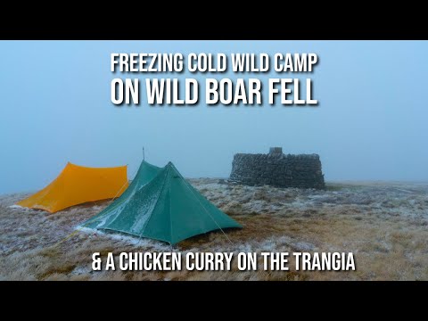
Freezing Cold Wild Camp on Wild Boar Fell & a Chicken Curry on the Trangia

Joined by my friend Ciaran, we headed for a wild camp on Wild Boar Fell in the Yorkshire Dales. The forecast predicted a cold ...

Wild Boar Fell

Another addition to the walking logs. This time a dander up on to Wild Boar Fell in the Howgills/Dales border. It was a great walk ...

Strong winds on Wild Boar Fell

Wet and windy conditions on the summit of Wild Boar Fell in the Yorkshire Dales National Park near Kirkby Stephen in England.

Swarth Fell

Finally the mad wind we have had recently has calmed down so off on to the tops I went today. A very nice wander on to Swarth ...

Nearby Amenities

Located within 500m of 54.365884,-2.362366
Aisgill Moor
Natural: moor
Source: NPE
Lat/Long: 54.3659999/-2.3647343
Foulmart Hill
Natural: peak
Source: OS OpenData StreetView
Lat/Long: 54.3661048/-2.3618432
Windy Hills
Place: locality
Lat/Long: 54.3663582/-2.3664243
Harry Mea
Place: locality
Lat/Long: 54.3652916/-2.3596651
The data included in this document is from www.openstreetmap.org. The data is made available under ODbL.

Have you been to Aisgill Moor?

Leave your review of Aisgill Moor below (or comments, questions and feedback).