Black Hill Moss
Downs, Moorland in Yorkshire South Lakeland
England
Black Hill Moss

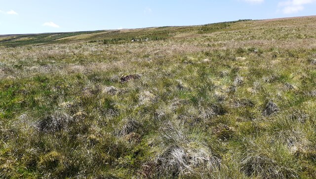
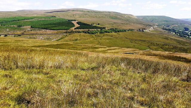
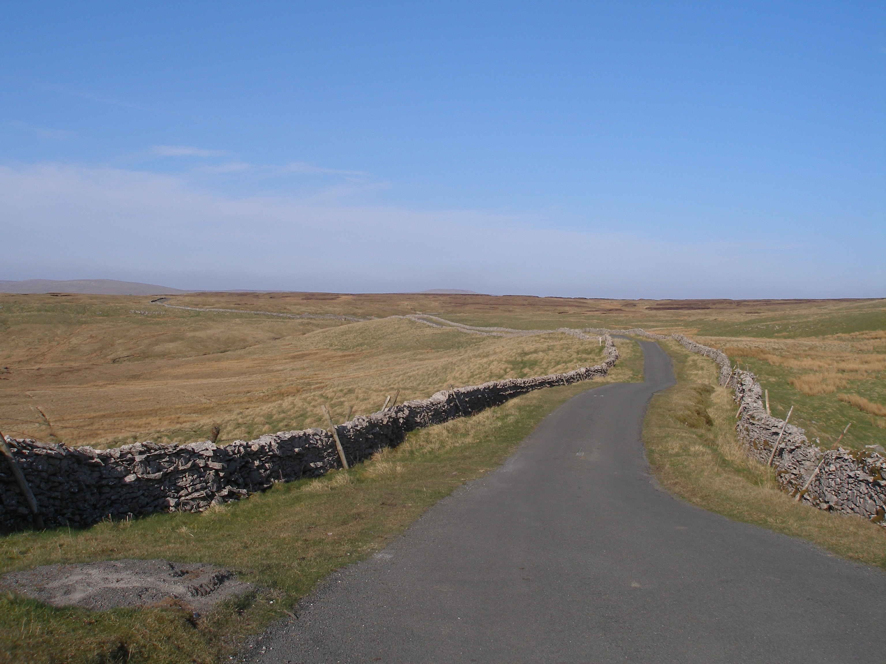
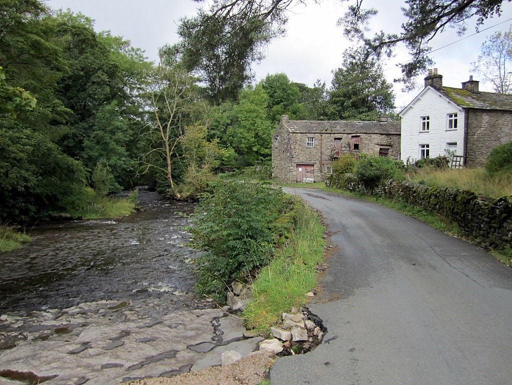
Black Hill Moss is a unique and fascinating natural feature located in Yorkshire, England. Situated within the Yorkshire Downs and Moorland, this area is renowned for its stunning landscapes and diverse wildlife. Black Hill Moss is a peat bog, characterized by its vast expanse of wet, waterlogged ground covered by a thick layer of Sphagnum moss.
The moss serves as a crucial component of the peat-forming process, absorbing rainwater and creating a highly acidic environment that slows down the decomposition of organic matter. This results in the accumulation of partially decomposed plant material known as peat. Black Hill Moss is estimated to be several meters deep, making it a significant reservoir of carbon.
The area is home to a variety of plant and animal species that have adapted to the unique conditions of the peat bog. Visitors can spot heather, cotton grass, and bog rosemary, among other plants, as they explore the surroundings. The bog is also a habitat for numerous bird species, including the red grouse, curlew, and golden plover, making it an attractive destination for birdwatchers.
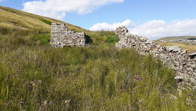
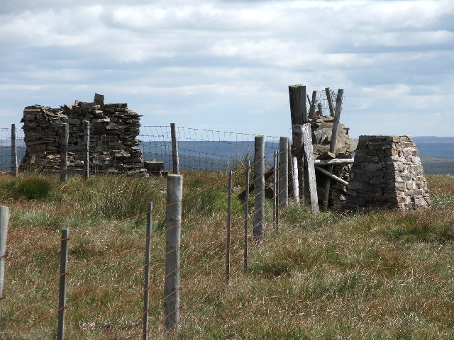
Black Hill Moss is a designated Site of Special Scientific Interest (SSSI) and is protected under national conservation laws. It offers a valuable opportunity for scientific research and education on peatland ecosystems and their role in carbon sequestration. Efforts have been made to restore and conserve the area, including the blocking of drainage channels to maintain the water table and prevent peat erosion.
Overall, Black Hill Moss is a striking example of the unique and fragile ecosystems found in the Yorkshire Downs and Moorland. Its beauty and ecological importance make it a must-visit destination for nature enthusiasts and researchers alike.
If you have any feedback on the listing, please let us know in the comments section below.
Black Hill Moss Images
Images are sourced within 2km of 54.293868/-2.3657891 or Grid Reference SD7688. Thanks to Geograph Open Source API. All images are credited.


Black Hill Moss is located at Grid Ref: SD7688 (Lat: 54.293868, Lng: -2.3657891)
Division: West Riding
Administrative County: Cumbria
District: South Lakeland
Police Authority: Cumbria
What 3 Words
///sprayer.strict.juggles. Near Sedbergh, Cumbria
Nearby Locations
Related Wikis

Rise Hill Tunnel
Rise Hill Tunnel is a 1,213-yard (1,109 m) long tunnel that takes the Settle–Carlisle line beneath Black Moss in Cumbria, England. It is the second longest...

Dent railway station
Dent is a railway station on the Settle and Carlisle Line, which runs between Carlisle and Leeds via Settle. The station, situated 58 miles 29 chains...

Garsdale
Garsdale is a dale or valley in the south east of Cumbria, England, historically a part of the West Riding of Yorkshire. It is now within the South Lakeland...

Cowgill, Cumbria
Cowgill is a village in Westmorland and Furness, Cumbria, England. It is within the historic boundaries of the West Riding of Yorkshire, and is located...

St John the Evangelist's Church, Cowgill
St John the Evangelist's Church is the Church of England parish church of the village of Cowgill, Cumbria, England. It is in the deanery of Kendal, the...
Coal Road
The Coal Road (also known as the Galloway Gate Road) is an unclassified highway which connects the railway stations at Garsdale and Dent in Cumbria, England...
Stone House, Cumbria
Stone House is a locality at Dent Head on the River Dee, in the county of Cumbria, England, to the south-east of Cowgill and to the north-west of Newby...
Great Knoutberry Hill
Great Knoutberry Hill, also commonly known as Widdale Fell, is a mountain located near Dent at the heads of Ribblesdale, Dentdale and Wensleydale, in the...
Nearby Amenities
Located within 500m of 54.293868,-2.3657891Have you been to Black Hill Moss?
Leave your review of Black Hill Moss below (or comments, questions and feedback).