Willoughbridge Park
Downs, Moorland in Staffordshire Newcastle-under-Lyme
England
Willoughbridge Park
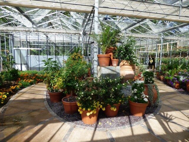
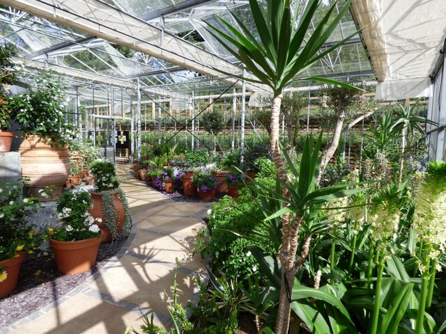
Willoughbridge Park, located in Staffordshire, England, is a picturesque area encompassing both downs and moorland landscapes. Spanning over a vast expanse of land, it offers visitors a diverse range of natural beauty and outdoor activities.
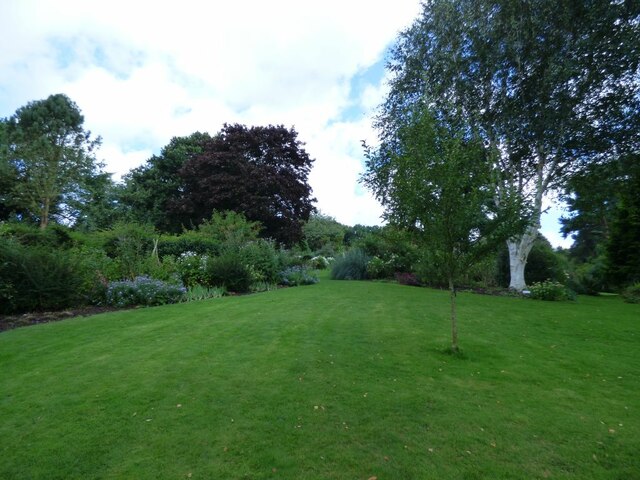
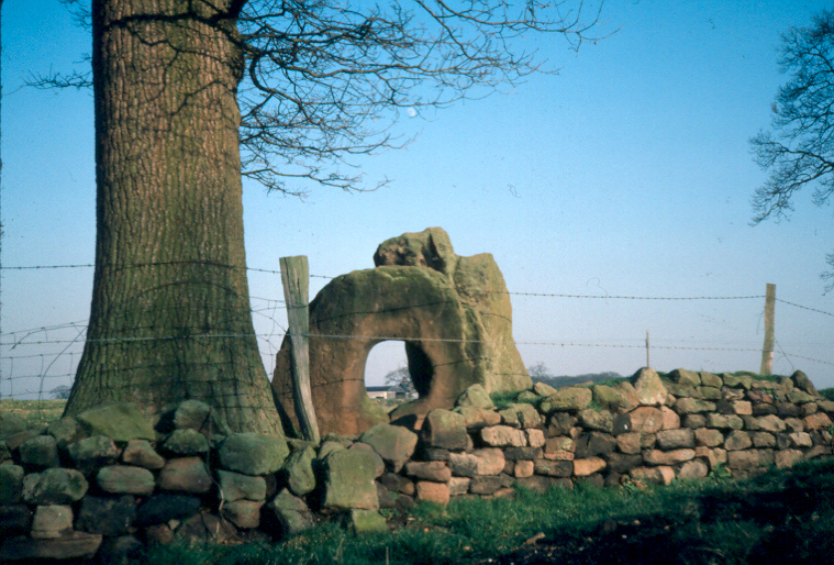
The downs of Willoughbridge Park are characterized by their gently rolling hills and lush green pastures. This area is perfect for leisurely walks and picnics, offering stunning panoramic views of the surrounding countryside. The downs are also home to a variety of wildlife, including rabbits, foxes, and a wide array of bird species, making it a popular spot for nature enthusiasts and birdwatchers.
On the other hand, the moorland of Willoughbridge Park presents a more rugged and untamed environment. This part of the park is characterized by its open expanses of heather and gorse, interspersed with rocky outcrops and small streams. It provides a unique habitat for a range of plant and animal species, including grouse and various species of wildflowers.
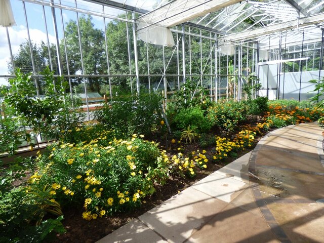
In addition to its natural beauty, Willoughbridge Park also offers a range of recreational activities for visitors. Walking trails crisscross the park, catering to all levels of fitness and providing opportunities for exploration and discovery. The park also has designated areas for camping, allowing visitors to immerse themselves in the tranquility of the surroundings.
Overall, Willoughbridge Park, Staffordshire, is a haven for nature lovers and outdoor enthusiasts. Its combination of downs and moorland landscapes, along with its diverse wildlife and recreational activities, make it a must-visit destination for those seeking a peaceful and immersive experience in nature.
If you have any feedback on the listing, please let us know in the comments section below.
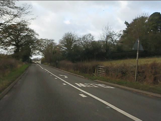
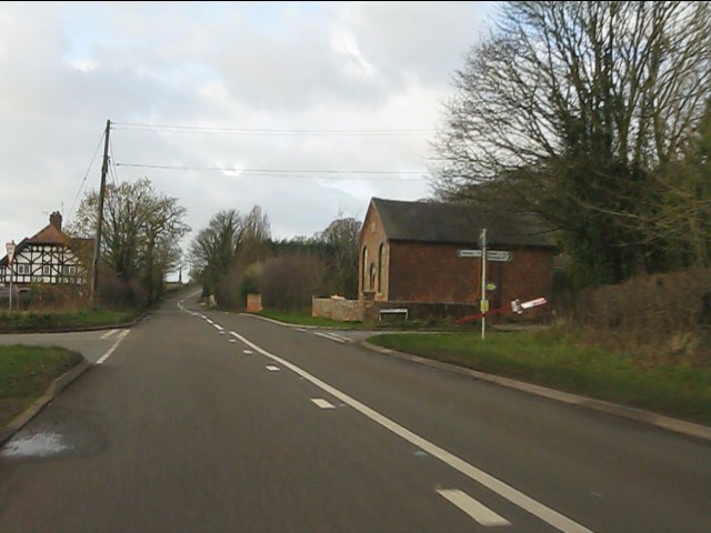
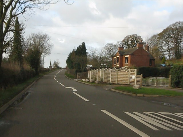
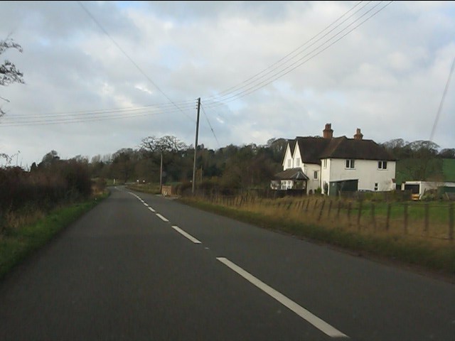
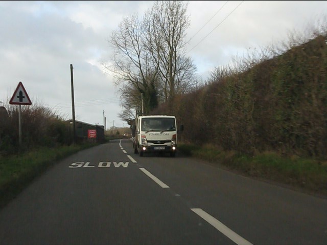
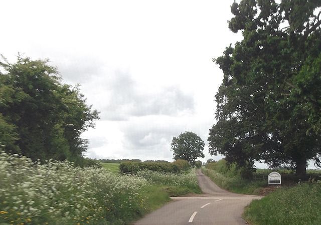
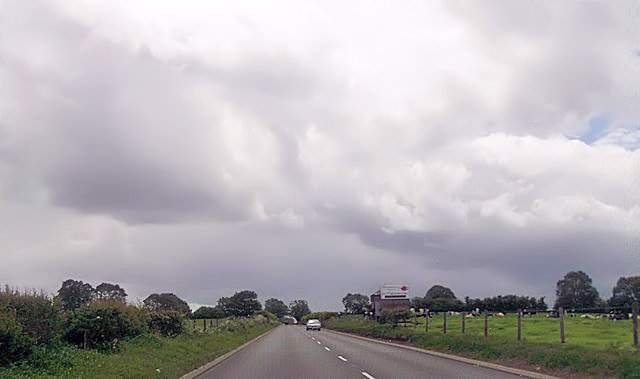
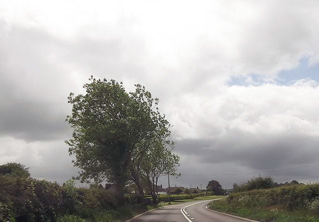
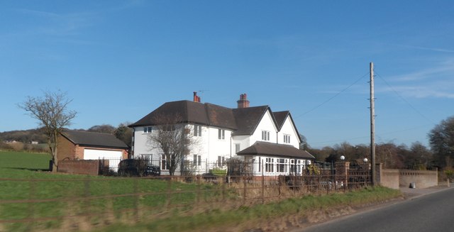
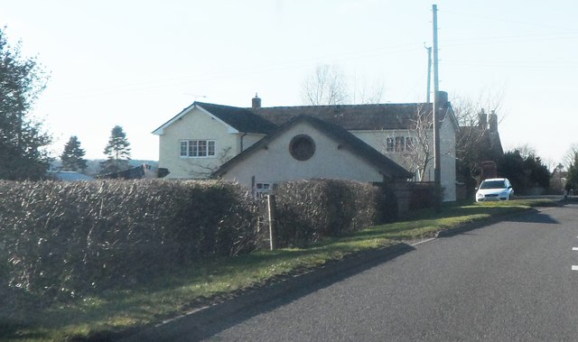
Willoughbridge Park Images
Images are sourced within 2km of 52.947724/-2.3734484 or Grid Reference SJ7538. Thanks to Geograph Open Source API. All images are credited.


Willoughbridge Park is located at Grid Ref: SJ7538 (Lat: 52.947724, Lng: -2.3734484)
Administrative County: Staffordshire
District: Newcastle-under-Lyme
Police Authority: Staffordshire
What 3 Words
///gossip.states.ruled. Near Madeley, Staffordshire
Nearby Locations
Related Wikis

Pipe Gate railway station
Pipe Gate was a railway station on the North Staffordshire Railway's Stoke to Market Drayton Line. == Construction == Construction was started on the Newcastle...

Knighton, Newcastle-under-Lyme
Knighton is a hamlet in north west Staffordshire, England, located in the Borough of Newcastle-under-Lyme. It is surrounded to the west, north and east...
Newcastle-under-Lyme Rural District
Newcastle-under-Lyme Rural District was a rural district in the county of Staffordshire. It was formed in 1894 with the civil parishes of Ashley, Audley...
Bearstone
Bearstone is a hamlet in Shropshire, England. For population details as taken at the 2011 census see Woore (Shropshire).

Ireland's Cross
Ireland's Cross is a small hamlet in the civil parish of Woore in Shropshire, England. == References ==

Ashley, Staffordshire
Ashley is a village and former civil parish, now in the parish of Loggerheads, in the Newcastle-under-Lyme district, in the county of Staffordshire, England...
Mucklestone
Mucklestone is a village and former civil parish, now in the parish of Loggerheads, in the Newcastle-under-Lyme district, in the county of Staffordshire...
Loggerheads, Staffordshire
Loggerheads is a village and civil parish in north-west Staffordshire, England, on the A53 between Market Drayton and Newcastle-under-Lyme. == Name... ==
Nearby Amenities
Located within 500m of 52.947724,-2.3734484Have you been to Willoughbridge Park?
Leave your review of Willoughbridge Park below (or comments, questions and feedback).