Black Moss
Downs, Moorland in Kincardineshire
Scotland
Black Moss

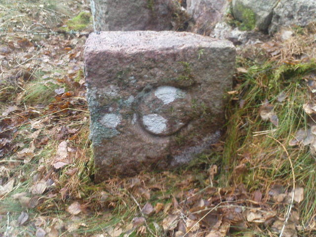
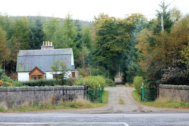
Located in Kincardineshire, Scotland, Black Moss is a vast expanse of downs and moorland that stretches across approximately 500 acres of land. Situated amidst the rolling hills and valleys of the region, this natural area offers a unique and picturesque landscape for visitors to explore.
Black Moss is characterized by its rich, peaty soil, which results in a distinctive dark coloration of the land. The area is predominantly covered in heather, a flowering plant that gives the moorland a beautiful purple hue during the summer months. In addition to heather, Black Moss is also home to a variety of other plant species, including cotton grass, bilberry, and bog myrtle.
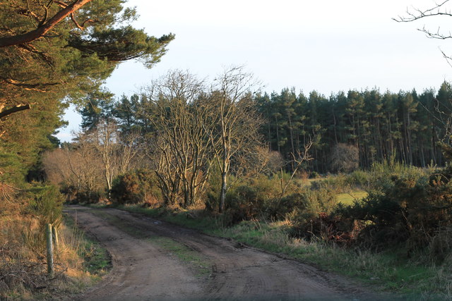
The downs of Black Moss provide visitors with stunning panoramic views of the surrounding countryside, offering glimpses of distant hills, forests, and even the North Sea. The undulating terrain of the downs creates a sense of tranquility and solitude, making it a popular spot for those seeking a peaceful retreat from the hustle and bustle of everyday life.
The moorland of Black Moss is an important habitat for several bird species, including grouse, skylarks, and meadow pipits. Visitors may have the opportunity to spot these birds soaring through the skies or perched on the heather-covered ground.
With its natural beauty and serene atmosphere, Black Moss offers visitors a chance to connect with nature and immerse themselves in the idyllic Scottish countryside. The area is popular among hikers, nature enthusiasts, and photographers, who are drawn to its unique landscape and breathtaking views.
If you have any feedback on the listing, please let us know in the comments section below.
Black Moss Images
Images are sourced within 2km of 57.09141/-2.4257551 or Grid Reference NJ7400. Thanks to Geograph Open Source API. All images are credited.


Black Moss is located at Grid Ref: NJ7400 (Lat: 57.09141, Lng: -2.4257551)
Unitary Authority: Aberdeenshire
Police Authority: North East
What 3 Words
///hotels.panic.clockwork. Near Banchory, Aberdeenshire
Nearby Locations
Related Wikis
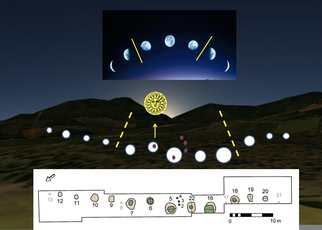
Warren Field
Warren Field is the location of a mesolithic calendar monument built about 8,000 BCE. It includes 12 pits believed to correlate with phases of the Moon...

Crathes Castle
Crathes Castle (pronounced KRATH-iss) is a castle, built in the 16th-century, near Banchory in Aberdeenshire, Scotland. It is in the historic county of...

Mills of Drum railway station
Mills of Drum railway station was opened in September 1853 by the Deeside Railway and served the rural area around Park House and Crathes estates at the...

Royal Deeside Railway
The Royal Deeside Railway is a Scottish heritage railway located at Milton of Crathes railway station on a part of the original Deeside Railway. ��2�...
Nearby Amenities
Located within 500m of 57.09141,-2.4257551Have you been to Black Moss?
Leave your review of Black Moss below (or comments, questions and feedback).