Hangingshaw
Settlement in Renfrewshire
Scotland
Hangingshaw

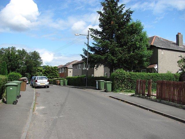
Hangingshaw is a small village located in the council area of Renfrewshire, Scotland. Situated approximately 10 miles southwest of Paisley, it is nestled amidst the picturesque Scottish countryside. The village is surrounded by rolling hills, green fields, and dense woodlands, making it an ideal location for nature enthusiasts and those seeking a peaceful retreat.
Hangingshaw is characterized by its quaint charm and close-knit community. The village primarily consists of traditional stone cottages and a scattering of modern houses. A small, picturesque stream runs through the village, adding to its natural beauty.
Although Hangingshaw is a relatively small settlement, it offers essential amenities to its residents. These include a local convenience store, a primary school, and a village hall that serves as a central gathering place for community events and activities.
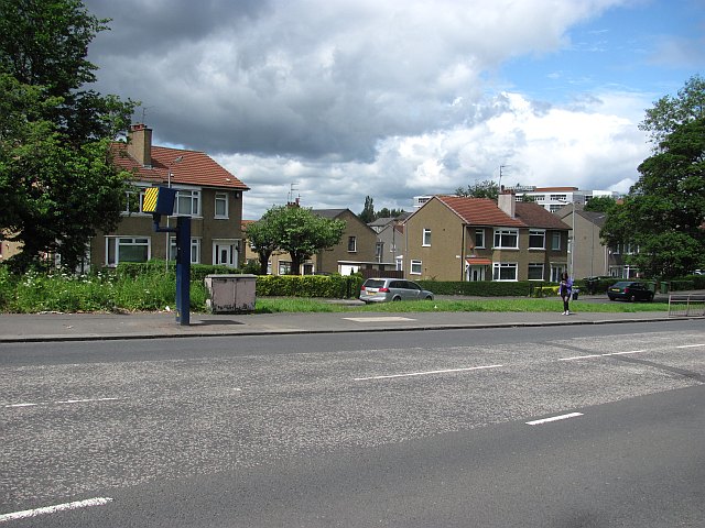
The village is well-connected to nearby towns and cities via road networks, making it easily accessible for commuters. Additionally, Hangingshaw benefits from its proximity to larger urban areas, which provide a wider range of services and employment opportunities.
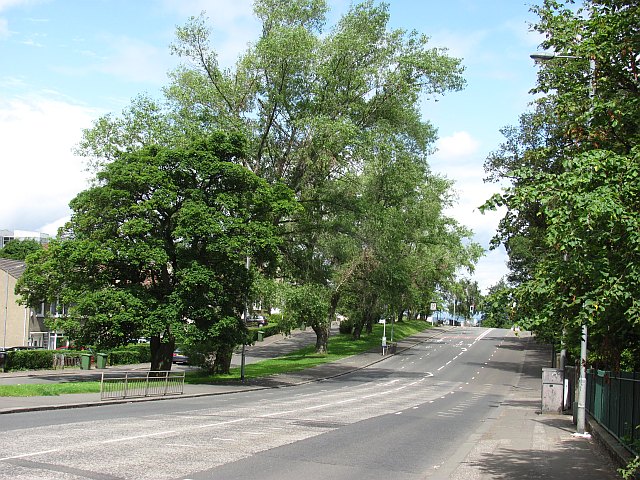
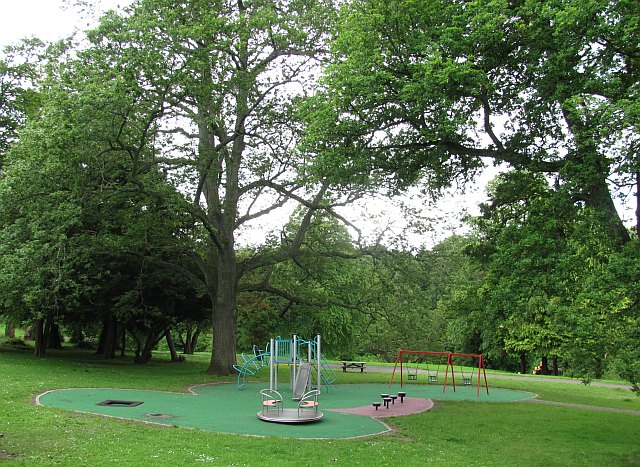
For outdoor enthusiasts, Hangingshaw offers a plethora of recreational activities. The surrounding countryside provides ample opportunities for hiking, cycling, and horseback riding. The nearby Gleniffer Braes Country Park offers stunning panoramic views and walking trails for visitors to enjoy.
Overall, Hangingshaw is a peaceful and picturesque village, offering a high quality of life for its residents while benefiting from its close proximity to urban amenities and natural beauty.
If you have any feedback on the listing, please let us know in the comments section below.
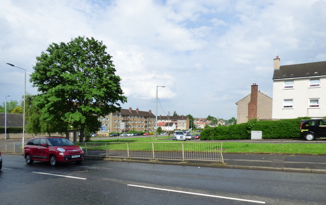
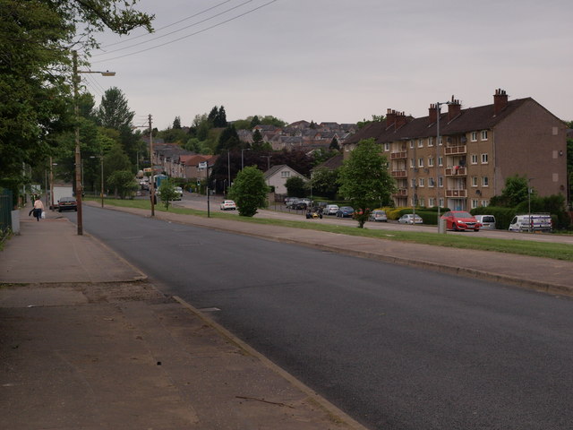
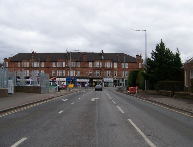
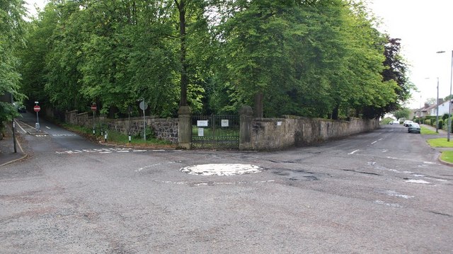
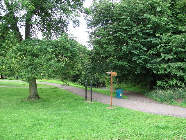
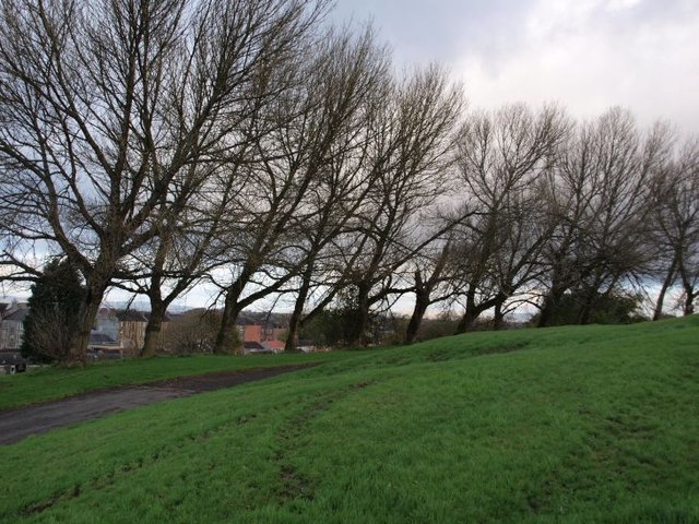
Hangingshaw Images
Images are sourced within 2km of 55.821596/-4.2521431 or Grid Reference NS5961. Thanks to Geograph Open Source API. All images are credited.


Hangingshaw is located at Grid Ref: NS5961 (Lat: 55.821596, Lng: -4.2521431)
Unitary Authority: City of Glasgow
Police Authority: Greater Glasgow
What 3 Words
///owner.cycles.trade. Near Rutherglen, South Lanarkshire
Nearby Locations
Related Wikis

Mount Florida
Mount Florida (Scottish Gaelic: Cnoc Florida) is an area in the south-east of the city of Glasgow, Scotland. == Origins == The Glasgow district of Mount...

Cathcart Old Church
Cathcart Old Church is a Parish church of the Church of Scotland, located between the Cathcart and King's Park areas of Glasgow. == Previous Churches... ==
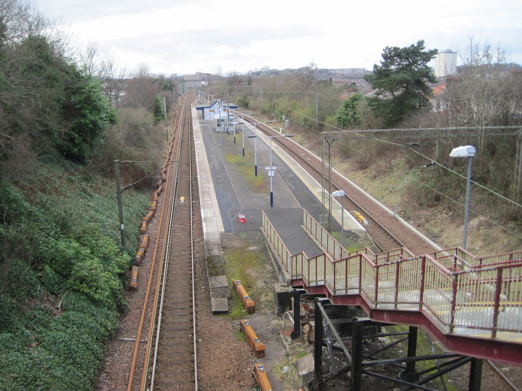
King's Park railway station
King's Park railway station is a railway station serving the King's Park and Simshill areas of Glasgow, Scotland. It is located on the Newton branch of...
Scottish Football Hall of Fame
The Scottish Football Hall of Fame is located at the Scottish Football Museum. Nominations are made each year by fans and a committee selects the inductees...
Scottish Football Museum
The Scottish Football Museum is Scotland’s national museum of association football, located in Hampden Park in Glasgow. == The Museum == The museum houses...
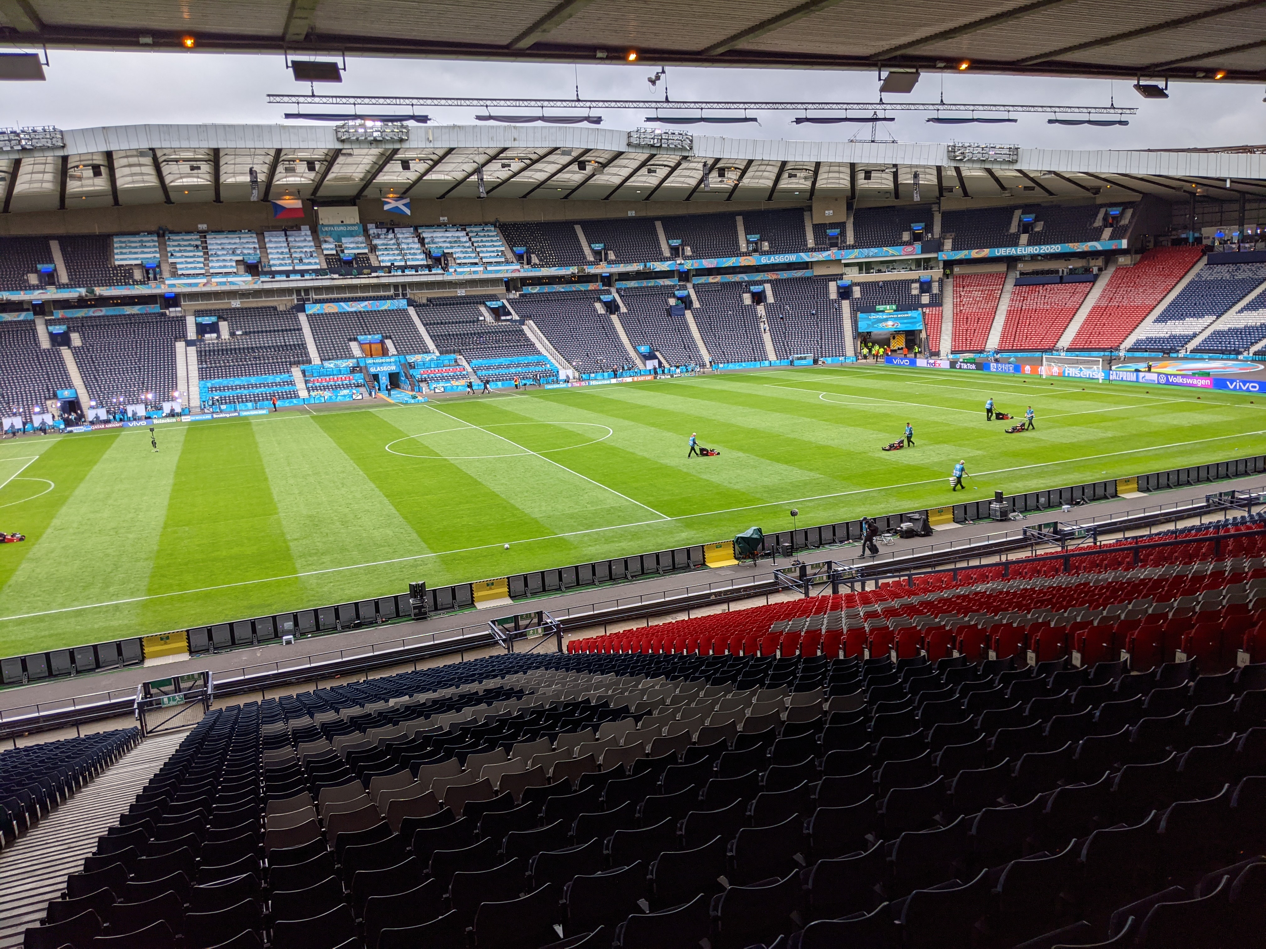
Hampden Park
Hampden Park (Scottish Gaelic: Pàirc Hampden) is a football stadium in the Mount Florida area of Glasgow, Scotland, which is the national stadium of football...
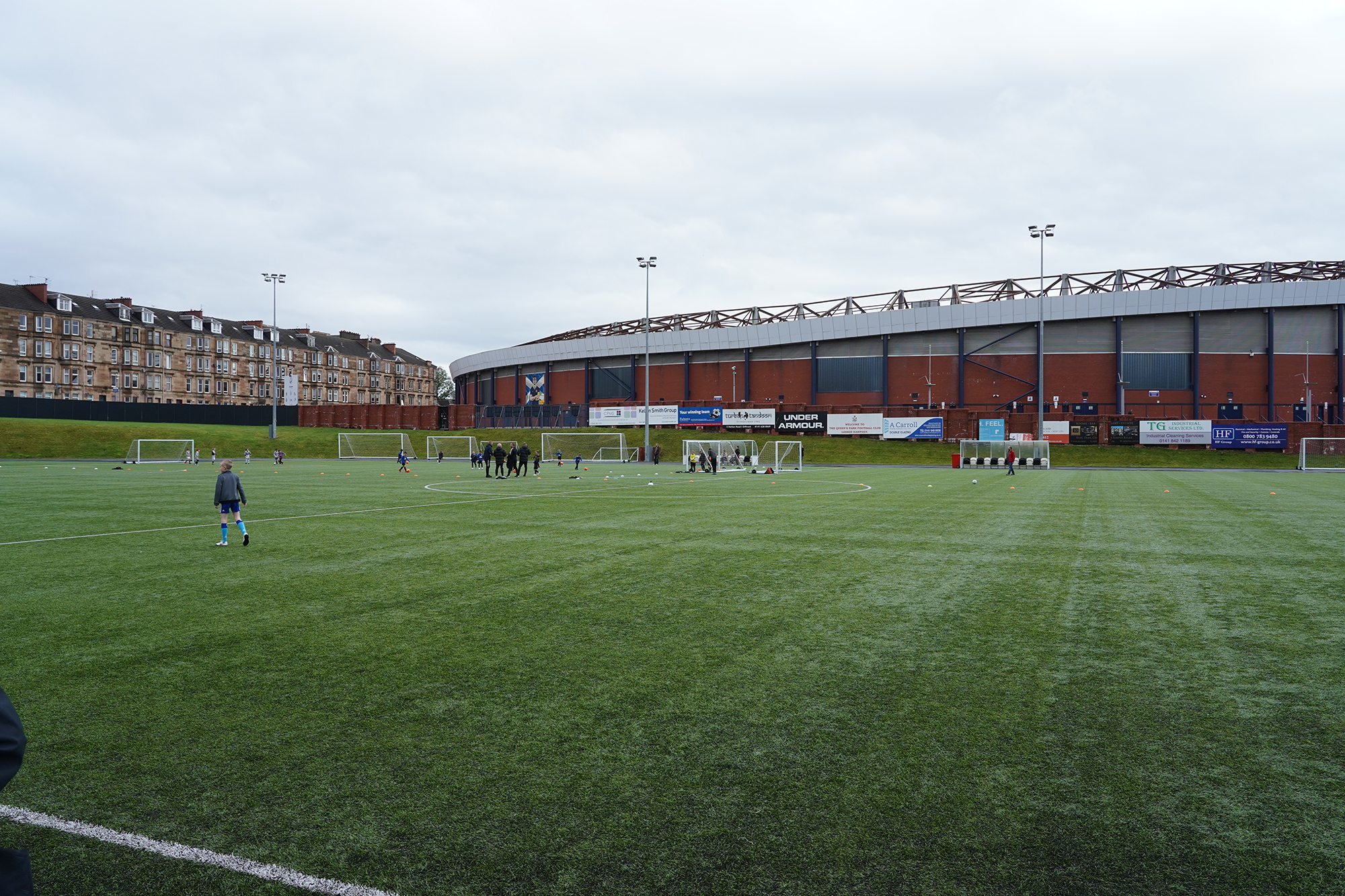
Lesser Hampden
Lesser Hampden (currently known as The City Stadium for sponsorship reasons) is a football stadium in Mount Florida, Glasgow, Scotland, which is located...

Holmlea Primary School
Holmlea Primary School is a Category B listed former school in Glasgow. It was built in 1908 and closed in 2005. The building lay empty for several years...
Nearby Amenities
Located within 500m of 55.821596,-4.2521431Have you been to Hangingshaw?
Leave your review of Hangingshaw below (or comments, questions and feedback).