Bradford Fell
Downs, Moorland in Yorkshire Ribble Valley
England
Bradford Fell
Bradford Fell, Yorkshire, is a picturesque area situated in the northern part of England, renowned for its stunning landscape featuring a combination of downs and moorland. Covering a vast expanse of land, Bradford Fell offers visitors a unique blend of natural beauty and cultural heritage.
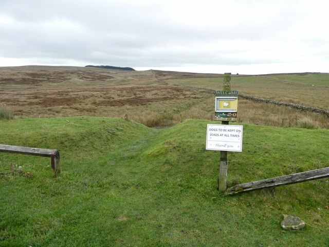
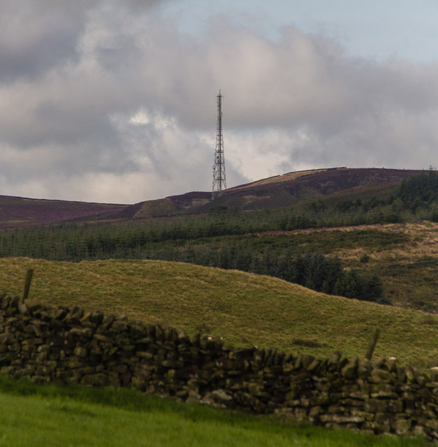
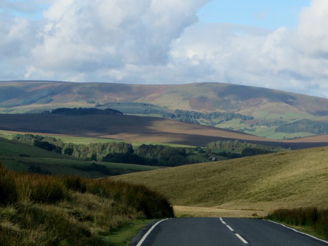
The downs of Bradford Fell are characterized by their gently rolling hills, lush greenery, and vast open spaces. These areas provide excellent opportunities for outdoor activities such as hiking, picnicking, and wildlife observation. The downs are known for their breathtaking views, especially during sunrise and sunset, where the golden hues of the sky merge with the stunning landscape.
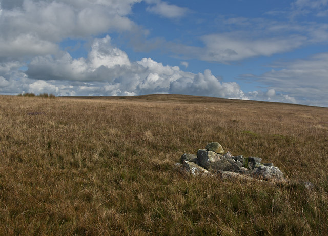
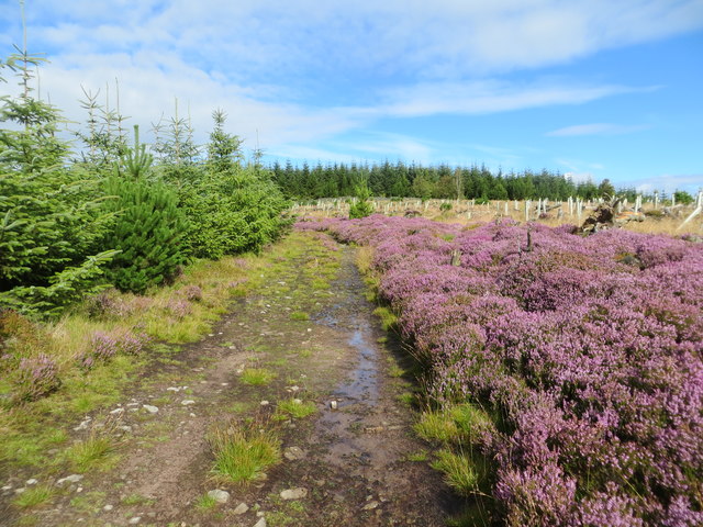
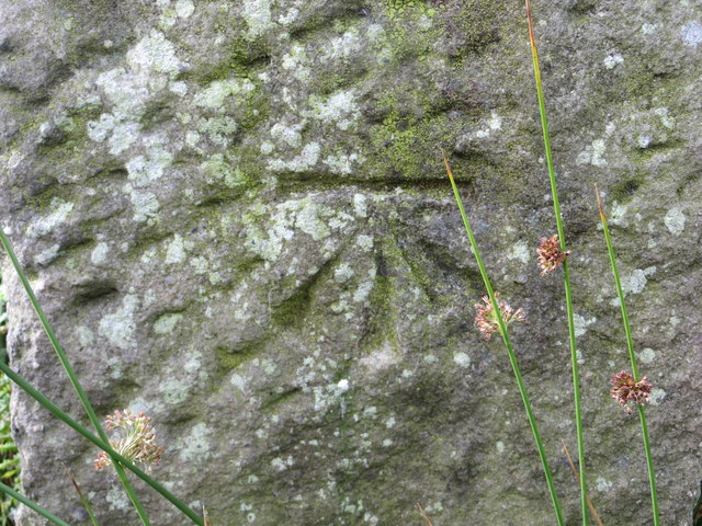
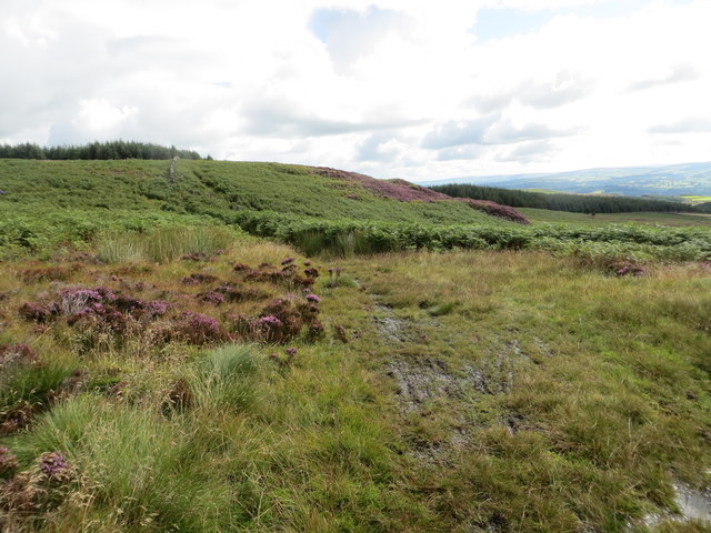
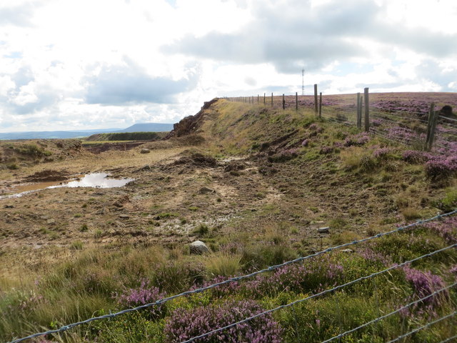
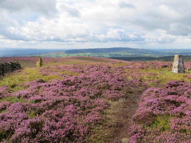
On the other hand, the moorland of Bradford Fell showcases a more rugged and wild environment. This area is characterized by its expansive stretches of heather and bracken, interspersed with rocky outcrops and streams. Moorland wildlife is abundant, with species such as grouse, curlew, and red deer being commonly sighted. The moorland is also home to several ancient landmarks, including burial mounds and standing stones, which offer a glimpse into the rich history of the region.
In addition to its natural beauty, Bradford Fell is dotted with charming villages and historic towns that provide a glimpse into the local culture. These settlements boast traditional stone cottages, quaint shops, and welcoming pubs where visitors can indulge in local cuisine and experience the warm hospitality of the locals.
Overall, Bradford Fell, Yorkshire, is a destination that offers a diverse range of natural landscapes, from the gentle downs to the wild moorland, making it a must-visit location for nature enthusiasts and those seeking a serene and idyllic escape.
If you have any feedback on the listing, please let us know in the comments section below.
Bradford Fell Images
Images are sourced within 2km of 53.926234/-2.4151637 or Grid Reference SD7247. Thanks to Geograph Open Source API. All images are credited.


Bradford Fell is located at Grid Ref: SD7247 (Lat: 53.926234, Lng: -2.4151637)
Division: West Riding
Administrative County: Lancashire
District: Ribble Valley
Police Authority: Lancashire
What 3 Words
///continues.bystander.fools. Near Waddington, Lancashire
Nearby Locations
Related Wikis

Easington Fell
Easington Fell is a Marilyn in the Forest of Bowland in Lancashire, England. It has been surveyed to be 70 cm higher than a nearby fell of almost identical...

Eaves Hall
Eaves Hall was built in 1864 for John Burton (1809–1879), first son of James Burton and a wealthy cotton mill-owner.Sold by the Burtons in 1938, having...

Newton-in-Bowland
Newton or Newton-in-Bowland is a village and civil parish in the Ribble Valley district, in the county of Lancashire, England, formerly known as Newton...

Grindleton
Grindleton is a village and civil parish in the Ribble Valley district of the English county of Lancashire, formerly in the West Riding of Yorkshire. Its...

Grindletonians
The Grindletonians were a Puritan sect that arose in the town of Grindleton in Lancashire, England, in around 1610. The sect remained active in the North...

West Bradford, Lancashire
West Bradford is a village and civil parish in Lancashire, England, 2.5 miles (4 km) north of Clitheroe. The population at the 2011 census was 788. It...

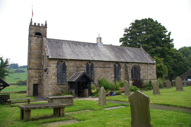
St Helen's Church, Waddington
St Helen's Church is in the village of Waddington, Lancashire, England. It is an active Anglican parish church in the deanery of Whalley, the archdeaconry...
St Ambrose's Church, Grindleton
St Ambrose's Church is in the village of Grindleton, which is situated about 3 miles (5 km) northeast of Clitheroe, Lancashire, England. It is an active...
Related Videos
Adventure Therapy: Albert Einstein
In this series of videos, Phil (The Ride Guide) will be discussing some of the thinking behind his adventure therapy rides.
Nearby Amenities
Located within 500m of 53.926234,-2.4151637Have you been to Bradford Fell?
Leave your review of Bradford Fell below (or comments, questions and feedback).