Bridge of Kingsford

Downs, Moorland in Aberdeenshire

Scotland

Bridge of Kingsford

Old Steading Part of the old steading at East Pitdoulzie.
Old Steading Credit: Andrew Wood

The Bridge of Kingsford is a historical landmark located in Aberdeenshire, Scotland. Situated in the Downs area, the bridge is surrounded by picturesque moorland scenery. It is a stone bridge that spans across a gentle river, serving as a crucial link between two areas of the region.

The bridge is believed to have been constructed in the 18th century and has stood the test of time, serving as an important transportation route for locals and visitors alike. Its solid stone construction and arched design make it a visually striking feature in the landscape.

The Bridge of Kingsford offers a tranquil setting for leisurely walks, with its surrounding moorland providing a scenic backdrop for nature enthusiasts. The area is known for its abundance of wildlife, including various bird species and small mammals, making it a popular spot for birdwatching and nature photography.

The bridge is also of historical importance, as it is said to have played a role in local trade and commerce during its early years. It has witnessed the passage of time and the changing landscape of Aberdeenshire, serving as a testament to the region's rich history.

Visitors to the Bridge of Kingsford can enjoy the peaceful ambiance of the moorland, take in the beautiful views, and appreciate the craftsmanship of the bridge itself. It is a place where history, nature, and tranquility converge, offering a unique experience for those who venture to this hidden gem in Aberdeenshire.

If you have any feedback on the listing, please let us know in the comments section below.

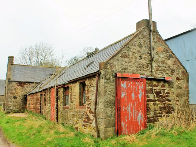
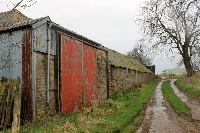
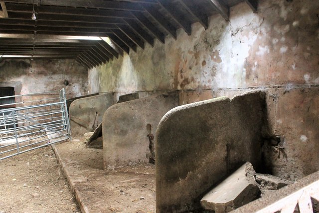
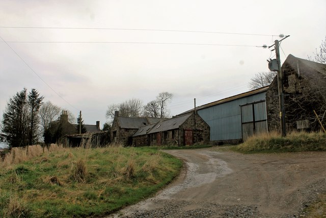
Bridge of Kingsford Images

Images are sourced within 2km of 57.494363/-2.4595992 or Grid Reference NJ7244. Thanks to Geograph Open Source API. All images are credited.

Old Steading Part of the old steading at East Pitdoulzie.
Old Steading
Part of the old steading at East Pitdoulzie.
Pitdoulzie Steading A big barn door and low buildings  alongside a muddy track at the largely disused East Pitdoulzie farm.
Pitdoulzie Steading
A big barn door and low buildings alongside a muddy track at the largely disused East Pitdoulzie farm.
Auld Byre The disused stalls of the byre at East Pitdoulzie.
Auld Byre
The disused stalls of the byre at East Pitdoulzie.
East Pitdoulzie The approach to the sad and neglected farm of East Pitdoulzie. The farmland is leased out and the corporate owners have little use for the old steading.
East Pitdoulzie
The approach to the sad and neglected farm of East Pitdoulzie. The farmland is leased out and the corporate owners have little use for the old steading.
Corrydown Recumbent Stone Circle (1) This circle has been disturbed, and only the recumbent, the furthest right in this view, remains in its original position. See <span class="nowrap"><a title="http://canmore.rcahms.gov.uk/en/site/19197/details/corrydown/" rel="nofollow ugc noopener" href="http://canmore.rcahms.gov.uk/en/site/19197/details/corrydown/">Link</a><img style="margin-left:2px;" alt="External link" title="External link - shift click to open in new window" src="https://s1.geograph.org.uk/img/external.png" width="10" height="10"/></span> for a fuller description. <a href="https://www.geograph.org.uk/photo/4423393">NJ7044 : Corrydown Recumbent Stone Circle (2)</a>
Corrydown Recumbent Stone Circle (1)
This circle has been disturbed, and only the recumbent, the furthest right in this view, remains in its original position. See LinkExternal link for a fuller description. NJ7044 : Corrydown Recumbent Stone Circle (2)
Corrydown Recumbent Stone Circle (2) The large stone on the right is the recumbent, the only stone of the circle that is still in its original position. On its left is one of the flankers, no longer standing upright. See <span class="nowrap"><a title="http://canmore.rcahms.gov.uk/en/site/19197/details/corrydown/" rel="nofollow ugc noopener" href="http://canmore.rcahms.gov.uk/en/site/19197/details/corrydown/">Link</a><img style="margin-left:2px;" alt="External link" title="External link - shift click to open in new window" src="https://s1.geograph.org.uk/img/external.png" width="10" height="10"/></span> for a fuller description. <a href="https://www.geograph.org.uk/photo/4423399">NJ7044 : Corrydown Recumbent Stone Circle (3)</a>
Corrydown Recumbent Stone Circle (2)
The large stone on the right is the recumbent, the only stone of the circle that is still in its original position. On its left is one of the flankers, no longer standing upright. See LinkExternal link for a fuller description. NJ7044 : Corrydown Recumbent Stone Circle (3)
Corrydown Recumbent Stone Circle (3) The closest stone is the recumbent, which is the only one in its original position. Behind and to its right is one of the flankers and to its right again one of the small stones thought to have symbolised the entrance to a tomb. Another fallen stone is at the far corner of the fenced enclosure. See <span class="nowrap"><a title="http://canmore.rcahms.gov.uk/en/site/19197/details/corrydown/" rel="nofollow ugc noopener" href="http://canmore.rcahms.gov.uk/en/site/19197/details/corrydown/">Link</a><img style="margin-left:2px;" alt="External link" title="External link - shift click to open in new window" src="https://s1.geograph.org.uk/img/external.png" width="10" height="10"/></span> for a fuller description. <a href="https://www.geograph.org.uk/photo/4423405">NJ7044 : Corrydown Recumbent Stone Circle (4)</a>
Corrydown Recumbent Stone Circle (3)
The closest stone is the recumbent, which is the only one in its original position. Behind and to its right is one of the flankers and to its right again one of the small stones thought to have symbolised the entrance to a tomb. Another fallen stone is at the far corner of the fenced enclosure. See LinkExternal link for a fuller description. NJ7044 : Corrydown Recumbent Stone Circle (4)
Corrydown Recumbent Stone Circle (4) The closest stone is one of the flankers, which would originally have stood upright and would have been paired with a similar stone at the other end of the recumbent, which is visible behind it and is the only stone still in situ. See <span class="nowrap"><a title="http://canmore.rcahms.gov.uk/en/site/19197/details/corrydown/" rel="nofollow ugc noopener" href="http://canmore.rcahms.gov.uk/en/site/19197/details/corrydown/">Link</a><img style="margin-left:2px;" alt="External link" title="External link - shift click to open in new window" src="https://s1.geograph.org.uk/img/external.png" width="10" height="10"/></span> for a fuller description. <a href="https://www.geograph.org.uk/photo/4423414">NJ7044 : Corrydown Recumbent Stone Circle (5)</a>
Corrydown Recumbent Stone Circle (4)
The closest stone is one of the flankers, which would originally have stood upright and would have been paired with a similar stone at the other end of the recumbent, which is visible behind it and is the only stone still in situ. See LinkExternal link for a fuller description. NJ7044 : Corrydown Recumbent Stone Circle (5)
Corrydown Recumbent Stone Circle (5) Most of the stones of the Corrydown circle are coarse-grained conglomerate with pebble-sized white quartz clasts. This is part of the flanker. The recumbent, however, is of a different rock type. Pound coin for scale. Compare with <a href="https://www.geograph.org.uk/photo/4423423">NJ7044 : Corrydown Recumbent Stone Circle (6)</a>. See <span class="nowrap"><a title="http://canmore.rcahms.gov.uk/en/site/19197/details/corrydown/" rel="nofollow ugc noopener" href="http://canmore.rcahms.gov.uk/en/site/19197/details/corrydown/">Link</a><img style="margin-left:2px;" alt="External link" title="External link - shift click to open in new window" src="https://s1.geograph.org.uk/img/external.png" width="10" height="10"/></span> for a fuller description.
Corrydown Recumbent Stone Circle (5)
Most of the stones of the Corrydown circle are coarse-grained conglomerate with pebble-sized white quartz clasts. This is part of the flanker. The recumbent, however, is of a different rock type. Pound coin for scale. Compare with NJ7044 : Corrydown Recumbent Stone Circle (6). See LinkExternal link for a fuller description.
Corrydown Recumbent Stone Circle (6) This is part of the recumbent. Comparing it with <a href="https://www.geograph.org.uk/photo/4423414">NJ7044 : Corrydown Recumbent Stone Circle (5)</a>, it is obviously a finer-grained rock, lacking the white quartz clasts. The white quartz in the lower part of this view is the remains of a vein formed in a crack in the rock after it had formed. Pound coin for scale. See <span class="nowrap"><a title="http://canmore.rcahms.gov.uk/en/site/19197/details/corrydown/" rel="nofollow ugc noopener" href="http://canmore.rcahms.gov.uk/en/site/19197/details/corrydown/">Link</a><img style="margin-left:2px;" alt="External link" title="External link - shift click to open in new window" src="https://s1.geograph.org.uk/img/external.png" width="10" height="10"/></span> for a fuller description. <a href="https://www.geograph.org.uk/photo/4423427">NJ7044 : Corrydown Recumbent Stone Circle (7)</a>
Corrydown Recumbent Stone Circle (6)
This is part of the recumbent. Comparing it with NJ7044 : Corrydown Recumbent Stone Circle (5), it is obviously a finer-grained rock, lacking the white quartz clasts. The white quartz in the lower part of this view is the remains of a vein formed in a crack in the rock after it had formed. Pound coin for scale. See LinkExternal link for a fuller description. NJ7044 : Corrydown Recumbent Stone Circle (7)
Corrydown Recumbent Stone Circle (7) These are the remaining stones in the north arc of the circle. They have all been displaced and are lying on the ground instead of standing up. See <span class="nowrap"><a title="http://canmore.rcahms.gov.uk/en/site/19197/details/corrydown/" rel="nofollow ugc noopener" href="http://canmore.rcahms.gov.uk/en/site/19197/details/corrydown/">Link</a><img style="margin-left:2px;" alt="External link" title="External link - shift click to open in new window" src="https://s1.geograph.org.uk/img/external.png" width="10" height="10"/></span> for a fuller description.  <a href="https://www.geograph.org.uk/photo/4423432">NJ7044 : Corrydown Recumbent Stone Circle (8)</a>
Corrydown Recumbent Stone Circle (7)
These are the remaining stones in the north arc of the circle. They have all been displaced and are lying on the ground instead of standing up. See LinkExternal link for a fuller description. NJ7044 : Corrydown Recumbent Stone Circle (8)
Corrydown Recumbent Stone Circle (8) This is the reciprocal of the view in <a href="https://www.geograph.org.uk/photo/4423399">NJ7044 : Corrydown Recumbent Stone Circle (3)</a>, with the recumbent appearing taller than the flanker in front of it, and the other stones, also fallen or displaced. See <span class="nowrap"><a title="http://canmore.rcahms.gov.uk/en/site/19197/details/corrydown/" rel="nofollow ugc noopener" href="http://canmore.rcahms.gov.uk/en/site/19197/details/corrydown/">Link</a><img style="margin-left:2px;" alt="External link" title="External link - shift click to open in new window" src="https://s1.geograph.org.uk/img/external.png" width="10" height="10"/></span> for a fuller description. <a href="https://www.geograph.org.uk/photo/4423382">NJ7044 : Corrydown Recumbent Stone Circle (1)</a>
Corrydown Recumbent Stone Circle (8)
This is the reciprocal of the view in NJ7044 : Corrydown Recumbent Stone Circle (3), with the recumbent appearing taller than the flanker in front of it, and the other stones, also fallen or displaced. See LinkExternal link for a fuller description. NJ7044 : Corrydown Recumbent Stone Circle (1)
Upper Oldmill These fields have already been harvested and ploughed, before some of the surrounding ones have even ripened.
Upper Oldmill
These fields have already been harvested and ploughed, before some of the surrounding ones have even ripened.
Upper Oldmill There is a sharp contrast between the ploughed land in the foreground and the stubble fields beyond.
Upper Oldmill
There is a sharp contrast between the ploughed land in the foreground and the stubble fields beyond.
Woodhead of Laithers This field has already been planted with next year's crop.
Woodhead of Laithers
This field has already been planted with next year's crop.
Craigietocher Though this field has been mowed, a strip of red clover has been left at one edge. The farm buildings at Craigietocher are at the far side of the field.
Craigietocher
Though this field has been mowed, a strip of red clover has been left at one edge. The farm buildings at Craigietocher are at the far side of the field.
Quarry Farm Straw bales surround the buildings at Quarry Farm. Most of the farm is in the next square, but the nearest house is in square.
Quarry Farm
Straw bales surround the buildings at Quarry Farm. Most of the farm is in the next square, but the nearest house is in square.
Quarry Farm Cattle and cereals are among the products of this mixed farm.
Quarry Farm
Cattle and cereals are among the products of this mixed farm.
Show me another place!

Bridge of Kingsford is located at Grid Ref: NJ7244 (Lat: 57.494363, Lng: -2.4595992)

Unitary Authority: Aberdeenshire

Police Authority: North East

What 3 Words

///waters.alley.times. Near Turriff, Aberdeenshire

Nearby Locations

Bridge of Kingsford

Related Wikis

Auchterless railway station

Auchterless railway station was a railway station in Auchterless, Aberdeenshire. It served the rural area, the estate of Towie Barclay and a settlement...

Banff and Buchan (UK Parliament constituency)

Banff and Buchan is a constituency of the House of Commons, located in the north-east of Scotland within the Aberdeenshire council area. It elects one...

Dorlaithers Castle

Dorlaithers Castle was a castle about 2.5 miles (4.0 km) south-west of Turriff, Aberdeenshire, Scotland at Dorlaithers, south of the burn of Gask. It may...

Hatton Castle, Aberdeenshire

Hatton Castle is almost three miles (4.8 km) south-east of Turriff, Aberdeenshire in the north-east of Scotland. Formerly known as Balquholly Castle, sometimes...

Auchterless

Auchterless (Scottish Gaelic: Uachdar Leasa, meaning the "Upper Part of Less") is a village in Aberdeenshire, Scotland; grid reference NJ 713 416, postcode...

Turriff railway station

Turriff railway station was a railway station in Turriff, Aberdeenshire, Scotland. It was opened in 1857 by the Banff Macduff & Turriff Junction Railway...

Turriff Academy

Turriff Academy is a non denominational comprehensive co-educational secondary school located in Turriff, Aberdeenshire, Scotland. It serves a large catchment...

Turriff United F.C.

Turriff United Football Club are a senior football club currently playing in the Highland Football League in Scotland. They play their matches at The Haughs...

Nearby Amenities

Located within 500m of 57.494363,-2.4595992
Power: pole
Lat/Long: 57.4955442/-2.466965
Power: pole
Lat/Long: 57.4955755/-2.4656771
Power: pole
Lat/Long: 57.4956007/-2.4644407
Power: pole
Lat/Long: 57.4952583/-2.4633988
Power: pole
Lat/Long: 57.4949375/-2.4624307
Power: pole
Lat/Long: 57.4946467/-2.4611452
Power: pole
Lat/Long: 57.4944052/-2.4600138
Power: pole
Lat/Long: 57.4942154/-2.4587864
Power: pole
Lat/Long: 57.494052/-2.4576618
Power: pole
Lat/Long: 57.4938562/-2.4563136
Power: pole
Lat/Long: 57.4934861/-2.4551353
Power: pole
Lat/Long: 57.4931256/-2.4539504
Power: pole
Lat/Long: 57.4927556/-2.4527587
The data included in this document is from www.openstreetmap.org. The data is made available under ODbL.

Have you been to Bridge of Kingsford?

Leave your review of Bridge of Kingsford below (or comments, questions and feedback).