Whalley Moor
Downs, Moorland in Lancashire Ribble Valley
England
Whalley Moor
Whalley Moor, located in Lancashire, England, is a picturesque area characterized by its stunning downs and moorland landscapes. Stretching over a vast expanse, it offers a diverse range of natural beauty and outdoor activities for visitors to enjoy.
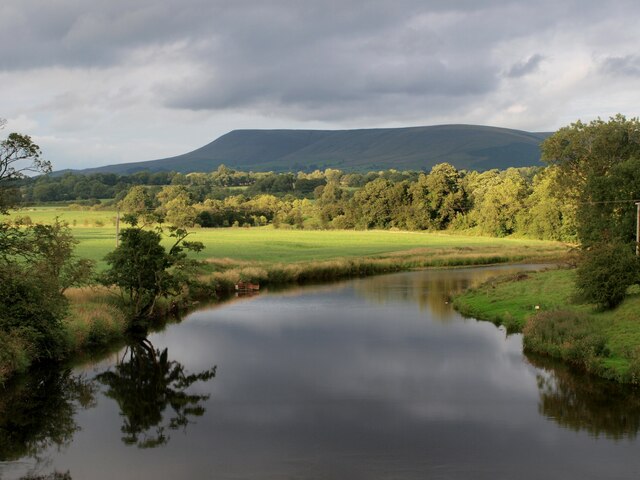
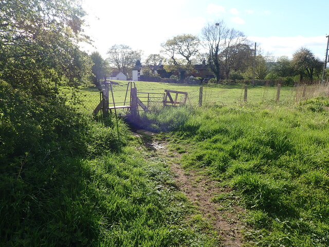
The moorland of Whalley Moor is known for its rugged terrain and expansive views. Visitors can immerse themselves in the peaceful surroundings, taking in the rolling hills and vast open spaces. The area is home to various species of wildlife, including birds, hares, and deer, making it a popular spot for nature enthusiasts and birdwatchers.
The downs of Whalley Moor are equally captivating, with their gentle slopes and lush greenery. These areas are perfect for leisurely walks or hikes, allowing visitors to explore the region's natural wonders at their own pace. The downs provide stunning panoramic views of the surrounding countryside, making them a favorite spot for photographers and artists looking to capture the beauty of Lancashire.
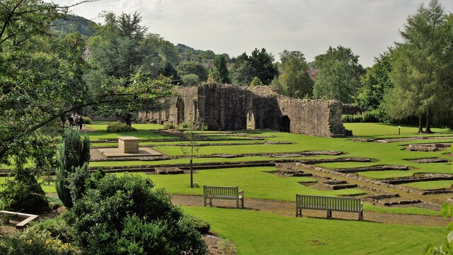
Whalley Moor is also steeped in history, with ancient monuments and archaeological sites scattered throughout the area. These include burial mounds, stone circles, and remnants of old settlements, offering a glimpse into the region's rich past.
Visitors to Whalley Moor can take advantage of the numerous walking trails and footpaths that crisscross the area, allowing for a truly immersive experience in the natural beauty of Lancashire. Whether it's a leisurely stroll, a challenging hike, or a peaceful picnic, Whalley Moor has something to offer for everyone seeking a tranquil escape in the heart of nature.
If you have any feedback on the listing, please let us know in the comments section below.
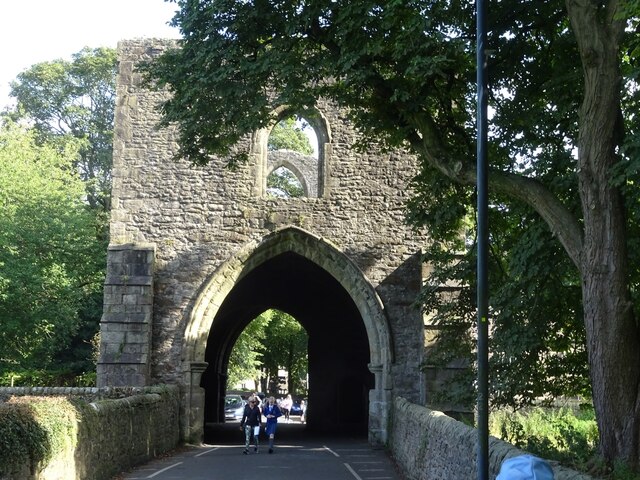
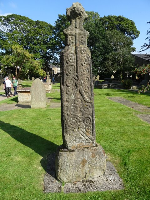
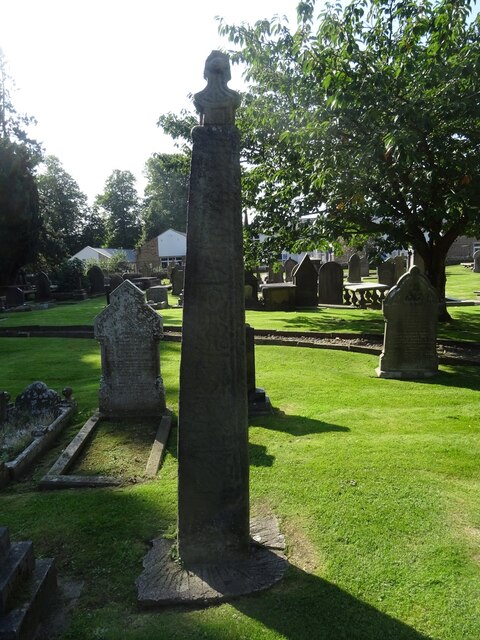
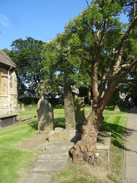
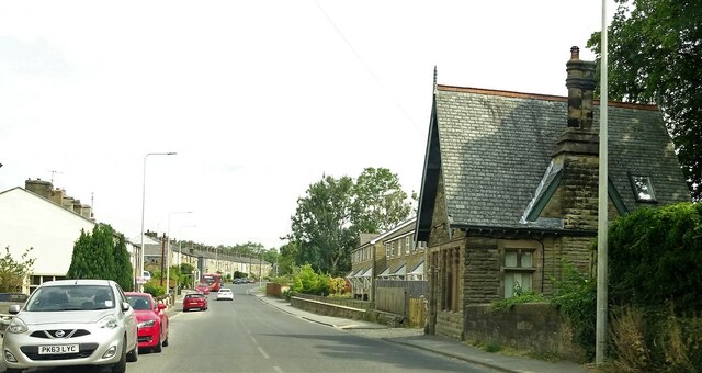
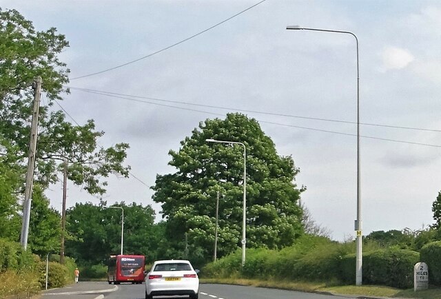
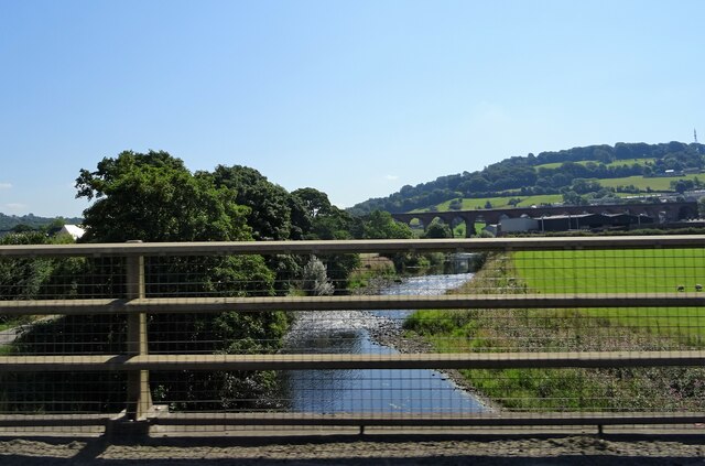
Whalley Moor Images
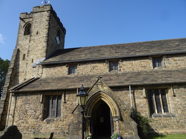
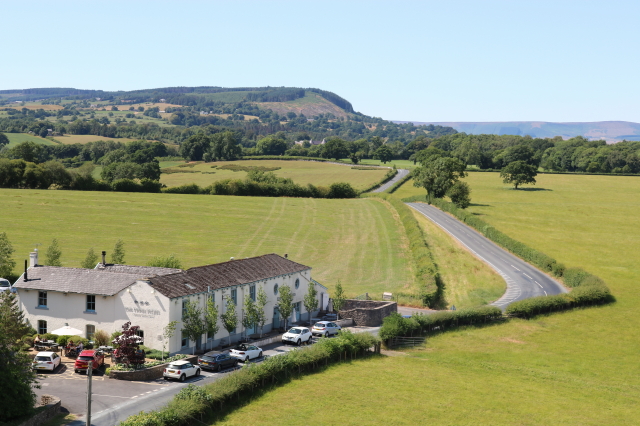
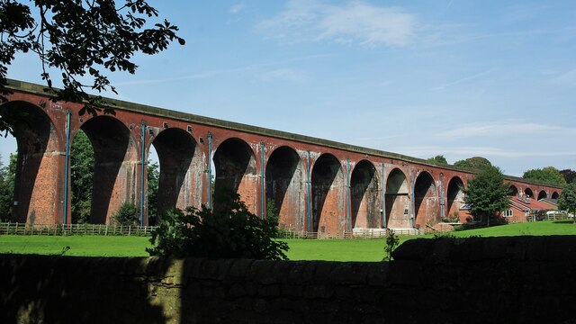
Images are sourced within 2km of 53.835008/-2.4200954 or Grid Reference SD7237. Thanks to Geograph Open Source API. All images are credited.

Whalley Moor is located at Grid Ref: SD7237 (Lat: 53.835008, Lng: -2.4200954)
Administrative County: Lancashire
District: Ribble Valley
Police Authority: Lancashire
What 3 Words
///relished.conveying.rivers. Near Whalley, Lancashire
Nearby Locations
Related Wikis
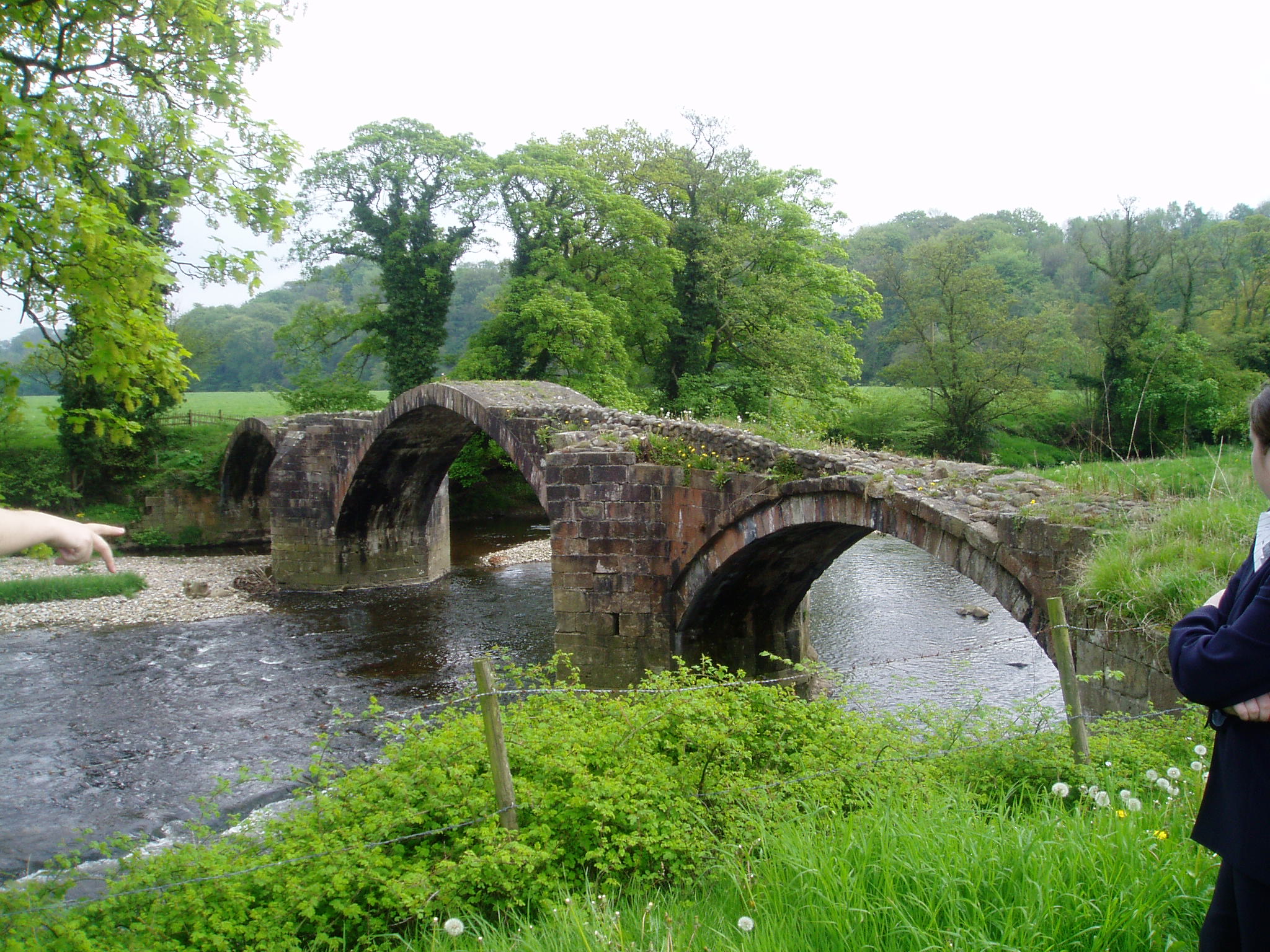
River Hodder
The River Hodder is in Lancashire, England. It is a County Biological Heritage Site. It rises on White Hill and flows for approximately 23 miles to the...

Time and Tide Bell
Time and Tide Bell is an art project made up of bells, designed by UK sculptor Marcus Vergette and Australian bell designer Neil McLachlan, installed at...

Calderstones Hospital
Calderstones Hospital is a mental health facility near to Whalley, Lancashire, England. It is managed by Mersey Care NHS Foundation Trust. == History... ==

Little Mitton
Little Mitton is a civil parish in the Ribble Valley district, in the county of Lancashire, England. In 2001 the population of the civil parish of Little...
Nearby Amenities
Located within 500m of 53.835008,-2.4200954Have you been to Whalley Moor?
Leave your review of Whalley Moor below (or comments, questions and feedback).