West Fell
Downs, Moorland in Yorkshire Craven
England
West Fell
West Fell is a picturesque village located in the heart of Yorkshire, England. Nestled between the stunning Yorkshire Downs and sprawling Moorland, this quaint village offers a unique blend of natural beauty and rural charm.
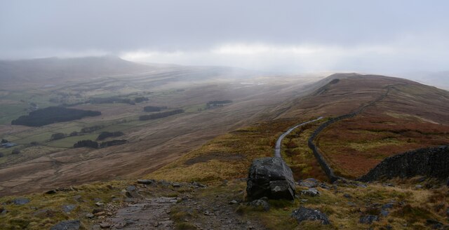
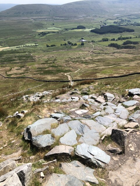
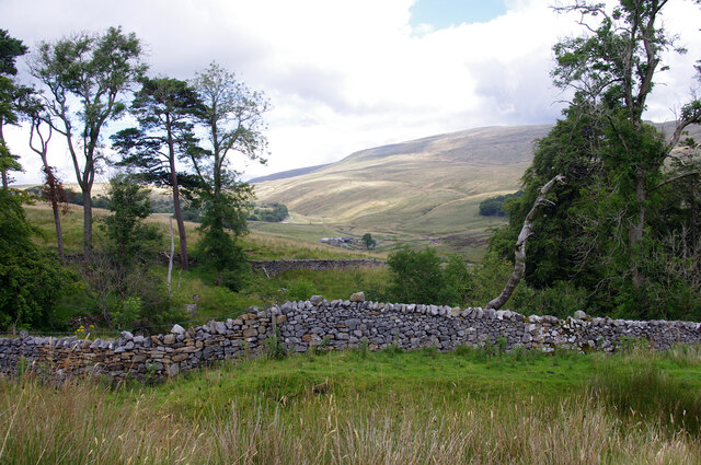
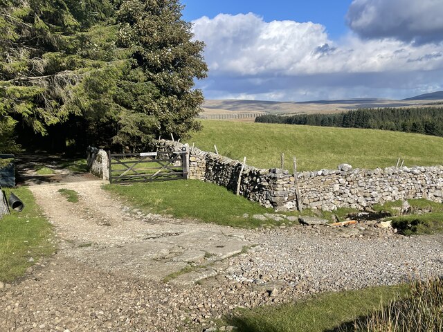
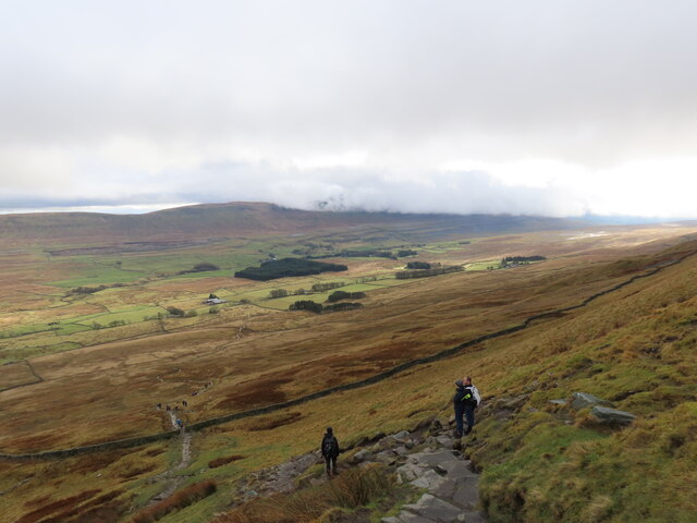
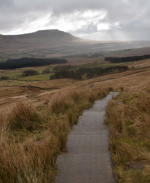
The Yorkshire Downs, with their rolling hills and lush greenery, provide a stunning backdrop to West Fell. The landscape is dotted with sheep grazing on the expansive fields, adding to the idyllic scenery. The Downs also offer an array of walking trails, making it a paradise for outdoor enthusiasts and nature lovers.
To the west of the village lies the vast Moorland, with its rugged terrain and wild beauty. This untamed landscape is characterized by heather-covered hills, bogs, and rocky outcrops. It is a haven for wildlife, with birdwatchers often spotting rare species such as curlews and grouse. The Moorland is also known for its historic landmarks, including ancient burial grounds and stone circles, adding an air of mystery and intrigue to the area.
Despite its rural setting, West Fell boasts a close-knit community and a range of amenities. The village features a charming main street lined with traditional stone cottages, a local pub serving hearty Yorkshire fare, and a village hall that hosts various community events throughout the year. The residents take great pride in maintaining the beauty of the village, with colorful flower displays adorning the streets during the summer months.
In summary, West Fell is a tranquil oasis in the heart of Yorkshire, offering a blend of stunning natural landscapes, a tight-knit community, and a rich tapestry of history and culture.
If you have any feedback on the listing, please let us know in the comments section below.
West Fell Images
Images are sourced within 2km of 54.203361/-2.4246381 or Grid Reference SD7278. Thanks to Geograph Open Source API. All images are credited.


West Fell is located at Grid Ref: SD7278 (Lat: 54.203361, Lng: -2.4246381)
Division: West Riding
Administrative County: North Yorkshire
District: Craven
Police Authority: North Yorkshire
What 3 Words
///superbly.pools.cookbooks. Near Ingleton, North Yorkshire
Nearby Locations
Related Wikis

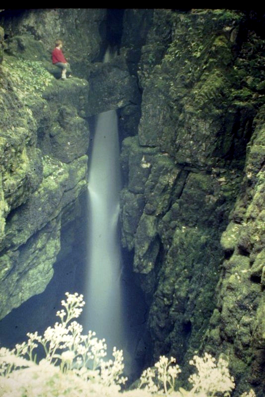
Yordas Cave
Yordas Cave is a solutional cave in Kingsdale, North Yorkshire, England. It has been renowned since the eighteenth century as a natural curiosity, and...
Weathercote Cave
Weathercote Cave is a natural solutional cave in Chapel-le-Dale, North Yorkshire, England. It has been renowned as a natural curiosity since the eighteenth...

Chapel-le-Dale (valley)
Chapel-le-Dale is west-facing valley in the Yorkshire Dales, England. The U-shaped valley of Chapel-le-Dale is one of the few which drain westwards towards...

Chapel-le-Dale
Chapel-le-Dale is a hamlet in the civil parish of Ingleton, North Yorkshire, England. It is in the Yorkshire Dales National Park in a valley of the same...
Nearby Amenities
Located within 500m of 54.203361,-2.4246381Have you been to West Fell?
Leave your review of West Fell below (or comments, questions and feedback).