Bleatarn Common

Downs, Moorland in Westmorland Eden

England

Bleatarn Common

Helm Beck Bridge
Helm Beck Bridge Credit: Andrew Curtis

Bleatarn Common is a vast expanse of land located in Westmorland, a historic county in the northwest region of England. This area is renowned for its natural beauty and diverse landscapes, encompassing both downs and moorland.

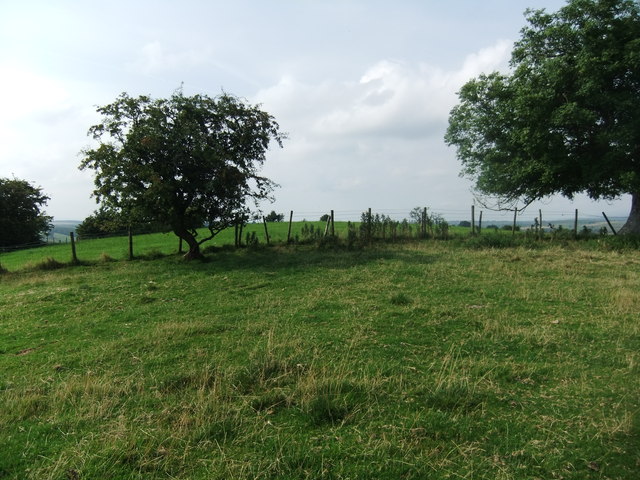
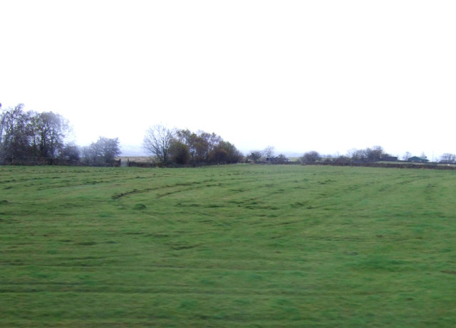
Covering an extensive area of approximately 2,000 acres, Bleatarn Common offers breathtaking views and a tranquil atmosphere. The downs, characterized by their rolling hills and extensive grasslands, provide a picturesque setting for visitors to explore. The lush vegetation supports a variety of wildlife, including numerous bird species, rabbits, and other small mammals.

Moving towards the moorland, the landscape changes dramatically, with rugged terrain and heather-covered hills dominating the scenery. Bleatarn Common's moorland is a unique ecosystem, home to an array of plant species, such as cotton grass and bilberries. Visitors can witness the vibrant display of colors during the blooming season, with the moors transforming into a sea of purples and pinks.

The area is also intersected by several footpaths and trails, offering opportunities for hikers and nature enthusiasts to immerse themselves in the beauty of the surroundings. Bleatarn Common is a popular destination for outdoor activities, including walking, cycling, and birdwatching.

With its untouched landscapes and stunning vistas, Bleatarn Common is a haven for those seeking a peaceful and idyllic escape. Whether it's the gentle slopes of the downs or the rugged charm of the moorland, this area in Westmorland offers a truly captivating experience for visitors of all ages.

If you have any feedback on the listing, please let us know in the comments section below.

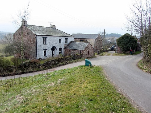
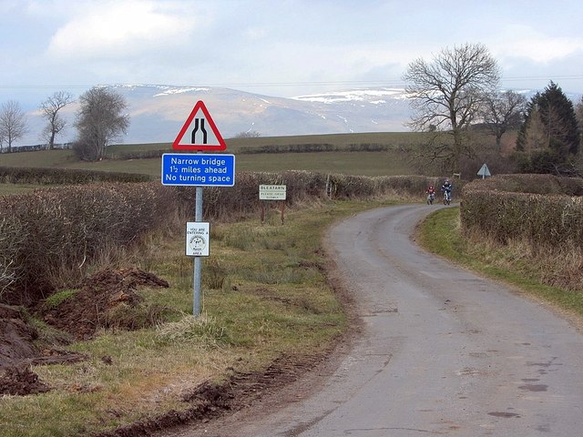
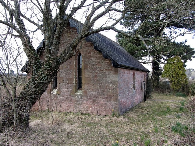
Bleatarn Common Images

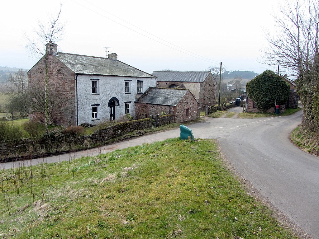
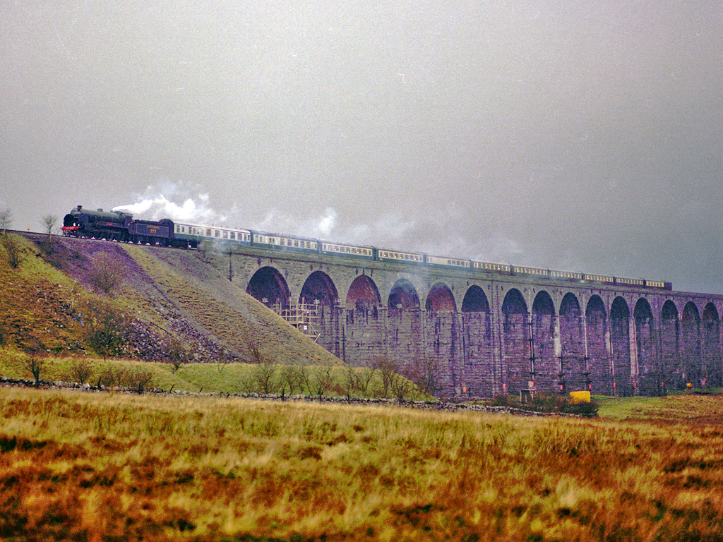
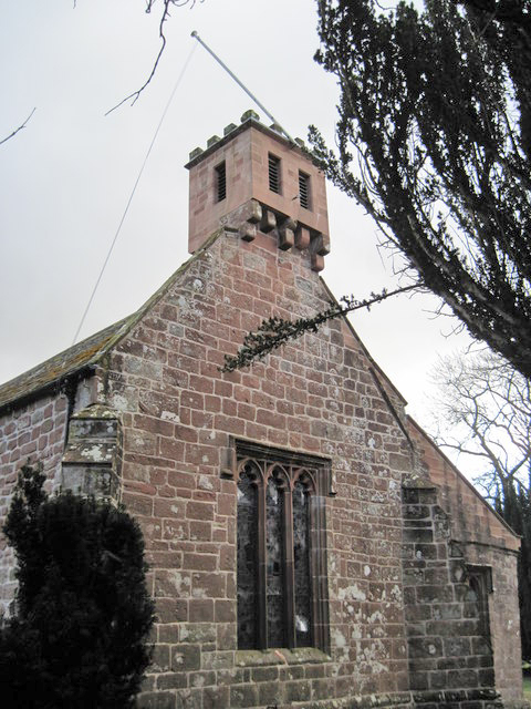
Images are sourced within 2km of 54.520048/-2.4333414 or Grid Reference NY7213. Thanks to Geograph Open Source API. All images are credited.

Helm Beck Bridge
Helm Beck Bridge
Helm Beck south of Helm Road
White butterbur (Petasites albus), hedgerow, Mask Road The location is shown here <a href="https://www.geograph.org.uk/photo/3409389">NY7114 : Mask Road</a>

White butterbur is a native of the mountains of Europe and S.W. Asia. It was introduced to Britain as a garden ornamental in 1683, and naturalised in West Yorkshire by at least 1843. Plants are dioecious, consisting of separate male and female plants which are not self-fertile. In Britain, plants flower as early as February and are visited by various insects. If pollinated, female plants bear dandelion-like cylindrical seeds with a tuft of long white hairs. As the vast majority of naturalised populations consist entirely of male plants the extent of sexual reproduction is unclear and spread occurs largely by dispersal of the rhizomes.
<span class="nowrap"><a title="http://www.brc.ac.uk/plantatlas/index.php?q=plant/petasites-albus" rel="nofollow ugc noopener" href="http://www.brc.ac.uk/plantatlas/index.php?q=plant/petasites-albus">Link</a><img style="margin-left:2px;" alt="External link" title="External link - shift click to open in new window" src="https://s1.geograph.org.uk/img/external.png" width="10" height="10"/></span>
White butterbur (Petasites albus), hedgerow, Mask Road
The location is shown here NY7114 : Mask Road White butterbur is a native of the mountains of Europe and S.W. Asia. It was introduced to Britain as a garden ornamental in 1683, and naturalised in West Yorkshire by at least 1843. Plants are dioecious, consisting of separate male and female plants which are not self-fertile. In Britain, plants flower as early as February and are visited by various insects. If pollinated, female plants bear dandelion-like cylindrical seeds with a tuft of long white hairs. As the vast majority of naturalised populations consist entirely of male plants the extent of sexual reproduction is unclear and spread occurs largely by dispersal of the rhizomes. LinkExternal link
Bleatarn
Bleatarn
Minor road at Bleatarn
Tiny church at Bleatarn Also referred to as Bleatarn Chapel of Ease <span class="nowrap"><a title="http://en.wikipedia.org/wiki/Chapel_of_ease" rel="nofollow ugc noopener" href="http://en.wikipedia.org/wiki/Chapel_of_ease">Link</a><img style="margin-left:2px;" alt="External link" title="External link - shift click to open in new window" src="https://s1.geograph.org.uk/img/external.png" width="10" height="10"/></span>
Tiny church at Bleatarn
Also referred to as Bleatarn Chapel of Ease LinkExternal link
Path on Trickle Banks
Sourlands Hill
Sourlands Hill
Grazing, Grassgill
Grazing, Grassgill
Farmland near Breaks Hall
Grazing near Lower Griseburn
Farmland towards Helm Beck
Valley of Helm Beck Seen from the open window of a southbound train on the Settle Carlisle line.
Valley of Helm Beck
Seen from the open window of a southbound train on the Settle Carlisle line.
Bridleway running east from Helm Beck Seen from the open window of a southbound train on the Settle Carlisle line.
Bridleway running east from Helm Beck
Seen from the open window of a southbound train on the Settle Carlisle line.
Bridge over Helm Beck At the 169 metre spot height. Seen from the open window of a southbound train on the Settle Carlisle line.
Bridge over Helm Beck
At the 169 metre spot height. Seen from the open window of a southbound train on the Settle Carlisle line.
Sheep on the wrong side of the fence, near Crow Hill Seen from the open window of a southbound train on the Settle Carlisle line.
Sheep on the wrong side of the fence, near Crow Hill
Seen from the open window of a southbound train on the Settle Carlisle line.
Wooded course of a beck, north-west of Crow Hill Seen from the open window of a southbound train on the Settle Carlisle line.
Wooded course of a beck, north-west of Crow Hill
Seen from the open window of a southbound train on the Settle Carlisle line.
Show me another place!

Bleatarn Common is located at Grid Ref: NY7213 (Lat: 54.520048, Lng: -2.4333414)

Administrative County: Cumbria

District: Eden

Police Authority: Cumbria

What 3 Words

///bypassed.perkily.exporters. Near Appleby-in-Westmorland, Cumbria

Related Wikis

Nearby Amenities

Located within 500m of 54.520048,-2.4333414
Bleatarn Common
Place: locality
Lat/Long: 54.5203944/-2.4366259
Power: pole
Lat/Long: 54.5225166/-2.4272813
Power: pole
Lat/Long: 54.5222894/-2.4284143
Power: pole
Lat/Long: 54.5226107/-2.4295058
The data included in this document is from www.openstreetmap.org. The data is made available under ODbL.

Have you been to Bleatarn Common?

Leave your review of Bleatarn Common below (or comments, questions and feedback).