Milburn Forest
Downs, Moorland in Westmorland Eden
England
Milburn Forest
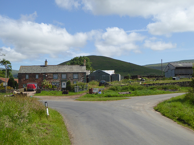
Milburn Forest, located in Westmorland, England, is a picturesque and sprawling area comprising downs, moorland, and diverse vegetation. Covering an expansive area of approximately 5,000 acres, it is a popular destination for nature enthusiasts, hikers, and wildlife observers.
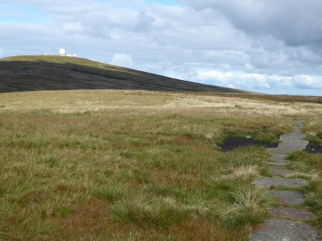
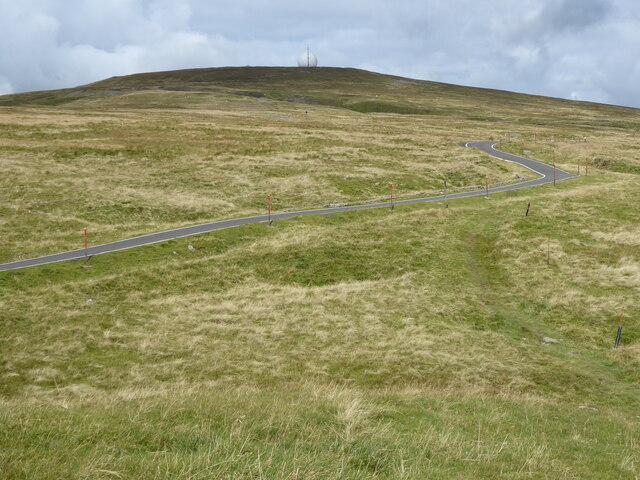
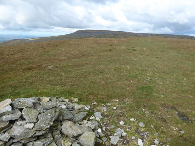
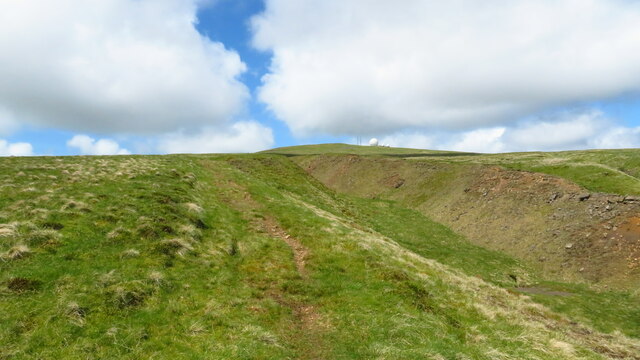
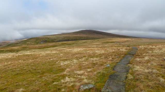
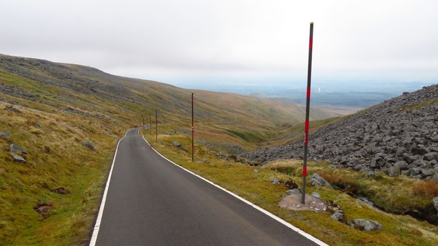
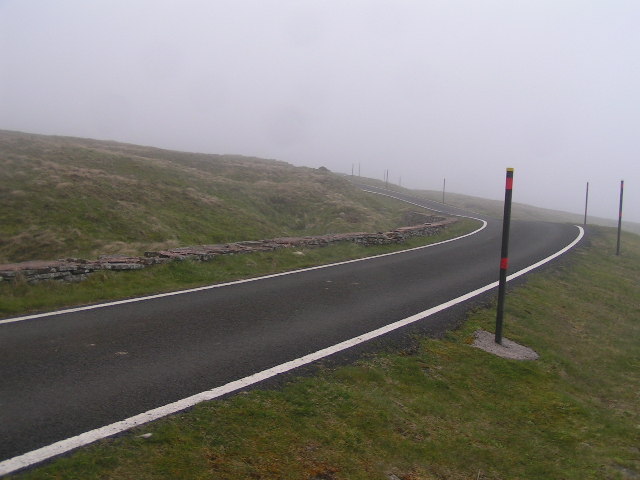
The landscape of Milburn Forest is characterized by its undulating downs, heather-clad moorland, and dense woodlands. The downs offer stunning panoramic views of the surrounding countryside, with rolling hills and valleys stretching as far as the eye can see. The moorland, covered in vibrant purple heather, provides a unique and enchanting atmosphere, especially during the late summer months when the heather is in full bloom.
The forest is home to a wide variety of flora and fauna. The woodlands are abundant with ancient oak and birch trees, creating a rich and diverse ecosystem. Birdwatchers flock to the forest to spot a range of avian species, including buzzards, kestrels, and rare birds of prey. Small mammals such as rabbits, foxes, and badgers can also be spotted in the forest.
Milburn Forest offers an extensive network of well-maintained trails and paths, making it an ideal destination for walkers and hikers of all levels. Visitors can explore the forest on foot, discovering hidden gems such as tranquil streams, charming waterfalls, and ancient stone ruins along the way.
Overall, Milburn Forest in Westmorland is a breathtakingly beautiful natural landscape, providing a sanctuary for wildlife and a haven for outdoor enthusiasts seeking to immerse themselves in the wonders of nature.
If you have any feedback on the listing, please let us know in the comments section below.
Milburn Forest Images
Images are sourced within 2km of 54.688818/-2.4391254 or Grid Reference NY7132. Thanks to Geograph Open Source API. All images are credited.


Milburn Forest is located at Grid Ref: NY7132 (Lat: 54.688818, Lng: -2.4391254)
Administrative County: Cumbria
District: Eden
Police Authority: Cumbria
What 3 Words
///outlined.balconies.glare. Near Appleby-in-Westmorland, Cumbria
Nearby Locations
Related Wikis

Cross Fell
Cross Fell is the highest mountain in the Pennines of Northern England and the highest point in England outside the Lake District. It is located in the...

Moorhouse and Cross Fell
Moorhouse and Cross Fell is a Site of Special Scientific Interest covering an extensive area of moorland in the Wear Valley district of west County Durham...

Dufton Pike
Dufton Pike is a hill in the northern Pennines, in Cumbria, England. It is classed as a Marilyn (a hill with topographic prominence of at least 150m)....
Knock, Cumbria
Knock is a small village in the Eden district of Cumbria, England, and 1.9 km northwest of the larger village of Dufton and 3.1 km south of the village...

Kirkland, Culgaith
Kirkland is a village in the Eden district of the English county of Cumbria. It is in the historic county of Cumberland. There is a fell called Kirkland...

Milburn, Cumbria
Milburn is a small village and civil parish in the Eden district of Cumbria, England. It is located on the northern side of the Eden Valley, about 9 miles...

St Cuthbert's Church, Dufton
St Cuthbert's Church is situated 3⁄4 mile (1.2 km) north of the village of Dufton, Cumbria, England. It should not be confused with the nearby St Cuthbert...

High Cup Gill
High Cup Gill (or High Cup Nick or just High Cup), almost a geometrically perfect U-shaped chasm, is a valley deeply incised into the Pennine scarp to...
Nearby Amenities
Located within 500m of 54.688818,-2.4391254Have you been to Milburn Forest?
Leave your review of Milburn Forest below (or comments, questions and feedback).