Apley Park

Downs, Moorland in Shropshire

England

Apley Park

Footpath at the edge of Thrift Coppice Thrift Coppice runs into Birch Wood as you walk east; both lie on the steep southern bank of the Dean Brook valley.
Footpath at the edge of Thrift Coppice Credit: Richard Law

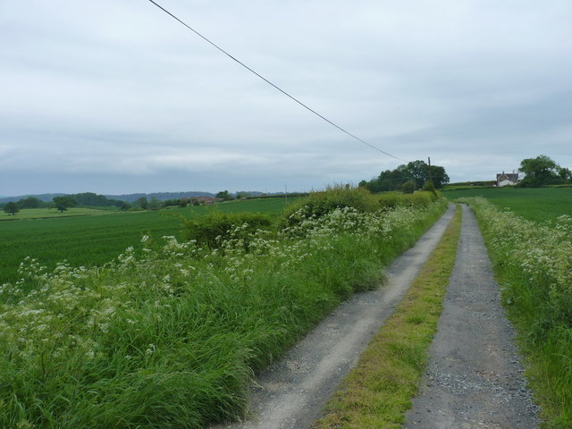
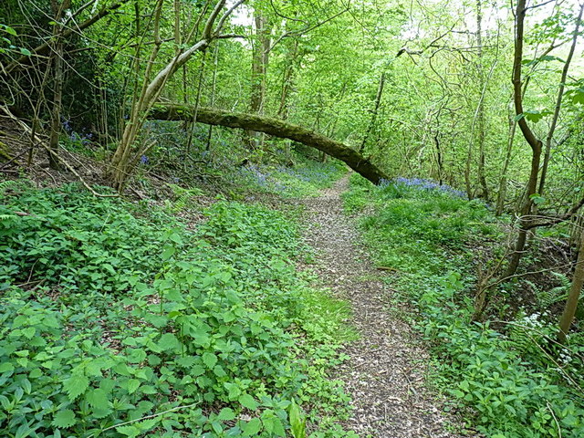
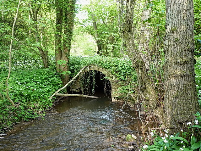
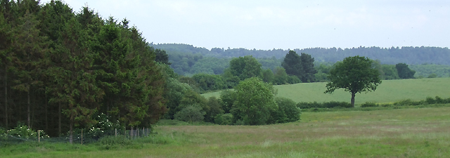
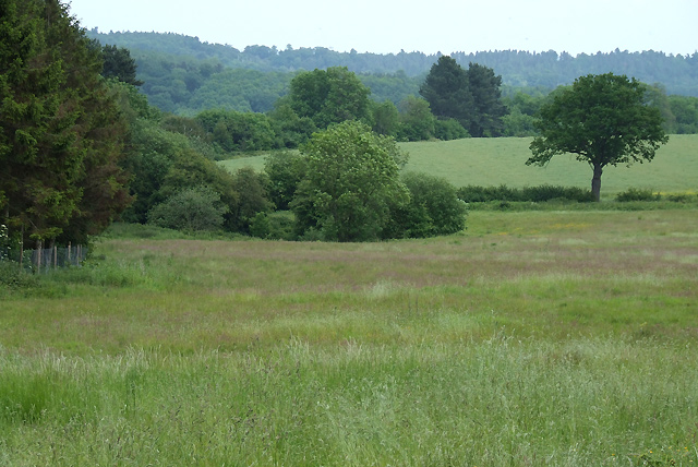
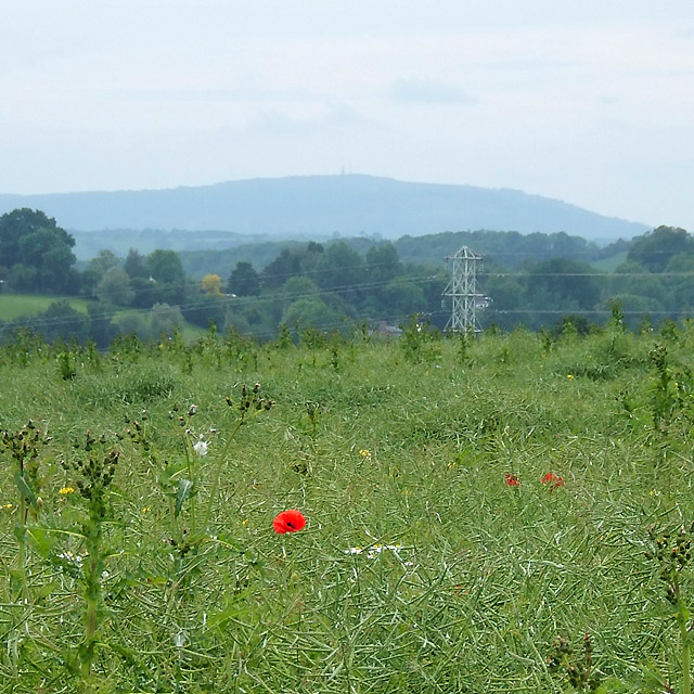
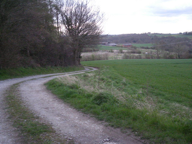
Apley Park is a stunning country estate located in Shropshire, England. Covering an expansive area, it is known for its diverse landscapes that encompass both downs and moorland. The parkland is characterized by rolling hills, open grasslands, and scattered woodlands, offering visitors a picturesque and tranquil setting to explore.

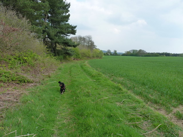
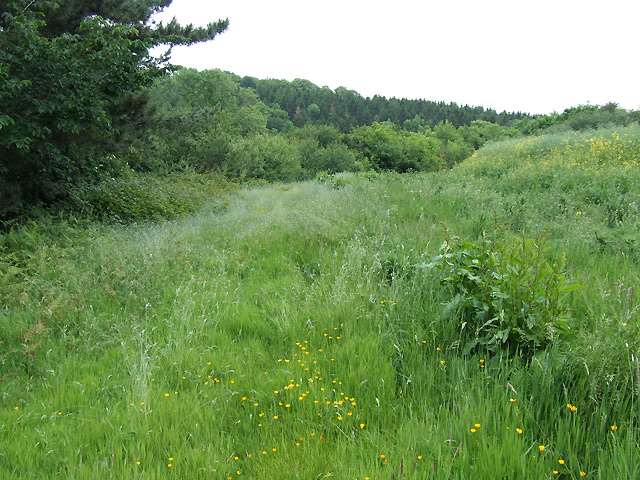
The downs of Apley Park are characterized by their gently sloping hills and vast expanses of grasslands. These areas provide a perfect spot for leisurely walks or picnics, allowing visitors to enjoy the panoramic views of the surrounding countryside. The downs are also home to a variety of wildlife, including rabbits, hares, and a variety of bird species.

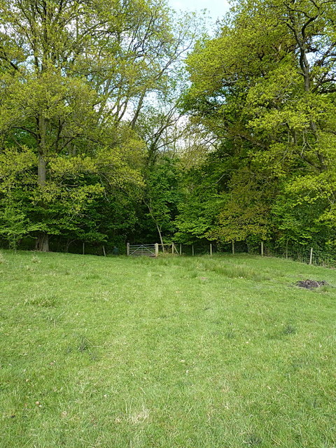
In contrast, the moorland of Apley Park offers a more rugged and wild landscape. Here, visitors can discover heather-covered hills, rocky outcrops, and winding pathways. The moorland is renowned for its unique plant species, including bilberry and cotton grass, as well as its diverse bird and animal life, such as curlew, red grouse, and adders.

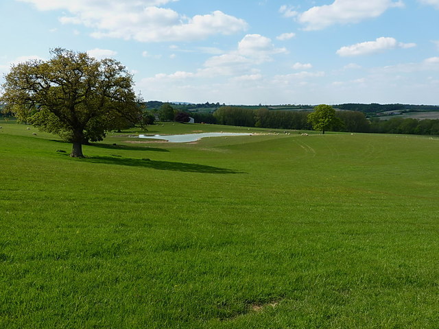
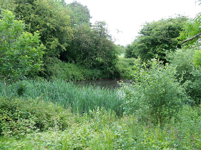
Apley Park also boasts a beautiful lake, adding to its natural allure. The tranquil waters reflect the surrounding trees and provide a peaceful spot for fishing or simply enjoying the serene atmosphere.

Overall, Apley Park is a haven for nature enthusiasts and those seeking an escape from the hustle and bustle of everyday life. Its combination of downs, moorland, and a picturesque lake make it a truly remarkable and diverse landscape to explore.

If you have any feedback on the listing, please let us know in the comments section below.

Apley Park Images

Images are sourced within 2km of 52.579381/-2.4277887 or Grid Reference SO7198. Thanks to Geograph Open Source API. All images are credited.

Footpath at the edge of Thrift Coppice Thrift Coppice runs into Birch Wood as you walk east; both lie on the steep southern bank of the Dean Brook valley.
Footpath at the edge of Thrift Coppice
Thrift Coppice runs into Birch Wood as you walk east; both lie on the steep southern bank of the Dean Brook valley.
Bridleway down to the two Binnals The white-ish building on the right is Little Binnal, with the farm of Great Binnal just off to the left .
Bridleway down to the two Binnals
The white-ish building on the right is Little Binnal, with the farm of Great Binnal just off to the left .
The Albynes A large farmhouse and buildings just off the B4373 Broseley Road out of Bridgnorth.
The Albynes
A large farmhouse and buildings just off the B4373 Broseley Road out of Bridgnorth.
Grazing land and a new pool at The Albynes
Bridleway gate into Frogmill Covert
Good luck limboing under that one A fallen tree doing its best to block the bridleway. Easy to walk or ride a bike under - not so easy on an 'oss.
Good luck limboing under that one
A fallen tree doing its best to block the bridleway. Easy to walk or ride a bike under - not so easy on an 'oss.
Packhorse bridge over the Linley Brook One of a couple of arched brick bridges in these woods; there must have been quite a bit of trade running up and down this part of the Severn valley once upon a time to warrant the effort of building them.
Packhorse bridge over the Linley Brook
One of a couple of arched brick bridges in these woods; there must have been quite a bit of trade running up and down this part of the Severn valley once upon a time to warrant the effort of building them.
Old Milestone, Berkeley Heath Carved stone post by the B4066, in parish of BERKELEY (STROUD District), Berkeley Heath, in front of Field View on verge, on South side of road. Erected by the Berkley & Dursley (Division) turnpike trust in the 19th century. Carved benchmark front lower middle 23.1 m ASL. Note: that the destination (presumably Berkeley) is defaced. For an older image see: <a title="https://www.geograph.org.uk/photo/6098469" href="https://www.geograph.org.uk/photo/6098469">Link</a>

Inscription reads:- : TO / (BERKELEY) / 1 / MILE 

Milestone Society National ID: GL_BKDY01
Old Milestone, Berkeley Heath
Carved stone post by the B4066, in parish of BERKELEY (STROUD District), Berkeley Heath, in front of Field View on verge, on South side of road. Erected by the Berkley & Dursley (Division) turnpike trust in the 19th century. Carved benchmark front lower middle 23.1 m ASL. Note: that the destination (presumably Berkeley) is defaced. For an older image see: Link Inscription reads:- : TO / (BERKELEY) / 1 / MILE Milestone Society National ID: GL_BKDY01
The Swan at Nordley The Swan is no longer a Public House although it is still shown on the OS mapping. The brackets for the hanging sign are evident along with the recess and lamp for the sign over the door.
The Swan at Nordley
The Swan is no longer a Public House although it is still shown on the OS mapping. The brackets for the hanging sign are evident along with the recess and lamp for the sign over the door.
Forest and Farmland, near Linleygreen, Shropshire The public footpath along the edge of the coppice is rarely used and undefined on the ground. The white blossoms at the woodland edge are elder.
Forest and Farmland, near Linleygreen, Shropshire
The public footpath along the edge of the coppice is rarely used and undefined on the ground. The white blossoms at the woodland edge are elder.
Farmland near Linleygreen, Shropshire The public footpath is undefined on the ground, and follows the edge of the coppice. The small wooded promontory (centre) surrounds a pool.
Farmland near Linleygreen, Shropshire
The public footpath is undefined on the ground, and follows the edge of the coppice. The small wooded promontory (centre) surrounds a pool.
Pool in the Trees, near Linleygreen, Shropshire The foliage is especially lush around this pool. The public right of way skirts the trees to the right
Pool in the Trees, near Linleygreen, Shropshire
The foliage is especially lush around this pool. The public right of way skirts the trees to the right
The Edge of the Coppice, near Linleygreen, Shropshire The public right of way (hardly ever used, it seems) cuts across the field fifty metres to the right.
The Edge of the Coppice, near Linleygreen, Shropshire
The public right of way (hardly ever used, it seems) cuts across the field fifty metres to the right.
View from near Linleygreen, Shropshire Because of the amount of weeds (poppies, thistles, brambles, buttercups etc.) growing among the rapeseeds, I wonder whether it is an organic crop. It is growing far away from any other rapeseed fields.
View from near Linleygreen, Shropshire
Because of the amount of weeds (poppies, thistles, brambles, buttercups etc.) growing among the rapeseeds, I wonder whether it is an organic crop. It is growing far away from any other rapeseed fields.
Access to Hem Farm
Access to Hem Farm
Waiting for some action
Over the fields to Binnal
Pasture land at Albynes farm
Show me another place!

Apley Park is located at Grid Ref: SO7198 (Lat: 52.579381, Lng: -2.4277887)

Unitary Authority: Shropshire

Police Authority: West Mercia

What 3 Words

///innovator.glorified.chat. Near Bridgnorth, Shropshire

Nearby Locations

Apley Park Morrels Coppice

Related Wikis

Apley Hall

Apley Hall is an English Gothic Revival house located in the parish of Stockton near Bridgnorth, Shropshire. The building was completed in 1811 with adjoining...

Linley Halt railway station

Linley, later Linley Halt, was a small railway station on the Severn Valley line in Shropshire, England. The station was built as a condition of constructing...

Apley Forge

Apley Forge is a village in Shropshire, England, north of the town of Bridgnorth. == External links == Media related to Apley Forge at Wikimedia Commons

Severn Way

The Severn Way is a waymarked long-distance footpath in the United Kingdom, which follows the course of the River Severn through Mid Wales and western...

Nearby Amenities

Located within 500m of 52.579381,-2.4277887
Barrier: stile
Lat/Long: 52.5763922/-2.4248511
Barrier: stile
Lat/Long: 52.5764379/-2.4251568
Barrier: stile
Lat/Long: 52.5801601/-2.4328529
Barrier: stile
Lat/Long: 52.5787419/-2.4314935
Barrier: stile
Lat/Long: 52.5763347/-2.4254835
The data included in this document is from www.openstreetmap.org. The data is made available under ODbL.

Have you been to Apley Park?

Leave your review of Apley Park below (or comments, questions and feedback).