Cow Pasture

Downs, Moorland in Yorkshire South Lakeland

England

Cow Pasture

Fields Beside Road To Hebblethwaite Hall
Fields Beside Road To Hebblethwaite Hall Credit: David Robinson

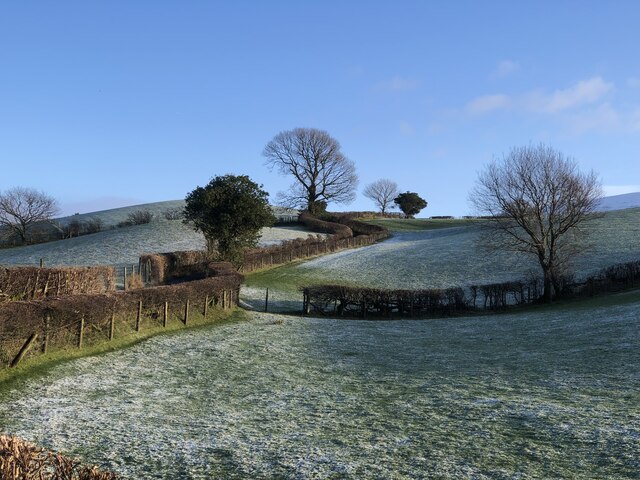
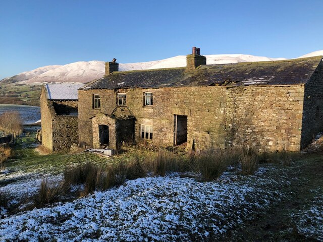
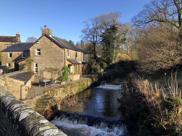
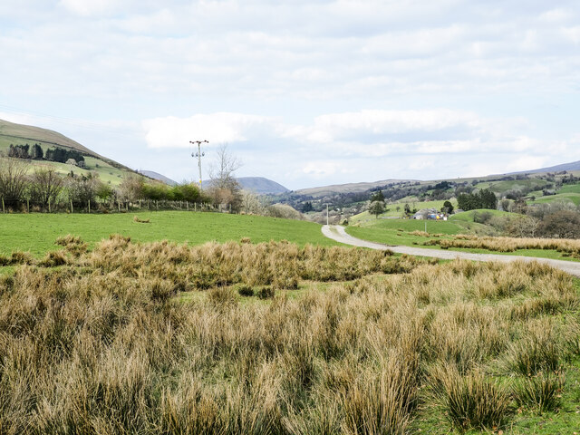
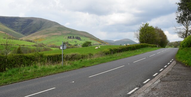
Cow Pasture is a picturesque area located in the region of Yorkshire, England, encompassing the vast landscapes of the Downs and Moorland. Stretching across an area of approximately 500 acres, the pasture is known for its lush green meadows, rolling hills, and abundant wildlife.

The area is primarily used for cattle grazing, with its name aptly reflecting its main purpose. The fields are carefully maintained, ensuring a rich and nutritious diet for the cows that roam freely within the boundaries. The presence of these gentle creatures adds to the charm of the landscape, as visitors can often observe them peacefully grazing or resting under the shade of trees.

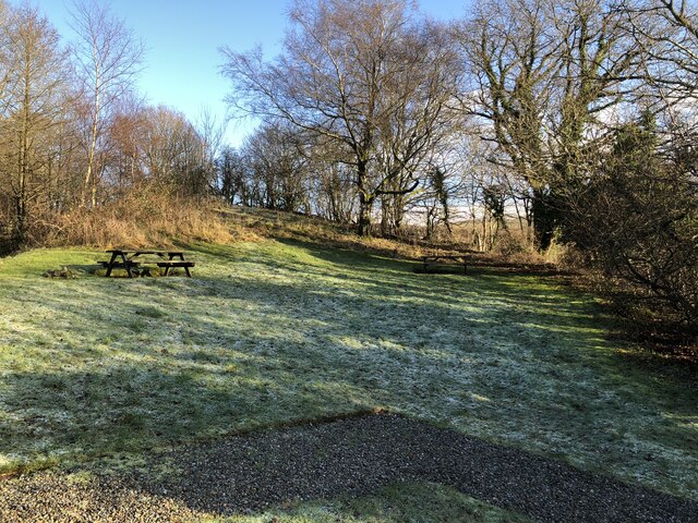
The geography of the pasture is characterized by undulating hills, providing stunning panoramic views of the surrounding countryside. The Downs, with their gentle slopes, are adorned with colorful wildflowers during the spring and summer months, creating a vibrant and visually appealing spectacle.

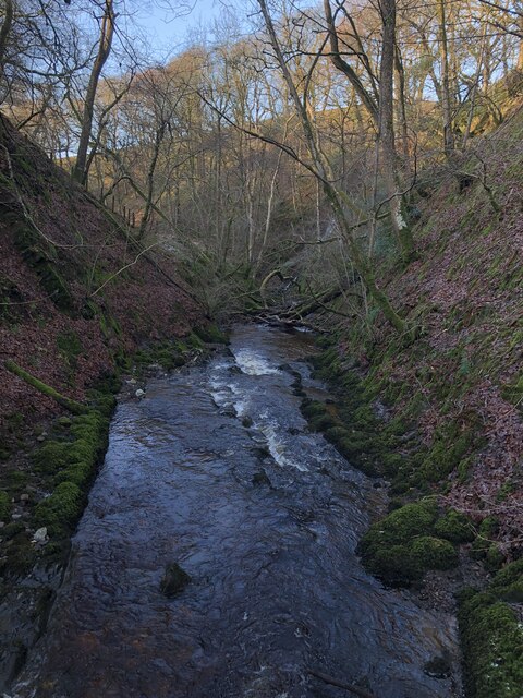
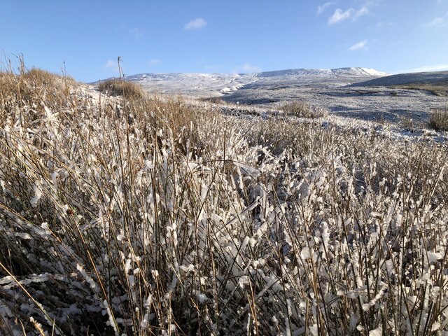
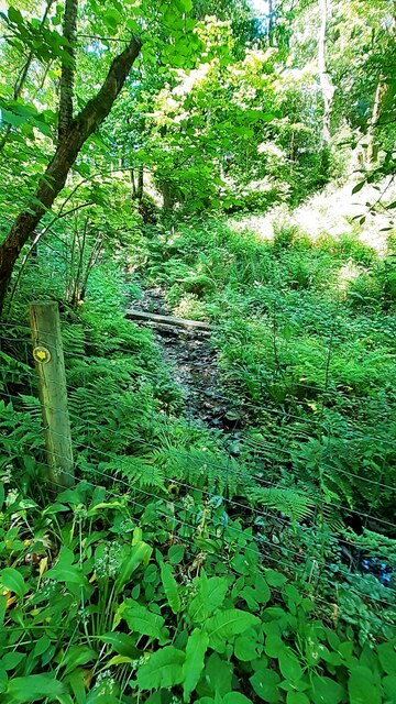
In contrast, the Moorland section offers a more rugged and untamed terrain. Here, visitors can explore vast expanses of heather-covered moors, interspersed with rocky outcrops and babbling streams. This unique ecosystem supports a variety of plants and animals, including heathland birds, such as grouse and curlews.

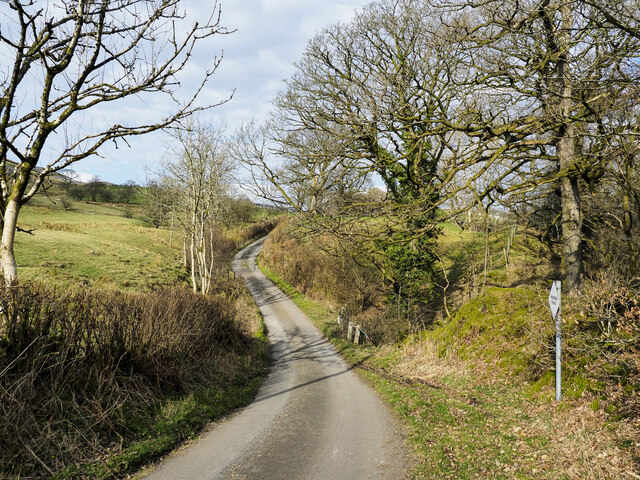
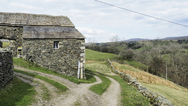
Cow Pasture is a haven for nature enthusiasts, hikers, and photographers alike. Its tranquil atmosphere and unspoiled beauty make it an ideal destination for those seeking to immerse themselves in the natural wonders of Yorkshire's countryside.

If you have any feedback on the listing, please let us know in the comments section below.

Cow Pasture Images

Images are sourced within 2km of 54.336636/-2.4679668 or Grid Reference SD6993. Thanks to Geograph Open Source API. All images are credited.

Fields Beside Road To Hebblethwaite Hall
Hebblethwaite Hall Gill
Abandoned Farmhouse at Sarthwaite
Icy Moorland Above Sarthwaite
Weirs on Hebblethwaite Hall Gill at Burntmill Bridge
Picnic Area Beside A 683
Minor road with passing place The road is seen heading north towards the farm at Thursgill where it ends as a publicly motorable route. It's climbing from a stream crossing near to Ellerthwaite.
Minor road with passing place
The road is seen heading north towards the farm at Thursgill where it ends as a publicly motorable route. It's climbing from a stream crossing near to Ellerthwaite.
Barn at Fawcett Bank Fawcett Bank is a farm in the valley of the River Rawthey. The farm road, also a public footpath, is the course of a named long distance path based on a walk made by Alfred Wainwright in 1938, 'A Pennine Journey'.
Barn at Fawcett Bank
Fawcett Bank is a farm in the valley of the River Rawthey. The farm road, also a public footpath, is the course of a named long distance path based on a walk made by Alfred Wainwright in 1938, 'A Pennine Journey'.
Route of 'A Pennine Journey' The road is the access route for the farm at Fawcett Bank; it's not a public road for motoring but is a public footpath and is now the route of the long distance walk. The route is not the one followed in 1938 by Alfred Wainwright and recorded by him in a version not originally intended for publication, but a similar one made in 1998 by David and Heather Pitt.
Route of 'A Pennine Journey'
The road is the access route for the farm at Fawcett Bank; it's not a public road for motoring but is a public footpath and is now the route of the long distance walk. The route is not the one followed in 1938 by Alfred Wainwright and recorded by him in a version not originally intended for publication, but a similar one made in 1998 by David and Heather Pitt.
Low Fawes Farm buildings at Low Fawes on farmland to the north of the Clough River in Garsdale.
Low Fawes
Farm buildings at Low Fawes on farmland to the north of the Clough River in Garsdale.
The A683 Beside the picnic area.
The A683
Beside the picnic area.
Garage across minor road (Buckbank Lane) from Ellerthwaite
Ellerthwaite on west side of Buckbank Lane
Stream on west side of Buckbank Lane near Ellerthwaite
Passing place on Buckbank Road at Lowridding Wood
Gate on Buckbank Road in Buckbank Wood
Oxeye daisies on verge of Buckbank Lane near Buckbank
View over the valley of the River Rawthey
Show me another place!

Cow Pasture is located at Grid Ref: SD6993 (Lat: 54.336636, Lng: -2.4679668)

Division: West Riding

Administrative County: Cumbria

District: South Lakeland

Police Authority: Cumbria

What 3 Words

///tube.deeds.tweaked. Near Sedbergh, Cumbria

Related Wikis

Clough River

The Clough River is a river in Cumbria, England. A tributary of the River Rawthey, it flows for 21.8 kilometres (13.5 mi) primarily through the Garsdale...

Calders (Yorkshire Dales)

Calders is a summit of 2,211 feet (674 m) in the Howgill Fells, Cumbria, England. It lies about 2⁄3 mile (1 km) south east of the summit of The Calf and...

Settlebeck School

Settlebeck School is a small coeducational secondary school with academy status. It is located in Sedbergh in the English county of Cumbria, drawing pupils...

Sedbergh

Sedbergh ( SED-bər or locally SEB-ər) is a town and civil parish in the ceremonial county of Cumbria. It falls within the historic boundaries of the West...

Nearby Amenities

Located within 500m of 54.336636,-2.4679668
Cowpasture Wood
Natural: woodland
Source: OS OpenData StreetView
Lat/Long: 54.3344861/-2.4692154
Penny Farm Wood
Natural: wood
Lat/Long: 54.3344151/-2.4653062
Penny Farm
Place: locality
Lat/Long: 54.3339722/-2.4648246
Natural: cave_entrance
Lat/Long: 54.3330998/-2.4646799
Cow Pasture
Place: locality
Lat/Long: 54.336642/-2.4683904
The data included in this document is from www.openstreetmap.org. The data is made available under ODbL.

Have you been to Cow Pasture?

Leave your review of Cow Pasture below (or comments, questions and feedback).