Great Ormside Moor
Downs, Moorland in Westmorland Eden
England
Great Ormside Moor
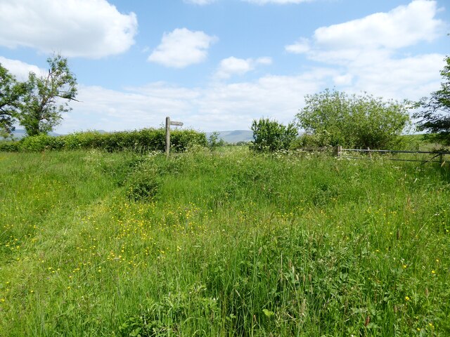
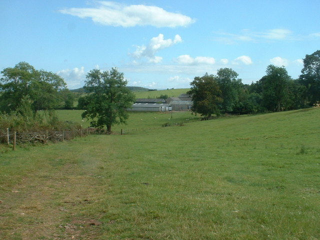
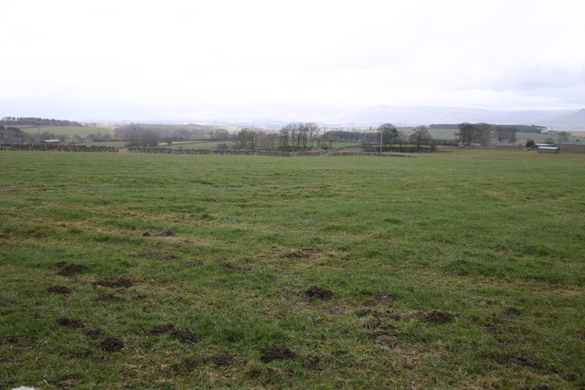
Great Ormside Moor is a vast expanse of open countryside located in the county of Westmorland, England. Situated in the northwestern part of the country, it is renowned for its stunning natural beauty and diverse landscape. This area is predominantly characterized by its rolling hills, extensive moorland, and picturesque valleys.
Covering an area of approximately 10 square kilometers, Great Ormside Moor is home to an array of plant and animal species, making it a haven for nature enthusiasts and wildlife lovers. The moorland is adorned with vibrant purple heather during the summer months, creating a breathtaking sight for visitors.
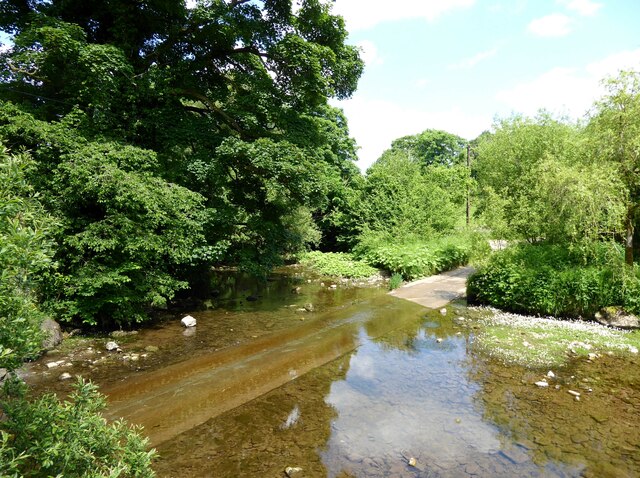
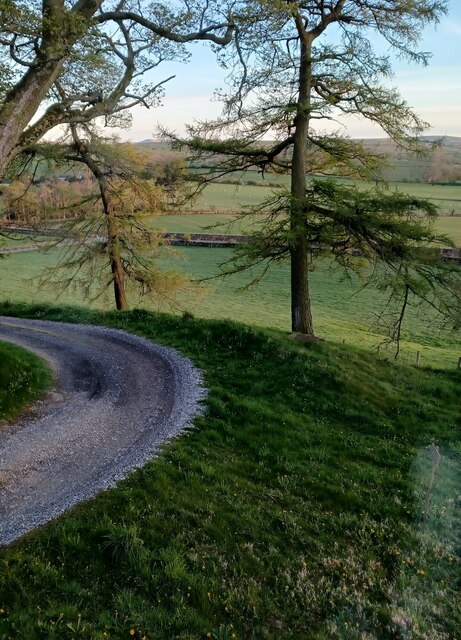
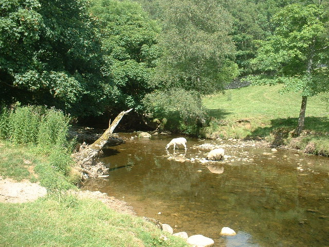
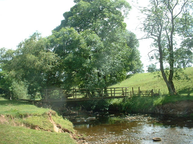
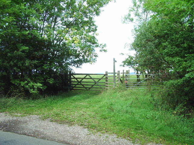
The area offers numerous walking and hiking trails, allowing visitors to explore its vast expanse and discover its hidden gems. The meandering River Eden adds to the charm of the landscape, providing opportunities for fishing and boating activities.
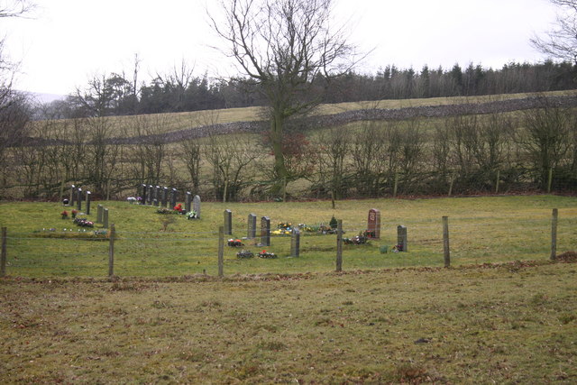
Great Ormside Moor is steeped in history, with evidence of human habitation dating back to the Bronze Age. Ancient stone circles and burial mounds dot the landscape, offering glimpses into the area's past.
The moorland is also of significant archaeological interest, with remnants of Roman settlements and medieval farming practices still visible. These historical sites provide a fascinating insight into the region's rich heritage.
Overall, Great Ormside Moor is a captivating destination that offers a serene and tranquil escape from the hustle and bustle of modern life. Its natural beauty and historical significance make it an ideal place for exploration, relaxation, and appreciation of the great outdoors.
If you have any feedback on the listing, please let us know in the comments section below.
Great Ormside Moor Images
Images are sourced within 2km of 54.534456/-2.4804124 or Grid Reference NY6915. Thanks to Geograph Open Source API. All images are credited.
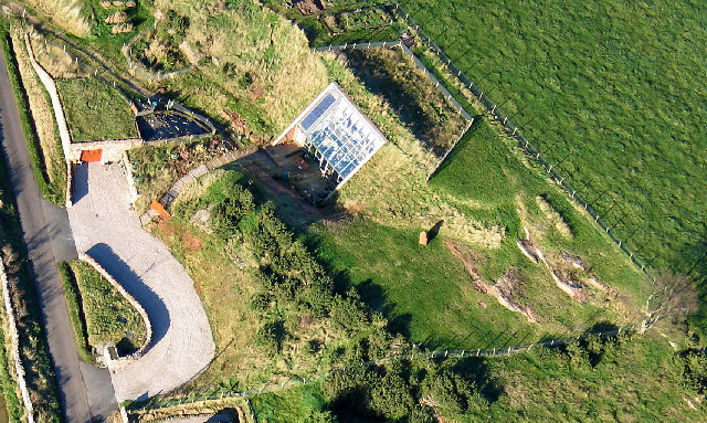
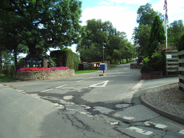
![Rutter Force Waterfalls on Hoff Beck. The mill to the right was used to generate electricity for the nearby village of Great Asby. There is now a tearoom at Rutter.
Update to comment [Feb 07]: The tearoom is no longer open as it's been changed to a self-catering apartment. The mill in the photo is also now a self-catering apartment.](https://s3.geograph.org.uk/photos/01/90/019099_f6a6ffad.jpg)

Great Ormside Moor is located at Grid Ref: NY6915 (Lat: 54.534456, Lng: -2.4804124)
Administrative County: Cumbria
District: Eden
Police Authority: Cumbria
What 3 Words
///mailboxes.tile.float. Near Appleby-in-Westmorland, Cumbria
Nearby Locations
Related Wikis

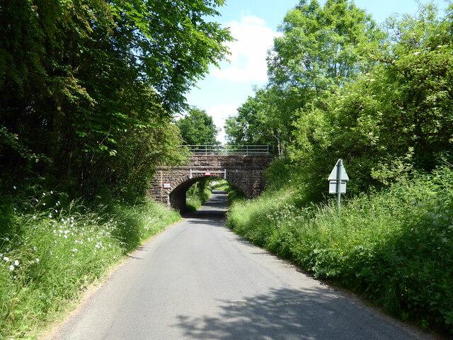
Ormside railway station
Ormside railway station was a station at Ormside, England, on the Midland Railway Settle-Carlisle Line. It was located 33+1⁄4 miles (53.5 km) south of...

Great Ormside
Great Ormside is a small village in the parish of Ormside, in the Eden District, in the English county of Cumbria. It is a few miles away from the small...

Drybeck
Drybeck is a hamlet in the Eden district in the English county of Cumbria. It is near the town of Appleby-in-Westmorland. It is on Dry Beck and has a...
Little Ormside
Little Ormside is a hamlet in the parish of Ormside, in the Eden District, in the English county of Cumbria. == Location == It is a few miles away from...

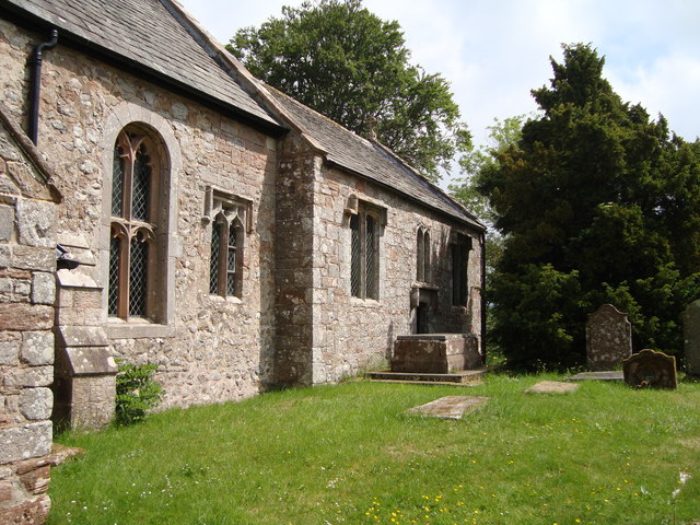
St James' Church, Great Ormside
St James' Church is in the village of Great Ormside, Cumbria, England. It is an active Anglican parish church in the deanery of Appleby, the archdeaconry...

Hoff, Cumbria
Hoff is a hamlet and civil parish in the Eden district of the county of Cumbria, England. At the 2001 census the parish had a population of 189, decreasing...
Ormside
Ormside is a civil parish in the Eden District of Cumbria, England, which includes the village of Great Ormside and the hamlet of Little Ormside. It had...

Settle–Carlisle line
The Settle–Carlisle line (also known as the Settle and Carlisle (S&C)) is a 73-mile-long (117 km) main railway line in northern England. The route, which...
Nearby Amenities
Located within 500m of 54.534456,-2.4804124Have you been to Great Ormside Moor?
Leave your review of Great Ormside Moor below (or comments, questions and feedback).