Leonard Moss
Downs, Moorland in Yorkshire Craven
England
Leonard Moss
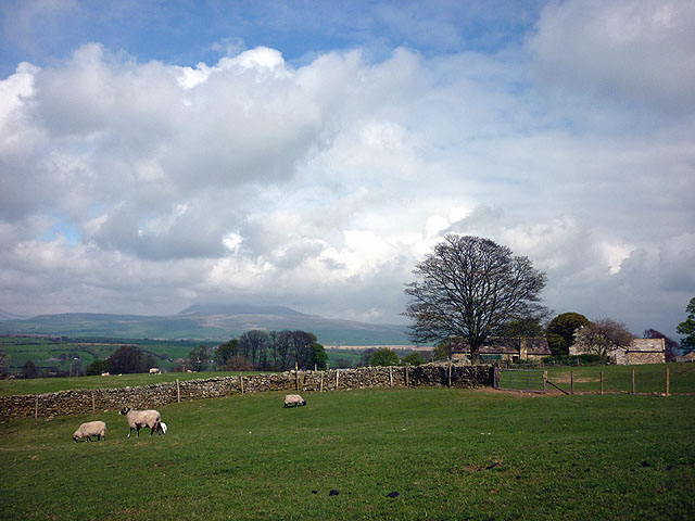
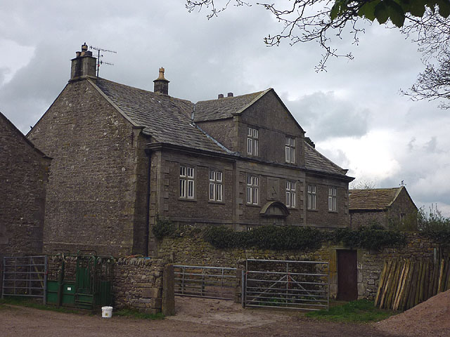
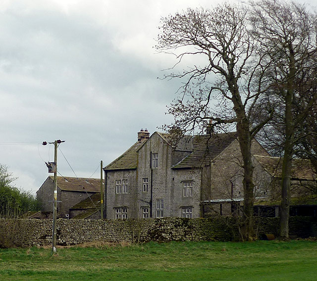
Leonard Moss is a small village located in the county of Yorkshire, England. Situated amidst the picturesque landscape of the Yorkshire Downs and Moorland, the village offers breathtaking views and a tranquil atmosphere for residents and visitors alike.
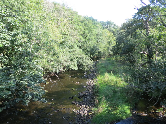
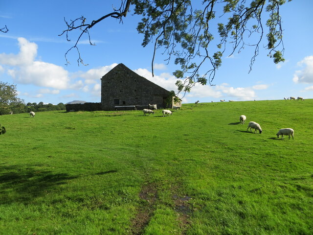
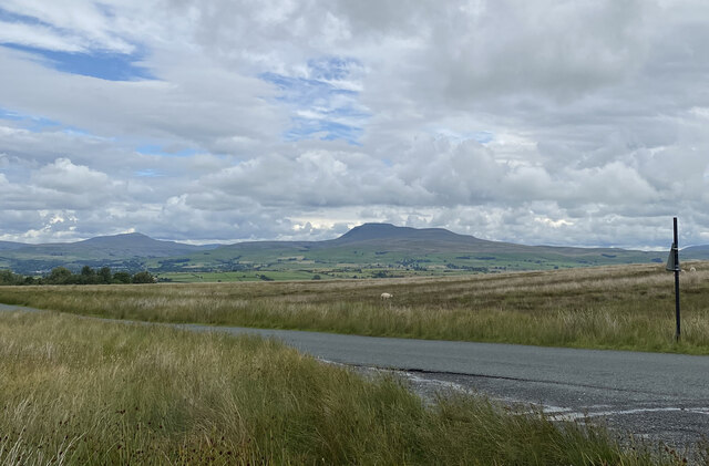
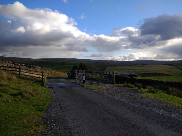
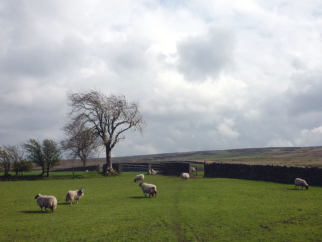
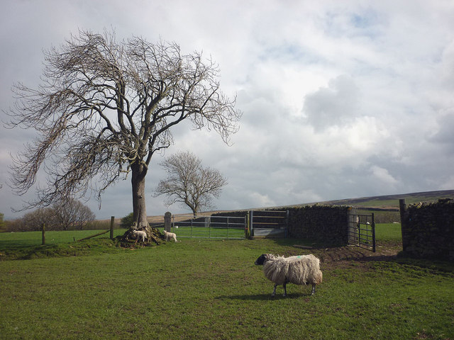
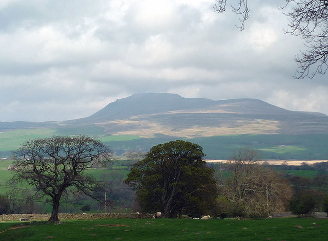
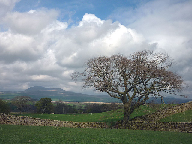
The village is known for its idyllic countryside surroundings, with rolling hills, lush green meadows, and vast open spaces. Leonard Moss is a haven for nature enthusiasts, offering numerous walking trails and hiking routes that showcase the area's natural beauty. The Yorkshire Downs, with their stunning vistas and diverse wildlife, provide ample opportunities for outdoor activities such as birdwatching and photography.
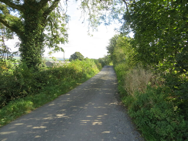
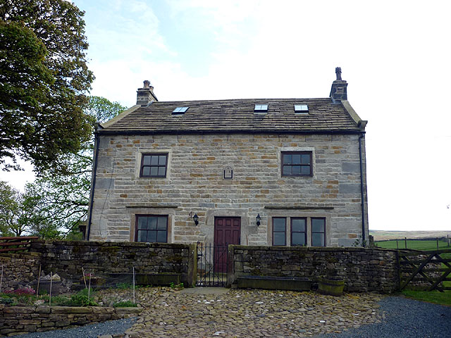
Despite its rural setting, Leonard Moss is well-connected to neighboring towns and cities. The village has a small but vibrant community, with a range of amenities including a local pub, a village hall, and a primary school. The residents take pride in their close-knit community spirit, organizing regular events and social gatherings.
The village is steeped in history, with the remnants of ancient settlements and landmarks dotting the landscape. Visitors can explore historical sites such as the Leonard Moss Church, a charming medieval building that stands as a testament to the village's heritage.
Leonard Moss offers a peaceful retreat from the bustling city life, making it an ideal destination for those seeking a serene countryside experience. With its stunning natural surroundings, warm community spirit, and rich history, Leonard Moss is a hidden gem in the heart of Yorkshire.
If you have any feedback on the listing, please let us know in the comments section below.
Leonard Moss Images
Images are sourced within 2km of 54.093417/-2.4842746 or Grid Reference SD6866. Thanks to Geograph Open Source API. All images are credited.


Leonard Moss is located at Grid Ref: SD6866 (Lat: 54.093417, Lng: -2.4842746)
Division: West Riding
Administrative County: North Yorkshire
District: Craven
Police Authority: North Yorkshire
What 3 Words
///lurching.puncture.freed. Near High Bentham, North Yorkshire
Nearby Locations
Related Wikis

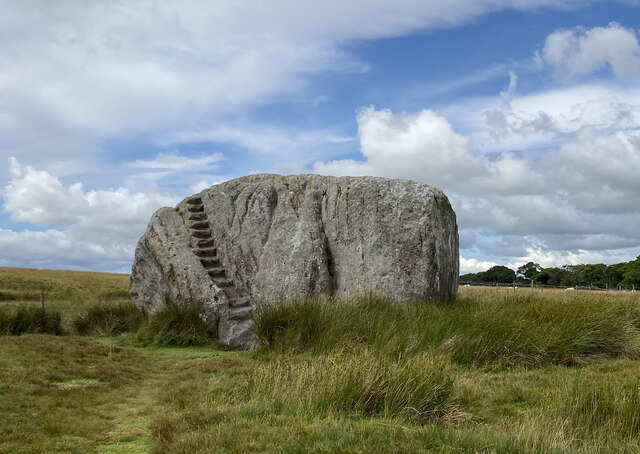
Great Stone of Fourstones
The Great Stone of Fourstones, or the Big Stone as it is known locally, is a glacial deposit on the moorlands of Tatham Fells, England, straddling the...

St Margaret's Church, High Bentham
St Margaret's Church is in Station Road, High Bentham, North Yorkshire, England. It is an Anglican parish church in the deanery of Ewecross, the archdeaconry...

Keasden Beck
Keasden Beck is a stream in Yorkshire (formerly the West Riding) rising near Keasden Head, joining the River Wenning south west of Clapham. == References... ==

Bentham railway station
Bentham is a railway station on the Bentham Line, which runs between Leeds and Morecambe via Skipton. The station, situated 19 miles (31 km) east of Lancaster...
Nearby Amenities
Located within 500m of 54.093417,-2.4842746Have you been to Leonard Moss?
Leave your review of Leonard Moss below (or comments, questions and feedback).