Washing Green
Downs, Moorland in East Lothian
Scotland
Washing Green
Washing Green, located in East Lothian, Scotland, is a picturesque area known for its captivating downs and moorland landscapes. The region boasts a rich history and offers breathtaking natural beauty to visitors and locals alike.
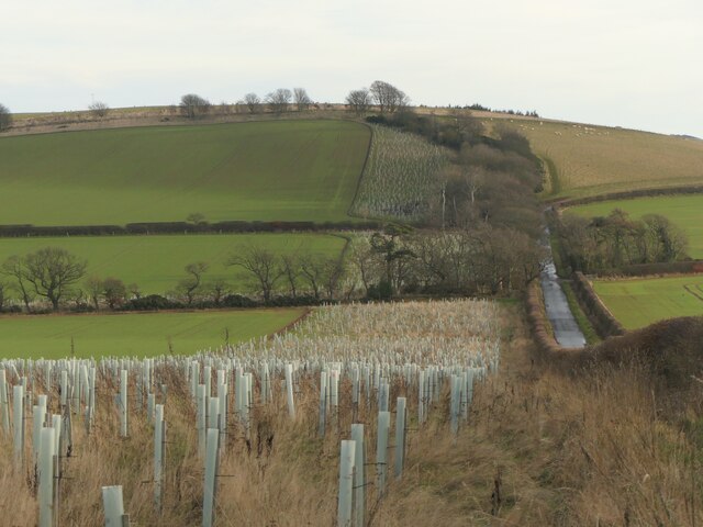
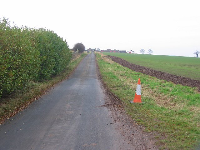
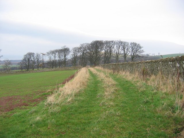
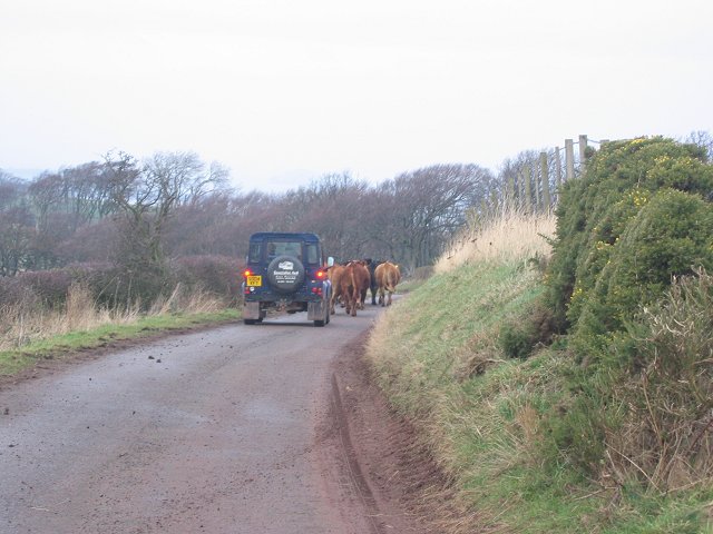
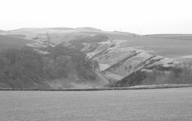
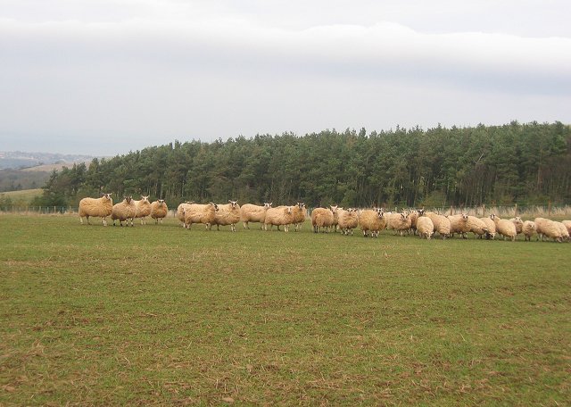
The downs of Washing Green are characterized by rolling hills covered in lush green grass and dotted with vibrant wildflowers. These open spaces provide a haven for wildlife and offer stunning panoramic views of the surrounding countryside. The area is a popular destination for walkers, hikers, and nature enthusiasts who can explore the numerous trails that traverse the downs.
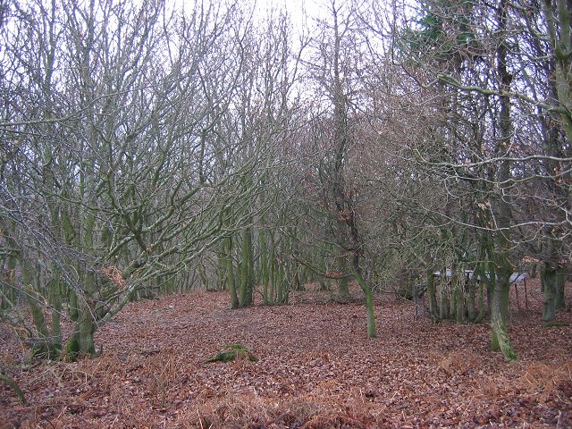
In contrast, the moorland of Washing Green presents a different landscape altogether. It consists of vast stretches of heather-covered terrain interspersed with small lochs and marshes. The moorland is home to a diverse range of flora and fauna, including various species of birds, insects, and wildflowers. The tranquil atmosphere of this area makes it an ideal spot for birdwatching and nature photography.
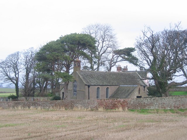
Washing Green is not only known for its natural beauty but also for its historical significance. The region is home to several ancient sites and ruins, including prehistoric settlements and burial mounds. These archaeological sites offer a glimpse into the area's past and attract history enthusiasts from around the world.
Overall, Washing Green in East Lothian is a captivating destination that combines stunning downs and moorland landscapes with a rich historical heritage. Whether visitors are seeking outdoor adventures, wildlife encounters, or a journey through time, Washing Green offers something for everyone.
If you have any feedback on the listing, please let us know in the comments section below.
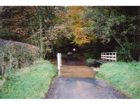
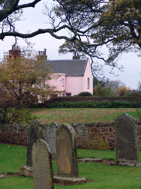
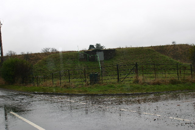
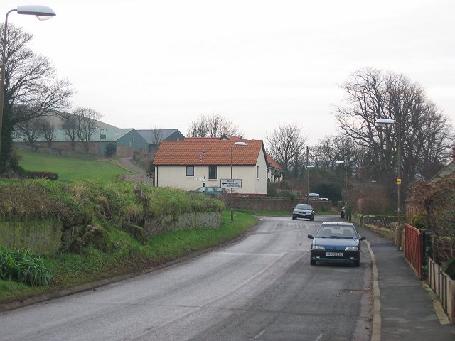
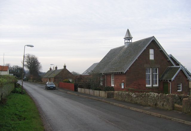
Washing Green Images
Images are sourced within 2km of 55.968329/-2.5174669 or Grid Reference NT6775. Thanks to Geograph Open Source API. All images are credited.


Washing Green is located at Grid Ref: NT6775 (Lat: 55.968329, Lng: -2.5174669)
Unitary Authority: East Lothian
Police Authority: The Lothians and Scottish Borders
What 3 Words
///manicured.devotion.firebird. Near Dunbar, East Lothian
Nearby Locations
Related Wikis

Spott, East Lothian
Spott is a small village on the eastern fringes of East Lothian in Scotland, just over 2 miles (3.2 km) south-west of Dunbar. The village straddles an...

Battle of Dunbar (1296)
The Battle of Dunbar was the only significant field action of the campaign of 1296 during the beginning of the First War of Scottish Independence. ��2...
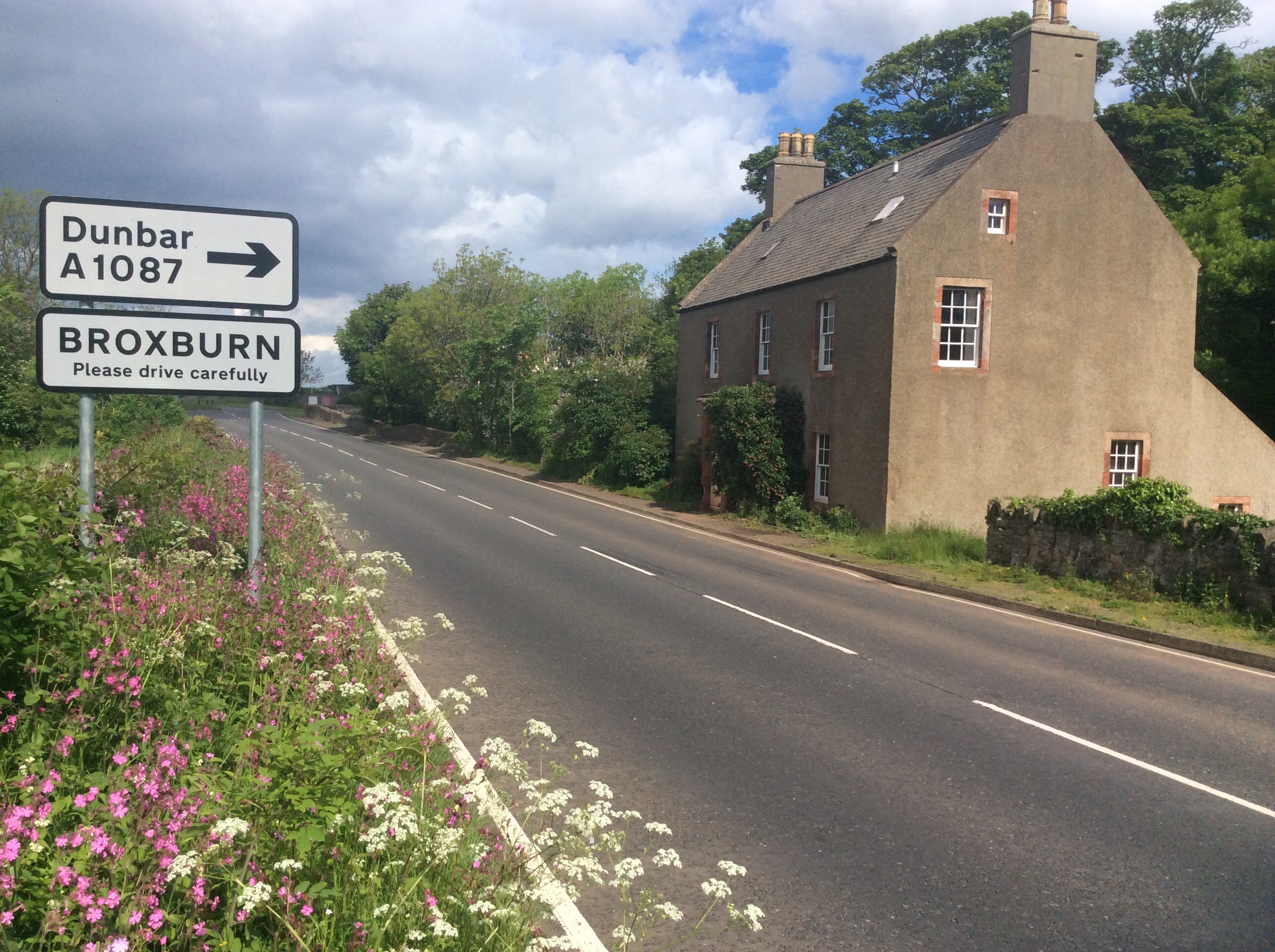
Broxburn, East Lothian
Broxburn is a hamlet consisting of a handful of scattered houses which serve the Broxmouth estate in East Lothian, Scotland. It is named after the stream...

Battle of Dunbar (1650)
The Battle of Dunbar was fought between the English New Model Army, under Oliver Cromwell, and a Scottish army commanded by David Leslie on 3 September...
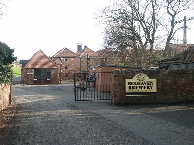
Belhaven Brewery
Belhaven Brewery is a brewery based in Belhaven, Scotland. The brewery dates from 1719, at least; by 2005 it had become the largest and oldest surviving...

Belhaven Hospital
Belhaven Hospital is a community hospital in Beveridge Row, Dunbar, East Lothian. The hospital is managed by NHS Lothian. == History == The hospital was...
Dunbar United F.C.
Dunbar United Football Club is a Scottish football club from the town of Dunbar, East Lothian. The club operates on a semi-professional basis, playing...
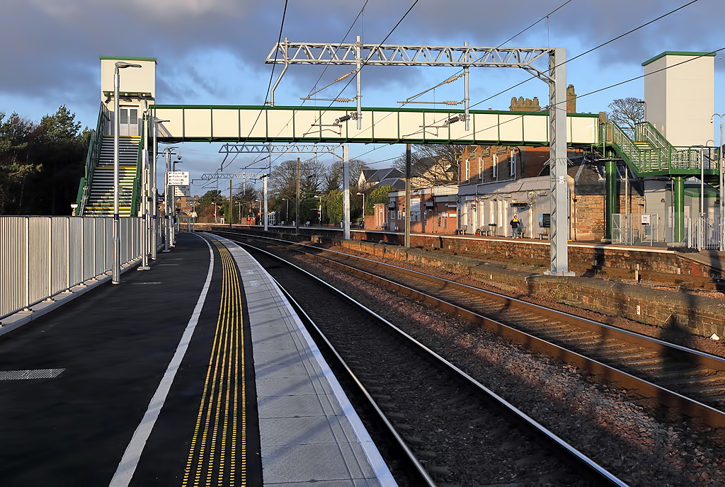
Dunbar railway station
Dunbar railway station serves the town of Dunbar in East Lothian, Scotland. It is located on the East Coast Main Line and is a two platform station. It...
Nearby Amenities
Located within 500m of 55.968329,-2.5174669Have you been to Washing Green?
Leave your review of Washing Green below (or comments, questions and feedback).