Smithills Dean

Downs, Moorland in Lancashire

England

Smithills Dean

Cattle grid and barrier on the road down from Winter Hill Downhill traffic can bypass the barrier by driving over the collapsible row of spikes to the left, but woe betide anyone trying to drive the other way! Extensive views of the South Lancashire plain beyond.
Cattle grid and barrier on the road down from Winter Hill Credit: Oliver Dixon

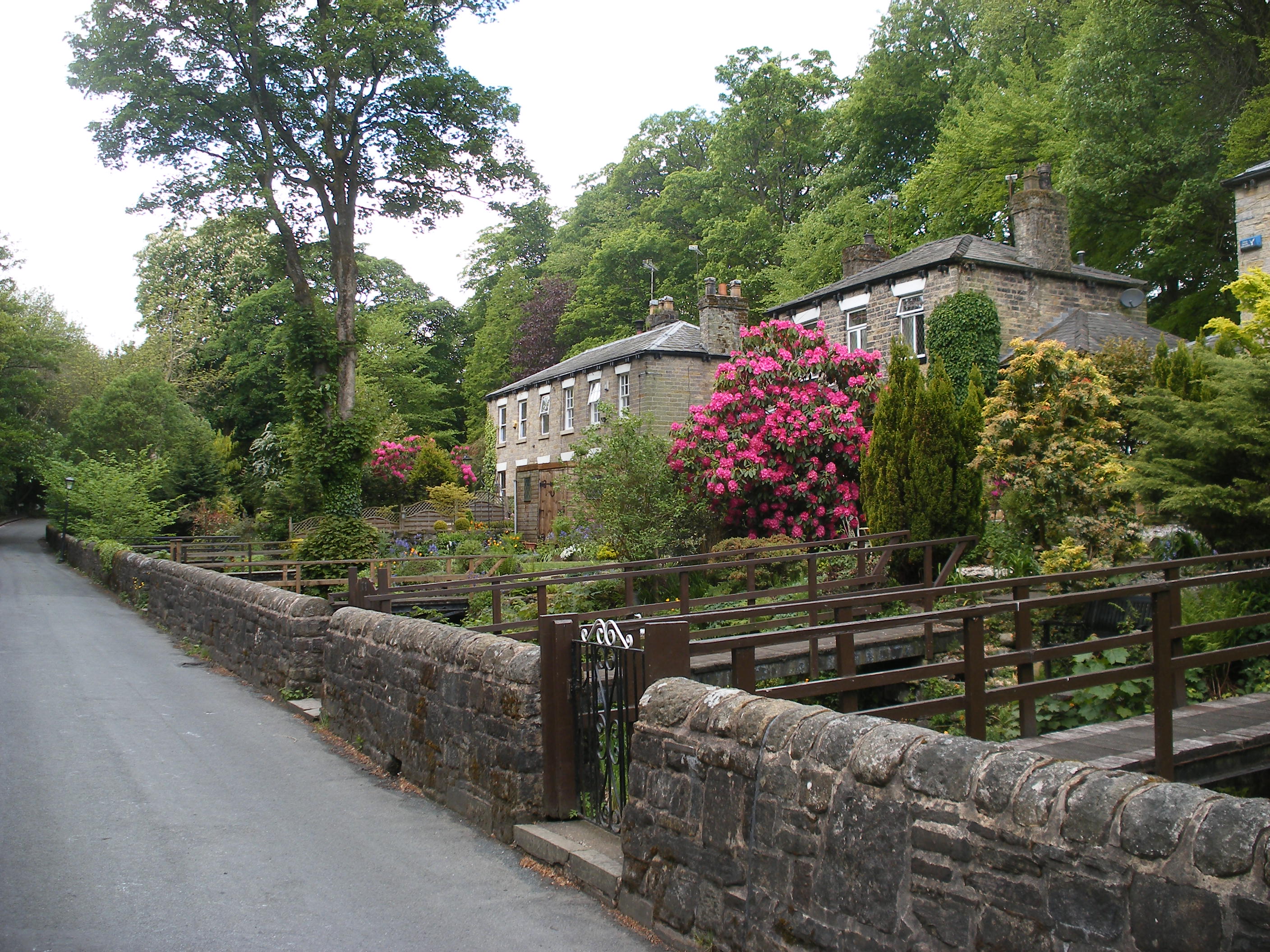
Smithills Dean is a picturesque and historic area located in the county of Lancashire, England. Situated on the outskirts of Bolton, it is a well-known beauty spot that combines stunning natural landscapes with a rich cultural heritage.

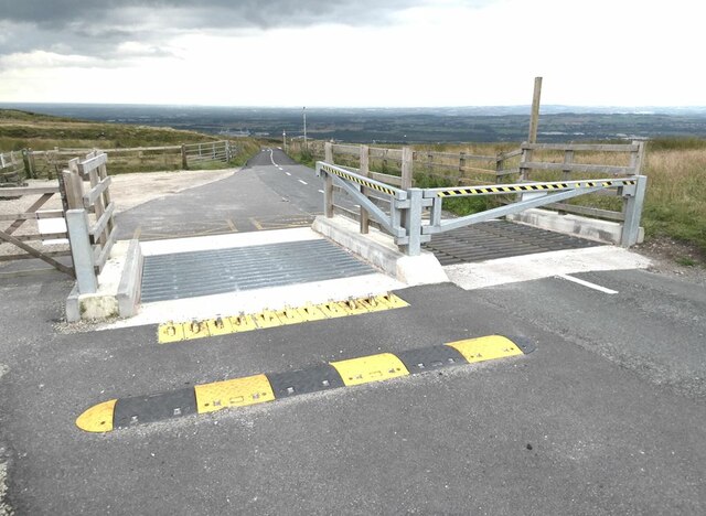
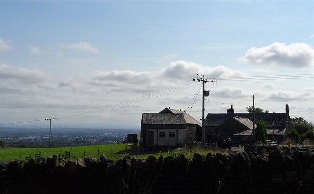
Covering an expansive area, Smithills Dean is characterized by its diverse terrain, encompassing downs and moorland. The downs offer rolling hills and grassy slopes, while the moorland consists of vast stretches of open heathland. These landscapes provide an idyllic setting for outdoor activities such as hiking, walking, and wildlife observation.

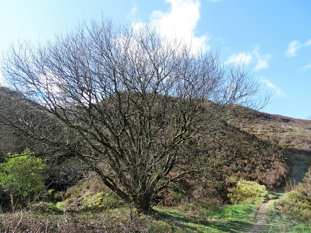
The area is home to a wide variety of flora and fauna, including heather, bracken, and bilberry bushes, as well as various species of birds, insects, and small mammals. Visitors can expect to see beautiful wildflowers in the spring and summer months, creating a colorful tapestry amidst the greenery.

Smithills Dean also holds historical significance, with ancient ruins and remnants of its past scattered throughout the area. The ruins of Smithills Hall, a medieval manor house dating back to the 14th century, can be found at the heart of the dean. The hall's impressive architecture and well-preserved features offer visitors a glimpse into Lancashire's rich history.

Overall, Smithills Dean in Lancashire is a captivating destination that seamlessly blends natural beauty with cultural heritage. Whether exploring the rolling downs, traversing the moorland, or discovering the historical ruins, visitors are sure to be enchanted by this tranquil and enchanting corner of the county.

If you have any feedback on the listing, please let us know in the comments section below.

Smithills Dean Images

Images are sourced within 2km of 53.610457/-2.4886587 or Grid Reference SD6712. Thanks to Geograph Open Source API. All images are credited.

Cattle grid and barrier on the road down from Winter Hill Downhill traffic can bypass the barrier by driving over the collapsible row of spikes to the left, but woe betide anyone trying to drive the other way! Extensive views of the South Lancashire plain beyond.
Cattle grid and barrier on the road down from Winter Hill
Downhill traffic can bypass the barrier by driving over the collapsible row of spikes to the left, but woe betide anyone trying to drive the other way! Extensive views of the South Lancashire plain beyond.
Old Colliers Row There are two rows of stone cottages on Colliers Row Road. New Colliers Row stands some metres to the east of this row.
Old Colliers Row
There are two rows of stone cottages on Colliers Row Road. New Colliers Row stands some metres to the east of this row.
Walker Fold Farm The farmhouse and farm buildings have been converted into houses. The buildings in the background are at Higher Tongs - once a farm but now a livery yard.
Walker Fold Farm
The farmhouse and farm buildings have been converted into houses. The buildings in the background are at Higher Tongs - once a farm but now a livery yard.
Tree felling on the Smithills estate Larch trees in the wood were found to be infected by the disease phytophthora ramorum and must be felled by law. Horses rather than machinery are used to take away the felled timber to minimise damage to the environment. Replanting will take place in due course.
Tree felling on the Smithills estate
Larch trees in the wood were found to be infected by the disease phytophthora ramorum and must be felled by law. Horses rather than machinery are used to take away the felled timber to minimise damage to the environment. Replanting will take place in due course.
Lower Tongs Viewed here from Walker Fold, Lower Tongs was once a farm and is now a pine timber supply business.
Lower Tongs
Viewed here from Walker Fold, Lower Tongs was once a farm and is now a pine timber supply business.
Tumbledown wall Beside a somewhat overgrown path on Walker Fold Brow.
Tumbledown wall
Beside a somewhat overgrown path on Walker Fold Brow.
Walker Fold car park Plenty of cars on the facility on a sunny September morning.
Walker Fold car park
Plenty of cars on the facility on a sunny September morning.
Winter Hill The access road leading up to the mast site at Winter Hill.
Winter Hill
The access road leading up to the mast site at Winter Hill.
Stream off Colliers Row Road The stream drains off Smithills Moor and joins Dean Brook near Barrow Bridge.
Stream off Colliers Row Road
The stream drains off Smithills Moor and joins Dean Brook near Barrow Bridge.
Path on Horrocks Moor Off Scout Road and near the now disused Horrocks Fold quarry.
Path on Horrocks Moor
Off Scout Road and near the now disused Horrocks Fold quarry.
About turn Road works on Chorley Old Road. The pub on the right, the Blundell Arms, is a Grade II listed building.
About turn
Road works on Chorley Old Road. The pub on the right, the Blundell Arms, is a Grade II listed building.
Walker Fold Road, Bolton
A view of Bolton From Colliers Row Road.
A view of Bolton
From Colliers Row Road.
Rough pasture Off Colliers Row Road.
Rough pasture
Off Colliers Row Road.
Road junction The junction of Smithills Dean Road, Coal Pit Road, Colliers Row Road and Scout Road.
Road junction
The junction of Smithills Dean Road, Coal Pit Road, Colliers Row Road and Scout Road.
Bryan Hey Farm Off Scout Road in north Bolton.
Bryan Hey Farm
Off Scout Road in north Bolton.
Horses grazing Near Higher Tongs off Colliers Row Road.
Horses grazing
Near Higher Tongs off Colliers Row Road.
Smithills Dean Road At the top of the hill this road meets Coal Pit Road, Colliers Row Road and Scout Road.
Smithills Dean Road
At the top of the hill this road meets Coal Pit Road, Colliers Row Road and Scout Road.
Show me another place!

Smithills Dean is located at Grid Ref: SD6712 (Lat: 53.610457, Lng: -2.4886587)

Unitary Authority: Bolton

Police Authority: Greater Manchester

What 3 Words

///ends.sports.brick. Near Horwich, Manchester

Related Wikis

Dean Mills Reservoir

Dean Mills Reservoir is a small water reservoir to the north of the town of Bolton, Greater Manchester located high on the slopes of Winter Hill. The reservoir...

Barrow Bridge, Bolton

Barrow Bridge is a model village in the north-west outskirts of Bolton in Greater Manchester, England. It was created in the Industrial Revolution but...

Smithills

Smithills is a mainly residential suburb of Bolton in Greater Manchester, England. It is 3.1 miles (5 km) northwest of Bolton, 14.5 miles (23 km) south...

Moss Bank Park, Bolton

Moss Bank Park is a 34.25 hectares (84.6 acres) park in Bolton, Greater Manchester, England. It consists of open space, woodland, gardens and other facilities...

Nearby Amenities

Located within 500m of 53.610457,-2.4886587
The data included in this document is from www.openstreetmap.org. The data is made available under ODbL.

Have you been to Smithills Dean?

Leave your review of Smithills Dean below (or comments, questions and feedback).