Blenkinsopp Castle Home Park
Downs, Moorland in Northumberland
England
Blenkinsopp Castle Home Park
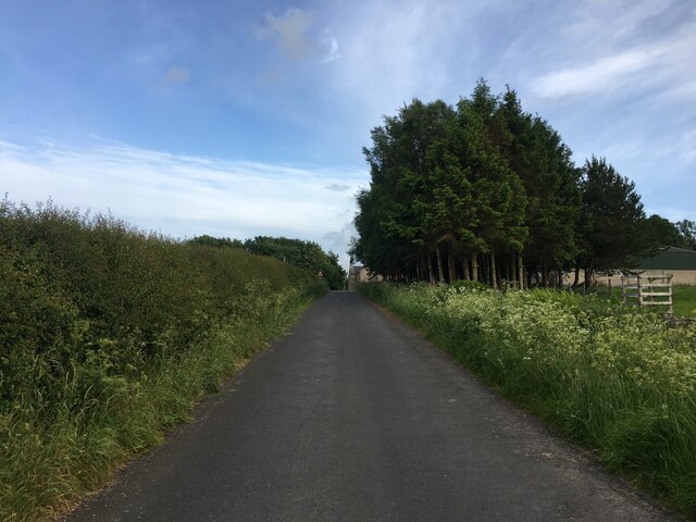
Blenkinsopp Castle Home Park is a stunning and expansive estate located in the picturesque region of Northumberland, England. Situated amidst the enchanting Downs and Moorland, this park offers a tranquil and idyllic setting, making it a perfect retreat for nature lovers and outdoor enthusiasts.
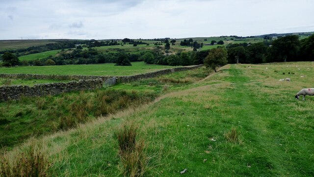
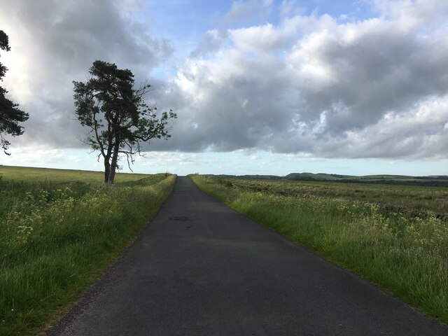
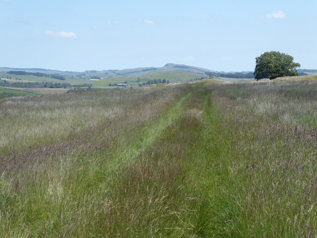
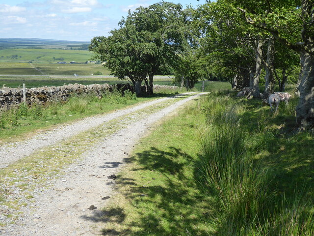
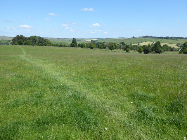
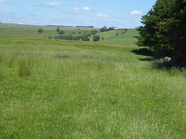
Covering a vast area, Blenkinsopp Castle Home Park showcases the diverse and captivating beauty of the Northumberland landscape. The park is characterized by rolling hills, expansive meadows, and enchanting forests, providing visitors with a wide range of outdoor activities to indulge in. From leisurely strolls along well-maintained trails to adventurous hikes through rugged terrains, there is something for everyone to enjoy.
The park is home to a rich variety of flora and fauna, adding to its natural charm. Visitors can spot an array of wildlife, including deer, rabbits, and various bird species. The park's management takes great care in preserving the natural habitat, ensuring a harmonious coexistence between humans and nature.
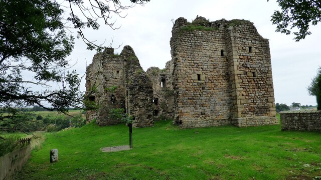
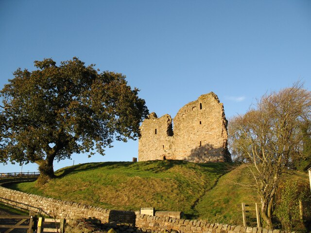
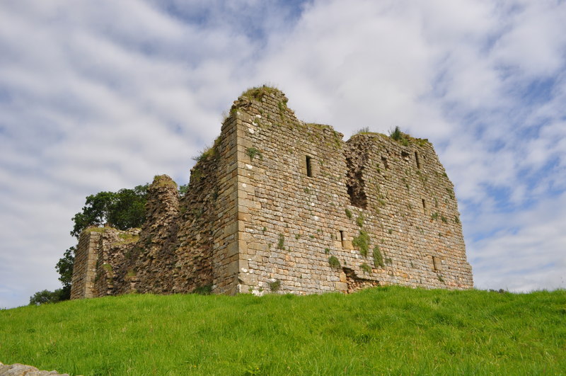
Blenkinsopp Castle Home Park also boasts historical significance, with the remnants of the Blenkinsopp Castle dating back to the 13th century. Exploring the castle ruins provides a glimpse into the region's intriguing past, offering a fascinating experience for history enthusiasts.
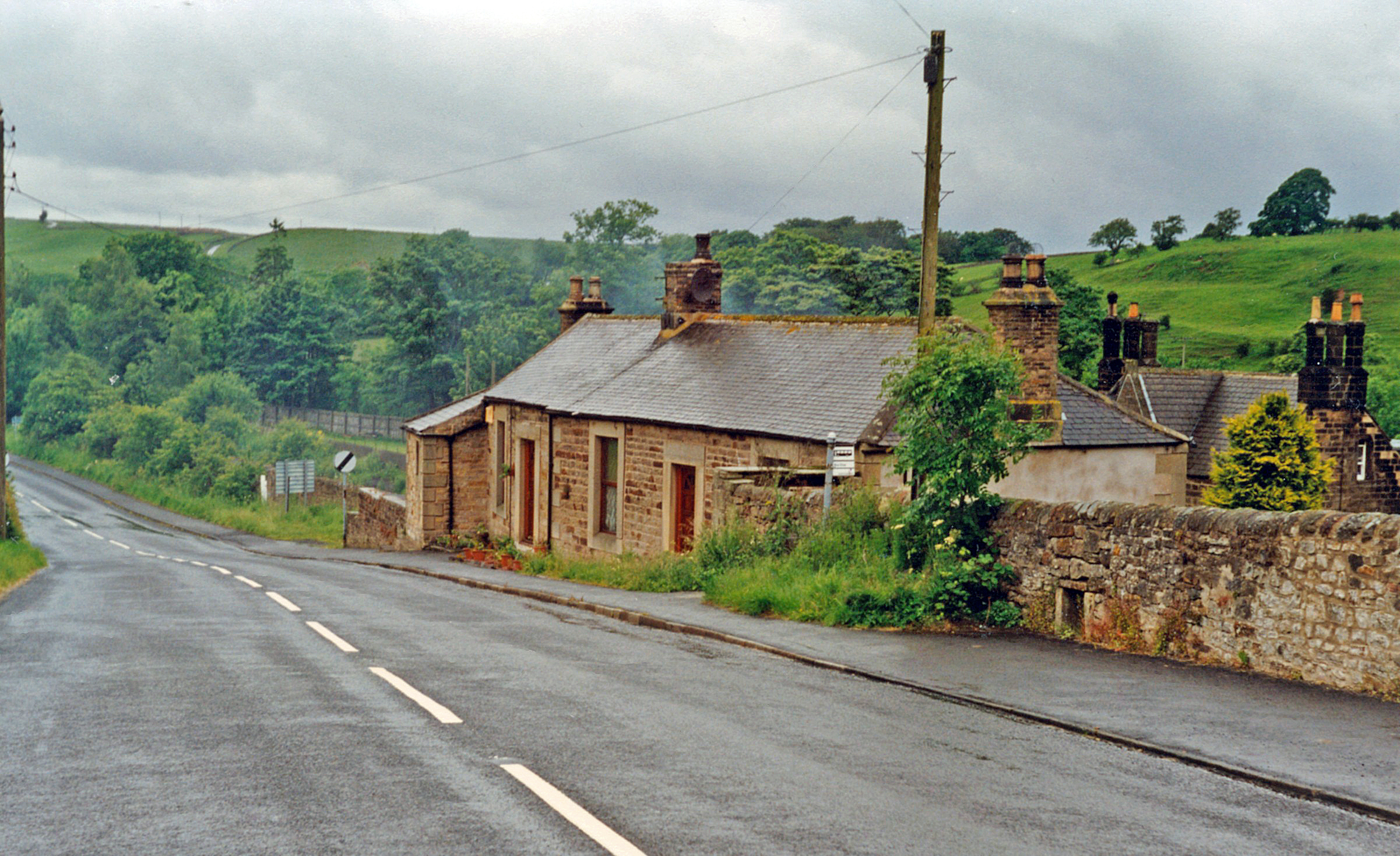
In addition to its natural and historical attractions, the park provides modern amenities for visitors. Well-equipped picnic areas, visitor centers, and parking facilities ensure a comfortable and convenient visit for all. Overall, Blenkinsopp Castle Home Park offers a captivating blend of natural beauty, historical significance, and modern amenities, making it a must-visit destination in Northumberland.
If you have any feedback on the listing, please let us know in the comments section below.
Blenkinsopp Castle Home Park Images
Images are sourced within 2km of 54.971624/-2.526922 or Grid Reference NY6664. Thanks to Geograph Open Source API. All images are credited.


Blenkinsopp Castle Home Park is located at Grid Ref: NY6664 (Lat: 54.971624, Lng: -2.526922)
Unitary Authority: Northumberland
Police Authority: Northumbria
What 3 Words
///hence.modes.sides. Near Greenhead, Northumberland
Related Wikis

Blenkinsopp Castle
Blenkinsopp Castle (spelled Blenkinsop in many records) is a fire-damaged, partly demolished 19th-century country mansion, incorporating the ruinous remains...

Greenhead, Northumberland
Greenhead is a village in Northumberland, England. The village is on the Military Road (B6318), about 17 miles (27 km) from Chollerford, 3 miles (5 km...
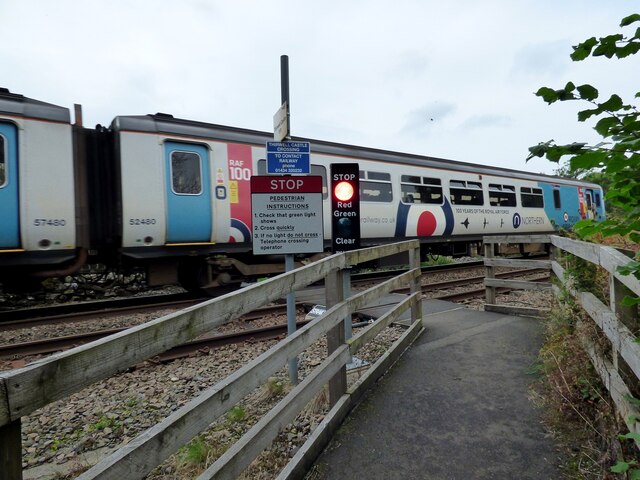
Greenhead railway station
Greenhead was a former railway station, which served the village of Greenhead, Northumberland in Northumberland between 1836 and 1967. == History == The...

Magnis (Carvoran)
Magnis or Magna was a Roman fort on Hadrian's Wall in northern Britain. Its ruins are now known as Carvoran Roman Fort and are located near Carvoran, Northumberland...

Milecastle 46
Milecastle 46 (Carvoran) was a milecastle on Hadrian's Wall (grid reference NY66466601). == Description == Milecastle 46 is just west of the Vallum deviation...

Blenkinsop Hall
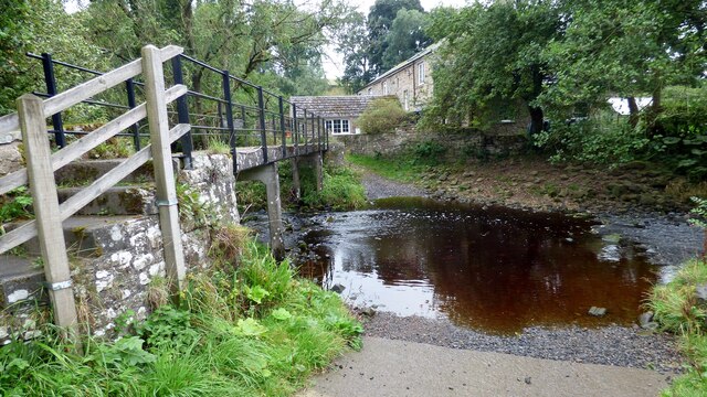
Blenkinsop Hall (grid reference NY68186412) is a privately owned castellated 19th-century country house situated on the banks of the Tipalt Burn near Greenhead...
Thirlwall Castle
Thirlwall Castle is a 12th-century castle in Northumberland, England, on the bank of the River Tipalt close to the village of Greenhead and approximately...

Milecastle 47
Milecastle 47 (Chapel House) was a milecastle on Hadrian's Wall (grid reference NY64906607). == Description == Milecastle 47 is about 270 metres east of...
Nearby Amenities
Located within 500m of 54.971624,-2.526922Have you been to Blenkinsopp Castle Home Park?
Leave your review of Blenkinsopp Castle Home Park below (or comments, questions and feedback).