Coach Brae
Downs, Moorland in Banffshire
Scotland
Coach Brae
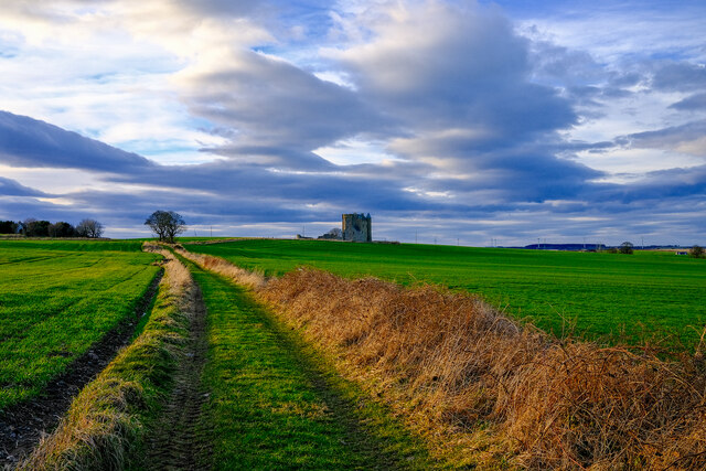
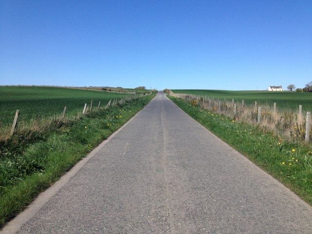
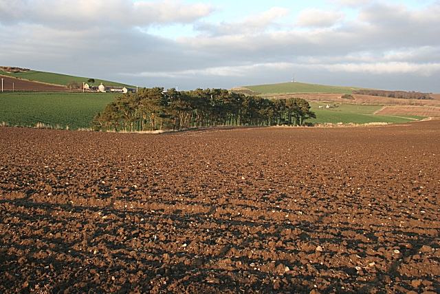
Coach Brae is a small area located in Banffshire, Scotland. Situated on the eastern coast of the country, it is known for its picturesque landscapes and diverse natural surroundings. The region is characterized by its combination of downs and moorland, creating a unique and beautiful environment.
The downs of Coach Brae are rolling hills covered in lush greenery, providing a scenic backdrop for the area. These gentle slopes offer breathtaking views of the surrounding countryside, making it a popular spot for nature enthusiasts and hikers. The moorland, on the other hand, is a vast expanse of open land covered in heather and grasses. This rugged terrain adds to the charm of Coach Brae and is home to various species of wildlife, including birds, deer, and small mammals.
The climate in Coach Brae is typically mild, with cool summers and relatively mild winters. The area experiences a moderate amount of rainfall throughout the year, which contributes to the rich vegetation and thriving ecosystem. The landscape of Coach Brae is further adorned by small streams and rivers that meander through the downs and moorland, creating a serene and tranquil atmosphere.
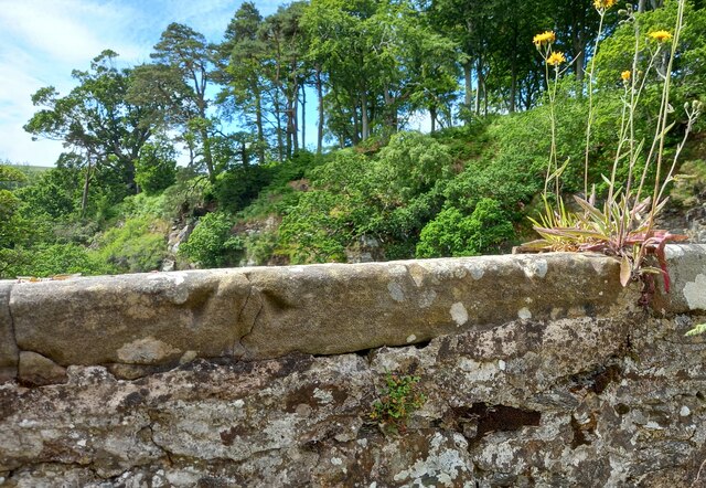
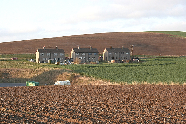
Despite its remote location, Coach Brae is well-connected to nearby towns and cities, offering a peaceful retreat while still providing easy access to amenities and services. The area is also known for its historical significance, with ancient ruins and archaeological sites scattered throughout the region, providing a glimpse into its past.
Overall, Coach Brae in Banffshire is a captivating destination, offering a combination of downs, moorland, and natural beauty that is sure to leave visitors in awe.
If you have any feedback on the listing, please let us know in the comments section below.
Coach Brae Images
Images are sourced within 2km of 57.633302/-2.5666241 or Grid Reference NJ6660. Thanks to Geograph Open Source API. All images are credited.


Coach Brae is located at Grid Ref: NJ6660 (Lat: 57.633302, Lng: -2.5666241)
Unitary Authority: Aberdeenshire
Police Authority: North East
What 3 Words
///tickling.tablet.crinkled. Near Banff, Aberdeenshire
Nearby Locations
Related Wikis
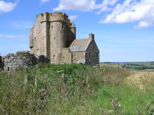
Inchdrewer Castle
Inchdrewer Castle is a 16th-century tower house in the parish of Banff, Aberdeenshire, in the north-east of Scotland. Situated on a slight rise 3.5 miles...

Ladysbridge railway station
Ladysbridge railway station was a station in Aberdeenshire, Scotland. Opened as Lady's Bridge railway station in 1859 it was renamed Ladysbridge railway...

Ladysbridge Hospital
Ladysbridge Hospital was a mental health facility near Banff, Aberdeenshire, Scotland. The former hospital is a Category B listed building. == History... ==

Banff Academy
Banff Academy is a S1–S6 secondary school in Banff, Aberdeenshire, Scotland. It serves the towns of Banff, Macduff, Whitehills, Portsoy, Aberchirder, Gardenstown...
Nearby Amenities
Located within 500m of 57.633302,-2.5666241Have you been to Coach Brae?
Leave your review of Coach Brae below (or comments, questions and feedback).