Birkgill Moss
Downs, Moorland in Westmorland Eden
England
Birkgill Moss
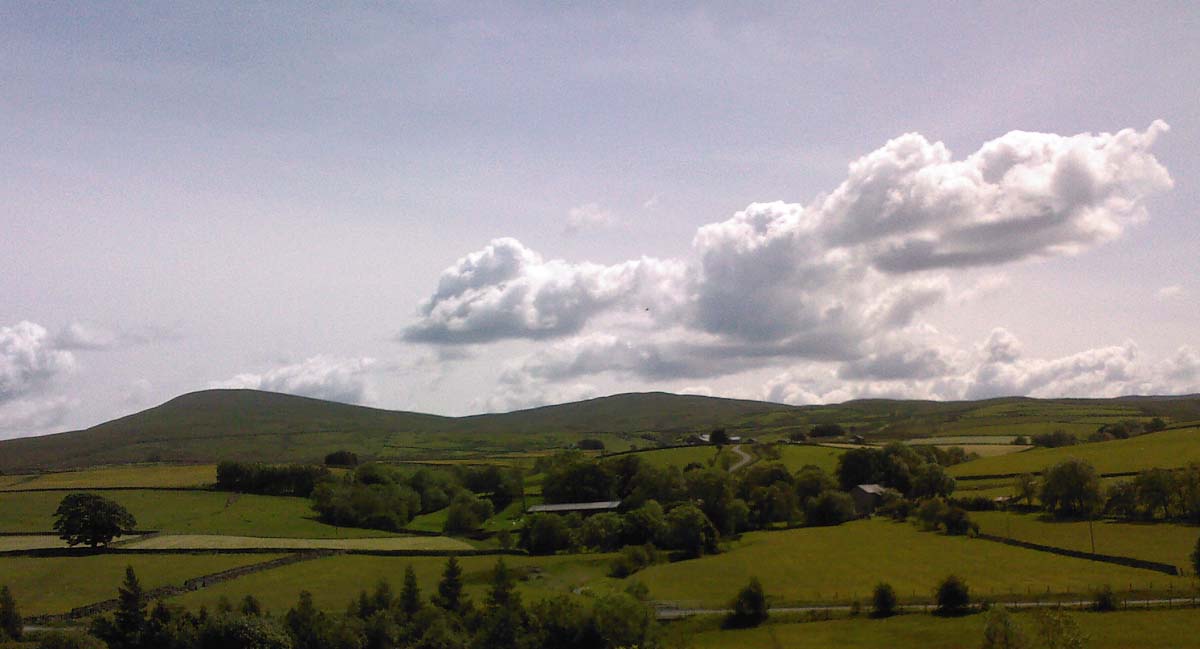
Birkgill Moss is a picturesque and tranquil area located in Westmorland, a historic county in the northwestern region of England. Nestled amidst the stunning landscape of the Downs and Moorland, it is a haven for nature lovers and outdoor enthusiasts.
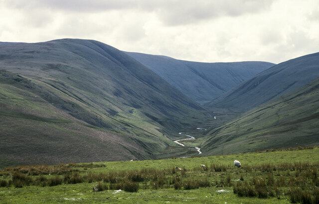
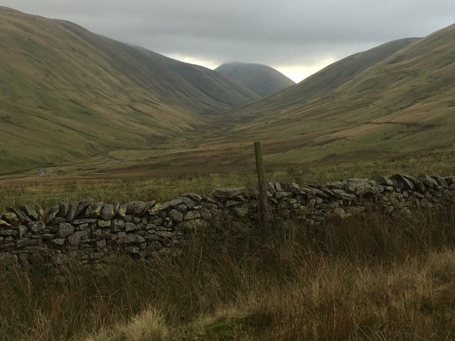
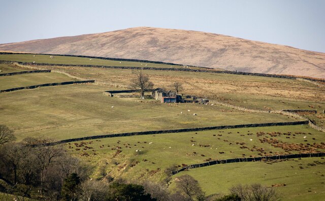
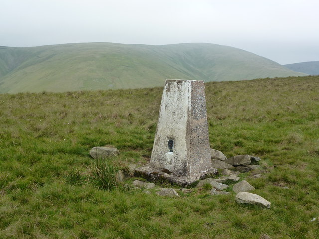
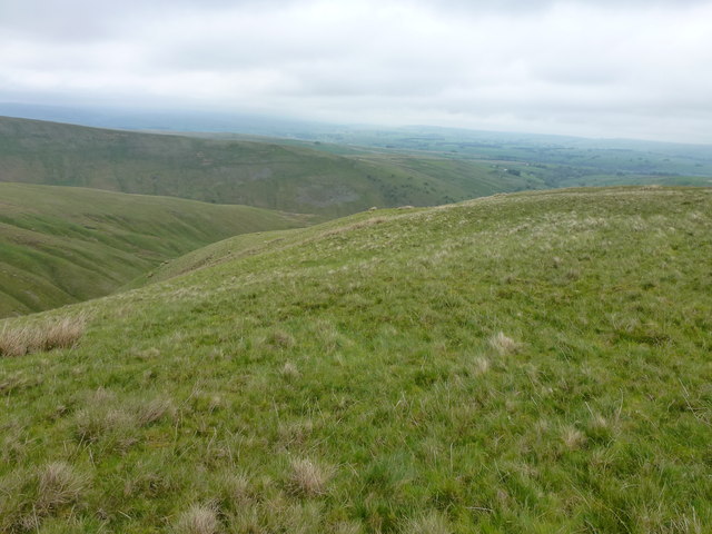
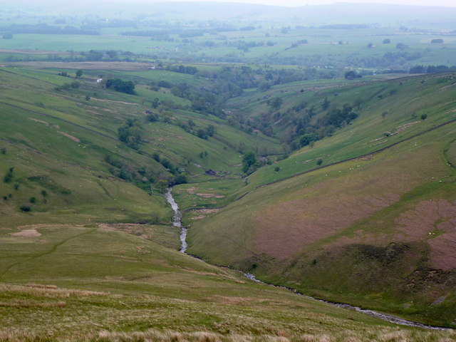
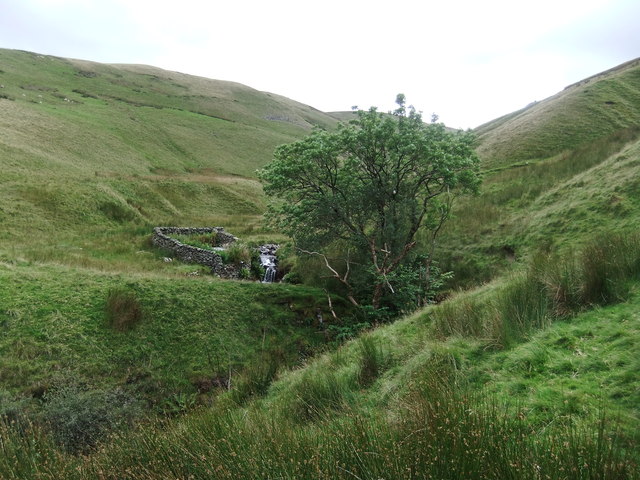
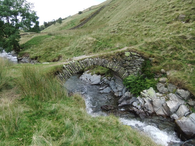
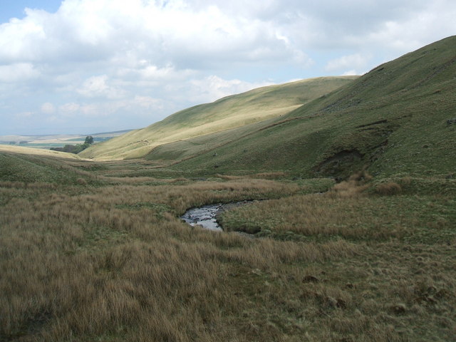
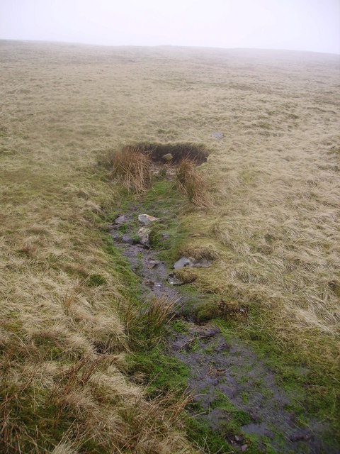
Covering a vast expanse of approximately 100 acres, Birkgill Moss is characterized by its unique combination of moorland and wetland habitats. The area boasts a diverse range of flora and fauna, making it a valuable ecological site. Visitors can expect to encounter a variety of plant species, including heather, sphagnum mosses, and cotton grass, which thrive in the area's damp and acidic conditions.
Birkgill Moss is also home to numerous bird species, making it a popular destination for birdwatchers. Visitors may spot the elusive curlew, golden plover, or red grouse, among others. The area's wetland environment attracts waterfowl, such as teal and wigeon, while birds of prey, including kestrels and buzzards, can be seen soaring above.
For those seeking tranquility and solitude, Birkgill Moss offers a peaceful retreat away from the hustle and bustle of daily life. The area features several walking trails, allowing visitors to explore its natural beauty at their own pace. The vast open spaces and breathtaking panoramic views make it an ideal location for photography and painting enthusiasts.
Overall, Birkgill Moss is a captivating natural landscape that showcases the beauty and diversity of Westmorland's Downs and Moorland. Whether you are a nature enthusiast, birdwatcher, or simply looking for a peaceful escape, this enchanting area is sure to leave a lasting impression.
If you have any feedback on the listing, please let us know in the comments section below.
Birkgill Moss Images
Images are sourced within 2km of 54.416826/-2.5254031 or Grid Reference NY6602. Thanks to Geograph Open Source API. All images are credited.


Birkgill Moss is located at Grid Ref: NY6602 (Lat: 54.416826, Lng: -2.5254031)
Administrative County: Cumbria
District: Eden
Police Authority: Cumbria
What 3 Words
///disbelief.rigs.sailors. Near Sedbergh, Cumbria
Nearby Locations
Related Wikis

Howgill Fells
The Howgill Fells are uplands in Northern England between the Lake District and the Yorkshire Dales, lying roughly within a triangle formed by the town...
Kelleth
Kelleth is a hamlet in Cumbria, England, containing around a dozen houses and formerly a toy factory. It is approximately 19 miles (31 km) from Penrith...

Bowderdale
Bowderdale is a hamlet in Cumbria, England, 6 miles (10 km) southwest of Kirkby Stephen. It is also the name of a dale in the Howgill Fells, the valley...

Weasdale
Weasdale is a small hamlet in Cumbria, England, 850 feet (260 m) above sea-level on the northern flanks of the Howgill Fells. It is located approximately...
Gaisgill railway station
Gaisgill railway station was situated on the South Durham & Lancashire Union Railway between Tebay and Kirkby Stephen East. It served the village of Gaisgill...

A685 road
The A685 is a road in Cumbria, England, that runs 28 miles (45 km) from Kendal to Brough. == Route == The A685 begins in Kendal town centre off the A6...
Weasdale Beck
Weasdale Beck is a stream in Cumbria, England. The Beck rises in Ravenstonedale and drains Leathgill Bridge on Randygill Top and Great Swindale, below...
Sandwath Beck
Sandwath Beck is a river running through Cumbria in England. The beck rises beneath Green Bell in Ravenstonedale as Dale Gill, changing its designation...
Have you been to Birkgill Moss?
Leave your review of Birkgill Moss below (or comments, questions and feedback).