Woolston Moss

Downs, Moorland in Lancashire

England

Woolston Moss

Approaching junction 21A on M6 northbound
Approaching junction 21A on M6 northbound Credit: Alpin Stewart

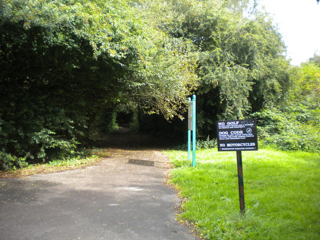
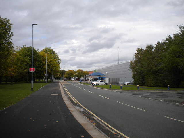
Woolston Moss, located in Lancashire, is a captivating area that encompasses diverse natural landscapes including downs, moorland, and moss. It is situated in the borough of Warrington, near the villages of Woolston and Martinscroft. Spanning approximately 1,000 acres, Woolston Moss is a designated Site of Special Scientific Interest (SSSI) due to its rich biodiversity and ecological value.

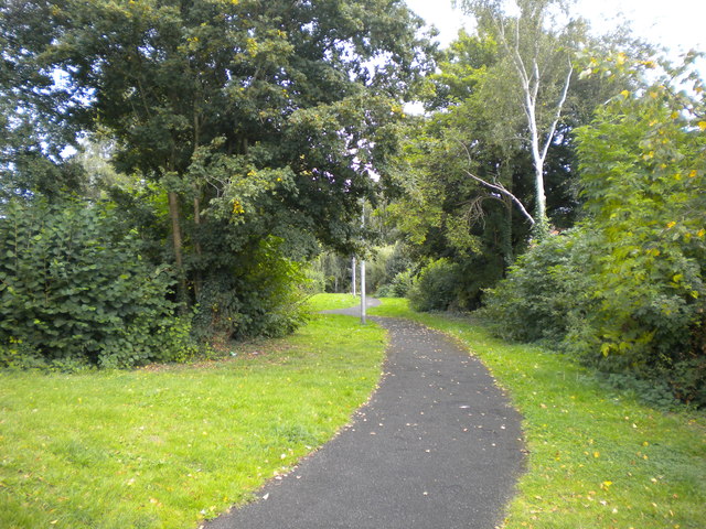
The mossland is characterized by a mosaic of habitats, ranging from wetland areas with peat bogs and reed beds to dry heathland and grassland. These habitats support a wide array of plant and animal species, many of which are rare or locally significant. The mossland is home to several notable bird species, including the Eurasian curlew, lapwing, and skylark, which thrive in the wetland areas.

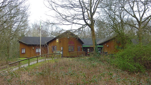
Visitors to Woolston Moss can enjoy the tranquility of the vast open spaces and immerse themselves in the stunning natural beauty. The area is crisscrossed with a network of walking trails, offering the opportunity to explore and discover its hidden gems. The diverse range of habitats provides an ideal environment for nature enthusiasts, birdwatchers, and photographers.

Woolston Moss also serves as an important carbon sink, absorbing carbon dioxide from the atmosphere and helping to mitigate climate change. Efforts have been made to protect and conserve this unique ecosystem, including managing water levels, controlling invasive species, and promoting sustainable land use practices.

Overall, Woolston Moss in Lancashire is a remarkable natural area that showcases the beauty and importance of preserving and appreciating our natural heritage.

If you have any feedback on the listing, please let us know in the comments section below.

Woolston Moss Images

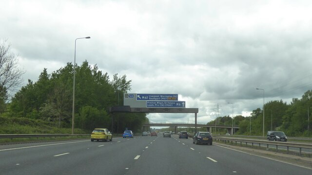
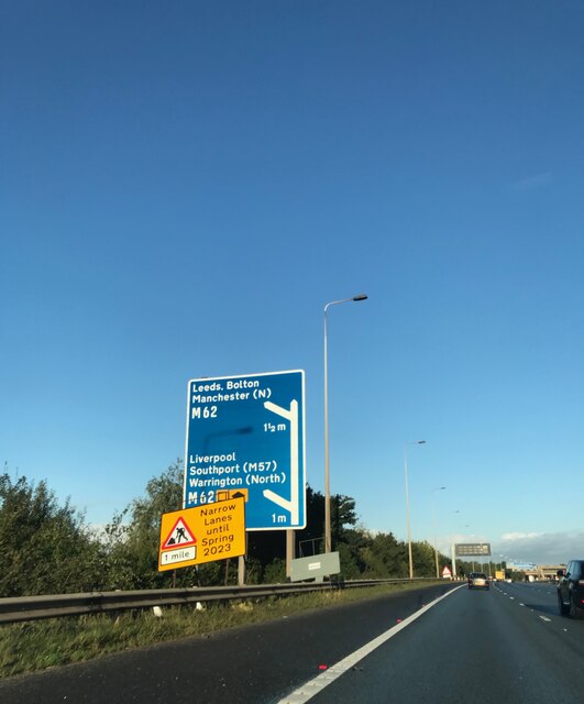
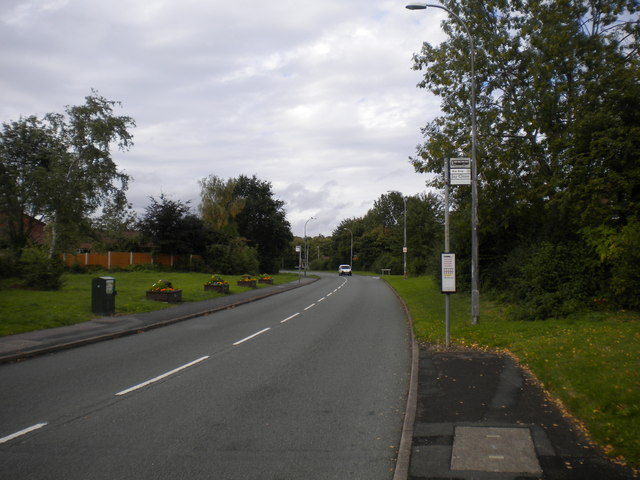
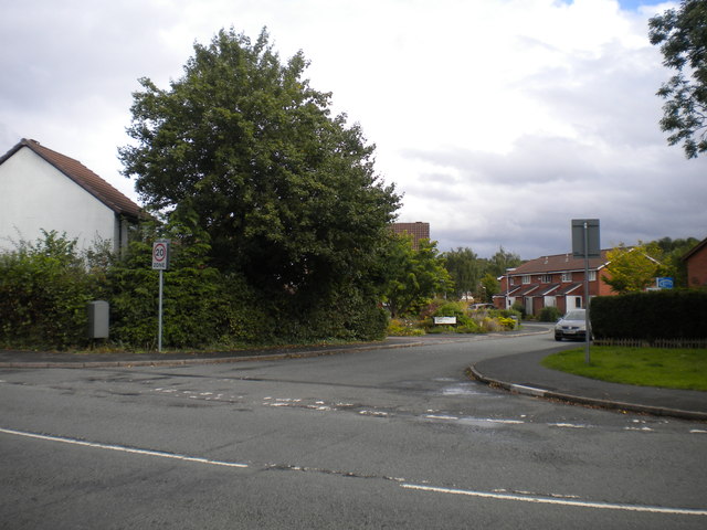
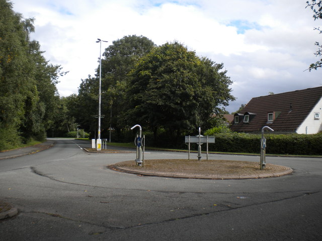
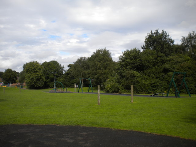
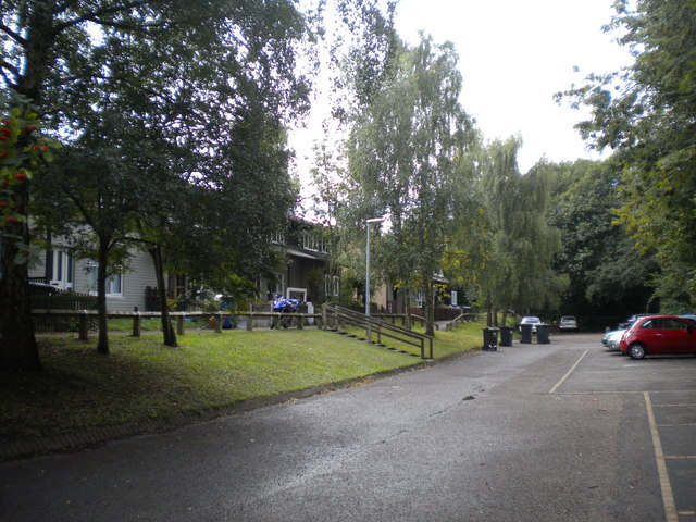
Images are sourced within 2km of 53.410044/-2.5197841 or Grid Reference SJ6590. Thanks to Geograph Open Source API. All images are credited.

Approaching junction 21A on M6 northbound
Junction 21a signage - northbound M6
Admirals Road, Oakwood The main distributor road through Oakwood, seen close to its eastern extremity.
Admirals Road, Oakwood
The main distributor road through Oakwood, seen close to its eastern extremity.
Footpath off Admirals Road, Oakwood
West end of McCarthy Close, Oakwood One of several residential cul de sacs off Admirals Road.
West end of McCarthy Close, Oakwood
One of several residential cul de sacs off Admirals Road.
Roundabout, Admirals Road, Oakwood At the junction with Halliday Close.
Roundabout, Admirals Road, Oakwood
At the junction with Halliday Close.
Playground, Birchwood Brook Park, Oakwood Underappreciated on this intermittently wet day, despite having a zipwire.
Playground, Birchwood Brook Park, Oakwood
Underappreciated on this intermittently wet day, despite having a zipwire.
Secluded housing, Lyster Close, Oakwood Hidden away at the end of Lyster Close, away from the rest of the estate, with woodland on three sides and a stream on the fourth.
Secluded housing, Lyster Close, Oakwood
Hidden away at the end of Lyster Close, away from the rest of the estate, with woodland on three sides and a stream on the fourth.
Footpath to Birchwood Brook Park, Birchwood Off Dewhurst Road, just east of Birchwood railway station.
Footpath to Birchwood Brook Park, Birchwood
Off Dewhurst Road, just east of Birchwood railway station.
Spencer House, Birchwood An office block off Dewhurst Road (foreground), opposite the railway station (behind the photographer).
Spencer House, Birchwood
An office block off Dewhurst Road (foreground), opposite the railway station (behind the photographer).
New footbridge under construction, Birchwood station When completed, this new footbridge will provide step free access (presumably using lifts) between the platforms. The main station building is visible to the left.
New footbridge under construction, Birchwood station
When completed, this new footbridge will provide step free access (presumably using lifts) between the platforms. The main station building is visible to the left.
Car park and bus turning area, Birchwood station For the moment, buses cannot serve the bus stop outside the station due to the construction of the new footbridge (right); they are using temporary stops on Dewhurst Road a short distance away.
Car park and bus turning area, Birchwood station
For the moment, buses cannot serve the bus stop outside the station due to the construction of the new footbridge (right); they are using temporary stops on Dewhurst Road a short distance away.
Dewhurst Road south of Birchwood Centre Looking towards the shopping centre from a little way west of the railway station.
Dewhurst Road south of Birchwood Centre
Looking towards the shopping centre from a little way west of the railway station.
Bus stops, Birchwood Centre Tucked away down the side of ASDA, as one expects of developments of this era. Buses in both directions pull off Dewhurst Road (foreground) to stop here, which does at least mean bus passengers do not have to cross the road to reach the shopping centre.
Bus stops, Birchwood Centre
Tucked away down the side of ASDA, as one expects of developments of this era. Buses in both directions pull off Dewhurst Road (foreground) to stop here, which does at least mean bus passengers do not have to cross the road to reach the shopping centre.
Footpath to Birchwood Boulevard, Birchwood Centre The footpath begins across Dewhurst Road from the shopping centre.
Footpath to Birchwood Boulevard, Birchwood Centre
The footpath begins across Dewhurst Road from the shopping centre.
Duckling on Birchwood Park Lake
Risley Moss Visitor Centre
Show me another place!

Woolston Moss is located at Grid Ref: SJ6590 (Lat: 53.410044, Lng: -2.5197841)

Unitary Authority: Warrington

Police Authority: Cheshire

What 3 Words

///exhaling.animator.lived. Near Croft, Cheshire

Nearby Locations

Woolston Moss

Related Wikis

Birchwood railway station

Birchwood railway station is a railway station serving the town of Birchwood, Cheshire, England. The station is 24+1⁄4 miles (39.0 km) east of Liverpool...

Birchwood Community High School

Birchwood Community High School is a coeducational secondary school and sixth form with academy status, located in the Birchwood area of Warrington in...

Birchwood, Cheshire

Birchwood is a town and civil parish in the Borough of Warrington, Cheshire, England. The parish had a population of 10,614 at the 2021 census. Located...

Homes England

Homes England is the non-departmental public body that funds new affordable housing in England. It was founded on 1 January 2018 to replace the Homes and...

Nearby Amenities

Located within 500m of 53.410044,-2.5197841
Bus Stop
Birchwood Station
Bus: yes
Naptan AtcoCode: 069000012301
Naptan NaptanCode: wrgjdmd
Public Transport: platform
Shelter: no
Tactile Paving: yes
Lat/Long: 53.4127867/-2.525744
Crossing
Crossing: unmarked
Crossing Island: no
Crossing Markings: no
Tactile Paving: yes
Lat/Long: 53.4131894/-2.5251676
Birchwood
Public Transport: stop_position
Railway: stop
Train: yes
Lat/Long: 53.4129442/-2.5245075
Bicycle Parking
Birchwwod Station Platform
Bicycle Parking: stands
Capacity: 12
Cyclestreets Id: 85379
Url: https://cyclestreets.net/location/85379/
Lat/Long: 53.412823/-2.5251385
Bicycle Parking
Birchwood Station Platform
Bicycle Parking: stands
Capacity: 10
Covered: no
Cyclestreets Id: 85380
Url: https://cyclestreets.net/location/85380/
Lat/Long: 53.4127228/-2.5250801
Birchwood
Naptan AtcoCode: 9100BIRCHWD
Network: National Rail
Network Website: https://www.nationalrail.co.uk/stations/bwd/
Network Wikidata: Q26334
Operator: Northern Rail
Operator Website: https://www.northernrailway.co.uk/stations/birchwood
Operator Wikidata: Q85789775
Public Transport: station
Railway: station
Ref Crs: BWD
Wikidata: Q1846262
Wikipedia: en:Birchwood railway station
Lat/Long: 53.4127822/-2.5251395
Access: private
Entrance: yes
Wheelchair: yes
Lat/Long: 53.4127053/-2.5251186
Access: private
Entrance: yes
Wheelchair: yes
Lat/Long: 53.4128429/-2.5251862
Barrier: kerb
Lat/Long: 53.4129182/-2.5252355
Elevator
Lat/Long: 53.412727/-2.5256682
Entrance: yes
Lat/Long: 53.412788/-2.5255885
Entrance: main
Lat/Long: 53.4128504/-2.5254667
Elevator
Access: yes
Lat/Long: 53.4125971/-2.5255776
Crossing
Crossing: unmarked
Crossing Island: no
Tactile Paving: yes
Traffic Calming: table
Lat/Long: 53.4128865/-2.5254905
Entrance: yes
Lat/Long: 53.4128721/-2.5253426
Barrier: bollard
Bollard: fixed
Material: wood
Lat/Long: 53.4139911/-2.5228529
Board Type: map
Direction: 340
Information: board
Tourism: information
Lat/Long: 53.4139651/-2.5227353
Information: guidepost
Tourism: information
Lat/Long: 53.4140134/-2.5227746
Noexit: yes
Lat/Long: 53.4136711/-2.5237764
The data included in this document is from www.openstreetmap.org. The data is made available under ODbL.

Have you been to Woolston Moss?

Leave your review of Woolston Moss below (or comments, questions and feedback).