Braes of Howar
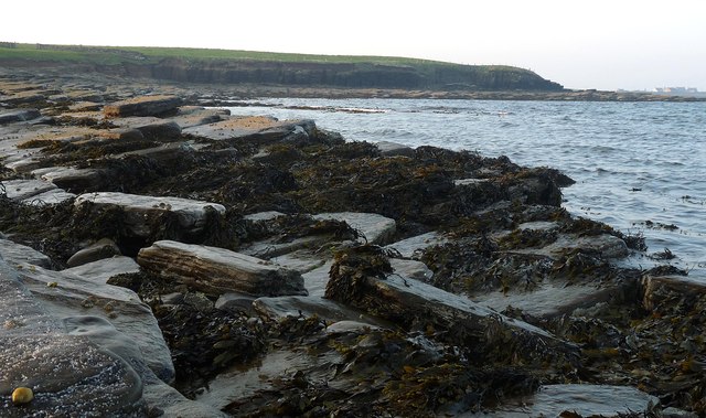
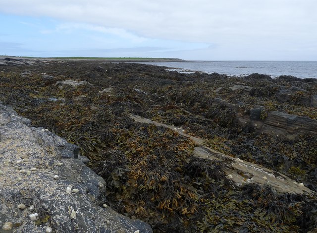
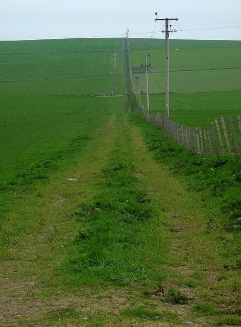
Downs, Moorland in Orkney
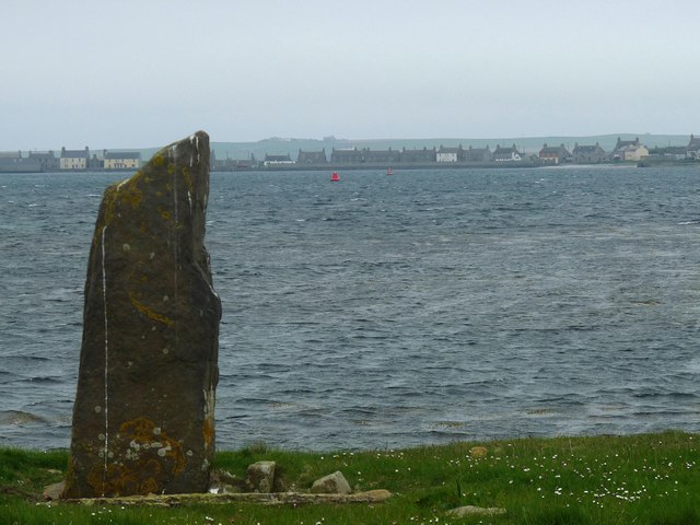
Scotland
Braes of Howar
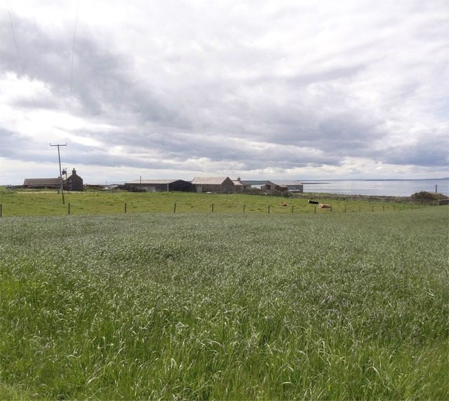
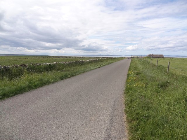
The Braes of Howar is an ancient settlement located on the island of Papa Westray in the Orkney archipelago, Scotland. Situated on the northwest coast of the island, the Braes of Howar is considered to be one of the oldest standing stone structures in northern Europe, dating back to the Neolithic period around 3,500 BCE.
The settlement comprises two stone houses, which are unique in their construction. The houses are made of stone slabs, stacked together to form walls and roofed with layers of turf and soil. This construction method, known as a "double-walled structure," was prevalent during the Neolithic era and is rarely found intact today.
The houses at the Braes of Howar are rectangular in shape, with each measuring approximately 7 meters long and 4 meters wide. They consist of two rooms, one used for living and the other for storage. The walls are impressively thick, indicating the settlement's ability to withstand the harsh weather conditions of the time.
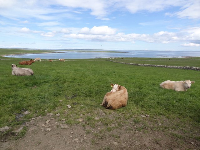
The site also features a stone enclosure, believed to have been used as a protective barrier for livestock. It is likely that the settlement was occupied by a small farming community, relying on agriculture and fishing for sustenance.
Today, the Braes of Howar is a popular tourist attraction, providing visitors with a glimpse into the daily lives of Neolithic people. The site is well-preserved, allowing visitors to explore the ancient houses and gain insight into the architecture and lifestyle of the period.
If you have any feedback on the listing, please let us know in the comments section below.
Braes of Howar Images
Images are sourced within 2km of 59.142249/-2.6077776 or Grid Reference HY6528. Thanks to Geograph Open Source API. All images are credited.


Braes of Howar is located at Grid Ref: HY6528 (Lat: 59.142249, Lng: -2.6077776)
Unitary Authority: Orkney Islands
Police Authority: Highlands and Islands
What 3 Words
///waking.traps.devoured. Near Whitehall, Orkney Islands
Nearby Locations
Related Wikis

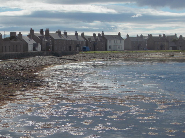
Whitehall, Orkney
Whitehall is the village on the island of Stronsay, in the Orkney Islands of Scotland. It is a small village with about 50 houses. It also has a shop...

Sons of the Most Holy Redeemer
The Congregation of the Sons of the Most Holy Redeemer (Latin: Filii Sanctissimi Redemptoris; FSSR), commonly known as the Transalpine Redemptorists or...

Papa Stronsay
Papa Stronsay (Scots: Papa Stronsee; Old Norse: Papey Minni) is a small island in Orkney, Scotland, lying north east of Stronsay. It is 74 hectares (183...
Stronsay Airport
Stronsay Airport (IATA: SOY, ICAO: EGER) is located 15 nautical miles (28 km; 17 mi) northeast by north of Kirkwall Airport on Stronsay, Orkney Islands...
Stronsay
Stronsay () is an island in Orkney, Scotland. It is known as Orkney's 'Island of Bays', owing to an irregular shape with miles of coastline, with three...

Linga Sound, Orkney
Linga Sound is the strait between the islands of Linga Holm and Stronsay in the Orkney islands of Scotland. It leads into St. Catherines Bay from the north...

Holm of Huip
The Holm of Huip is a small island in the Orkney Islands, in Spurness Sound to the north west of Stronsay. The Holm has a cairn on it, and a number of...

Linga Holm
Linga Holm, commonly known as Linga, Midgarth and the Holm of Midgarth is an uninhabited Scottish island extending to approximately 57 hectares (0.22...
Nearby Amenities
Located within 500m of 59.142249,-2.6077776Have you been to Braes of Howar?
Leave your review of Braes of Howar below (or comments, questions and feedback).