Hampton Hill
Settlement in Middlesex
England
Hampton Hill
Hampton Hill is a suburban area located in the borough of Richmond upon Thames in Middlesex, England. Situated approximately 12 miles southwest of central London, it is nestled between the larger towns of Twickenham and Teddington. Hampton Hill is known for its leafy streets, picturesque green spaces, and close proximity to the River Thames.
The area is primarily residential, consisting of a mix of detached and semi-detached houses, as well as some apartment buildings. The housing stock is diverse, ranging from Victorian and Edwardian properties to more modern developments. Many of the houses are well-maintained and feature attractive gardens, adding to the overall charm of the area.
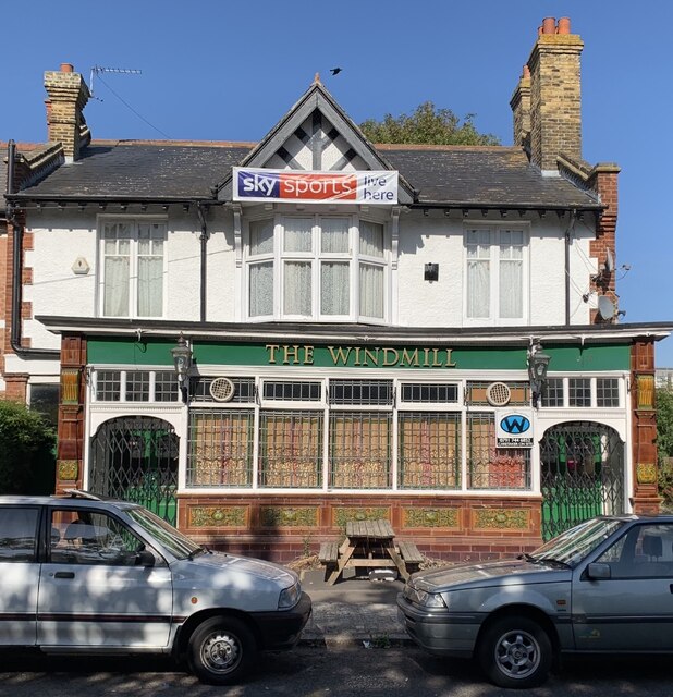
Hampton Hill High Street serves as the main commercial hub of the area, offering a selection of shops, boutiques, cafes, and restaurants. It has a friendly and vibrant atmosphere, with locals often seen enjoying a leisurely stroll or stopping by the local pubs for a drink.
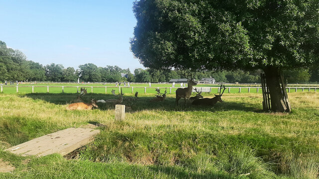
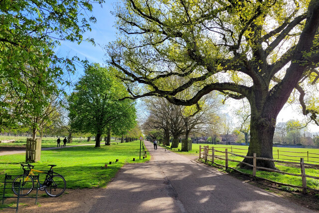
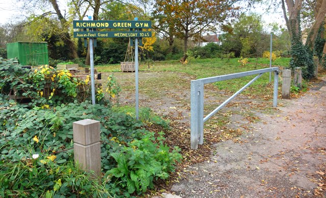
Nature lovers are drawn to Hampton Hill due to its close proximity to Bushy Park, one of London's Royal Parks. This expansive green space offers ample opportunities for outdoor activities such as walking, cycling, and picnicking. The park is also home to herds of deer, providing a unique wildlife experience for visitors.
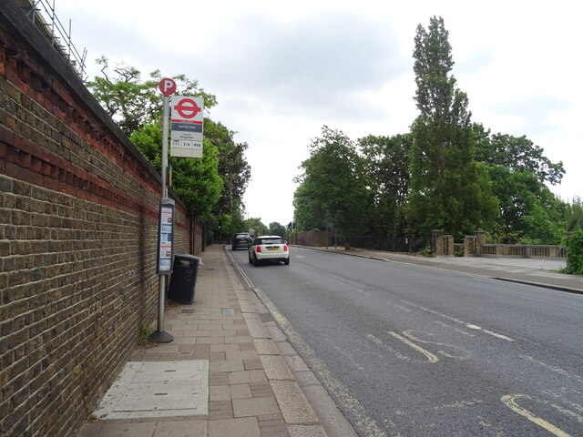
Hampton Hill benefits from excellent transport links, with regular bus services connecting it to surrounding areas and a train station nearby. This makes it an ideal location for commuters working in central London or nearby towns.
Overall, Hampton Hill is a desirable suburban area that offers a peaceful and picturesque setting while still providing easy access to the amenities and attractions of London.
If you have any feedback on the listing, please let us know in the comments section below.
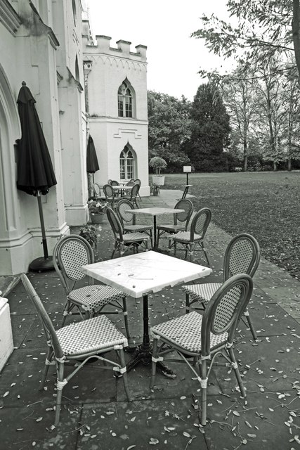
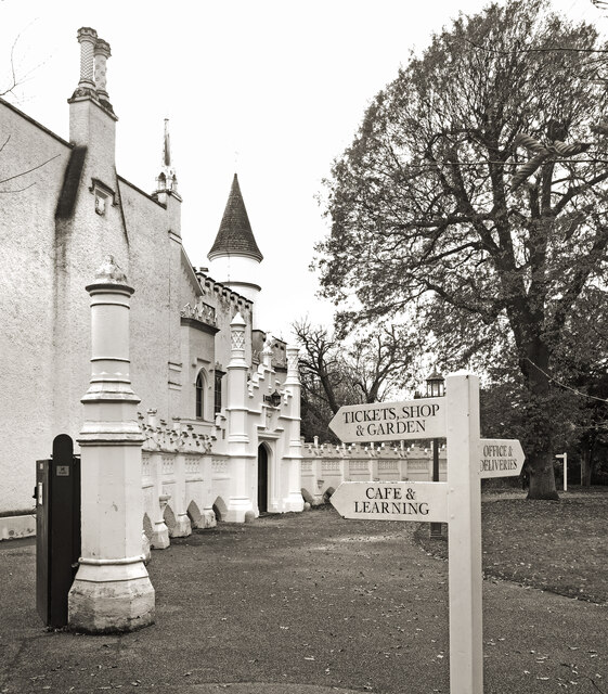
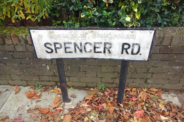
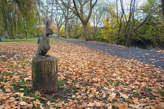
Hampton Hill Images
Images are sourced within 2km of 51.429612/-0.359389 or Grid Reference TQ1471. Thanks to Geograph Open Source API. All images are credited.


Hampton Hill is located at Grid Ref: TQ1471 (Lat: 51.429612, Lng: -0.359389)
Unitary Authority: Richmond upon Thames
Police Authority: Metropolitan
What 3 Words
///rises.metro.dozen. Near Hampton, London
Nearby Locations
Related Wikis

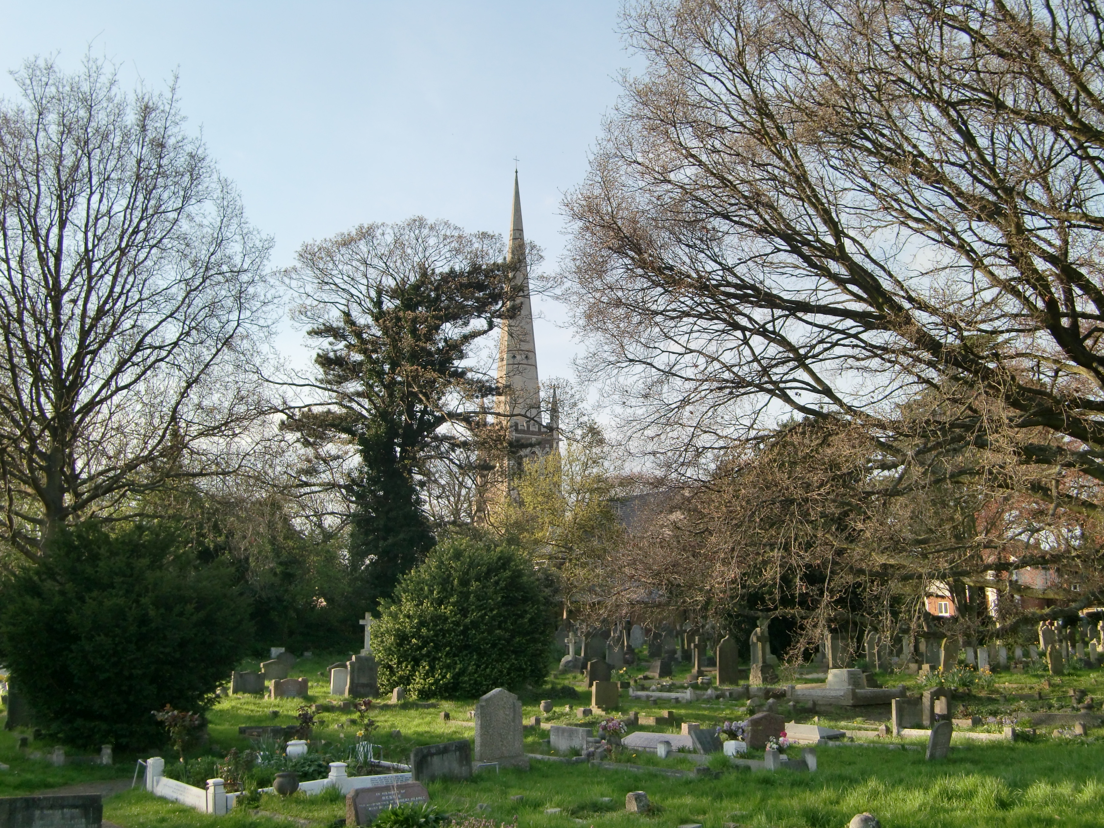
St James's Church, Hampton Hill
St James's Church is a Grade II listed parish church in the Church of England in Hampton Hill, London. == History == The first church building was opened...
Hampton Hill
Hampton Hill (initially known as "New Hampton") is a district in the London Borough of Richmond upon Thames to the south of Twickenham. It is bounded by...

St Francis de Sales, Hampton Hill and Upper Teddington
The Church of St Francis de Sales is a Roman Catholic church in Hampton Hill, in the London Borough of Richmond upon Thames. It is the parish church for...

Fulwell Golf Course
Fulwell Golf Course, operated by Fulwell Golf Club, is a 241 acres (98 ha) golf course and centre comprising an 18-hole course located in Fulwell in the...

Hampton Hill United Reformed Church
Hampton Hill United Reformed Church, in the London Borough of Richmond upon Thames, is a United Reformed Church congregation. Located on 35 High Street...
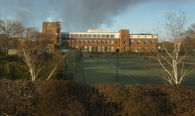
Lady Eleanor Holles School
Lady Eleanor Holles School (often abbreviated to LEH or LEHS) is a private day school for girls in Hampton, London. It consists of a small junior school...
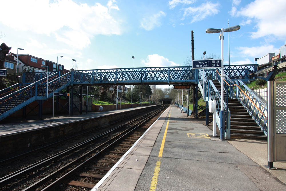
Fulwell railway station
Fulwell railway station on the Shepperton Branch Line serves Fulwell in the London Borough of Richmond upon Thames. It is in Travelcard Zone 6. It is 12...
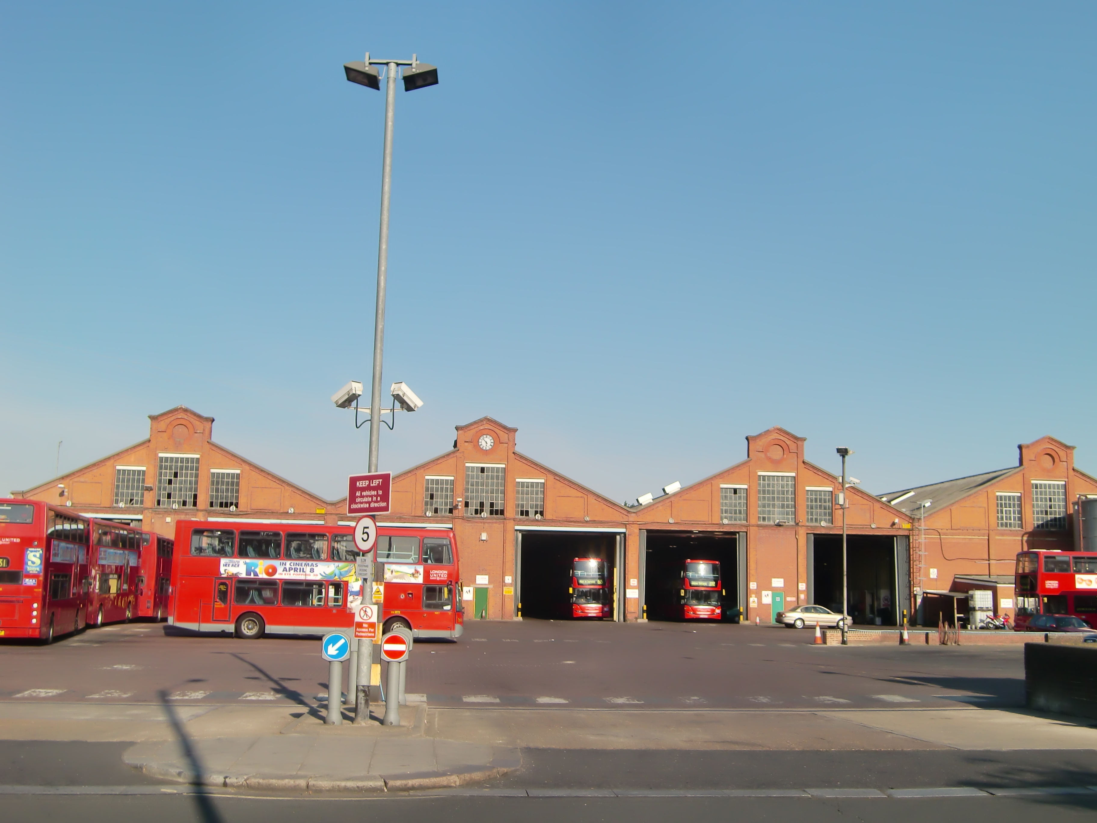
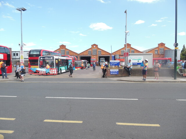
Fulwell bus garage
Fulwell Bus Garage is a Transport for London bus garage located in Twickenham in west London. It is north of Fulwell railway station and operates as two...
Nearby Amenities
Located within 500m of 51.429612,-0.359389Have you been to Hampton Hill?
Leave your review of Hampton Hill below (or comments, questions and feedback).