Barbon Low Fell
Downs, Moorland in Westmorland South Lakeland
England
Barbon Low Fell

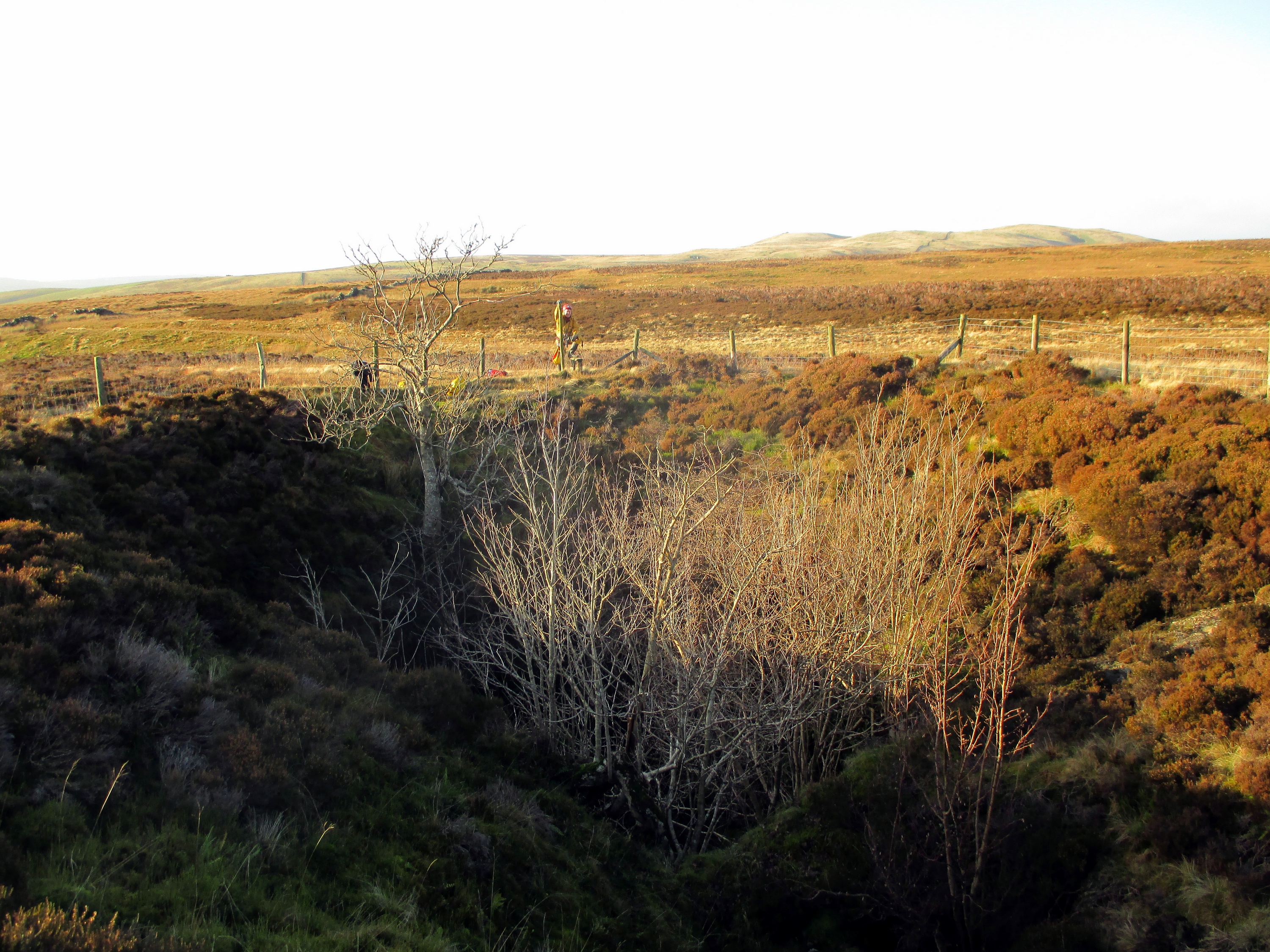
Barbon Low Fell, located in Westmorland, is a picturesque area known for its stunning landscapes and natural beauty. Situated amidst the Downs and Moorland, it offers a unique blend of rolling hills, lush green valleys, and rugged terrain.
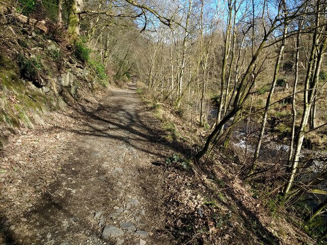
The downs of Barbon Low Fell provide a scenic backdrop with gently sloping hills covered in rich grasslands. These open spaces are perfect for walking, hiking, and enjoying the breathtaking views of the surrounding countryside. The moorland, on the other hand, offers a contrasting landscape with its wild and untamed beauty. Characterized by rocky outcrops, heather-covered slopes, and peat bogs, it is a haven for nature enthusiasts and bird watchers.
The area is home to a diverse range of flora and fauna, including rare species such as the curlew and golden plover. Additionally, the rich biodiversity of Barbon Low Fell supports a variety of plant life, including heather, bilberry, and cotton grass.
This region is not only loved for its natural beauty but also for its historical significance. The remains of ancient settlements and stone circles can be found scattered across the moorland, providing glimpses into the area's past.
Barbon Low Fell offers a tranquil escape from the hustle and bustle of city life. Visitors can explore the vast expanse of open land, immerse themselves in nature, and enjoy the peaceful serenity that this area has to offer. Whether it's a leisurely stroll, a challenging hike, or simply taking in the breathtaking views, Barbon Low Fell is a destination that promises an unforgettable experience.
If you have any feedback on the listing, please let us know in the comments section below.
Barbon Low Fell Images
Images are sourced within 2km of 54.229558/-2.53968 or Grid Reference SD6481. Thanks to Geograph Open Source API. All images are credited.


Barbon Low Fell is located at Grid Ref: SD6481 (Lat: 54.229558, Lng: -2.53968)
Administrative County: Cumbria
District: South Lakeland
Police Authority: Cumbria
What 3 Words
///writers.expires.heckler. Near Kirkby Lonsdale, Cumbria
Nearby Locations
Related Wikis
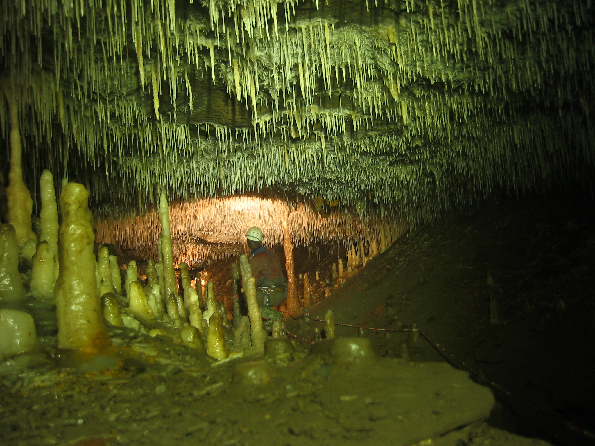
Ease Gill Caverns
The Ease Gill Cave System is the longest, and most complex cave system in Britain as of 2011, with around 41 miles (66 km) of passages, including connections...

St Bartholomew's Church, Barbon
St Bartholomew's Church is in the village of Barbon, Cumbria, England. It is an active Anglican parish church in the deanery of Kendal, the archdeaconry...

Barbon railway station
Barbon railway station was located in Westmorland (now part of Cumbria), England, serving the town and locale of Barbon on the Ingleton Branch Line....

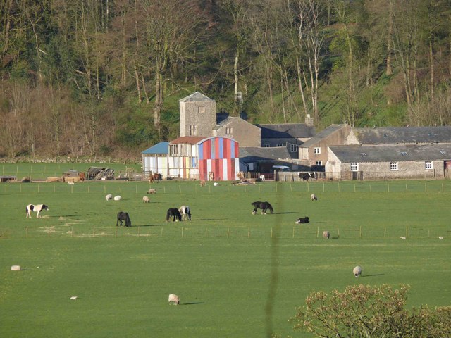
Barbon
Barbon is a village and civil parish in Westmorland and Furness, England. According to the 2001 census it had a population of 263, reducing to 236 at...
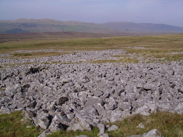
Leck Fell
Leck Fell is a Site of Special Scientific Interest in Lancashire, England. An area of typically heavily grazed open moorland of rough grass and remnant...

Casterton School
Casterton School was an independent boarding and day school for girls aged 3 to 18 years in the village of Casterton in rural Cumbria. In its final years...
Casterton, Cumbria
Casterton is a small village and civil parish close to Kirkby Lonsdale on the River Lune in the south east corner of Cumbria, England. In the 2001 census...
Death's Head Hole
Death's Head Hole is a cave on Leck Fell, in Lancashire, England. Its entrance is a 64-metre (210 ft) deep shaft. It leads into Lost Johns' Cave and is...
Nearby Amenities
Located within 500m of 54.229558,-2.53968Have you been to Barbon Low Fell?
Leave your review of Barbon Low Fell below (or comments, questions and feedback).