Brigflatts Moss
Downs, Moorland in Westmorland South Lakeland
England
Brigflatts Moss
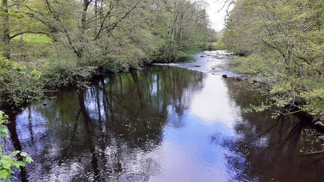
Brigflatts Moss, situated in the county of Westmorland in northwestern England, is a picturesque expanse of downs and moorland. Covering an area of approximately 200 acres, the moss is known for its diverse ecosystem and natural beauty.
The moss is characterized by its rolling hills, heathland, and scattered patches of marshy ground. Its landscape is predominantly covered in grasses, heathers, and low-lying shrubs, providing a haven for a variety of flora and fauna. The area is home to several rare and protected species, including the bog rosemary and the large heath butterfly.
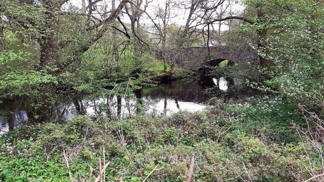
The moss is crisscrossed by a network of footpaths, allowing visitors to explore the area and take in the breathtaking views. These paths also provide access to nearby landmarks, such as the historic Brigflatts Meeting House, a Quaker place of worship dating back to the 17th century.
Birdwatchers are particularly drawn to Brigflatts Moss, as it serves as a vital habitat for many species of birds, including red grouse, curlews, and skylarks. The moss provides nesting sites, feeding grounds, and shelter for these avian residents.
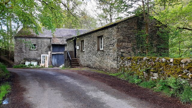
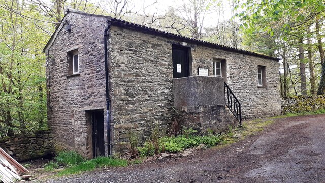
In addition to its natural beauty, Brigflatts Moss holds historical significance. The area has been inhabited for centuries, and archaeological evidence suggests that it was used for farming and grazing since prehistoric times. The moss also played a role in the local industrial revolution, with peat cutting being a prevalent activity in the 19th century.
Overall, Brigflatts Moss stands as a testament to the rich biodiversity and cultural heritage of the Westmorland region, offering visitors a tranquil and captivating experience in the heart of nature.
If you have any feedback on the listing, please let us know in the comments section below.
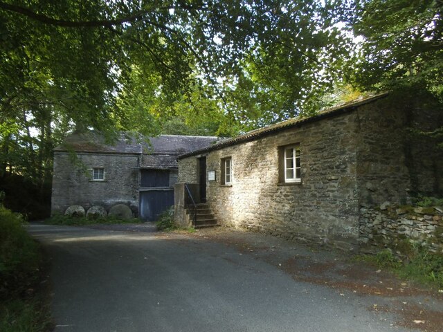
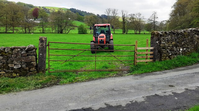
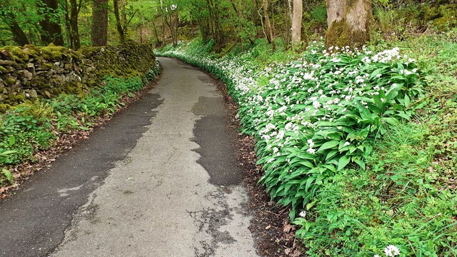
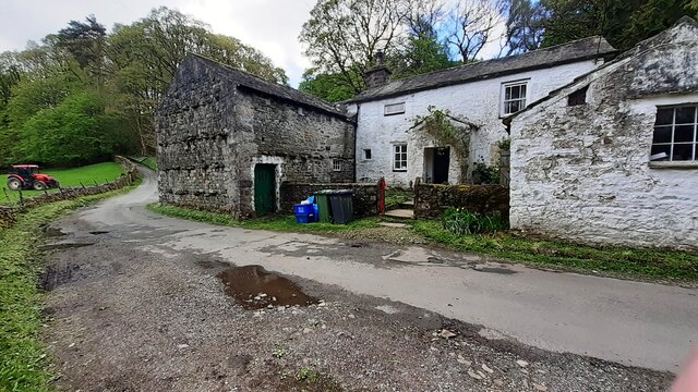
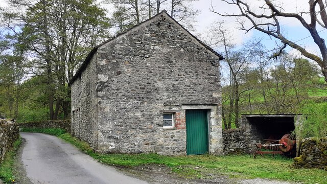
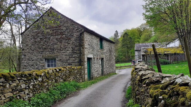
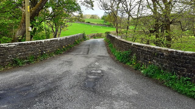
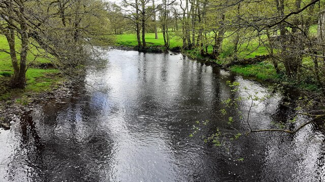
Brigflatts Moss Images
Images are sourced within 2km of 54.302231/-2.5453789 or Grid Reference SD6489. Thanks to Geograph Open Source API. All images are credited.


Brigflatts Moss is located at Grid Ref: SD6489 (Lat: 54.302231, Lng: -2.5453789)
Administrative County: Cumbria
District: South Lakeland
Police Authority: Cumbria
What 3 Words
///mountains.chemistry.tissue. Near Sedbergh, Cumbria
Nearby Locations
Related Wikis

River Dee, Cumbria
The River Dee is a river running through the extreme south east of Cumbria, a part of the Craven region traditionally part of the West Riding of Yorkshire...

Brigflatts Meeting House
Brigflatts Meeting House or Briggflatts Meeting House is a Friends Meeting House of the Religious Society of Friends (Quakers), near Sedbergh, Cumbria...

River Rawthey
The River Rawthey is a river in Cumbria in northwest England. The headwaters of the Rawthey are at Rawthey Gill Foot, where Rawthey Gill meets Haskhaw...

Millthrop
Millthrop is a hamlet in the South Lakeland district of Cumbria, Northern England and the Yorkshire Dales. Millthrop lies on the south bank of the River...

Sedbergh railway station
Sedbergh railway station was located in the West Riding of Yorkshire, serving the town and locale of Sedbergh on the Ingleton Branch Line. The town now...

Ingmire Hall
Ingmire Hall is a grade II listed 16th century country house built around the remains of a pele tower some 2 miles west of Sedbergh, Cumbria, England.The...

Sedbergh School Chapel
Sedbergh School Chapel is located to the southeast of Sedbergh School, Sedbergh, Cumbria, England. It is considered to be of architectural importance...
Sedbergh School
Sedbergh School is a public school (English private boarding and day school) in the town of Sedbergh in Cumbria, North West England. It comprises a junior...
Related Videos

Holme Farm Campsite Review
With this video I visit and spend two nights at a very nice campsite in the Lune Valley, Cumbria, near the picturesque town of ...
Nearby Amenities
Located within 500m of 54.302231,-2.5453789Have you been to Brigflatts Moss?
Leave your review of Brigflatts Moss below (or comments, questions and feedback).