Brennand Fell
Downs, Moorland in Yorkshire Ribble Valley
England
Brennand Fell
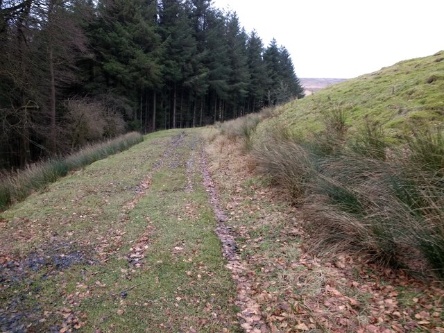
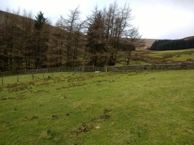
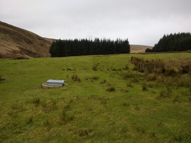
Brennand Fell is a picturesque area located in Yorkshire, England. Situated amidst the stunning landscape of the Yorkshire Downs and Moorland, it offers visitors a unique blend of natural beauty and tranquility. The fell is characterized by rolling hills, lush green meadows, and heather-covered moors, creating a breathtaking panorama that captivates all who visit.
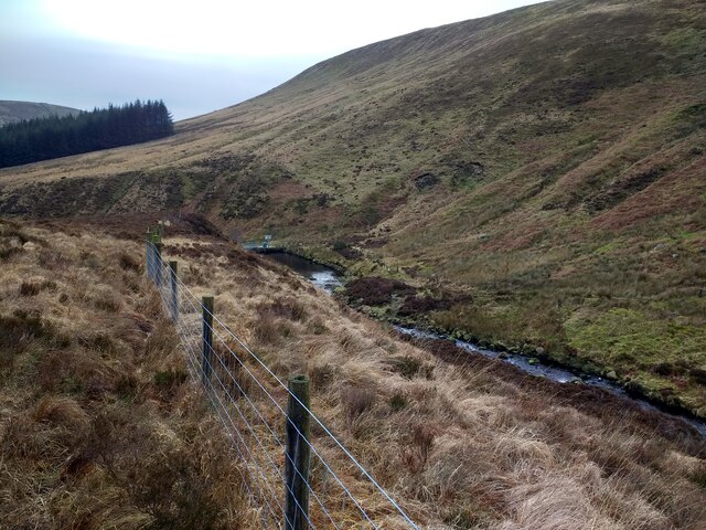
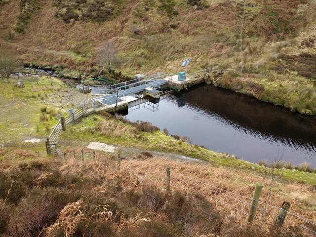
This area is renowned for its diverse wildlife, with numerous species of birds, mammals, and wildflowers calling it home. The native curlews, lapwings, and red grouse are a common sight, adding to the charm of the surroundings. Additionally, the moorland is dotted with beautiful waterfalls, adding a touch of serenity to the already stunning scenery.
Hikers and nature enthusiasts are drawn to Brennand Fell for its extensive network of walking trails. These trails cater to all levels of ability, from casual strolls to more challenging hikes, allowing visitors to explore the area at their own pace. Along the way, walkers will encounter ancient stone walls and remnants of old mining and farming activities, providing a glimpse into the area's rich history.
For those seeking a peaceful retreat, there are several cozy cottages and bed and breakfasts nestled within the vicinity of Brennand Fell. This allows visitors to fully immerse themselves in the natural surroundings while enjoying the warmth and comfort of traditional Yorkshire hospitality.
Overall, Brennand Fell is a hidden gem in Yorkshire, offering visitors the opportunity to escape the hustle and bustle of everyday life and reconnect with nature. Its idyllic landscape and abundant wildlife make it a must-visit destination for anyone seeking a truly authentic English countryside experience.
If you have any feedback on the listing, please let us know in the comments section below.
Brennand Fell Images
Images are sourced within 2km of 53.992382/-2.550014 or Grid Reference SD6455. Thanks to Geograph Open Source API. All images are credited.


Brennand Fell is located at Grid Ref: SD6455 (Lat: 53.992382, Lng: -2.550014)
Division: West Riding
Administrative County: Lancashire
District: Ribble Valley
Police Authority: Lancashire
What 3 Words
///onwards.crisp.shampoos. Near High Bentham, North Yorkshire
Nearby Locations
Related Wikis

Brennand Farm
Brennand Farm is often claimed to be the true centre of Great Britain. This is about seven kilometres north-west of Dunsop Bridge - which has the nearest...

Grey Stone of Trough
The Grey Stone of Trough is an historic boundary marker in Bowland Forest High, in the Trough of Bowland, Lancashire, England. A Grade II listed structure...

Wolfhole Crag
Wolfhole Crag is an isolated and seldom-visited hill in the Forest of Bowland in Lancashire, England. Its seclusion is due in part to its low profile and...

Trough of Bowland
The Trough of Bowland is a valley and high pass in the Forest of Bowland Area of Outstanding Natural Beauty, Lancashire, England. The pass, reaching 968...
Nearby Amenities
Located within 500m of 53.992382,-2.550014Have you been to Brennand Fell?
Leave your review of Brennand Fell below (or comments, questions and feedback).