Fleet Common
Downs, Moorland in Dorset
England
Fleet Common

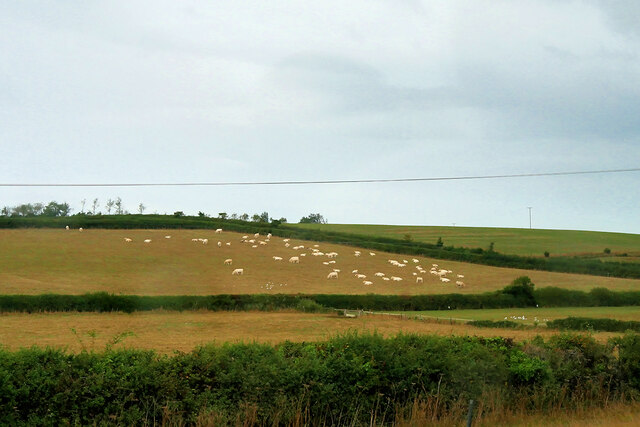
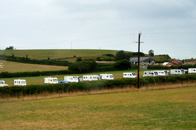
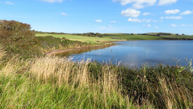
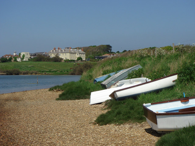
Fleet Common is a picturesque area located in Dorset, England. Covering a vast expanse of land, it offers a captivating combination of downs and moorland landscapes. The common is a designated Site of Special Scientific Interest, owing to its unique and diverse ecological features.
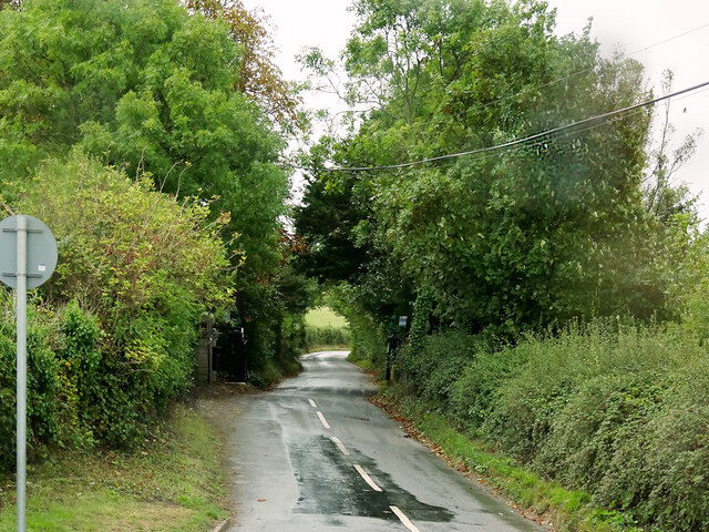
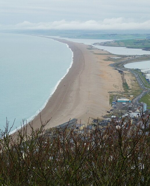
Situated near the village of Fleet, the common is characterized by its rolling hills, ancient woodlands, and expansive heathlands. The downs, with their gently sloping hills, offer stunning panoramic views of the surrounding countryside. These downs are covered in a patchwork of vibrant wildflowers during the warmer months, attracting a multitude of butterflies and bees.
The moorland areas of Fleet Common are equally enchanting, with their open expanses of heather and gorse. This habitat provides a home for a variety of bird species, including the rare Dartford warbler and stonechat. Additionally, the moorland is host to a rich array of reptiles such as adders and slow worms, as well as small mammals like rabbits and voles.
Fleet Common is a haven for nature enthusiasts, offering numerous walking trails and bridleways that allow visitors to explore its diverse landscapes. The common is also home to several archaeological sites, including ancient burial mounds and remnants of Iron Age settlements, adding historical significance to its natural beauty.
Overall, Fleet Common in Dorset is a captivating blend of downs and moorland, providing a haven for wildlife, stunning scenery, and opportunities for outdoor exploration and historical discovery.
If you have any feedback on the listing, please let us know in the comments section below.
Fleet Common Images
Images are sourced within 2km of 50.62157/-2.5173155 or Grid Reference SY6380. Thanks to Geograph Open Source API. All images are credited.


Fleet Common is located at Grid Ref: SY6380 (Lat: 50.62157, Lng: -2.5173155)
Unitary Authority: Dorset
Police Authority: Dorset
What 3 Words
///grower.tender.gymnasium. Near Chickerell, Dorset
Nearby Locations
Related Wikis
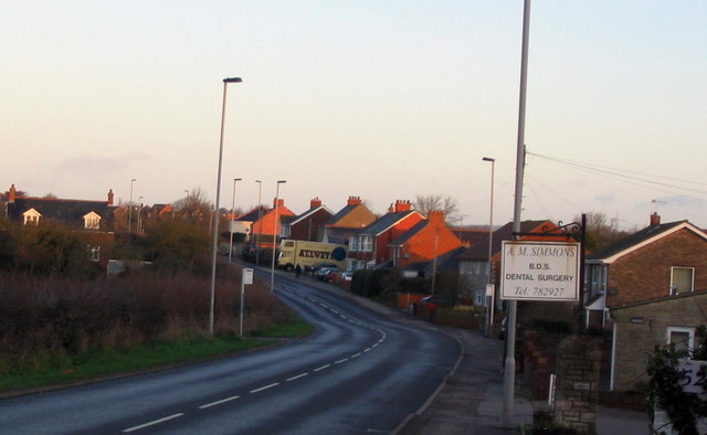
Fleet, Dorset
Fleet is a small, scattered village and civil parish in south Dorset, England, situated approximately 2.5 miles (4.0 km) west of Weymouth. It consists...

Holy Trinity Church, Fleet
Holy Trinity Church is a Church of England church in Fleet, Dorset, England. It was built in 1827–29, replacing an earlier parish church which was partially...
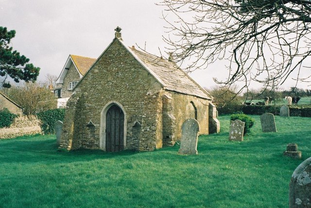
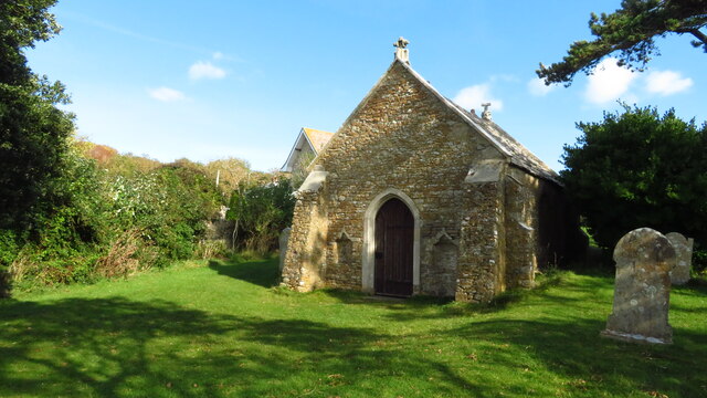
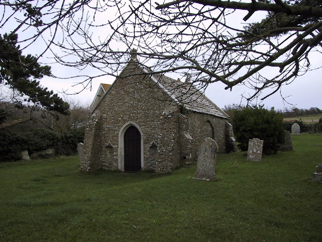
Fleet Old Church
Fleet Old Church is a Church of England mortuary chapel in Fleet, Dorset, England. It was formerly the village's parish church until its partial destruction...

Sutton Poyntz (liberty)
Sutton Poyntz Liberty was a liberty in the county of Dorset, England, containing the following parishes: Chickerell (part) Preston StockwoodSutton Poyntz...

Chickerell
Chickerell is a town and parish in Dorset, England. In the 2011 census the parish and the electoral ward had a population of 5,515. == History == Although...
Crookhill Brick Pit
Crookhill Brick Pit (grid reference SY644798) is a 4.77 hectare biological and geological Site of Special Scientific Interest in Dorset, England, notified...

Bennetts Water Gardens
Bennetts Water Gardens is an 8-acre (32,000 m2) garden in Chickerell, near Weymouth, Dorset, in southern England. It holds national and international collections...
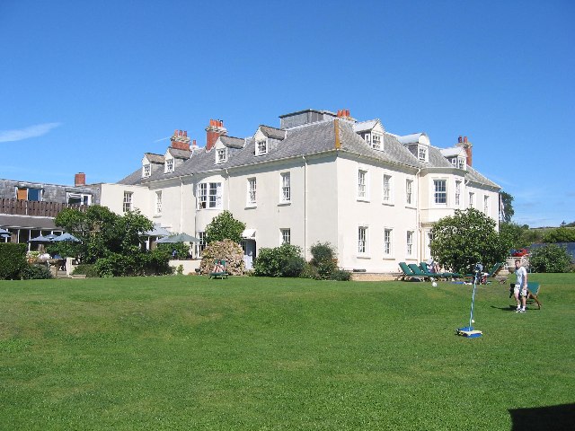
Moonfleet Manor Hotel
Moonfleet Manor Hotel is a hotel and former manor house in Fleet, Dorset, England. With 17th century origins, much of the house dates to the 18th and 19th...
Nearby Amenities
Located within 500m of 50.62157,-2.5173155Have you been to Fleet Common?
Leave your review of Fleet Common below (or comments, questions and feedback).