Greencothill Plantation

Downs, Moorland in Banffshire

Scotland

Greencothill Plantation

Former railway line to Banff One of the locations where the course of this branch is still evident, the shallow cutting having not been put to the plough.
Former railway line to Banff Credit: Alan Murray-Rust

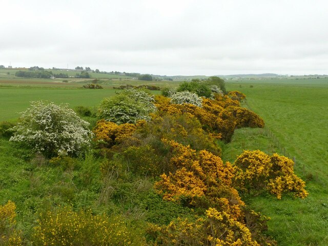
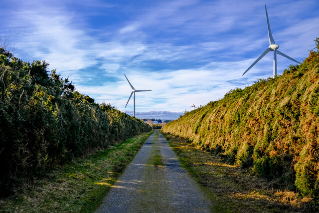
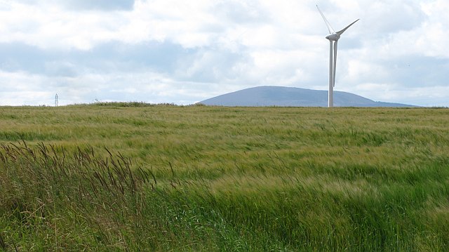
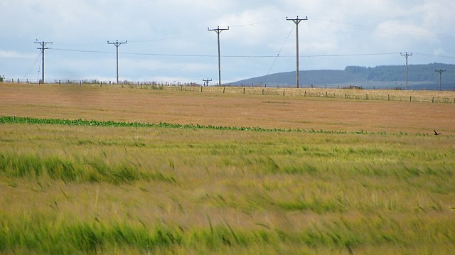
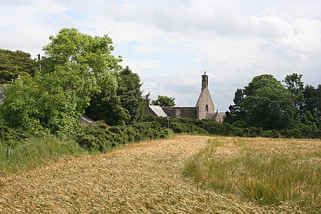
Greencothill Plantation is a scenic and expansive woodland located in Banffshire, Scotland. Situated amidst the Downs and Moorland region, it covers a vast area of approximately 500 acres. The plantation is renowned for its lush greenery and diverse flora and fauna.

The plantation is characterized by a mix of native and non-native tree species, including oak, birch, beech, and pine. These trees create a rich and varied habitat, providing shelter and sustenance for a wide range of wildlife. Visitors to Greencothill Plantation can expect to encounter various bird species, such as buzzards, owls, and woodpeckers, as well as small mammals like red squirrels and voles.

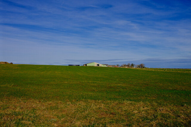
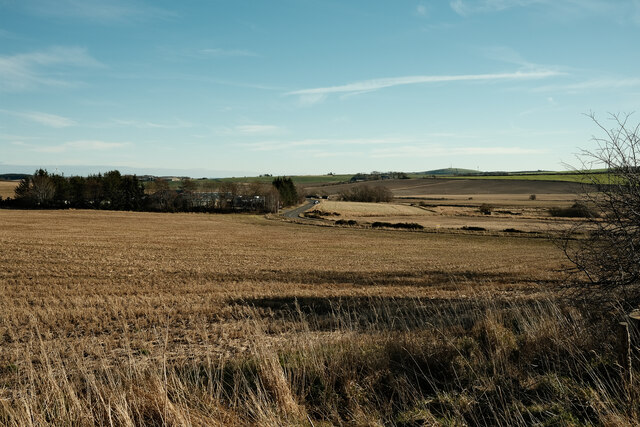
The terrain of the plantation is varied, with gentle slopes and undulating hills that offer breathtaking panoramic views of the surrounding countryside. This makes it an ideal destination for outdoor enthusiasts, hikers, and nature lovers. Several walking trails crisscross the plantation, allowing visitors to explore the area at their own pace and appreciate the serene beauty of the Scottish landscape.

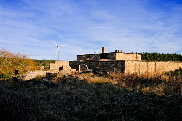
Greencothill Plantation is not only a haven for nature but also holds historical significance. The remains of ancient settlements and archaeological sites can be found within its boundaries, offering glimpses into the area's past.

With its natural beauty, diverse wildlife, and historical charm, Greencothill Plantation is a destination that appeals to both locals and tourists seeking a peaceful retreat and a chance to connect with nature.

If you have any feedback on the listing, please let us know in the comments section below.

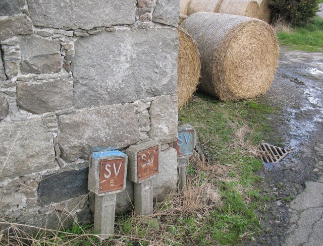
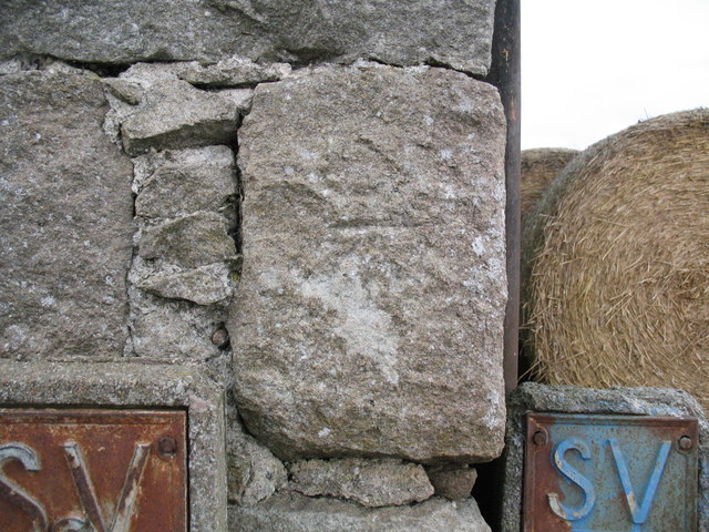
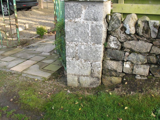
Greencothill Plantation Images

Images are sourced within 2km of 57.664448/-2.6175444 or Grid Reference NJ6364. Thanks to Geograph Open Source API. All images are credited.

Former railway line to Banff One of the locations where the course of this branch is still evident, the shallow cutting having not been put to the plough.
Former railway line to Banff
One of the locations where the course of this branch is still evident, the shallow cutting having not been put to the plough.
Boyndie The centre of the village of Boyndie
Boyndie
The centre of the village of Boyndie
Boyndie The road out or into Boyndie
Boyndie
The road out or into Boyndie
Thriepland farm Looking towards the farm at Thriepland
Thriepland farm
Looking towards the farm at Thriepland
Windfarm roads The old taxiways of Boyndie airfield now overgrown and used as access roads for the windfarm
Windfarm roads
The old taxiways of Boyndie airfield now overgrown and used as access roads for the windfarm
Old airfield building A ruined control room building for the Boyndie Airfield
Old airfield building
A ruined control room building for the Boyndie Airfield
A view of the A98 Looking over the fields towards the A98
A view of the A98
Looking over the fields towards the A98
Boyndie Windfarm One of the turbins at the Boyndie Windfarm
Boyndie Windfarm
One of the turbins at the Boyndie Windfarm
The drive to Easter Whyntie
Water main markers, Nether Dallachy Farm Water main markers and also a very weathered Ordnance Survey benchmark on the corner of the barn (photograph <a href="https://www.geograph.org.uk/photo/6502997">NJ6464 : Ordnance Survey benchmark, Nether Dallachy Farm</a>).
Water main markers, Nether Dallachy Farm
Water main markers and also a very weathered Ordnance Survey benchmark on the corner of the barn (photograph NJ6464 : Ordnance Survey benchmark, Nether Dallachy Farm).
Ordnance Survey benchmark, Nether Dallachy Farm Heavily weathered Ordnance Survey benchmark on the corner of the barn marking a height of 52.9867m above sea level (Ordnance Datum Newlyn) last verified in 1975 (location photograph <a href="https://www.geograph.org.uk/photo/6502979">NJ6464 : Water main markers, Nether Dallachy Farm</a>).
Water main stop valve markers are adjacent.
Ordnance Survey benchmark, Nether Dallachy Farm
Heavily weathered Ordnance Survey benchmark on the corner of the barn marking a height of 52.9867m above sea level (Ordnance Datum Newlyn) last verified in 1975 (location photograph NJ6464 : Water main markers, Nether Dallachy Farm). Water main stop valve markers are adjacent.
Ordnance Survey benchmark, Boyndie The weathered Ordnance Survey benchmark cut into the base of the gatepost of the former St. Brandon's Church marks a height of 54.9449m above sea level (Ordnance Datum Newlyn) last verified in 1975 (photograph <a href="https://www.geograph.org.uk/photo/6503025">NJ6463 : Ordnance Survey Benchmark on gatepost, Boyndie</a>).
Ordnance Survey benchmark, Boyndie
The weathered Ordnance Survey benchmark cut into the base of the gatepost of the former St. Brandon's Church marks a height of 54.9449m above sea level (Ordnance Datum Newlyn) last verified in 1975 (photograph NJ6463 : Ordnance Survey Benchmark on gatepost, Boyndie).
Ordnance Survey Benchmark on gatepost, Boyndie Detail of the weathered Ordnance Survey benchmark on the gatepost of the former St. Brandon's Church, Boyndie.  The benchmark marks a height of 54.9449m above sea level (Ordnance Datum Newlyn) last verified in 1975 (location photograph <a href="https://www.geograph.org.uk/photo/6503017">NJ6463 : Ordnance Survey benchmark, Boyndie</a>).
Ordnance Survey Benchmark on gatepost, Boyndie
Detail of the weathered Ordnance Survey benchmark on the gatepost of the former St. Brandon's Church, Boyndie. The benchmark marks a height of 54.9449m above sea level (Ordnance Datum Newlyn) last verified in 1975 (location photograph NJ6463 : Ordnance Survey benchmark, Boyndie).
Barley by Boyndie Ripening barley with a clover rich headland strip. Taken in a stiff wind which was making the barley look spectacular, but hindering westward progress.
Barley by Boyndie
Ripening barley with a clover rich headland strip. Taken in a stiff wind which was making the barley look spectacular, but hindering westward progress.
Pigs by Boyndie A field of pigs in a landscape dominated by nearby wind turbines. The turbines were doing a fair trade today with a very strong wind.
Pigs by Boyndie
A field of pigs in a landscape dominated by nearby wind turbines. The turbines were doing a fair trade today with a very strong wind.
Barley, Whyntie Spring barley which was still green unlike some neighbouring fields. A view beyond the wind turbines towards Knock Hill.
Barley, Whyntie
Spring barley which was still green unlike some neighbouring fields. A view beyond the wind turbines towards Knock Hill.
Farmland, Boyndie Ripening barley within earshot of a small wind farm.
Farmland, Boyndie
Ripening barley within earshot of a small wind farm.
House fire Heading in to work early morning I came across this house fire. The large victorian hospital on this site is being demolished and this would appear to be part of the procedure.
House fire
Heading in to work early morning I came across this house fire. The large victorian hospital on this site is being demolished and this would appear to be part of the procedure.
Show me another place!

Greencothill Plantation is located at Grid Ref: NJ6364 (Lat: 57.664448, Lng: -2.6175444)

Unitary Authority: Aberdeenshire

Police Authority: North East

What 3 Words

///soft.community.orders. Near Whitehills, Aberdeenshire

Nearby Locations

Greencothill Plantation

Related Wikis

Boyndie

Boyndie is a village in Aberdeenshire, Scotland. == History == Boyndie was once home to RAF Banff Strike Wing, which played a pivotal role in protecting...

RAF Banff

Royal Air Force Banff or more simply RAF Banff is a former Royal Air Force station located 4 miles (6 km) west of Banff, Aberdeenshire, Scotland and 14...

Ladysbridge Hospital

Ladysbridge Hospital was a mental health facility near Banff, Aberdeenshire, Scotland. The former hospital is a Category B listed building. == History... ==

Ladysbridge railway station

Ladysbridge railway station was a station in Aberdeenshire, Scotland. Opened as Lady's Bridge railway station in 1859 it was renamed Ladysbridge railway...

Ordens railway station

Ordens railway station was opened in 1859, its services restricted and renamed Ordens Platform railway station by 1911 and finally Ordens Halt railway...

Boyne Castle

Boyne Castle (also known as the Palace of Boyne) is a 16th-century quadrangular castle about 1.5 miles (2.4 km) east of Portsoy, Aberdeenshire, Scotland...

Whitehills

Whitehills is a small fishing village in Banffshire, Scotland, that lies three miles (five kilometres) west of Banff on the Moray Firth. It forms part...

Banff distillery

Banff distillery was a producer of single malt Scotch whisky that operated between 1863 and 1983. == History == The first distillery to use the name "Banff...

Nearby Amenities

Located within 500m of 57.664448,-2.6175444
Generator Method: wind_turbine
Generator Source: wind
Generator Type: horizontal_axis
Power: generator
Lat/Long: 57.6641998/-2.6156648
Generator Method: wind_turbine
Generator Source: wind
Generator Type: horizontal_axis
Power: generator
Lat/Long: 57.6641855/-2.6224314
Power: pole
Lat/Long: 57.6687086/-2.6194085
Power: pole
Lat/Long: 57.6685035/-2.6181807
Power: pole
Lat/Long: 57.6683178/-2.6170483
Power: pole
Lat/Long: 57.6681406/-2.6159362
Power: pole
Lat/Long: 57.6679755/-2.6148287
Power: pole
Lat/Long: 57.6677971/-2.6136803
Power: pole
Lat/Long: 57.6678748/-2.6127362
The data included in this document is from www.openstreetmap.org. The data is made available under ODbL.

Have you been to Greencothill Plantation?

Leave your review of Greencothill Plantation below (or comments, questions and feedback).