Fair Oak Fell
Downs, Moorland in Lancashire Ribble Valley
England
Fair Oak Fell
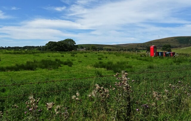
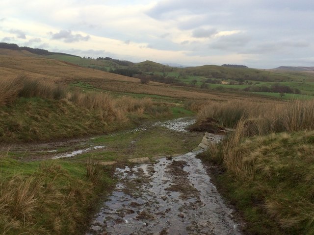
Fair Oak Fell is a picturesque area located in Lancashire, England. Situated amidst the stunning natural landscapes of the Downs and Moorland, it offers a tranquil and idyllic retreat for nature enthusiasts and outdoor lovers. Covering a vast expanse, the fell is characterized by rolling hills, heather-clad moors, and dense woodlands.
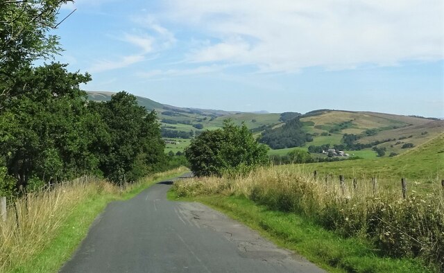
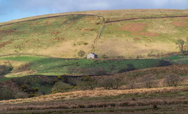
The terrain of Fair Oak Fell is diverse, featuring undulating slopes and rugged paths that meander through the area. The hills offer panoramic views of the surrounding countryside, with glimpses of the nearby villages and towns. The moorland, on the other hand, is a haven for wildlife, including rare bird species such as curlews and peregrine falcons. The heather blooms in vibrant hues, transforming the landscape into a stunning patchwork of colors during the summer months.
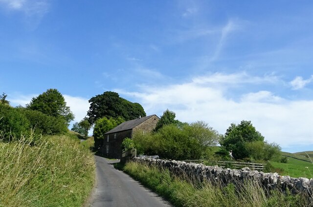
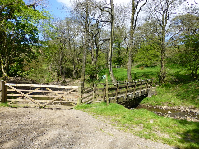
The woodlands of Fair Oak Fell are home to a variety of tree species, including oak, birch, and beech. These ancient woods provide a sanctuary for various flora and fauna, making it a perfect spot for leisurely walks and nature exploration. Visitors can also find enchanting streams and small waterfalls that add to the area's natural beauty.
Fair Oak Fell offers an array of recreational activities for visitors to enjoy. Hiking and walking trails crisscross the fell, allowing visitors to discover its hidden gems at their own pace. Picnic areas and designated camping spots are available for those seeking to immerse themselves in the peaceful ambiance of the area.
Overall, Fair Oak Fell in Lancashire is a captivating destination that seamlessly blends natural beauty with outdoor adventure. Its diverse landscapes, from the rolling hills to the heather-clad moorland and ancient woodlands, provide a haven for both wildlife and visitors seeking solace in nature.
If you have any feedback on the listing, please let us know in the comments section below.
Fair Oak Fell Images
Images are sourced within 2km of 53.920512/-2.5660459 or Grid Reference SD6247. Thanks to Geograph Open Source API. All images are credited.


Fair Oak Fell is located at Grid Ref: SD6247 (Lat: 53.920512, Lng: -2.5660459)
Administrative County: Lancashire
District: Ribble Valley
Police Authority: Lancashire
What 3 Words
///update.showering.golf. Near Longridge, Lancashire
Nearby Locations
Related Wikis

Bowland-with-Leagram
Bowland-with-Leagram is a civil parish in the Ribble Valley district of Lancashire, England, covering part of the Forest of Bowland. According to the census...

Whitewell
Whitewell is a village within the civil parish of Bowland Forest Low and Ribble Valley borough of Lancashire, England. It is in the Forest of Bowland Area...

Whitewell Hotel
Whitewell Hotel is an historic building in the English parish of Bowland Forest Low, Lancashire. It is Grade II listed, built in 1836, and is in sandstone...

Forest of Bowland
The Forest of Bowland, also known as the Bowland Fells and formerly the Chase of Bowland, is an area of gritstone fells, deep valleys and peat moorland...
Related Videos
Walking Parlick Fell and Paddy's Pole #ukhiking #lancashire #landscape
Spring walk on Parlick fell. A beautiful day walking in the spring sunshine. Lots of spring lambs in the fields. Fantastic to see plenty ...

Wolf Fairsnape and Parlick Fells
A super, smashing, great walk up onto Parlick via Wolf Fell and Fairsnape fell today. Glorious sunshine all the way but a tad bit ...

Fair Snape Fell and Parlick, A quiet hike in the Forest Of Bowland.
Hello fellow YouTubers this video is the latest hiking adventure in the Forest Of Bowland! One of my favourite walks because of ...

Cold Coats Trig
I have been very tardy of late and neglected my trigpointing in favour of my wild camping. That all changed today, gear chucked in ...
Nearby Amenities
Located within 500m of 53.920512,-2.5660459Have you been to Fair Oak Fell?
Leave your review of Fair Oak Fell below (or comments, questions and feedback).