Brae of Ord

Downs, Moorland in Banffshire

Scotland

Brae of Ord

Hill of Culbirnie Trig Point Flush Bracket S6201
Hill of Culbirnie Trig Point Flush Bracket S6201 Credit: thejackrustles

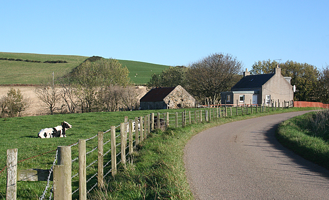
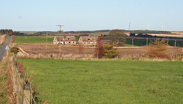
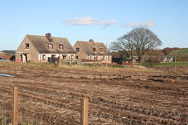
Brae of Ord is a small village located in the county of Banffshire, Scotland. Situated amidst the picturesque Downs and Moorland, it offers a serene and natural environment for residents and visitors alike. The village is nestled within a valley, surrounded by rolling hills and stunning landscapes.

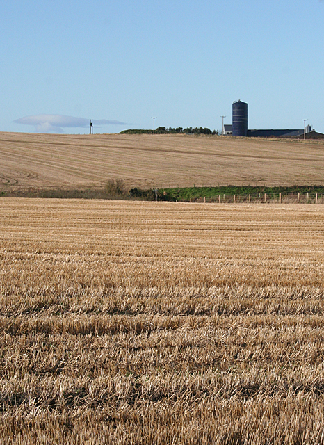
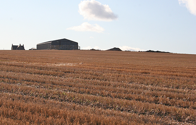
The Downs in Brae of Ord are characterized by their gentle slopes and lush greenery. These areas are perfect for outdoor activities such as hiking, cycling, and horse riding. The stunning views from the Downs attract nature enthusiasts and photographers, offering a glimpse into the beauty of the Scottish countryside.

Moorland, on the other hand, adds a touch of wilderness to the village. With its vast expanses of open heather-covered land, it provides a unique habitat for a variety of wildlife. Visitors can spot birds, deer, and other creatures that call the moorland home.

Although a small village, Brae of Ord has its own charm. The local community is warm and welcoming, making visitors feel at home. The village offers basic amenities such as shops, cafes, and a post office, ensuring convenience for both residents and tourists.

For those seeking a peaceful retreat or an escape from the hustle and bustle of city life, Brae of Ord in Banffshire is an ideal destination. Its natural beauty, combined with the friendly community, makes it a hidden gem in the Scottish countryside.

If you have any feedback on the listing, please let us know in the comments section below.
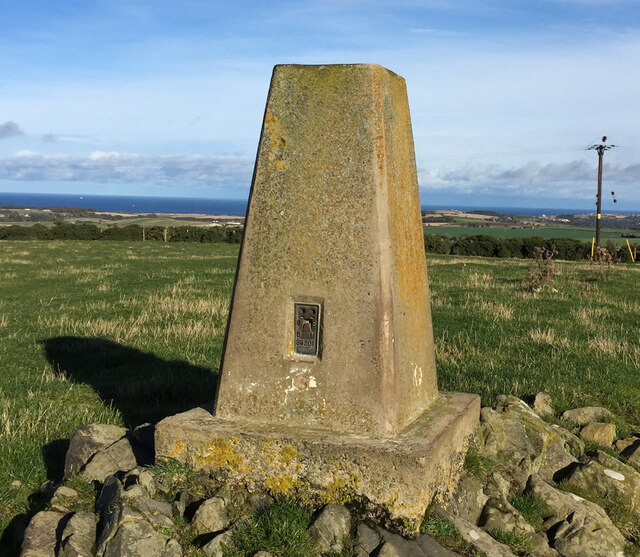
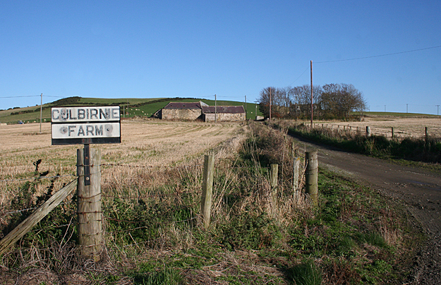
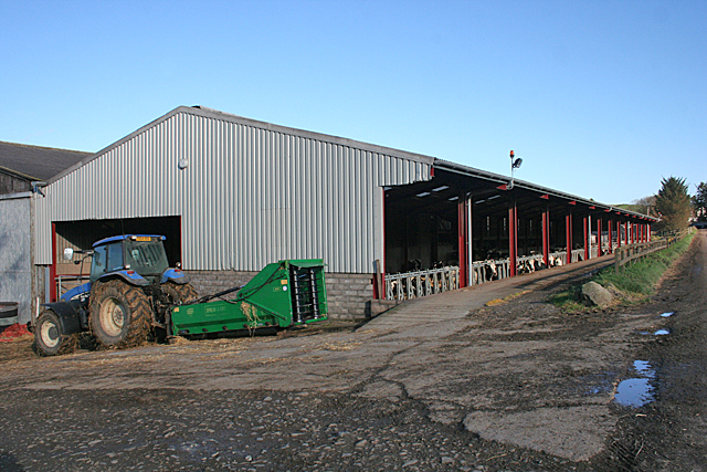
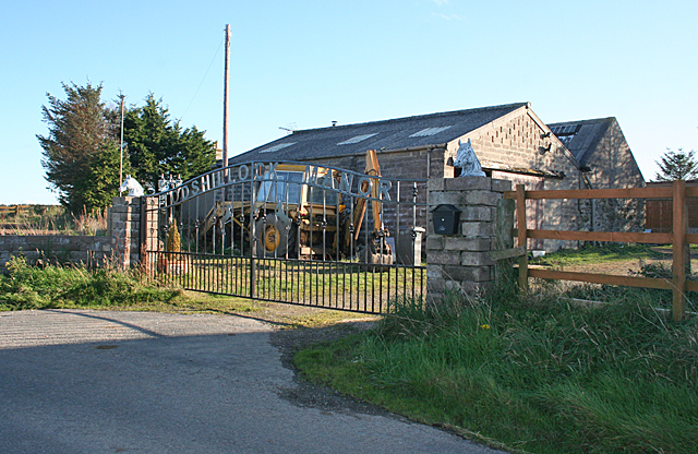
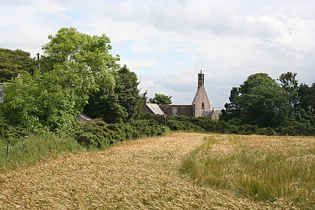
Brae of Ord Images

Images are sourced within 2km of 57.620614/-2.6282846 or Grid Reference NJ6259. Thanks to Geograph Open Source API. All images are credited.

Hill of Culbirnie Trig Point Flush Bracket S6201
Culbirnie or Cowfords? The map says Cowfords, the sign says Culbirnie. In fact the same road gives access to Culbirnie Parks and Easter Culbirnie as well as to Cowfords. In the background is the Hill of Culbirnie.
Culbirnie or Cowfords?
The map says Cowfords, the sign says Culbirnie. In fact the same road gives access to Culbirnie Parks and Easter Culbirnie as well as to Cowfords. In the background is the Hill of Culbirnie.
Cottage at the Corner The cottage by the side of the minor road from Oldtown is not named on the maps.
Cottage at the Corner
The cottage by the side of the minor road from Oldtown is not named on the maps.
Cattle Court at Boghead A large modern building houses a large herd of Holstein Friesian dairy cattle.
Cattle Court at Boghead
A large modern building houses a large herd of Holstein Friesian dairy cattle.
Upper Blairmaud The large farm of Upper Blairmaud stands on a ridge which runs north to south across this square, partly hidden from here by the lie of the land. The green in the middle is the bank on one side of the Den of Denniston, a dip eroded by a headwater of the Burn of Boyndie.
Upper Blairmaud
The large farm of Upper Blairmaud stands on a ridge which runs north to south across this square, partly hidden from here by the lie of the land. The green in the middle is the bank on one side of the Den of Denniston, a dip eroded by a headwater of the Burn of Boyndie.
Looking towards Cairns of Ord The farm buildings are in the next square, but the stubble field is in this square.
Looking towards Cairns of Ord
The farm buildings are in the next square, but the stubble field is in this square.
Alehouseburn Cottages The relatively modern cottages stand just off the B9025, on the access road to Alehouseburn Farm. On the skyline is the Boyndie wind farm.
Alehouseburn Cottages
The relatively modern cottages stand just off the B9025, on the access road to Alehouseburn Farm. On the skyline is the Boyndie wind farm.
Alehouseburn Cottages The relatively modern cottages stand just off the B9025, on the access road to Alehouseburn Farm, which can be seen to the right. It is in an adjacent square.
Alehouseburn Cottages
The relatively modern cottages stand just off the B9025, on the access road to Alehouseburn Farm, which can be seen to the right. It is in an adjacent square.
Cattle at Headtown They are beef cattle, but I am not sure what breed.
Cattle at Headtown
They are beef cattle, but I am not sure what breed.
Former School This building, now a private house, caught my eye because its distinctive architecture marks it as a former school. It was known, rather curiously, as Headrooms School, and it operated from 1924 until 1962. Beside it is a rare example of the Arcon Mk V pre-fabricated houses built after the Second World War. Compare with <a href="https://www.geograph.org.uk/photo/6669077">NJ5025 : A Pre-fab</a> and see <span class="nowrap"><a title="https://www.prefabmuseum.uk/content/history/one-arcon-story" rel="nofollow ugc noopener" href="https://www.prefabmuseum.uk/content/history/one-arcon-story">Link</a><img style="margin-left:2px;" alt="External link" title="External link - shift click to open in new window" src="https://s1.geograph.org.uk/img/external.png" width="10" height="10"/></span>
Former School
This building, now a private house, caught my eye because its distinctive architecture marks it as a former school. It was known, rather curiously, as Headrooms School, and it operated from 1924 until 1962. Beside it is a rare example of the Arcon Mk V pre-fabricated houses built after the Second World War. Compare with NJ5025 : A Pre-fab and see LinkExternal link
A Curious Name The map names this as Culburnie, but according to its own sign it has this rather unusual name. In fact a look at the first edition of the six-inch Ordnance Survey map <span class="nowrap"><a title="https://maps.nls.uk/geo/explore/#zoom=16&lat=57.6155&lon=-2.6397&layers=5&b=1" rel="nofollow ugc noopener" href="https://maps.nls.uk/geo/explore/#zoom=16&lat=57.6155&lon=-2.6397&layers=5&b=1">Link</a><img style="margin-left:2px;" alt="External link" title="External link - shift click to open in new window" src="https://s1.geograph.org.uk/img/external.png" width="10" height="10"/></span> names an area close by as Headrooms.
A Curious Name
The map names this as Culburnie, but according to its own sign it has this rather unusual name. In fact a look at the first edition of the six-inch Ordnance Survey map LinkExternal link names an area close by as Headrooms.
Cairns of Ord A large mixed farm surrounded by stubble fields.
Cairns of Ord
A large mixed farm surrounded by stubble fields.
Todshillock Todshillock boasts a fine wrought iron gate reading 'Todshillock Manor'.
Todshillock
Todshillock boasts a fine wrought iron gate reading 'Todshillock Manor'.
Minor road at West Reidside
The lane to New Croft.
Headtown Farm Though now named Headtown this farm is marked on the 1874 OS map as Denniston. The gully to the north is still named Den of Denniston.
Headtown Farm
Though now named Headtown this farm is marked on the 1874 OS map as Denniston. The gully to the north is still named Den of Denniston.
Strathord junction on the B9025.
Cairns of Ord lane.
Cairns of Ord lane.
Show me another place!

Brae of Ord is located at Grid Ref: NJ6259 (Lat: 57.620614, Lng: -2.6282846)

Unitary Authority: Aberdeenshire

Police Authority: North East

What 3 Words

///voice.destined.distilled. Near Aberchirder, Aberdeenshire

Nearby Locations

Brae of Ord

Related Wikis

Ordens railway station

Ordens railway station was opened in 1859, its services restricted and renamed Ordens Platform railway station by 1911 and finally Ordens Halt railway...
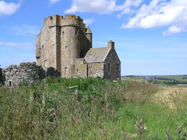
Inchdrewer Castle

Inchdrewer Castle is a 16th-century tower house in the parish of Banff, Aberdeenshire, in the north-east of Scotland. Situated on a slight rise 3.5 miles...

Tillynaught railway station

Tillynaught railway station or Tillynaught Junction was a junction railway station in what is now Aberdeenshire, Parish of Fordyce, 6 miles south-west...

Castle of Park (Aberdeenshire)

Park or Castle of Park, is an A-listed rambling baronial mansion incorporating a 16th-century tower house. It is 4 miles (6.4 km) north-west of Aberchirder...

Cornhill, Aberdeenshire

Cornhill (Scottish Gaelic: Cnoc an Arbhair) is a small village close to Banff, Aberdeenshire, Scotland. It lies 5 miles (8.0 km) to the south of Portsoy...

Cornhill railway station

Cornhill railway station was an intermediate stop situated on the Great North of Scotland Railway (GNoSR) line from Cairnie Junction to Tillynaught. There...

Boyndie

Boyndie is a village in Aberdeenshire, Scotland. == History == Boyndie was once home to RAF Banff Strike Wing, which played a pivotal role in protecting...

Ladysbridge railway station

Ladysbridge railway station was a station in Aberdeenshire, Scotland. Opened as Lady's Bridge railway station in 1859 it was renamed Ladysbridge railway...

Nearby Amenities

Located within 500m of 57.620614,-2.6282846
White Hill
Natural: peak
Lat/Long: 57.6202116/-2.627708
Power: pole
Lat/Long: 57.6218976/-2.635918
Power: pole
Lat/Long: 57.6213876/-2.6360277
Power: pole
Lat/Long: 57.6175359/-2.6329666
Power: pole
Lat/Long: 57.6178654/-2.6319084
Power: pole
Lat/Long: 57.6181908/-2.6308384
Power: pole
Lat/Long: 57.6185235/-2.6297605
Power: pole
Lat/Long: 57.618852/-2.6286905
Power: pole
Lat/Long: 57.6191879/-2.6275872
Power: pole
Lat/Long: 57.6195164/-2.6265309
Power: pole
Lat/Long: 57.6193936/-2.625406
Power: pole
Lat/Long: 57.6192424/-2.6243908
Power: pole
Lat/Long: 57.6191679/-2.623117
Power: pole
Lat/Long: 57.6190997/-2.6218882
Power: pole
Lat/Long: 57.6190346/-2.6207144
Power: pole
Lat/Long: 57.6177825/-2.627497
Power: pole
Lat/Long: 57.6179767/-2.626766
Power: pole
Lat/Long: 57.6181771/-2.6260292
Power: pole
Lat/Long: 57.6183944/-2.6252825
Power: pole
Lat/Long: 57.6185991/-2.6245535
Power: pole
Lat/Long: 57.6183094/-2.6238715
Power: pole
Lat/Long: 57.6180302/-2.6232209
Power: pole
Lat/Long: 57.6177405/-2.6225154
Power: pole
Lat/Long: 57.6189013/-2.6244731
The data included in this document is from www.openstreetmap.org. The data is made available under ODbL.

Have you been to Brae of Ord?

Leave your review of Brae of Ord below (or comments, questions and feedback).