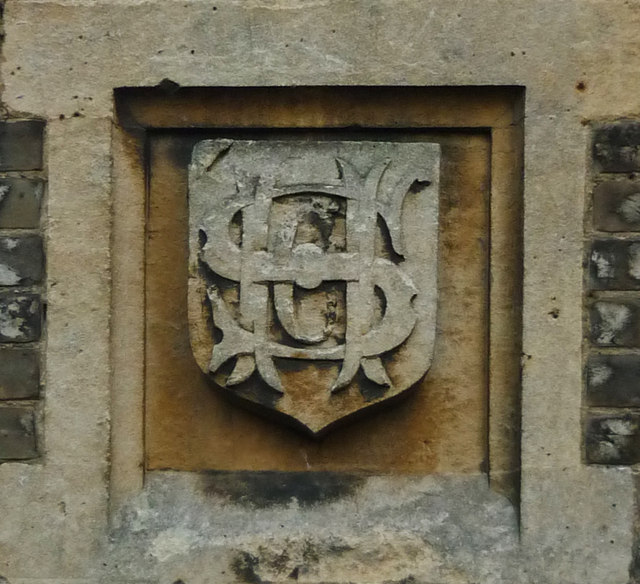
Hampstead Garden Suburb
Settlement in Middlesex
England
Hampstead Garden Suburb

Hampstead Garden Suburb is an affluent residential area located in the borough of Barnet, Middlesex, England. Situated approximately 8 miles northwest of central London, it is known for its charming architecture, green spaces, and peaceful atmosphere.
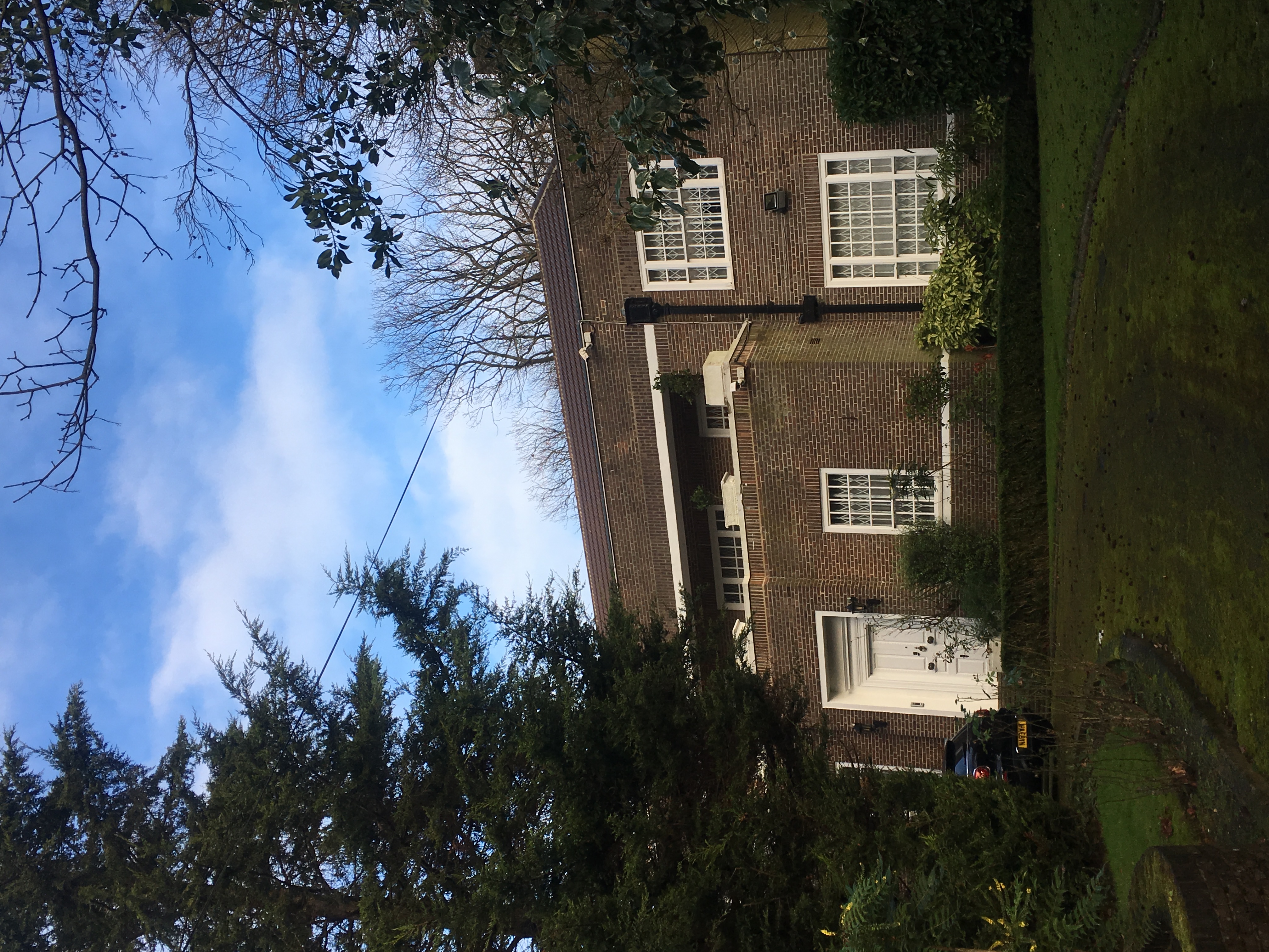
Designed in the early 20th century by renowned architect Raymond Unwin, Hampstead Garden Suburb was envisioned as a pioneering example of planned suburban development. The area comprises a mix of spacious detached and semi-detached houses, as well as a few apartment buildings, set amidst tree-lined streets and well-maintained gardens.
One of the defining features of Hampstead Garden Suburb is its commitment to preserving the natural environment. The suburb boasts an abundance of green spaces, including the picturesque Hampstead Heath Extension, which offers stunning views of the city skyline. Additionally, the area is home to a variety of parks, woodlands, and communal gardens, providing residents with ample opportunities for outdoor activities and recreation.
The suburb also offers a range of amenities and facilities to cater to its residents' needs. Hampstead Garden Suburb boasts a selection of shops, cafes, and restaurants, as well as a community center and a library. The area is served by several schools, both public and private, of excellent reputation, making it an attractive location for families.
Transport links in Hampstead Garden Suburb are convenient, with various bus routes connecting the area to nearby towns and underground stations. Furthermore, nearby major roadways, such as the A1 and A406, provide easy access to the wider London region.
Overall, Hampstead Garden Suburb is a highly sought-after residential area that offers a peaceful and idyllic setting while still being within close proximity to the bustling city life of London.
If you have any feedback on the listing, please let us know in the comments section below.
Hampstead Garden Suburb Images
Images are sourced within 2km of 51.581124/-0.181153 or Grid Reference TQ2688. Thanks to Geograph Open Source API. All images are credited.


Hampstead Garden Suburb is located at Grid Ref: TQ2688 (Lat: 51.581124, Lng: -0.181153)
Unitary Authority: Barnet
Police Authority: Metropolitan
What 3 Words
///deep.throw.suffice. Near Hendon, London
Nearby Locations
Related Wikis

Hampstead Garden Suburb
Hampstead Garden Suburb is an elevated suburb of London, north of Hampstead, west of Highgate and east of Golders Green. It is known for its intellectual...
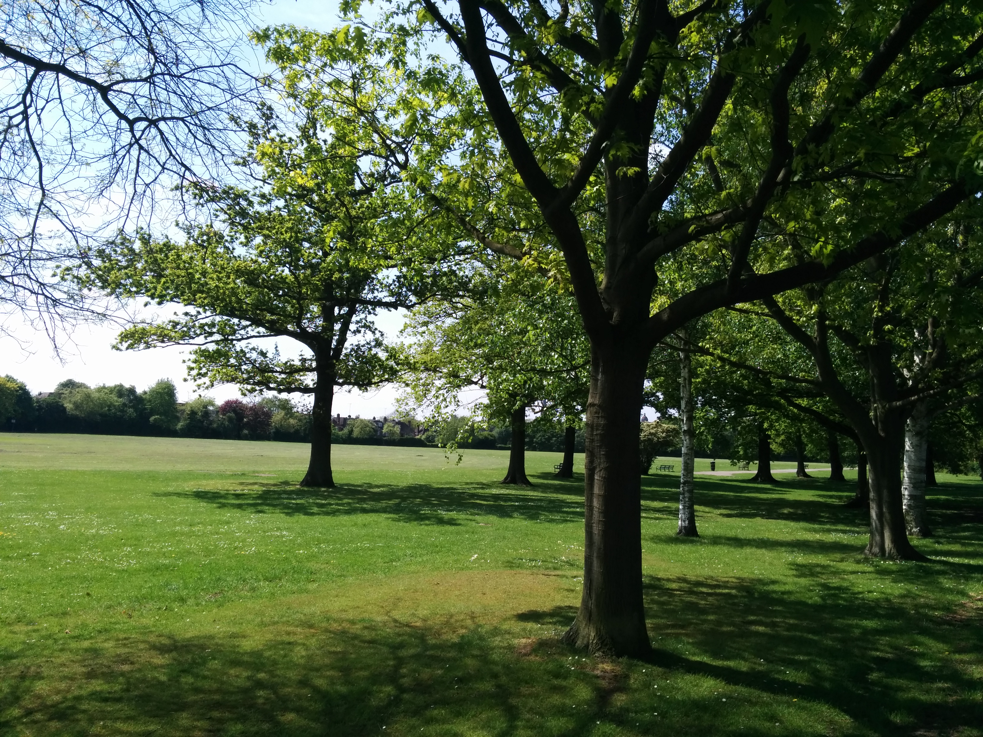
Lyttelton Playing Fields
Lyttelton Playing Fields is a 9 hectare public park in Hampstead Garden Suburb in the London Borough of Barnet. It is one of Barnet's 'Premier Parks'.Most...

Henrietta Barnett School
The Henrietta Barnett School is a grammar school with academy status for girls, in Hampstead Garden Suburb in London. The Good Schools Guide called the...
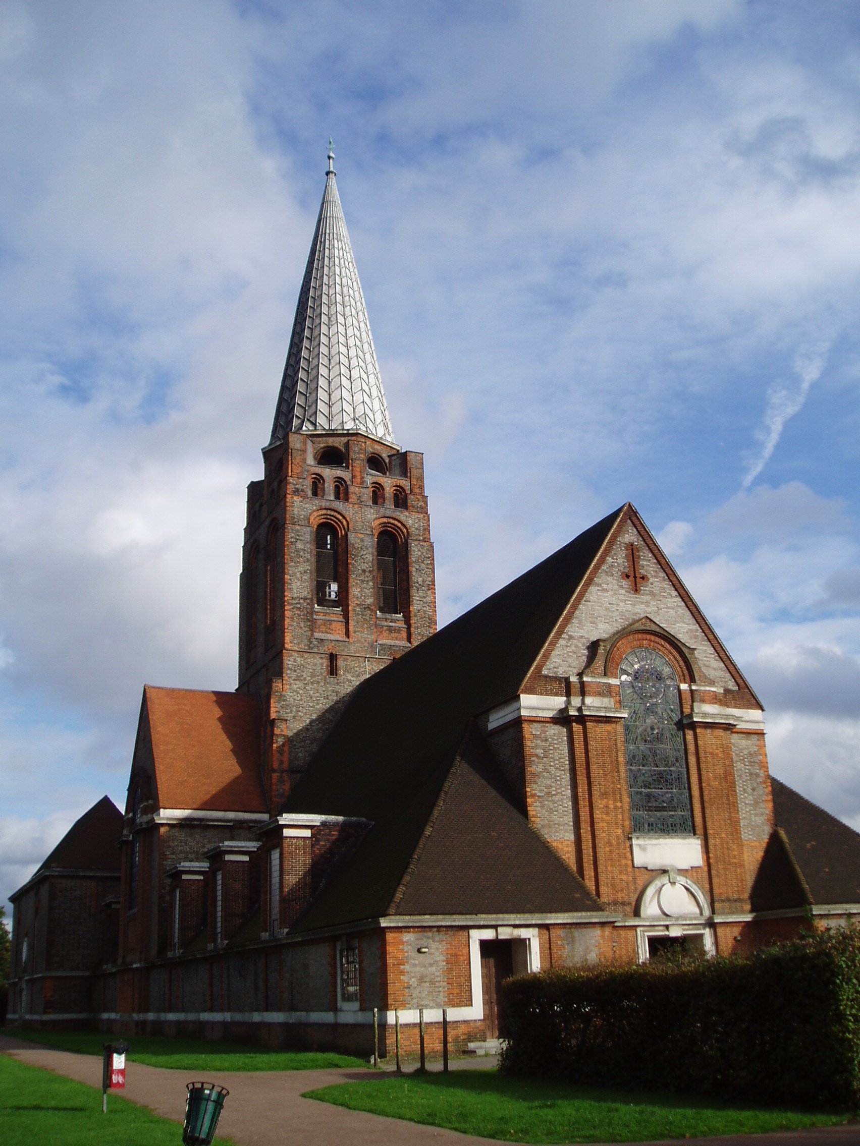
St Jude's Church, Hampstead Garden Suburb
The Parish Church of St Jude-on-the-Hill (usually known simply as St Jude's), is the parish church of Hampstead Garden Suburb in north London. The suburb...
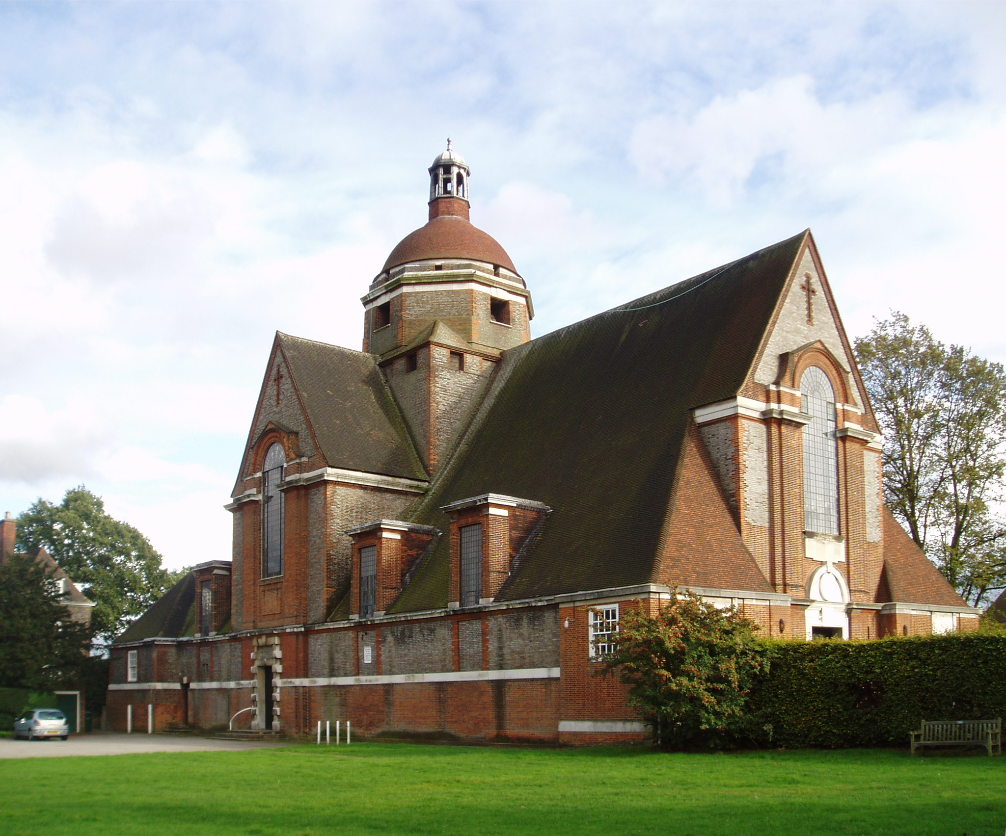
Free Church, Hampstead Garden Suburb
The Free Church is a building located in Hampstead Garden Suburb, Barnet, London. It was built to a design by Sir Edwin Lutyens starting in 1911, and,...
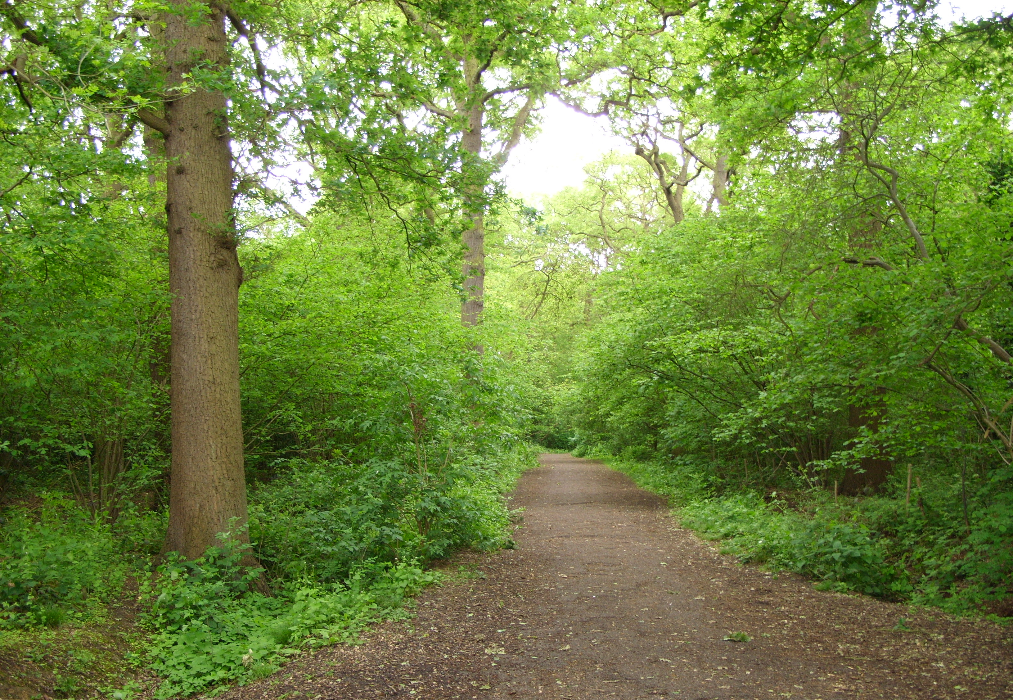
Big Wood and Little Wood
Big Wood and Little Wood are two patches of woodland in Hampstead Garden Suburb in the London Borough of Barnet. They are a Site of Borough Importance...
Spaniards Mount
Spaniards Mount at 61 Winnington Road in Hampstead Garden Suburb, London is a detached house that was designed by the architect Adrian Gilbert Scott as...
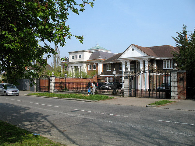
The Bishops Avenue
The Bishops Avenue, London N2, connects the north side of Hampstead Heath at Kenwood (Hampstead Lane), Hampstead to East Finchley and is on the boundary...
Nearby Amenities
Located within 500m of 51.581124,-0.181153Have you been to Hampstead Garden Suburb?
Leave your review of Hampstead Garden Suburb below (or comments, questions and feedback).