Hareden Fell
Downs, Moorland in Yorkshire Ribble Valley
England
Hareden Fell
Hareden Fell is a picturesque upland area located in the county of Yorkshire, England. Situated between the Yorkshire Dales and the North York Moors, it forms part of the stunning landscape that characterizes the region. The fell, also known as Hareden Moorland, offers a diverse and captivating environment for visitors to explore.
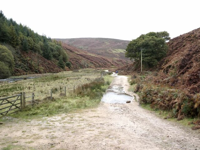
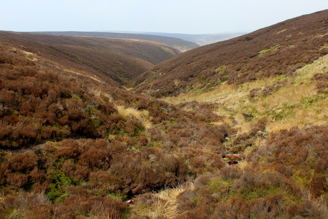
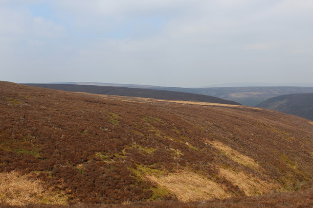
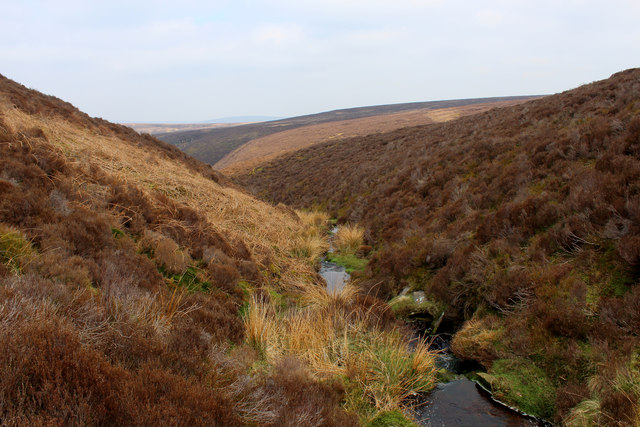
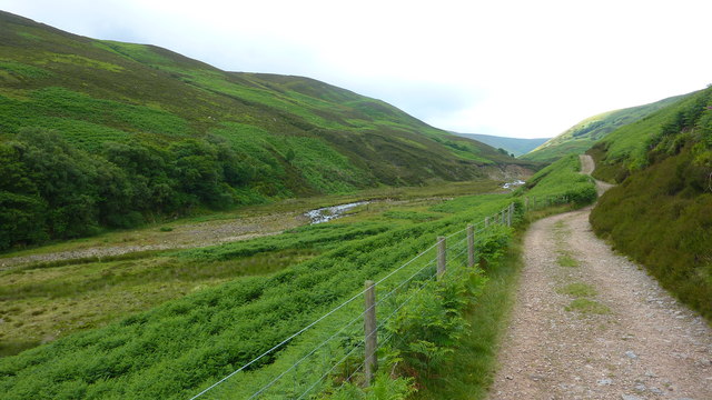
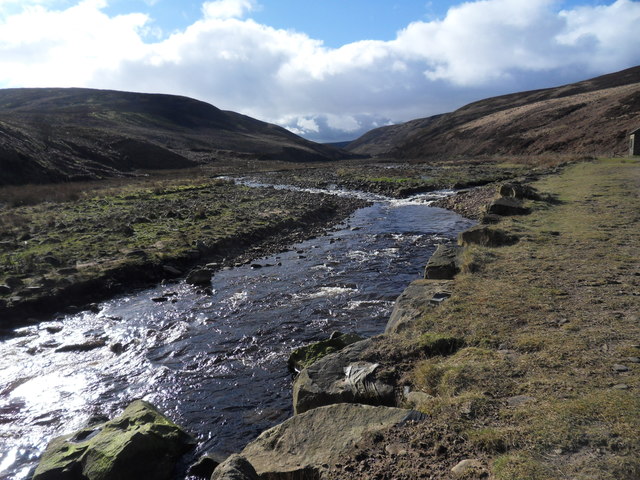
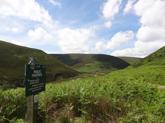
Covering a vast area of rolling hills and rugged terrain, Hareden Fell is renowned for its stunning panoramic views. The landscape is dominated by heather-covered moorland, which bursts into vibrant purple hues during the summer months. The fell is also home to a variety of wildlife, including grouse, curlews, and golden plovers, making it a popular destination for birdwatchers and nature enthusiasts.
The area is crisscrossed by a network of footpaths and trails, offering visitors the opportunity to discover its beauty on foot. The terrain can be challenging in places, with steep slopes and uneven ground, but the reward is well worth the effort. At the summit of Hareden Fell, walkers are treated to breathtaking vistas of the surrounding countryside, with rolling hills stretching as far as the eye can see.
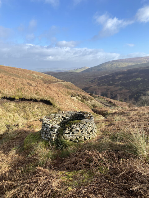
Hareden Fell is also steeped in history and folklore. Ancient stone circles and burial mounds dot the landscape, providing a glimpse into the area's rich past. Local legends speak of hidden treasures and mythical creatures that roam the moors, adding an air of mystery to this enchanting place.
Overall, Hareden Fell is a captivating destination that offers visitors the chance to immerse themselves in the natural beauty and history of Yorkshire's uplands.
If you have any feedback on the listing, please let us know in the comments section below.
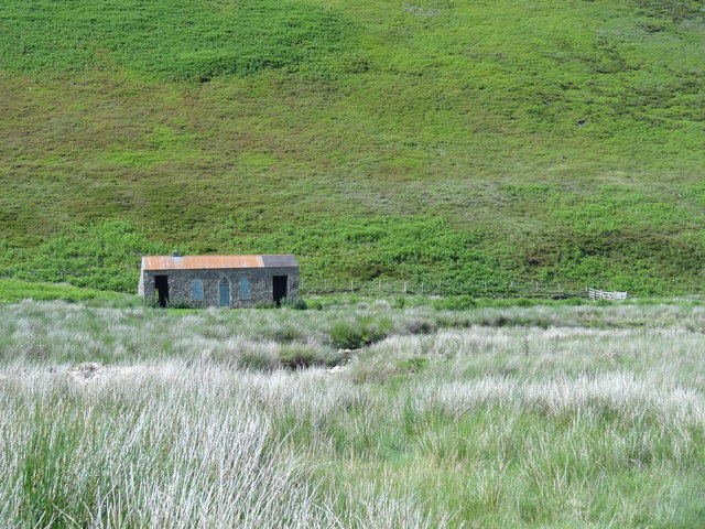
Hareden Fell Images
Images are sourced within 2km of 53.937326/-2.5797696 or Grid Reference SD6249. Thanks to Geograph Open Source API. All images are credited.


Hareden Fell is located at Grid Ref: SD6249 (Lat: 53.937326, Lng: -2.5797696)
Division: West Riding
Administrative County: Lancashire
District: Ribble Valley
Police Authority: Lancashire
What 3 Words
///powder.branched.tailing. Near Longridge, Lancashire
Nearby Locations
Related Wikis

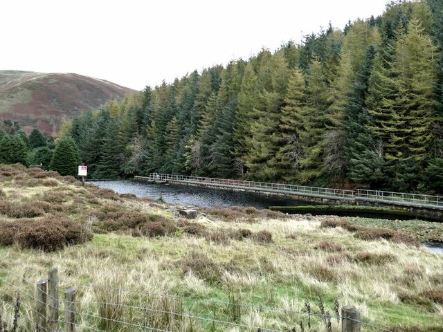
Forest of Bowland
The Forest of Bowland, also known as the Bowland Fells and formerly the Chase of Bowland, is an area of gritstone fells, deep valleys and peat moorland...

Sykes Smelt Mill
Sykes Smelt Mill was a mediaeval mill located between Sykes and Hareden in Bowland Forest High, Lancashire, England. It stood on the banks of Langden Brook...

Trough of Bowland
The Trough of Bowland is a valley and high pass in the Forest of Bowland Area of Outstanding Natural Beauty, Lancashire, England. The pass, reaching 968...

Bowland Forest High milestone
The Bowland Forest High milestone is an historic milestone marker in the English parish of Bowland Forest High, in the Trough of Bowland, Lancashire. A...
Nearby Amenities
Located within 500m of 53.937326,-2.5797696Have you been to Hareden Fell?
Leave your review of Hareden Fell below (or comments, questions and feedback).