Braeside

Downs, Moorland in Kincardineshire

Scotland

Braeside

Arnhall Quarry Extensive area of shallow quarrying near Gannochy. Extracting sands and gravels from glacial deposits at the end of Glen Esk.
Arnhall Quarry Credit: Gordon Hatton

Braeside is a small village located in the region of Kincardineshire, Scotland. Situated on the downs and moorland, the village offers stunning natural landscapes and peaceful surroundings. With a population of around 300 residents, Braeside is known for its close-knit community and friendly atmosphere.

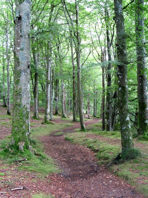
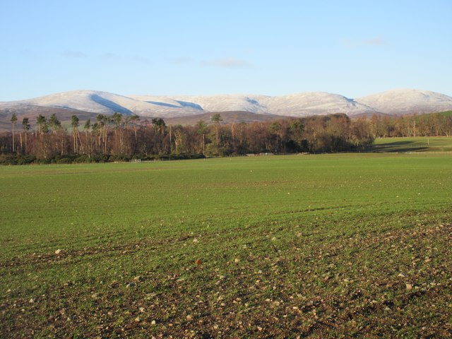
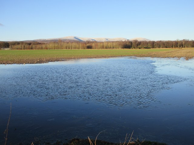
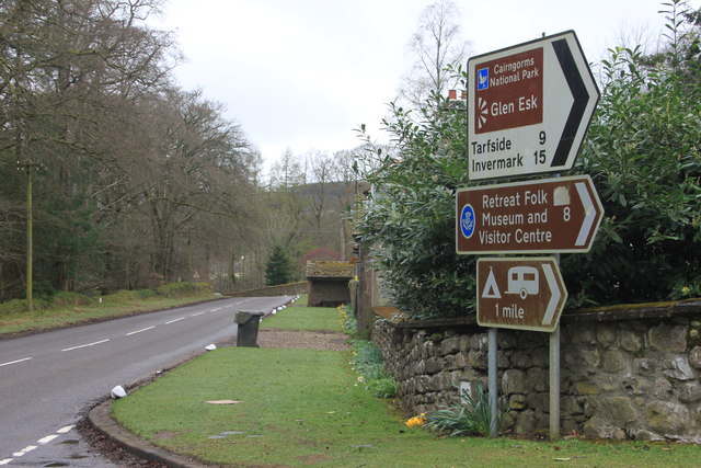
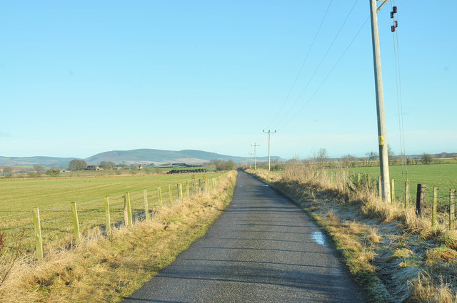
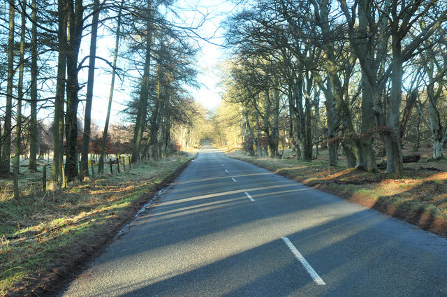
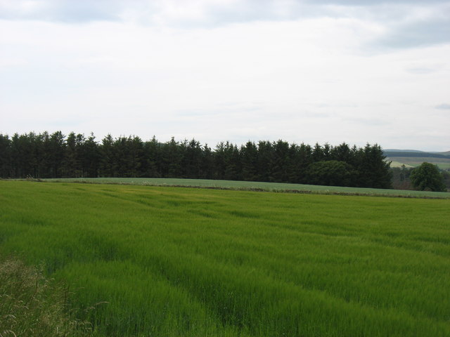
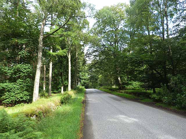
The village is characterized by its picturesque countryside, with rolling hills and open fields stretching as far as the eye can see. The downs and moorland provide ample opportunities for outdoor activities such as hiking, cycling, and birdwatching. Visitors can explore the vast expanses of heather-covered moors and enjoy the breathtaking views from the hilltops.

Braeside is also home to a few traditional stone cottages, which add to the village's charm and character. These cottages, along with a small number of modern houses, make up the residential area of the village. The tight-knit community often organizes events and activities, fostering a strong sense of belonging among its residents.

Although Braeside is a small village, it is not far from larger towns and cities, offering easy access to amenities and services. The nearby town of Stonehaven provides shops, restaurants, and schools, making it convenient for residents to meet their daily needs.

In summary, Braeside is a serene and picturesque village nestled amidst the downs and moorland of Kincardineshire. With its stunning natural landscapes and close-knit community, it is an ideal destination for those seeking a peaceful retreat in the Scottish countryside.

If you have any feedback on the listing, please let us know in the comments section below.

Braeside Images

Images are sourced within 2km of 56.835579/-2.6267585 or Grid Reference NO6171. Thanks to Geograph Open Source API. All images are credited.

Arnhall Quarry Extensive area of shallow quarrying near Gannochy. Extracting sands and gravels from glacial deposits at the end of Glen Esk.
Arnhall Quarry
Extensive area of shallow quarrying near Gannochy. Extracting sands and gravels from glacial deposits at the end of Glen Esk.
Gannochy Tower An 18th century folly in woodland above the River North Esk. Grade 'C' listed. Not sure if it was built as a romantic ruin, or whether it fell apart.
Gannochy Tower
An 18th century folly in woodland above the River North Esk. Grade 'C' listed. Not sure if it was built as a romantic ruin, or whether it fell apart.
Woodland path near Gannochy Bridge This path follows the left bank of the River North Esk and begins as a very pleasant woodland route. Further on towards Edzell the path is narrow and close by a fence before dropping suddenly and very steeply down a 15m bank to the waterside. Don't say I didn't warn you. The path on the right bank of the river is excellent all the way.
Woodland path near Gannochy Bridge
This path follows the left bank of the River North Esk and begins as a very pleasant woodland route. Further on towards Edzell the path is narrow and close by a fence before dropping suddenly and very steeply down a 15m bank to the waterside. Don't say I didn't warn you. The path on the right bank of the river is excellent all the way.
Old ruins by the road Difficult to see but there are a few old buildings at this layby
Old ruins by the road
Difficult to see but there are a few old buildings at this layby
Gannochy Tower Remains of a folly tower, built in the later 18th century. It is now a shell, has tall storeys with a high keyblocked arch at the east and a blind arch at the west, and is constructed from courses with slate cherry cocking.
<span class="nowrap"><a title="https://online.aberdeenshire.gov.uk/smrpub/master/detail.aspx?Authority=ASH&refno=NO67SW0116" rel="nofollow ugc noopener" href="https://online.aberdeenshire.gov.uk/smrpub/master/detail.aspx?Authority=ASH&refno=NO67SW0116">Link</a><img style="margin-left:2px;" alt="External link" title="External link - shift click to open in new window" src="https://s1.geograph.org.uk/img/external.png" width="10" height="10"/></span>
Gannochy Tower
Remains of a folly tower, built in the later 18th century. It is now a shell, has tall storeys with a high keyblocked arch at the east and a blind arch at the west, and is constructed from courses with slate cherry cocking. LinkExternal link
Field near Inch of Arnhall Looking north-west over a winter-cropped field near Inch of Arnhall, with the storm ravaged Saltire Wood beyond, and a snow and frost dusted Hill of Wirren.
Field near Inch of Arnhall
Looking north-west over a winter-cropped field near Inch of Arnhall, with the storm ravaged Saltire Wood beyond, and a snow and frost dusted Hill of Wirren.
Flooded field near Bogside Partly flooded field next to the roadside near Bogside.
Flooded field near Bogside
Partly flooded field next to the roadside near Bogside.
Gannochy Bridge Ganochy Bridge from the bed of the North Esk.
Gannochy Bridge
Ganochy Bridge from the bed of the North Esk.
Glen Esk road junction near Edzell
Minor road near Arnhall
Waterlogged field near Arnhall
Farm track near Arnhall
Road past Saltire Wood
Fields and woods south of Kirkton of Balfour
The "Blue Door" The notice on the Blue Door reads "The Burn House - North Esk "Blue Door" River Walk
- The Burn is an educational charitable trust - a study centre left in memory of James Russell, killed in action in 1944
- You are most welcome to walk along the river path" 
etc etc
The "Blue Door"
The notice on the Blue Door reads "The Burn House - North Esk "Blue Door" River Walk - The Burn is an educational charitable trust - a study centre left in memory of James Russell, killed in action in 1944 - You are most welcome to walk along the river path" etc etc
Gateway to the Burn The Burn is an educational charitable trust - a study centre left in memory of James Russell, killed in action in 1944. It was gifted to Goodenough College, London and is used to house post-graduate, undergraduate and school groups on short courses.
Gateway to the Burn
The Burn is an educational charitable trust - a study centre left in memory of James Russell, killed in action in 1944. It was gifted to Goodenough College, London and is used to house post-graduate, undergraduate and school groups on short courses.
Lots more still to fall The carpet of autumn leaves will soon be getting thicker in the Burn Estate here.
Lots more still to fall
The carpet of autumn leaves will soon be getting thicker in the Burn Estate here.
Glenesk road Near the start of the cul de sac road up Glenesk which runs for over 20 km.
Glenesk road
Near the start of the cul de sac road up Glenesk which runs for over 20 km.
Show me another place!

Braeside is located at Grid Ref: NO6171 (Lat: 56.835579, Lng: -2.6267585)

Unitary Authority: Aberdeenshire

Police Authority: North East

What 3 Words

///switch.landings.walls. Near Laurencekirk, Aberdeenshire

Nearby Locations

Tor Wood Braeside

Related Wikis

Edzell Woods

Edzell Woods is a village in the Kincardine and Mearns area of Aberdeenshire, Scotland. It is 4 miles (6.4 km) from Edzell by road, but only one mile...

RAF Edzell

Royal Air Force Edzell or more simply RAF Edzell is a former Royal Air Force satellite station located in Aberdeenshire, one mile east of Edzell in Angus...

Fettercairn distillery

Fettercairn distillery is a whisky distillery in Fettercairn. Situated under the Grampian foothills in the Howe of Mearns, Fettercairn town’s name is...

Inglis Memorial Hall

The Inglis Memorial Hall is a municipal structure in the High Street in Edzell, Angus, Scotland, which for much of the 20th century served as Edzell Parish...

Fettercairn

Fettercairn (, Scottish Gaelic: Fothair Chàrdain) is a small village in Aberdeenshire, Scotland, northwest of Laurencekirk in Aberdeenshire on the B966...

Edzell

Edzell (; Scots: Aigle; Scottish Gaelic: Eigill) is a village in Angus, Scotland. It is 5 miles (8 km) north of Brechin, by the River North Esk. Edzell...

Edzell railway station

Edzell railway station served the village of Edzell, Angus, Scotland from 1896 to 1964 on the Brechin and Edzell District Railway. == History == The station...
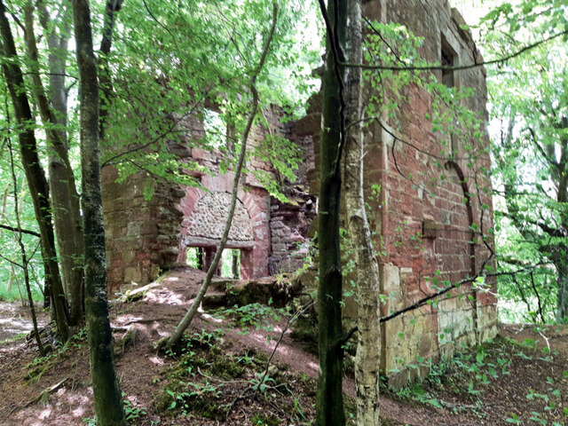
Edzell Castle

Edzell Castle is a ruined 16th-century castle, with an early-17th-century walled garden. It is located close to Edzell, and is around 5 miles (8 km) north...

Nearby Amenities

Located within 500m of 56.835579,-2.6267585
Power: pole
Lat/Long: 56.8340311/-2.6194441
Power: pole
Lat/Long: 56.8336186/-2.6203666
Power: pole
Lat/Long: 56.8332926/-2.6212343
Power: pole
Lat/Long: 56.8329584/-2.6221315
Power: pole
Lat/Long: 56.8326254/-2.6229761
Power: pole
Lat/Long: 56.8322786/-2.6239007
Power: pole
Lat/Long: 56.8319064/-2.6248927
Power: pole
Lat/Long: 56.8314617/-2.6260763
Power: pole
Lat/Long: 56.8313833/-2.6272684
Power: pole
Lat/Long: 56.8312992/-2.6285004
Power: pole
Lat/Long: 56.8340542/-2.6212828
Power: pole
Lat/Long: 56.8345404/-2.6223316
Power: pole
Lat/Long: 56.8349344/-2.6231867
Power: pole
Lat/Long: 56.8353596/-2.6240797
Power: pole
Lat/Long: 56.8358481/-2.624383
Power: pole
Lat/Long: 56.8362237/-2.625038
Power: pole
Lat/Long: 56.8365843/-2.6257288
The data included in this document is from www.openstreetmap.org. The data is made available under ODbL.

Have you been to Braeside?

Leave your review of Braeside below (or comments, questions and feedback).