Middle Shield Green
Downs, Moorland in Cumberland Carlisle
England
Middle Shield Green
Middle Shield Green is a small hamlet situated in the county of Cumberland, England. It is located within the region known as the Downs, which is characterized by rolling hills and picturesque landscapes. The hamlet is nestled amidst the rugged Moorland, offering residents and visitors a tranquil and scenic environment.
The population of Middle Shield Green is relatively small, with only a handful of houses and a close-knit community. The residents of this hamlet primarily rely on agriculture and livestock farming for their livelihoods. The fertile soil and favorable climate in the area make it suitable for cultivating crops, particularly grains and vegetables.
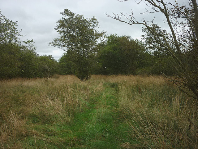
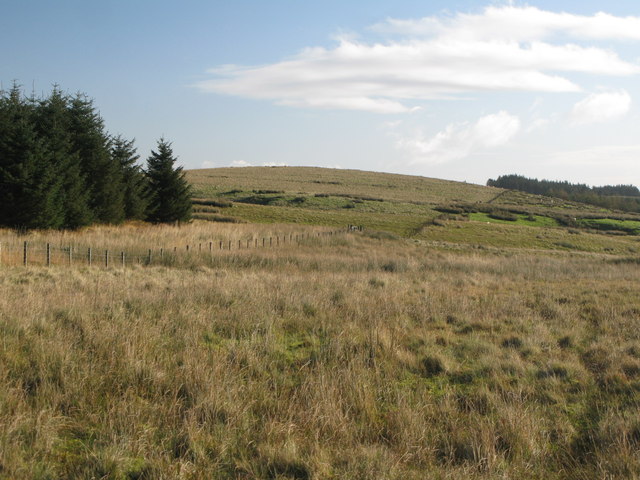
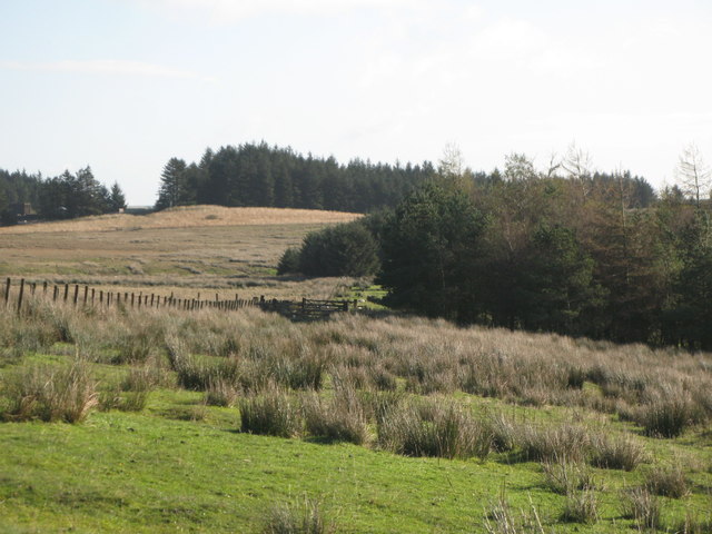
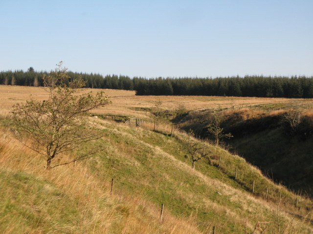
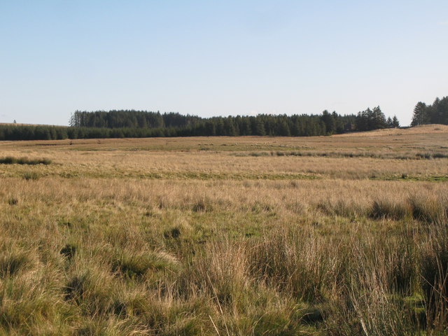
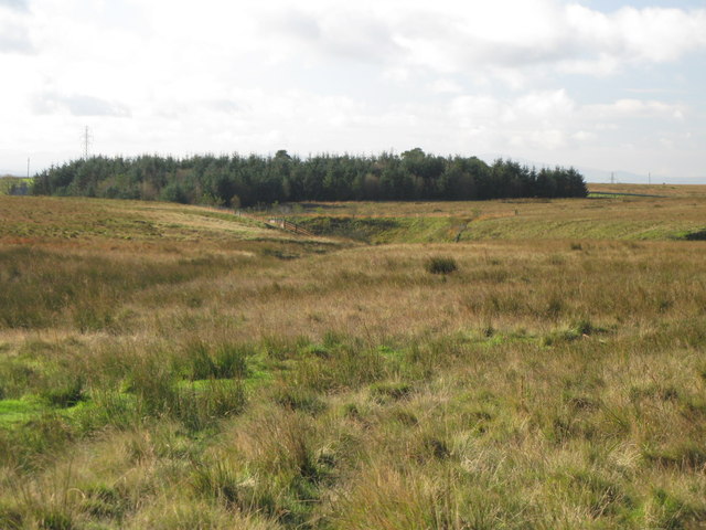
Despite its remote location, Middle Shield Green benefits from being surrounded by natural beauty. The Moorland offers ample opportunities for outdoor activities such as hiking, birdwatching, and horse riding. The landscape is dotted with heather-covered hills, peat bogs, and streams, creating a diverse habitat for flora and fauna.
The hamlet is well-connected to the neighboring towns and villages through a network of country roads. The nearest town, Cumberland, is a short drive away and provides essential amenities such as schools, healthcare facilities, and shops.
Middle Shield Green is a place where tradition and nature coexist harmoniously. Its peaceful setting, breathtaking scenery, and strong sense of community make it an ideal retreat for those seeking a rural lifestyle away from the hustle and bustle of city life.
If you have any feedback on the listing, please let us know in the comments section below.
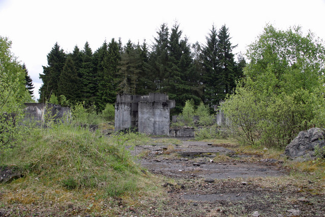
Middle Shield Green Images
Images are sourced within 2km of 55.026343/-2.5985484 or Grid Reference NY6170. Thanks to Geograph Open Source API. All images are credited.


Middle Shield Green is located at Grid Ref: NY6170 (Lat: 55.026343, Lng: -2.5985484)
Administrative County: Cumbria
District: Carlisle
Police Authority: Cumbria
What 3 Words
///bookings.boosted.drill. Near Greenhead, Northumberland
Nearby Locations
Related Wikis

RAF Spadeadam
RAF Spadeadam (pronounced "Spade Adam") (IATA: N/A, ICAO: EGOM) is a Royal Air Force (RAF) station in Cumbria, England, close to the border with Northumberland...

Popping Stone
The Popping Stone is a group of three rounded boulders in the Irthing Gorge near the village of Gilsland. It was not always this shape, however, and photographs...

Gilsland Spa
Gilsland Spa is the present-day name of a hotel at Gilsland, Cumbria, England. It is named from the sulphurous spring which issues from a cliff below...

St Mary Magdalene's Church, Gilsland
St Mary Magdalene’s Church is a small mid-Victorian Anglican church on an isolated hillside in north-east Cumbria, England. Dedicated to Jesus' companion...

Kingwater
Kingwater is a civil parish in City of Carlisle district, Cumbria, England. At the 2011 census it had a population of 170.The parish is bordered to the...

Limes (Roman Empire)
Līmes (Latin, singular; plural: līmitēs) is a modern term used primarily for the Germanic border defence or delimiting system of Ancient Rome marking the...

Milecastle 49
Milecastle 49 (Harrows Scar) was a milecastle on Hadrian's Wall (grid reference NY6202866407). == Description == Milecastle 49 is immediately west of the...

Birdoswald
Birdoswald is a former farm in the civil parish of Waterhead in the English county of Cumberland. It stands on the site of the Roman fort of Banna. �...
Nearby Amenities
Located within 500m of 55.026343,-2.5985484Have you been to Middle Shield Green?
Leave your review of Middle Shield Green below (or comments, questions and feedback).