Hamperden End
Settlement in Essex Uttlesford
England
Hamperden End

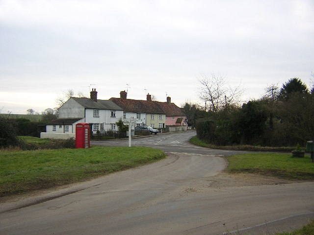
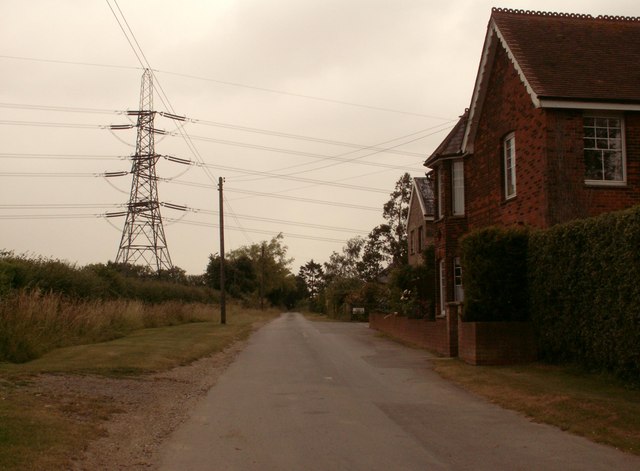
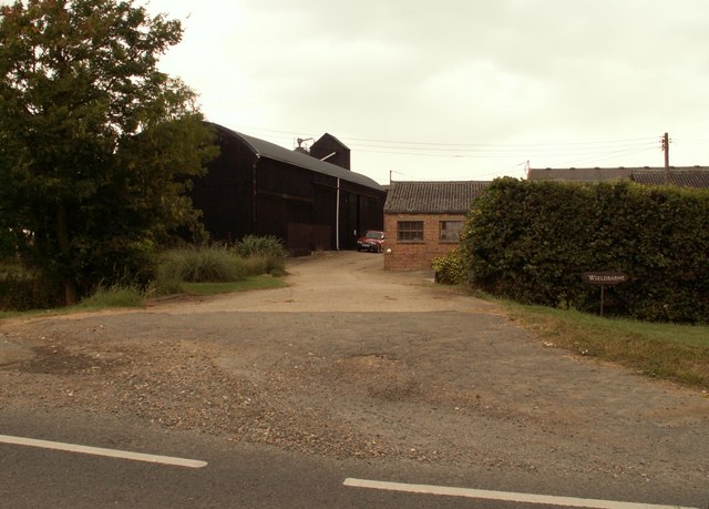
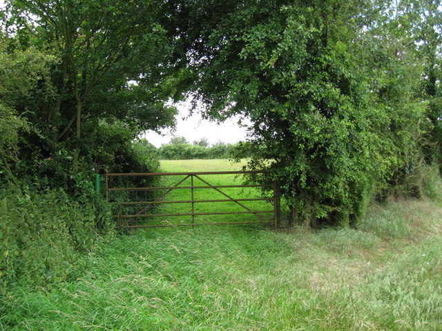
Hamperden End is a small village located in the county of Essex, England. Situated in the southeastern part of the county, it lies approximately 10 miles northeast of the city of Chelmsford. The village is nestled amidst picturesque countryside, surrounded by rolling hills and lush green fields.
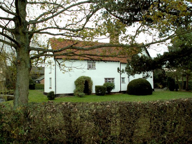
With a population of around 300 residents, Hamperden End exudes a tranquil and close-knit atmosphere. The village is characterized by its charming cottages, many of which date back several centuries, showcasing traditional English architecture. The village center features a small but well-maintained green area, providing a focal point for community gatherings and events.
Despite its small size, Hamperden End boasts a strong sense of community spirit. The villagers actively engage in various activities and initiatives to foster a sense of togetherness. The local village hall serves as a hub for social gatherings, meetings, and events, while the nearby church acts as a focal point for religious ceremonies and community celebrations.
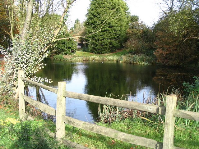
Surrounded by natural beauty, Hamperden End offers ample opportunities for outdoor activities. The village is within close proximity to several scenic walking and cycling trails, offering residents and visitors the chance to explore the stunning Essex countryside. Additionally, the nearby River Chelmer provides opportunities for boating and fishing enthusiasts.
Hamperden End is well-connected to neighboring towns and cities by a network of roads, making it easily accessible for commuters. Although lacking in major amenities, the village benefits from its close proximity to larger towns, which offer a wider range of services and facilities.
In summary, Hamperden End is a charming and idyllic village in Essex, offering a peaceful retreat from the hustle and bustle of city life. With its strong sense of community, picturesque surroundings, and easy access to nearby amenities, it is a desirable place to live for those seeking a tranquil rural lifestyle.
If you have any feedback on the listing, please let us know in the comments section below.
Hamperden End Images
Images are sourced within 2km of 51.953373/0.289095 or Grid Reference TL5730. Thanks to Geograph Open Source API. All images are credited.


Hamperden End is located at Grid Ref: TL5730 (Lat: 51.953373, Lng: 0.289095)
Administrative County: Essex
District: Uttlesford
Police Authority: Essex
What 3 Words
///atom.producers.stalemate. Near Thaxted, Essex
Nearby Locations
Related Wikis
Hamperden End
Hamperden End is a hamlet in the civil parish of Debden, in the Uttlesford district, in the county of Essex, England. Debden Green is north east and Widdington...

Elsenham & Thaxted Light Railway
The Elsenham & Thaxted Light Railway was a 5+1⁄2-mile (9 km) long light railway in Essex, England. The line was sanctioned in 1906, although did not finally...
Cherry Green, Essex
Cherry Green or Chaureth Green is a hamlet in the civil parish of Broxted and the Uttlesford district of Essex, England. The hamlet is 1.5 miles (2.4 km...

Sibleys railway station
Sibleys railway station was a station in Sibleys Green, in the civil parish of Chickney, Essex. It was located 2 miles 78 chains (4.79 km) from Elsenham...

Debden Green
Debden Green is a hamlet in the civil parish of Debden, in the Uttlesford district of Essex, England and 2 miles (3 km) west from the town of Thaxted....
Cutlers Green Halt railway station
Cutlers Green Halt railway station was a station serving the hamlet of Cutlers Green, Essex. It was located 4 miles 52 chains (7.48 km) from Elsenham station...

Horham Hall
Horham Hall may refer to the timber-framed late mediaeval hall in Thaxted, England, or to the brick hall built in its place by Sir John Cutte (died 1520...
Cutlers Green
Cutlers Green is a hamlet in the civil parish of Thaxted, and the Uttlesford district of Essex, England. The hamlet is 1 mile (1.6 km) west from the town...
Nearby Amenities
Located within 500m of 51.953373,0.289095Have you been to Hamperden End?
Leave your review of Hamperden End below (or comments, questions and feedback).