Moor Meadow

Downs, Moorland in Herefordshire

England

Moor Meadow

Hamilton Stiller, Ross-on-Wye A recent addition to the agents in town. This was, up to a few years ago, Mervyn James outfitters, see <a href="https://www.geograph.org.uk/photo/4805977">SO5924 : Mervyn James, Ross-on-Wye</a>.
Hamilton Stiller, Ross-on-Wye Credit: Jonathan Billinger

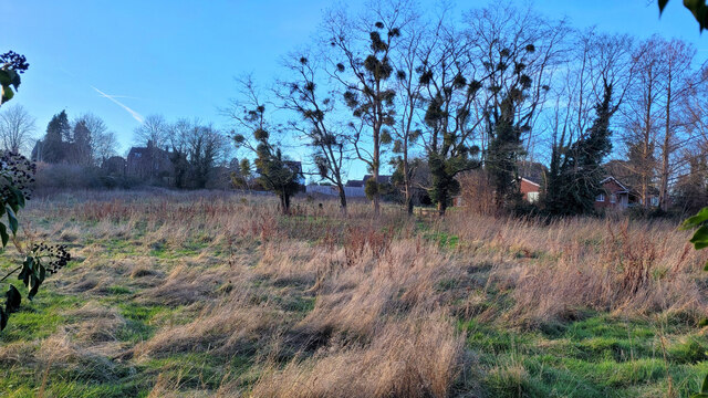
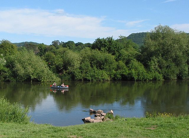
Moor Meadow is a picturesque area located in Herefordshire, England. Situated on the Downs, it is characterized by its vast stretches of moorland, offering a unique and breathtaking landscape. The meadow is renowned for its natural beauty, attracting visitors from far and wide.

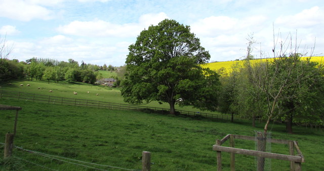
Covered in heather, gorse, and grasses, Moor Meadow creates a vibrant and colorful scene throughout the year. In the spring and summer months, the meadow bursts with an array of wildflowers, creating a tapestry of vibrant hues. This attracts a variety of wildlife, including butterflies, bees, and birds, making it a haven for nature enthusiasts and birdwatchers.

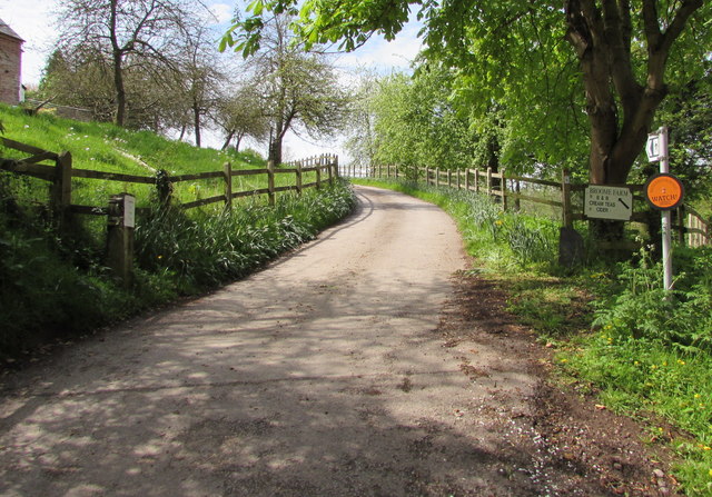
The undulating terrain of Moor Meadow is interspersed with small streams and ponds, adding to its charm. The area is crisscrossed with walking trails, allowing visitors to explore the meadow and take in its stunning views. The surrounding hills provide a dramatic backdrop, adding to the overall allure of the landscape.

Moor Meadow is also of historical significance, with evidence of ancient settlements and burial mounds scattered throughout the area. Archaeologists have discovered artifacts dating back centuries, shedding light on the region's rich cultural heritage.

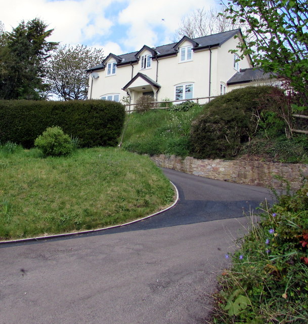
Visitors to Moor Meadow can immerse themselves in the tranquility of the countryside, enjoying peaceful walks, picnics, or simply soaking in the natural beauty. The meadow offers a serene escape from the hustle and bustle of everyday life, inviting individuals to connect with nature and experience the wonders of Herefordshire's Downs and moorland.

If you have any feedback on the listing, please let us know in the comments section below.
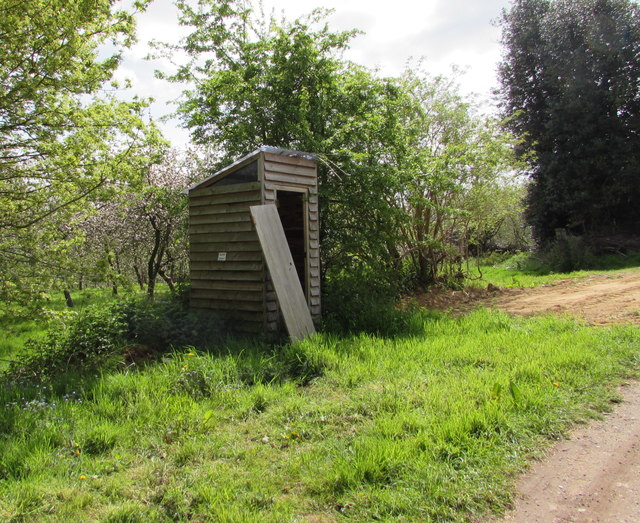
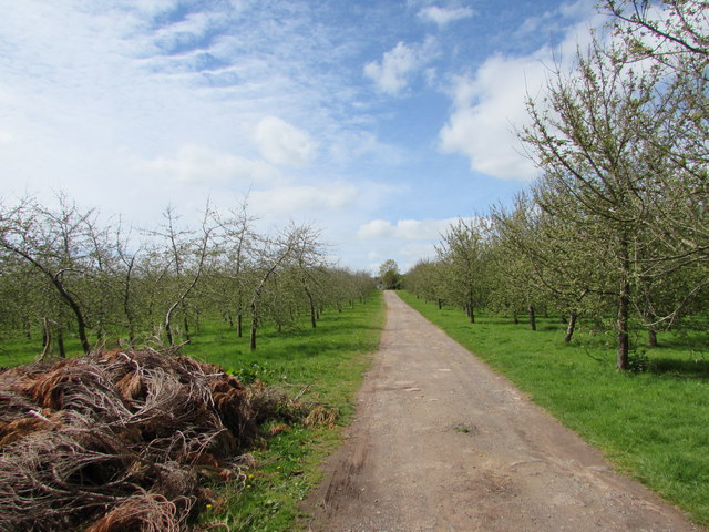
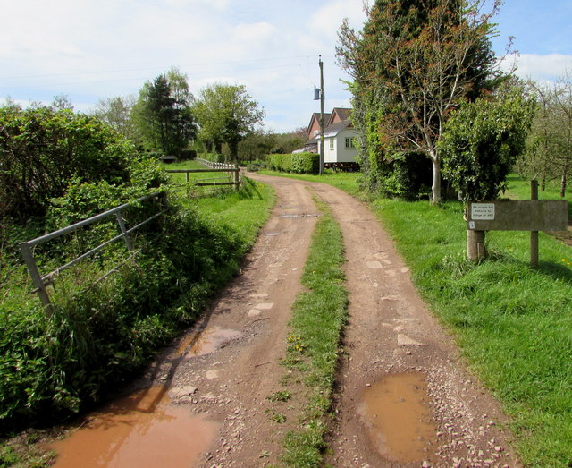
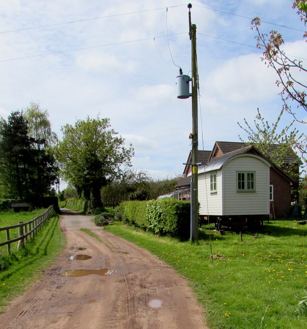
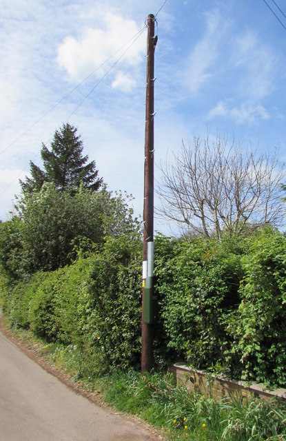
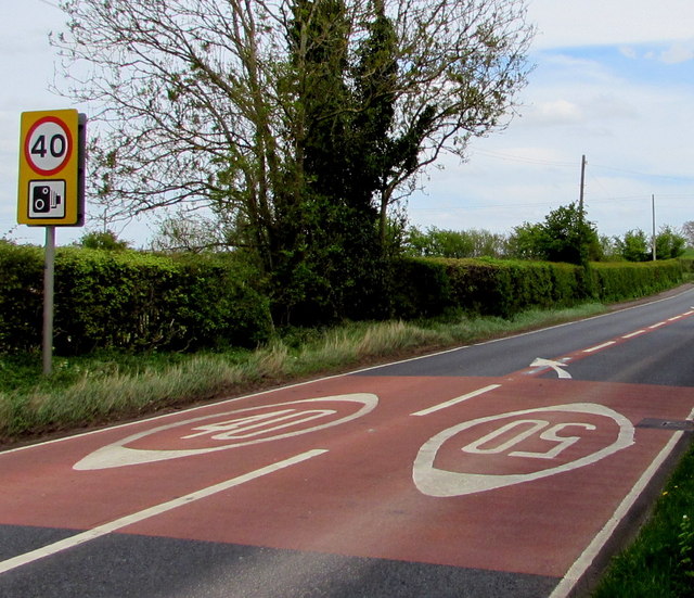
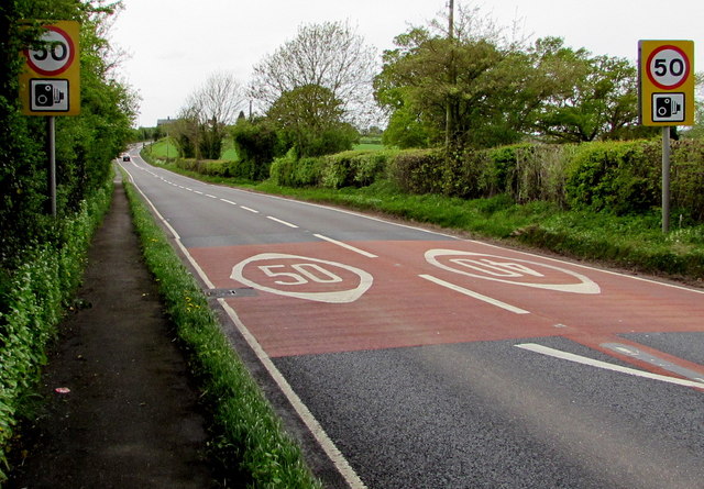
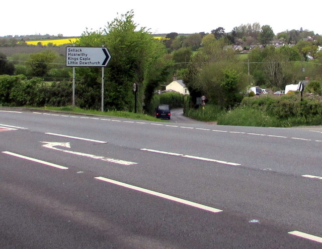
Moor Meadow Images

Images are sourced within 2km of 51.909781/-2.6086449 or Grid Reference SO5823. Thanks to Geograph Open Source API. All images are credited.

Hamilton Stiller, Ross-on-Wye A recent addition to the agents in town. This was, up to a few years ago, Mervyn James outfitters, see <a href="https://www.geograph.org.uk/photo/4805977">SO5924 : Mervyn James, Ross-on-Wye</a>.
Hamilton Stiller, Ross-on-Wye
A recent addition to the agents in town. This was, up to a few years ago, Mervyn James outfitters, see SO5924 : Mervyn James, Ross-on-Wye.
Three businesses on Gloucester Road Compare with <a href="https://www.geograph.org.uk/photo/624372">SO6024 : Shops in Gloucester Road, Ross-on-Wye</a> taken in 2007, the burger shop has been renamed and the ex-job centre split into two businesses; a care agency and a betting shop.
Three businesses on Gloucester Road
Compare with SO6024 : Shops in Gloucester Road, Ross-on-Wye taken in 2007, the burger shop has been renamed and the ex-job centre split into two businesses; a care agency and a betting shop.
Overgrown grassy field This small piece of land has got permission for housing development.
Overgrown grassy field
This small piece of land has got permission for housing development.
House in Buckcastle Hill, Bridstow Rural Herefordshire west of Ross-on-Wye.
House in Buckcastle Hill, Bridstow
Rural Herefordshire west of Ross-on-Wye.
This way for Broome Farm near Peterstow The black arrow on a sign points towards Broome Farm B&B, cream teas and cider.
The black-edged orange sign shows that this is a Neighbourhood Watch area.
This way for Broome Farm near Peterstow
The black arrow on a sign points towards Broome Farm B&B, cream teas and cider. The black-edged orange sign shows that this is a Neighbourhood Watch area.
Oak near Broome Farm, Peterstow Rural Herefordshire west of Ross-on-Wye.
Oak near Broome Farm, Peterstow
Rural Herefordshire west of Ross-on-Wye.
Basic facility alongside the Peterstow-Bridstow Loop Earth closet toilet on a part of the Peterstow-Bridstow 
Loop walk, here through Herefordshire cider orchards.
Basic facility alongside the Peterstow-Bridstow Loop
Earth closet toilet on a part of the Peterstow-Bridstow Loop walk, here through Herefordshire cider orchards.
Path through cider orchards, Peterstow Part of the Peterstow-Bridstow Loop walk.
Path through cider orchards, Peterstow
Part of the Peterstow-Bridstow Loop walk.
Track towards The New Road, Peterstow This is part of the Peterstow-Bridstow Loop walk, here towards The New Road which leads to the A49. 
Out of shot 100 metres to the right is Old Lane.
Track towards The New Road, Peterstow
This is part of the Peterstow-Bridstow Loop walk, here towards The New Road which leads to the A49. Out of shot 100 metres to the right is Old Lane.
The New Road, Peterstow Part of the Peterstow-Bridstow Loop walk, here along The New Road which leads to the A49 in Peterstow.
The New Road, Peterstow
Part of the Peterstow-Bridstow Loop walk, here along The New Road which leads to the A49 in Peterstow.
Overhead fibre drop, Peterstow A small BT label on the New Road pole shows CAUTION OVERHEAD FIBRE DROP 
which indicates that this rural area has (or is about to have) access
to BT's fibre optic broadband service, unlike many other rural parts
of the UK where in 2015 there is no such access.
Overhead fibre drop, Peterstow
A small BT label on the New Road pole shows CAUTION OVERHEAD FIBRE DROP which indicates that this rural area has (or is about to have) access to BT's fibre optic broadband service, unlike many other rural parts of the UK where in 2015 there is no such access.
From 50 to 40 on the A49 near Bridstow The 50mph speed limit on the road from Peterstow drops to 40mph 
on the approach to Bridstow in rural Herefordshire near Ross-on-Wye.
From 50 to 40 on the A49 near Bridstow
The 50mph speed limit on the road from Peterstow drops to 40mph on the approach to Bridstow in rural Herefordshire near Ross-on-Wye.
From 40 to 50 on the A49 towards Peterstow The 40mph speed limit on the road from Bridstow increases 
to 50mph towards Peterstow in rural Herefordshire near Ross-on-Wye.
From 40 to 50 on the A49 towards Peterstow
The 40mph speed limit on the road from Bridstow increases to 50mph towards Peterstow in rural Herefordshire near Ross-on-Wye.
Junction of the A49 and a minor road, Bridstow The minor road to Sellack, Hoarwithy, Kings Caple and Little Dewchurch descends from the A49.
Junction of the A49 and a minor road, Bridstow
The minor road to Sellack, Hoarwithy, Kings Caple and Little Dewchurch descends from the A49.
Bridstow bus shelter On the north side of the A49 in rural Herefordshire near Ross-on-Wye.
Bridstow bus shelter
On the north side of the A49 in rural Herefordshire near Ross-on-Wye.
Minor road junction ahead, Bridstow Ahead on the A49 for Hereford or turn right for Sellack, Hoarwithy, Kings Caple and Little Dewchurch.
Minor road junction ahead, Bridstow
Ahead on the A49 for Hereford or turn right for Sellack, Hoarwithy, Kings Caple and Little Dewchurch.
Warning - school and minor road junctions ahead, Bridstow On the north side of the A49 on the western approach to Bridstow School.
Warning - school and minor road junctions ahead, Bridstow
On the north side of the A49 on the western approach to Bridstow School.
Direction sign, Bridstow Stay on the A49 for Ross-on-Wye, historic market town, or turn left ahead for Backney Bridge (2 miles).
Direction sign, Bridstow
Stay on the A49 for Ross-on-Wye, historic market town, or turn left ahead for Backney Bridge (2 miles).
Show me another place!

Moor Meadow is located at Grid Ref: SO5823 (Lat: 51.909781, Lng: -2.6086449)

Unitary Authority: County of Herefordshire

Police Authority: West Mercia

What 3 Words

///linguists.dorm.clever. Near Walford, Herefordshire

Nearby Locations

Moor Meadow

Related Wikis

Wilton, Herefordshire

Wilton is a village in south Herefordshire, England just under a mile west of the market town of Ross-on-Wye. In 1100, Henry I set up three royal manors...

Ross Town F.C.

Ross Town F.C. was a football club based in Ross-on-Wye, Herefordshire, England. The club was formed in the summer of 1993 following the amalgamation of...
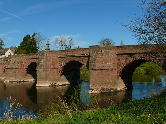
Wilton Bridge

Wilton Bridge is a Grade I listed bridge crossing the River Wye between Wilton, Herefordshire and Ross-on-Wye, Herefordshire, England. == History == The...

Wilton Castle

Wilton Castle is a 12th-century Norman castle located in south-eastern Herefordshire, England on the River Wye adjacent to the town of Ross-on-Wye. The...

Nearby Amenities

Located within 500m of 51.909781,-2.6086449
Post Box
Post Box Type: lamp
Royal Cypher: EIIR
Royal Cypher Wikidata: Q33102113
Lat/Long: 51.9069002/-2.6041827
Parking
Parking: layby
Lat/Long: 51.9134715/-2.6092853
Parking
Parking: layby
Source: Bing
Lat/Long: 51.9133871/-2.6087864
Ford: yes
Lat/Long: 51.9085878/-2.6144722
Gosbrook Farm
Power: pole
Transformer: distribution
Voltage Primary: 11000
Lat/Long: 51.9123564/-2.6138395
Wilton Sewerage
Power: pole
Transformer: distribution
Voltage Primary: 11000
Lat/Long: 51.9122178/-2.6065379
Power: pole
Lat/Long: 51.9122877/-2.6058291
Power: pole
Lat/Long: 51.9125491/-2.604956
Power: pole
Lat/Long: 51.913158/-2.6043874
Power: pole
Lat/Long: 51.9059366/-2.6066619
Power: pole
Lat/Long: 51.9057112/-2.6072386
Power: pole
Lat/Long: 51.9062254/-2.6059277
Power: pole
Lat/Long: 51.906599/-2.6039227
Ross Sewage Works
Power: pole
Transformer: distribution
Voltage Primary: 11000
Lat/Long: 51.906824/-2.6049507
Power: pole
Lat/Long: 51.9066573/-2.6047381
Power: pole
Lat/Long: 51.907186/-2.6054496
Power: pole
Lat/Long: 51.9076882/-2.6059478
Power: pole
Lat/Long: 51.908056/-2.6050103
Power: pole
Lat/Long: 51.9085271/-2.6038288
Power: pole
Lat/Long: 51.9090165/-2.6025836
The data included in this document is from www.openstreetmap.org. The data is made available under ODbL.

Have you been to Moor Meadow?

Leave your review of Moor Meadow below (or comments, questions and feedback).