Halton Moss
Downs, Moorland in Cheshire
England
Halton Moss

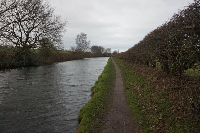
Halton Moss is a region located in the county of Cheshire, England. It is known for its diverse landscape consisting of downs and moorland. The area is characterized by its flat terrain, which is predominantly covered in marshes and low-lying grasslands.
The mossland in Halton Moss is a unique feature of the region. It is formed by a combination of wetlands, peat bogs, and open water bodies. These mosses are home to a variety of plant and animal species that are adapted to the wet and acidic conditions. Rare plants like sphagnum moss, bog rosemary, and cotton grass can be found in abundance here.
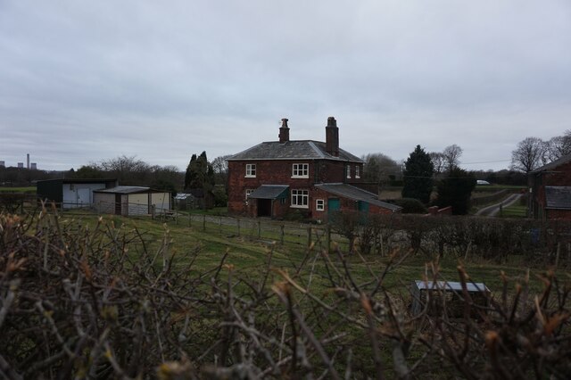
The downs in Halton Moss are gentle slopes that provide panoramic views of the surrounding countryside. These grassy uplands are home to a diverse range of bird species, making it a popular destination for birdwatchers. Skylarks, lapwings, and curlews can often be spotted in the area, among many others.
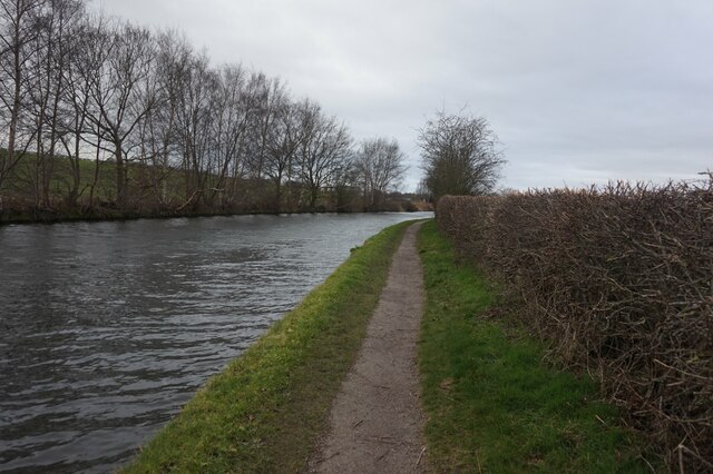
Moorland, another feature of Halton Moss, is characterized by expanses of heather, gorse, and bracken. This habitat supports a variety of wildlife, including red grouse, rabbits, and foxes. Visitors can enjoy walking or hiking through the moorland, taking in the rugged beauty of the landscape.
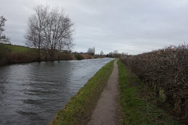
Overall, Halton Moss in Cheshire offers a unique blend of downs, marshes, and moorland, creating a rich and diverse environment for both flora and fauna. Whether exploring the wetlands, admiring the panoramic views from the downs, or venturing into the moorland, visitors to Halton Moss are sure to be captivated by its natural beauty.
If you have any feedback on the listing, please let us know in the comments section below.
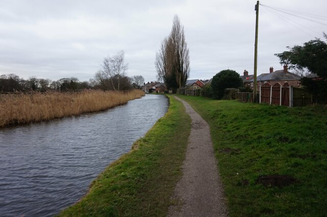
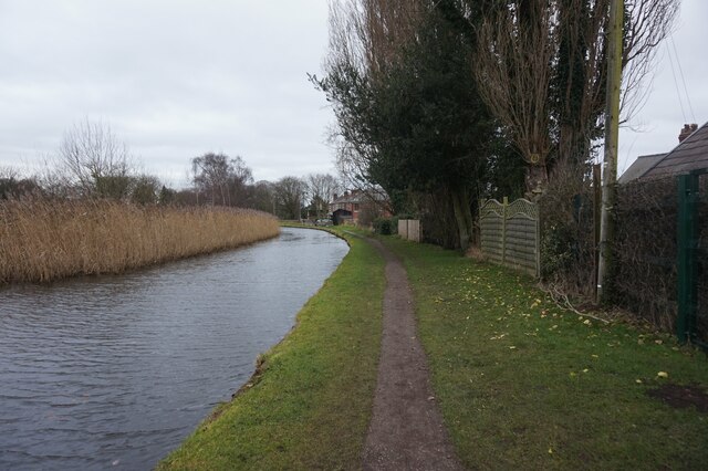
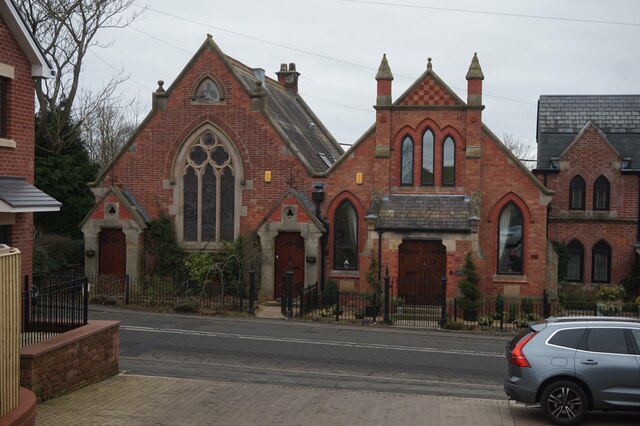
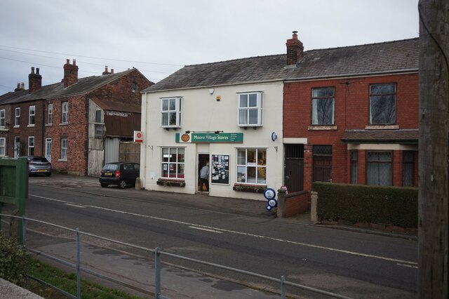
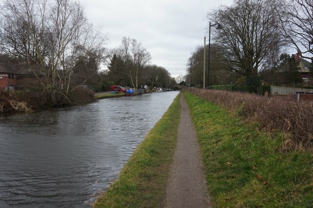
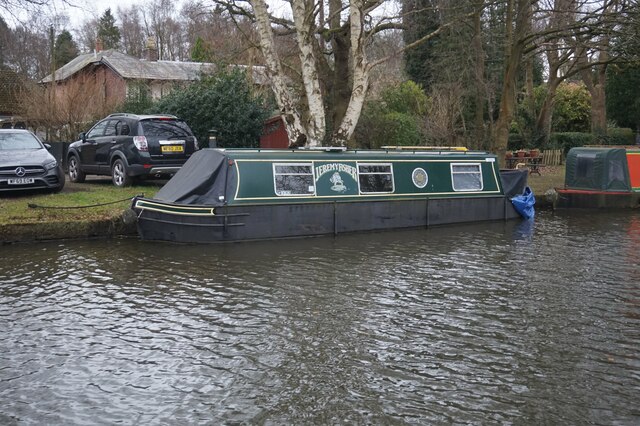
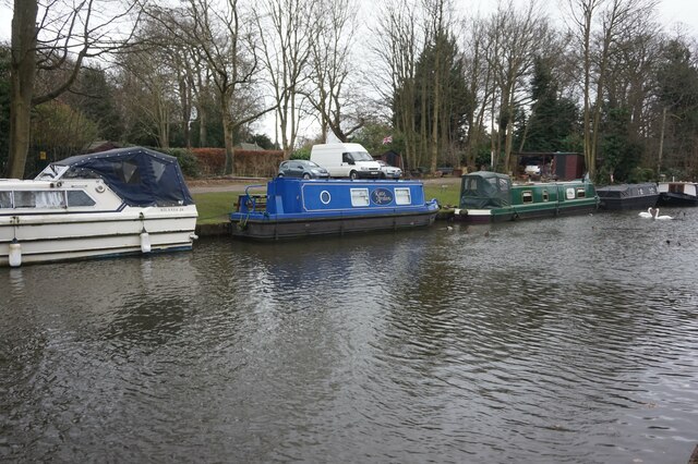
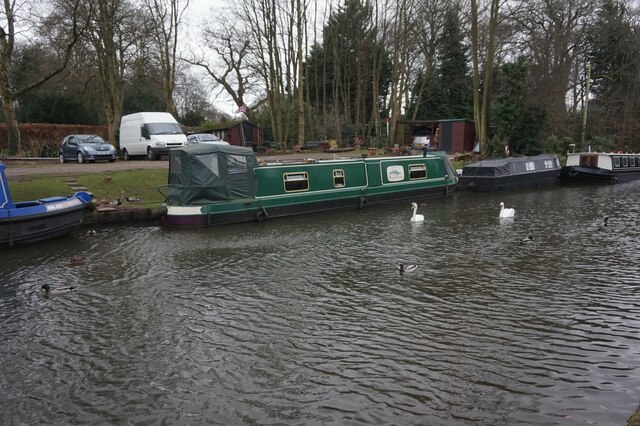
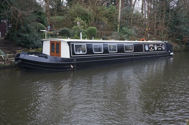
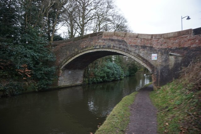
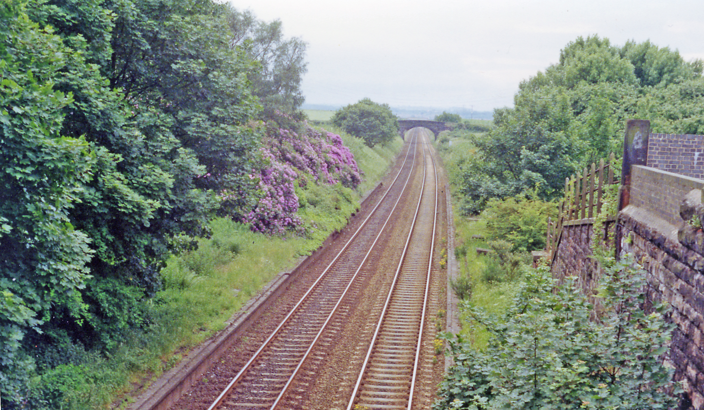
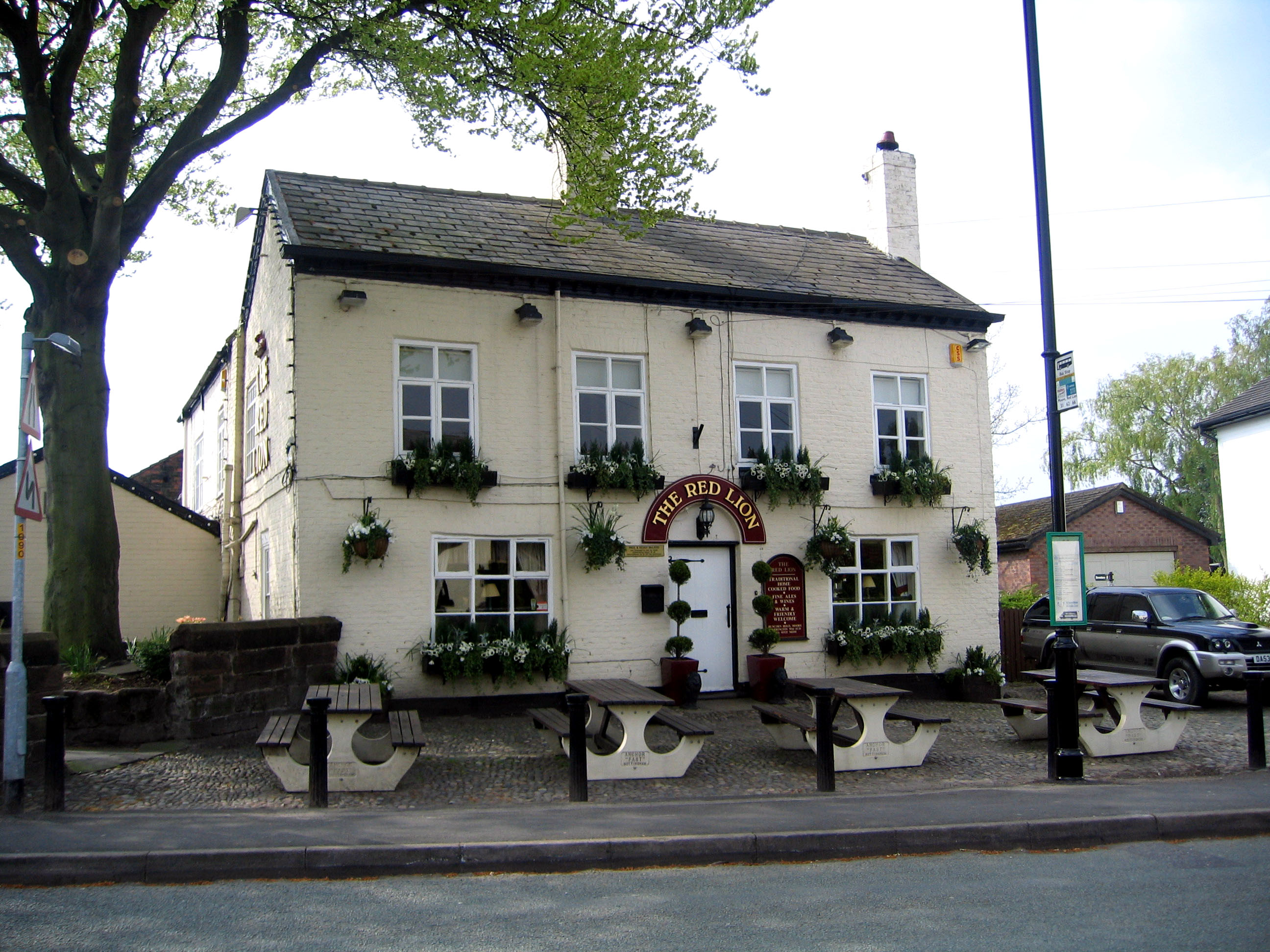
Halton Moss Images
Images are sourced within 2km of 53.357088/-2.6457837 or Grid Reference SJ5784. Thanks to Geograph Open Source API. All images are credited.


Halton Moss is located at Grid Ref: SJ5784 (Lat: 53.357088, Lng: -2.6457837)
Unitary Authority: Halton
Police Authority: Cheshire
What 3 Words
///exists.input.hails. Near Daresbury, Cheshire
Nearby Locations
Related Wikis

Moore railway station
Moore railway station was a station on the Grand Junction Railway, serving Runcorn in North-West England. It opened in 1837,: 61 closing to passengers...
Daresbury railway station
Daresbury railway station was a station in Moore, Cheshire, on the Birkenhead Joint Railway between Runcorn and Warrington. It was named after the village...
Moore, Cheshire
Moore is a village and civil parish in the Borough of Halton, Cheshire, England, located midway between Runcorn and Warrington. At the 2011 census, it...
Moore Hall, Cheshire
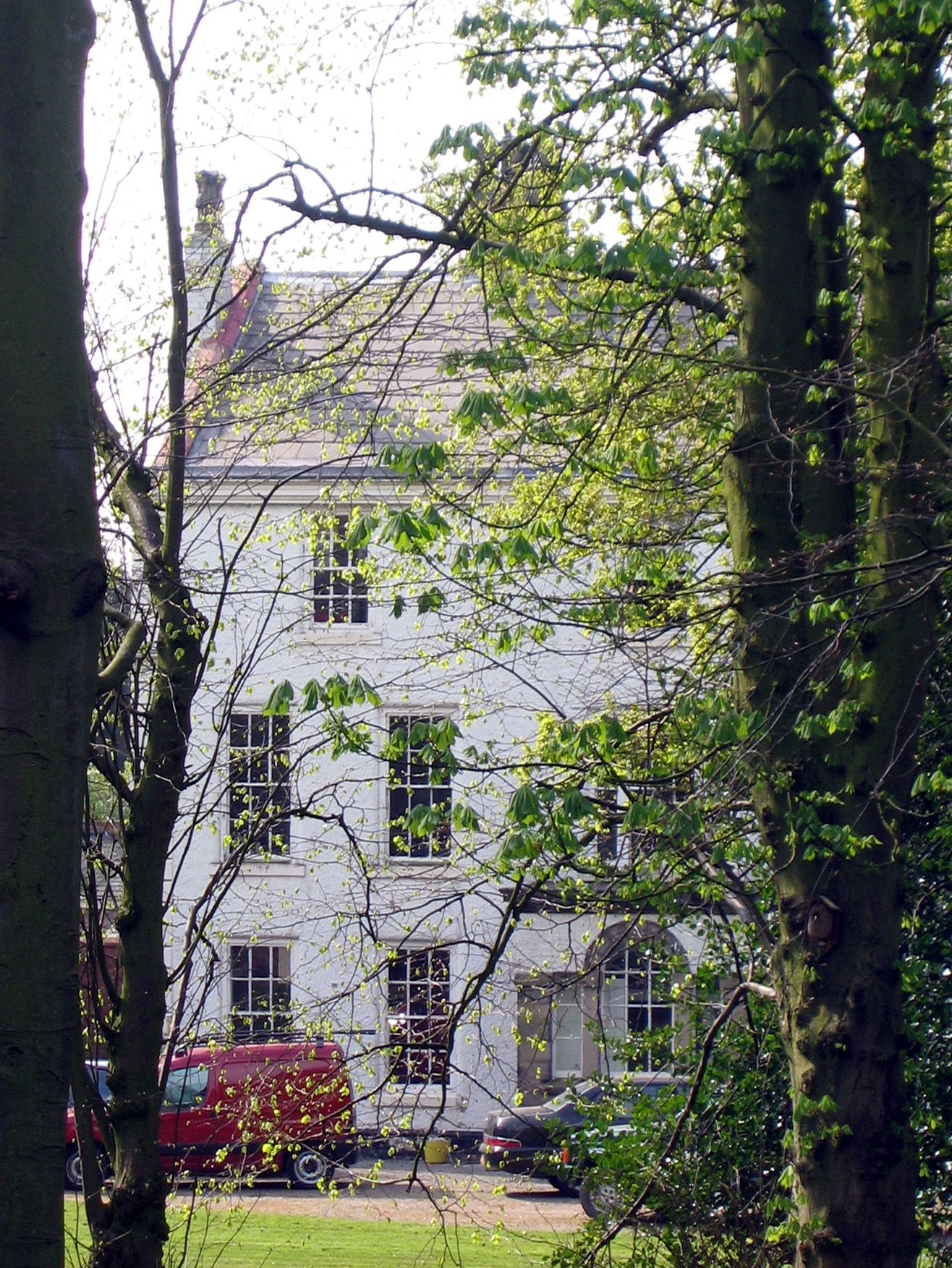
Moore Hall is a country house located in the village of Moore, Cheshire, England. It was built in the early 18th century, and is constructed in roughcast...

Keckwick
Keckwick is an area in the Borough of Halton in Cheshire. Although there is no village as such, numerous toponyms attest to a particular identity in the...
Warrington rail crash
The Warrington rail crash occurred at Walton Junction just south of the town of Warrington in Lancashire on 29 June 1867. The collision involved a passenger...
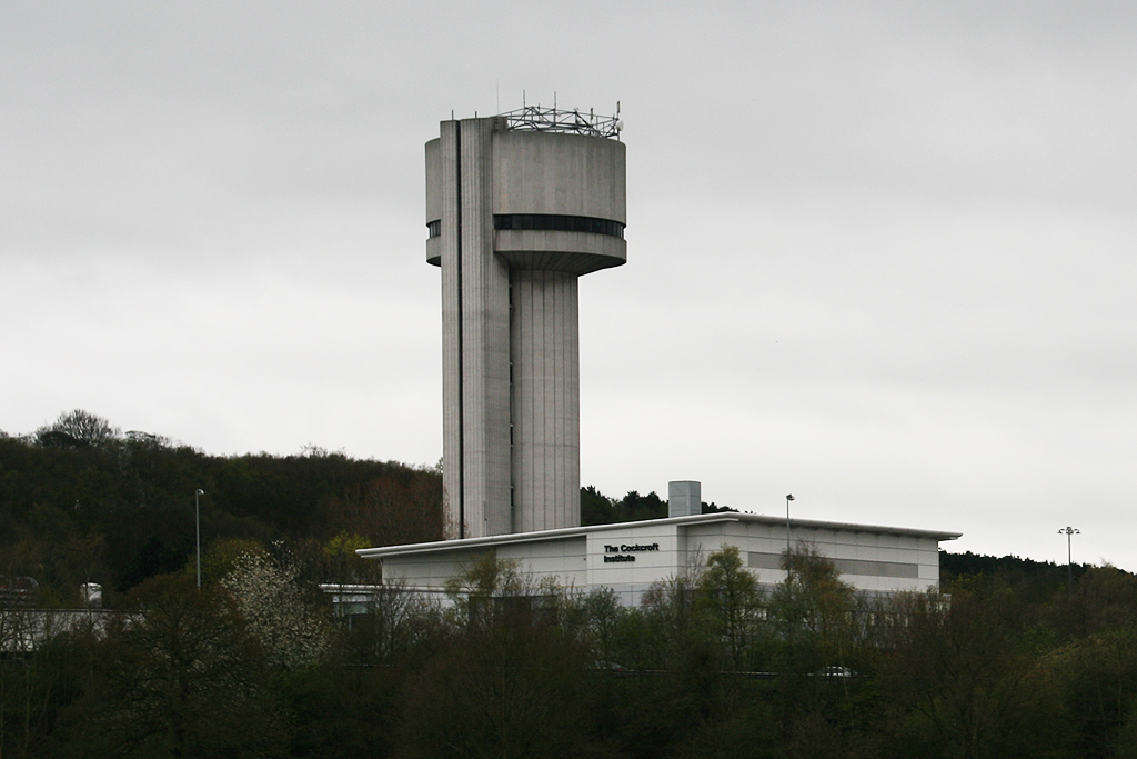
Cockcroft Institute
The Cockcroft Institute is an international centre for Accelerator Science and Technology (AST) in the UK. It was proposed in September 2003 and officially...
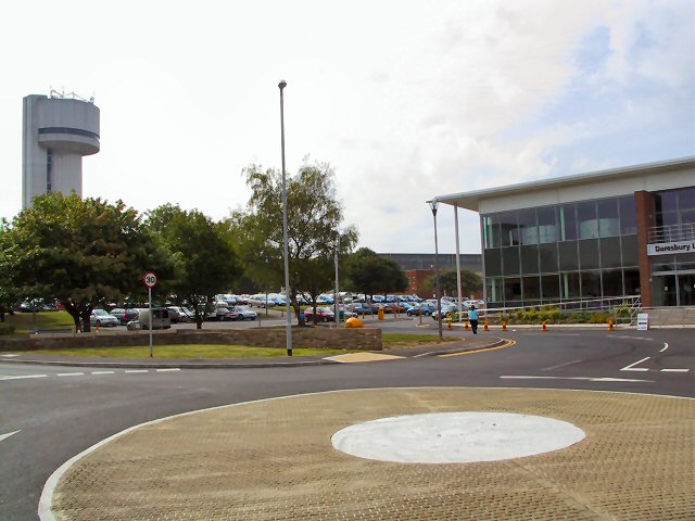
Hartree Centre
The Hartree Centre is a high performance computing, data analytics and artificial intelligence (AI) research facility focused on industry-led challenges...
Nearby Amenities
Located within 500m of 53.357088,-2.6457837Have you been to Halton Moss?
Leave your review of Halton Moss below (or comments, questions and feedback).