Blawith Moss

Downs, Moorland in Westmorland South Lakeland

England

Blawith Moss

Footbridge near Strawberry bank Carries the Public Footpath which links Strawberry Bank and Ashes Farm
Footbridge near Strawberry bank Credit: Michael Graham

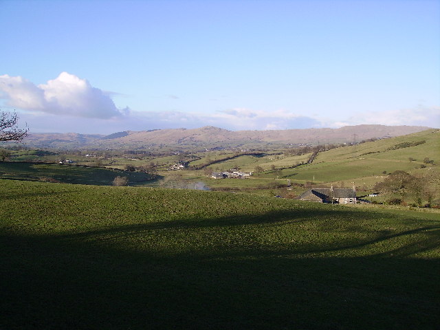
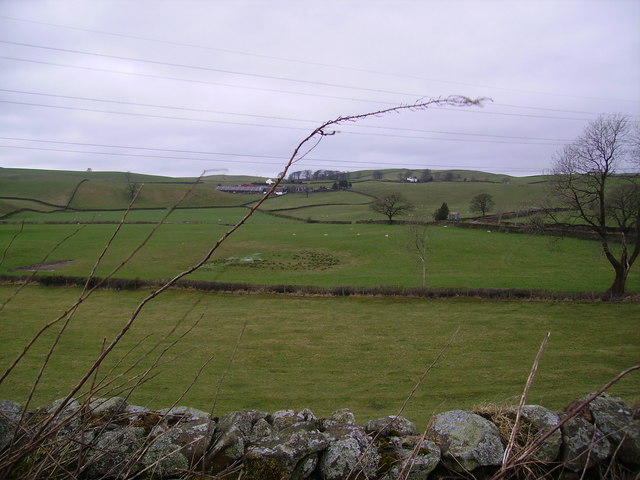
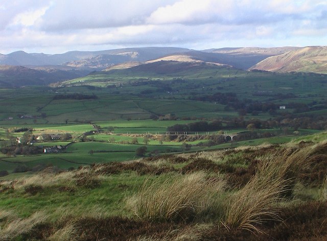
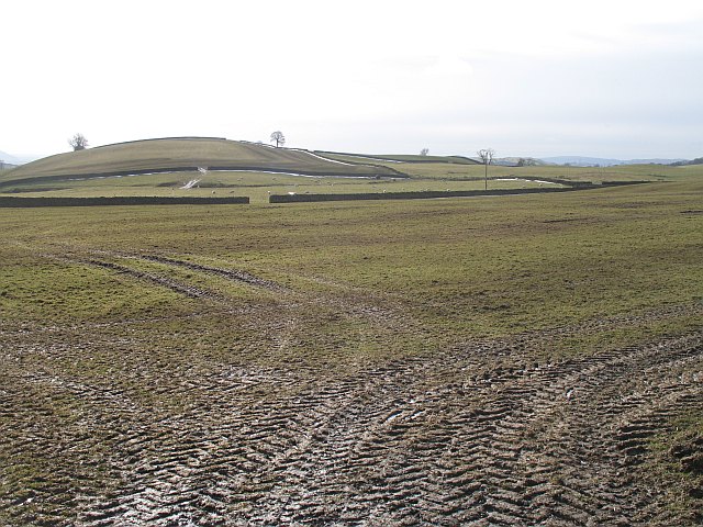
Blawith Moss is a picturesque area located in the county of Westmorland, England. Situated in the heart of the Lake District National Park, it is known for its stunning landscapes, encompassing both downs and moorland.

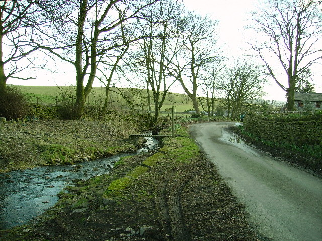
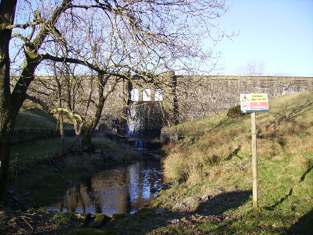
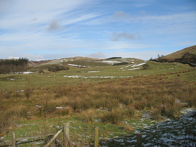
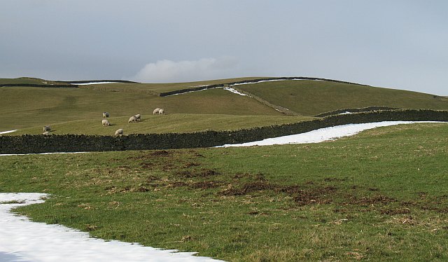
The moss itself is a large expanse of wetland, characterized by its unique flora and fauna. It is home to a variety of plant species, including cotton grass, heather, and sphagnum moss, which thrive in the damp conditions. This diverse ecosystem attracts a wide range of wildlife, including birds such as curlews, lapwings, and red grouse.

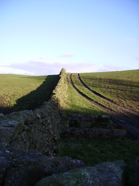
The area is a popular destination for outdoor enthusiasts and nature lovers, offering numerous opportunities for hiking, birdwatching, and photography. Blawith Moss is crisscrossed by a network of footpaths and trails, allowing visitors to explore its beauty at their own pace.

The surrounding countryside is equally breathtaking, with rolling hills and expansive vistas. The nearby Coniston Water, one of the largest lakes in the region, adds to the area's charm and provides additional recreational activities such as boating and fishing.

Blawith Moss offers a peaceful and tranquil escape from the hustle and bustle of everyday life. Its unspoiled beauty and natural wonders make it a must-visit destination for anyone seeking to immerse themselves in the stunning landscapes of the Lake District National Park.

If you have any feedback on the listing, please let us know in the comments section below.
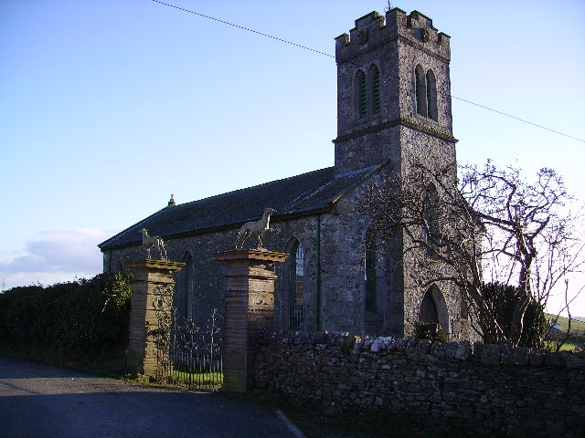
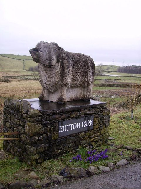
Blawith Moss Images

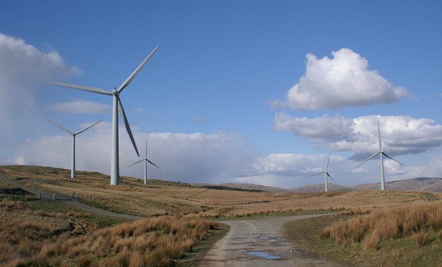
Images are sourced within 2km of 54.328743/-2.6783707 or Grid Reference SD5592. Thanks to Geograph Open Source API. All images are credited.

Footbridge near Strawberry bank Carries the Public Footpath which links Strawberry Bank and Ashes Farm
Footbridge near Strawberry bank
Carries the Public Footpath which links Strawberry Bank and Ashes Farm
Country Road Near New Hutton on the road to Birks Farm. Lots of snowdrops on the roadsides some by the base of the tree.
Country Road
Near New Hutton on the road to Birks Farm. Lots of snowdrops on the roadsides some by the base of the tree.
Looking towards Whinfell Common From the road above Low House which is just in shot.
Looking towards Whinfell Common
From the road above Low House which is just in shot.
Wall Near Crag Farm From the road just past the Farm heading for Woodside
Wall Near Crag Farm
From the road just past the Farm heading for Woodside
Weir Fisher Tarn No swimming
Weir Fisher Tarn
No swimming
Church New Hutton Greyhounds on the gateposts
Church New Hutton
Greyhounds on the gateposts
Hutton Park Great sculpture at the gateway to Hutton Park on the road into kendal near New Hutton
Hutton Park
Great sculpture at the gateway to Hutton Park on the road into kendal near New Hutton
Farmland Green Bank Looking towards Rawhead Farm
Farmland Green Bank
Looking towards Rawhead Farm
Benson Knott Looking up towards Benson Knott from the road near Laverock Bridge
Benson Knott
Looking up towards Benson Knott from the road near Laverock Bridge
Farm Docker Fell Colour coordinated muck spreading.
Farm Docker Fell
Colour coordinated muck spreading.
Track over Docker Fell This is the starting point at Haygarth
Track over Docker Fell
This is the starting point at Haygarth
Docker Fell View from the summit of Docker Fell looking North West. The West Coast Main line can be seen in the valley.
Docker Fell
View from the summit of Docker Fell looking North West. The West Coast Main line can be seen in the valley.
View from Singleton Park looking SW towards the Kent Estuary
Wet pasture , Hutton Park A wet field, below the Sedbergh - Kendal road.
Wet pasture , Hutton Park
A wet field, below the Sedbergh - Kendal road.
Grazing sheep near Kendal Green fields and snow sheltered by dykes. View north of the Sedburgh - Kendal road, New Hutton.
Grazing sheep near Kendal
Green fields and snow sheltered by dykes. View north of the Sedburgh - Kendal road, New Hutton.
Farmland, New Hutton Tractor tyre marks in ground made wet by melting snow.
Farmland, New Hutton
Tractor tyre marks in ground made wet by melting snow.
Crossroads, New Hutton Kiln Road crosses the Sedbergh - Kendal road.
Crossroads, New Hutton
Kiln Road crosses the Sedbergh - Kendal road.
Parish notice board, New Hutton On the wall of a bus shelter.
Parish notice board, New Hutton
On the wall of a bus shelter.
Show me another place!

Blawith Moss is located at Grid Ref: SD5592 (Lat: 54.328743, Lng: -2.6783707)

Administrative County: Cumbria

District: South Lakeland

Police Authority: Cumbria

What 3 Words

///maximum.advances.bounding. Near Kendal, Cumbria

Related Wikis

Nearby Amenities

Located within 500m of 54.328743,-2.6783707
Bus Stop
Woodside
Naptan AtcoCode: 090079532890
Naptan Bearing: S
Naptan CommonName: Woodside
Naptan Indicator: o/s
Naptan Landmark: Woodside
Naptan NaptanCode: cumdmawg
Naptan Street: No name
Naptan Verified: no
Source: naptan_import
Lat/Long: 54.3252389/-2.6816722
Power: pole
Lat/Long: 54.3264521/-2.6831875
Power: pole
Lat/Long: 54.3269066/-2.68238
Power: pole
Lat/Long: 54.3272561/-2.6817277
Power: pole
Lat/Long: 54.3274021/-2.680342
Power: pole
Lat/Long: 54.3275707/-2.6789139
Power: pole
Lat/Long: 54.3277249/-2.6775599
Power: pole
Lat/Long: 54.3278668/-2.6760014
Power: pole
Lat/Long: 54.3280354/-2.6746015
Power: pole
Lat/Long: 54.3282061/-2.6729619
Power: pole
Lat/Long: 54.3283768/-2.6712694
Power: pole
Lat/Long: 54.3259251/-2.6840865
Power: pole
Lat/Long: 54.3248488/-2.6816817
Power: pole
Lat/Long: 54.3244552/-2.6800018
Power: pole
Lat/Long: 54.3247806/-2.6798331
Power: pole
Lat/Long: 54.3251441/-2.6796375
The data included in this document is from www.openstreetmap.org. The data is made available under ODbL.

Have you been to Blawith Moss?

Leave your review of Blawith Moss below (or comments, questions and feedback).