Plover Moss
Downs, Moorland in Lancashire Lancaster
England
Plover Moss
Plover Moss is a small village located in the county of Lancashire, England. Situated amongst the picturesque landscape of the Lancashire Downs and Moorland, the village is known for its natural beauty and tranquil atmosphere.
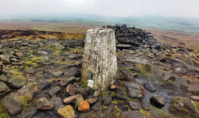
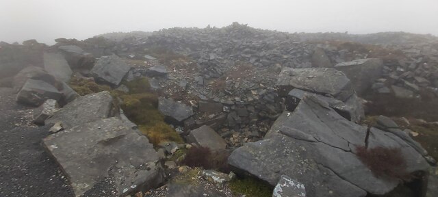
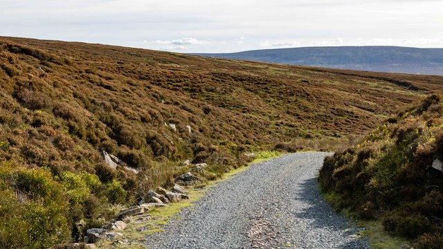
Surrounded by rolling hills and vast open spaces, Plover Moss offers a haven for nature lovers and outdoor enthusiasts. The area is characterized by its lush green fields, scattered with clusters of heather and moss, creating a stunning mosaic of colors throughout the year. The moorland, in particular, is a unique feature of the village, with its wide expanses of purple heather and scattered rocky outcrops.
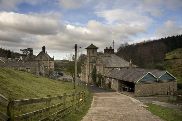
The village itself is quaint and charming, with traditional stone cottages lining the streets. Plover Moss has a close-knit community, with friendly locals who take pride in maintaining their surroundings. The village is home to a small church, a primary school, and a local pub, which serves as a hub for social gatherings and community events.
For those seeking outdoor activities, Plover Moss offers numerous opportunities. The surrounding moorland provides ample space for hiking, walking, and birdwatching. The area is also popular among cyclists, with its quiet country lanes and scenic routes. Additionally, nearby reservoirs and lakes offer fishing and boating opportunities.
Overall, Plover Moss, Lancashire, is a picturesque village nestled amidst the stunning landscapes of the Lancashire Downs and Moorland. Its natural beauty and serene atmosphere make it an ideal destination for those seeking a peaceful retreat in the heart of the countryside.
If you have any feedback on the listing, please let us know in the comments section below.
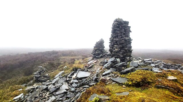
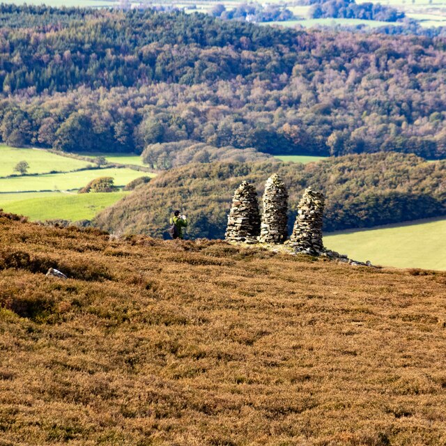
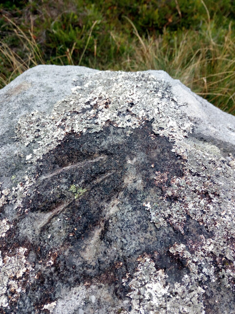
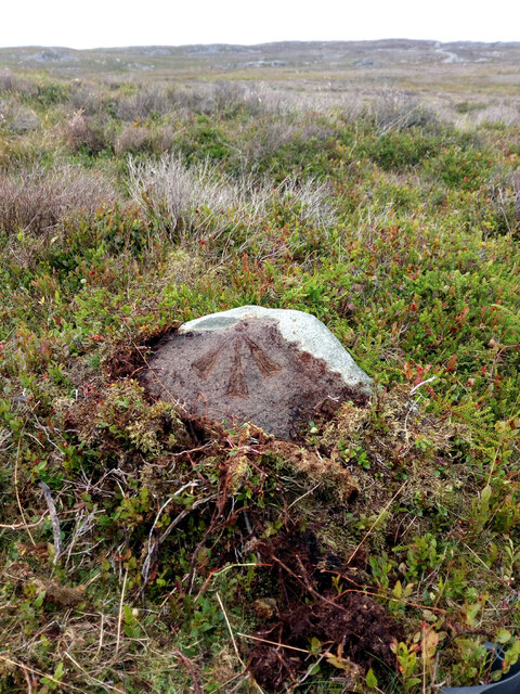
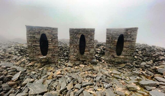
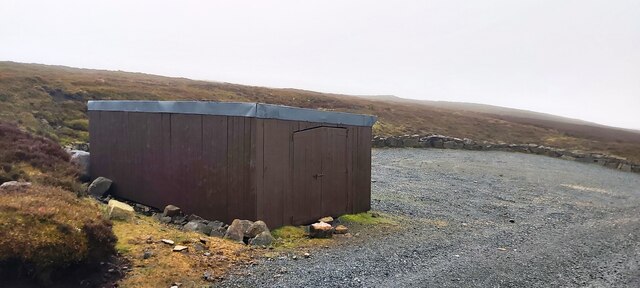
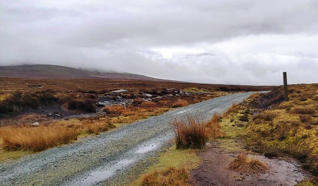
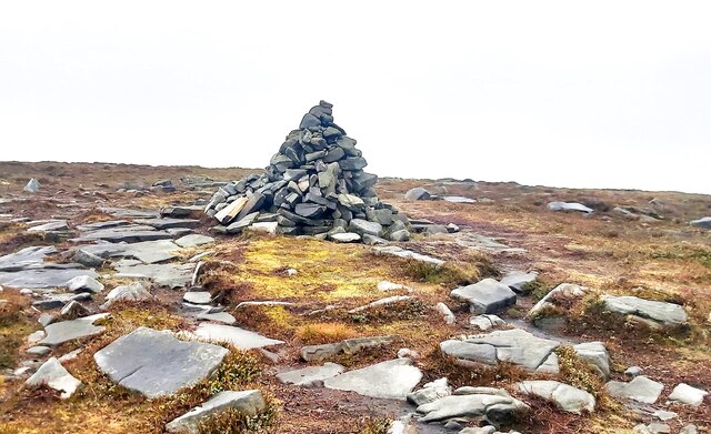
Plover Moss Images
Images are sourced within 2km of 54.027602/-2.6852127 or Grid Reference SD5559. Thanks to Geograph Open Source API. All images are credited.


Plover Moss is located at Grid Ref: SD5559 (Lat: 54.027602, Lng: -2.6852127)
Administrative County: Lancashire
District: Lancaster
Police Authority: Lancashire
What 3 Words
///corporate.guards.meal. Near Caton, Lancashire
Nearby Locations
Related Wikis

Grit Fell
Grit Fell is a lonely hill between Clougha Pike and Ward's Stone in the Forest of Bowland in Lancashire, England. Covered by heather and large bogs, it...

Clougha Pike
Clougha Pike ( KLUUF-ə) is a hill in the Forest of Bowland in Lancashire, England. From the west it looms over the Conder Valley, the city of Lancaster...
Littledale Hall
Littledale Hall is a former country house in the civil parish of Caton-with-Littledale in Lancashire, England, some 10 miles (16 km) east of Lancaster...

Quernmore
Quernmore (pronounced KWOR-mər) is a village and civil parish in the City of Lancaster in Lancashire, England. It is located about 3 miles (5 km) east...
Nearby Amenities
Located within 500m of 54.027602,-2.6852127Have you been to Plover Moss?
Leave your review of Plover Moss below (or comments, questions and feedback).