Hambleton
Settlement in Yorkshire Selby
England
Hambleton
Hambleton is a district located in North Yorkshire, England. Covering an area of approximately 1,311 square kilometers, it is predominantly a rural area with a population of around 90,000 people. The district is named after the prominent Hambleton Hills, which stretch across its western part.
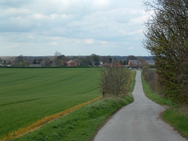
The landscape of Hambleton is characterized by its rolling hills, fertile farmlands, and picturesque villages. The area is known for its scenic beauty, making it popular among outdoor enthusiasts and nature lovers. The North York Moors National Park, which lies partly within Hambleton, offers stunning landscapes, diverse wildlife, and numerous walking trails.
The district is home to several historic market towns, including Northallerton, Thirsk, and Easingwold. These towns boast charming Georgian and Victorian architecture, traditional markets, and a range of amenities. Northallerton, the administrative center of Hambleton, is particularly known for its historic buildings such as the All Saints Church, the County Hall, and the High Street.
Hambleton also has a vibrant agricultural industry, with farming playing a significant role in the local economy. The area is known for its production of crops such as barley, wheat, and oats, as well as livestock farming, especially sheep and cattle.
Overall, Hambleton offers a tranquil and idyllic setting, rich in natural beauty and historical heritage. It attracts visitors and residents alike with its charming villages, stunning landscapes, and a strong sense of community.
If you have any feedback on the listing, please let us know in the comments section below.
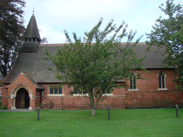
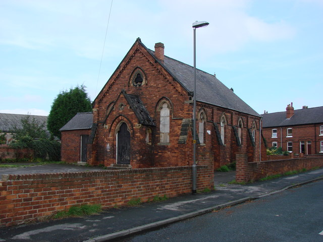
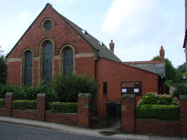
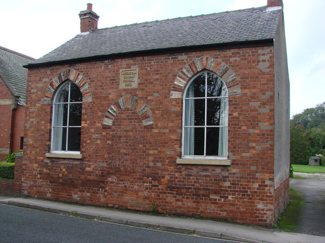
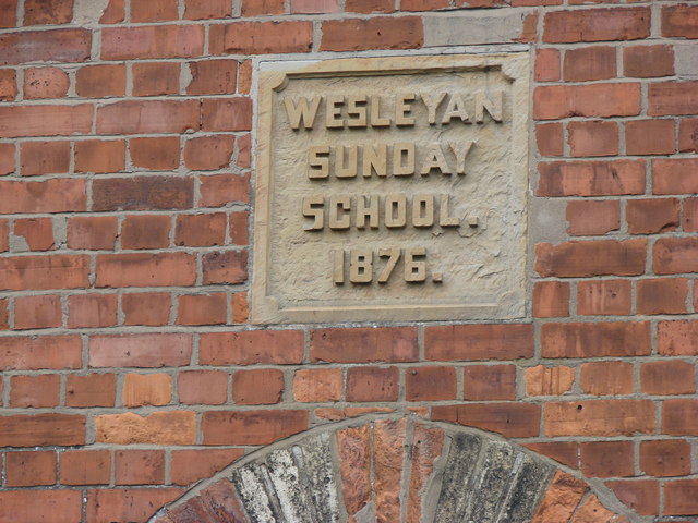
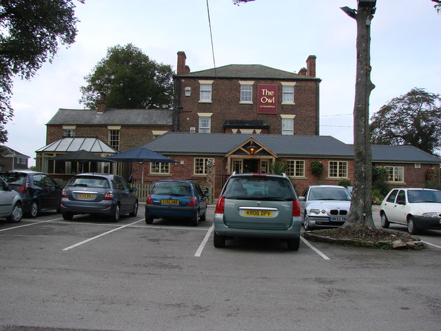
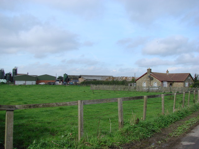
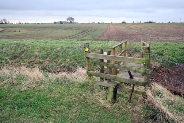
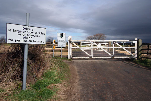
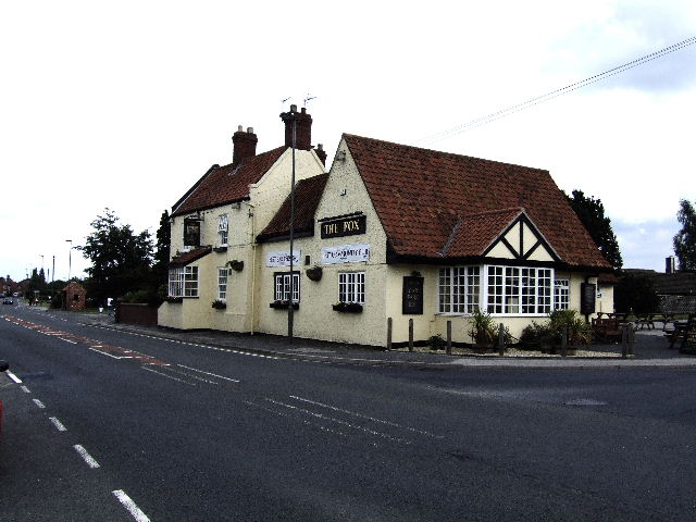
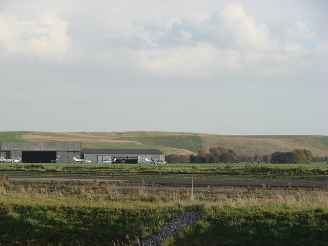
Hambleton Images
Images are sourced within 2km of 53.770789/-1.1615968 or Grid Reference SE5530. Thanks to Geograph Open Source API. All images are credited.
Hambleton is located at Grid Ref: SE5530 (Lat: 53.770789, Lng: -1.1615968)
Division: West Riding
Administrative County: North Yorkshire
District: Selby
Police Authority: North Yorkshire
What 3 Words
///montage.shams.corrosive. Near Hambleton, North Yorkshire
Related Wikis

Hambleton, Selby
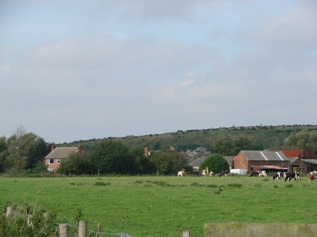
Hambleton is a small village and civil parish near to Selby in North Yorkshire, England. It is a ward of the Selby District and should not be confused...

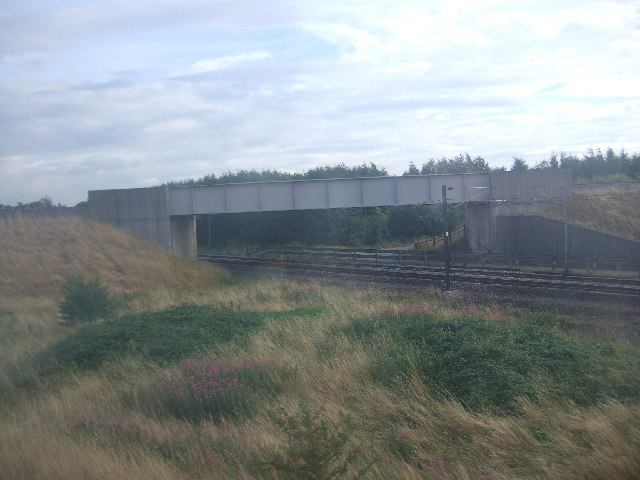
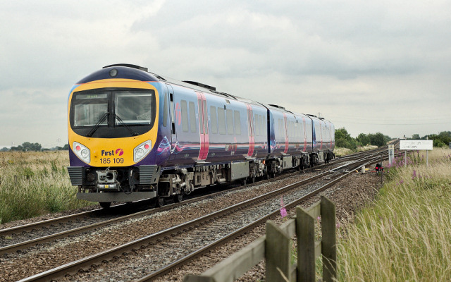
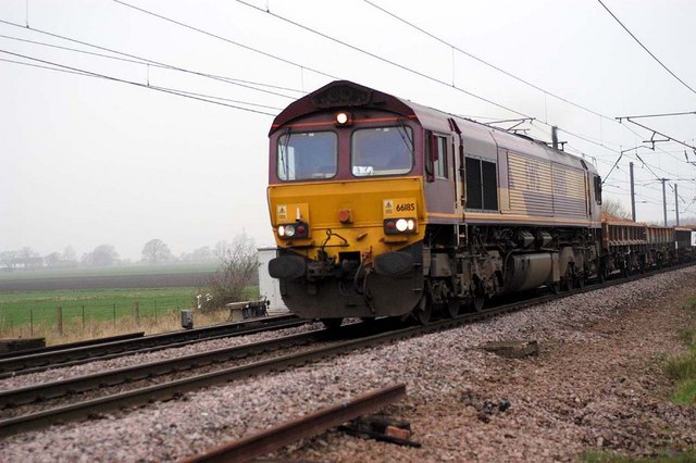
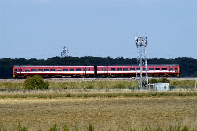
Hambleton railway station
Hambleton railway station was a railway station on the Leeds and Selby Railway in North Yorkshire, England. The station was opened with the line in 1834...

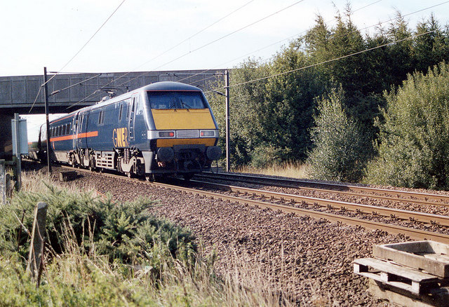
Hambleton Junction
Hambleton Junction is a grade-separated railway junction near Selby, North Yorkshire, England, which connects the East Coast Main Line with the Leeds to...

Gateforth
Gateforth is a small village and civil parish located in North Yorkshire, England. The village is 4 miles (6 km) south west of the town of Selby and 1...
Thorpe Willoughby
Thorpe Willoughby is a village and civil parish in the Selby District of North Yorkshire, England. The village is situated just off the A1238 (a primary...

Gascoigne Wood Junction railway station
Gascoigne Wood Junction railway station was a railway station near Sherburn-in-Elmet in North Yorkshire, England. It was originally opened as a junction...
Sherburn-in-Elmet Airfield
Sherburn-in-Elmet Airfield (ICAO: EGCJ) is located 1.5 nautical miles (2.8 km; 1.7 mi) east of Sherburn in Elmet village and 5.5 NM (10.2 km; 6.3 mi) west...
Biggin, North Yorkshire
Biggin is a village and civil parish in the Selby District of North Yorkshire, England, north-west of Selby. The village was historically part of the West...
Nearby Amenities
Located within 500m of 53.770789,-1.1615968Have you been to Hambleton?
Leave your review of Hambleton below (or comments, questions and feedback).